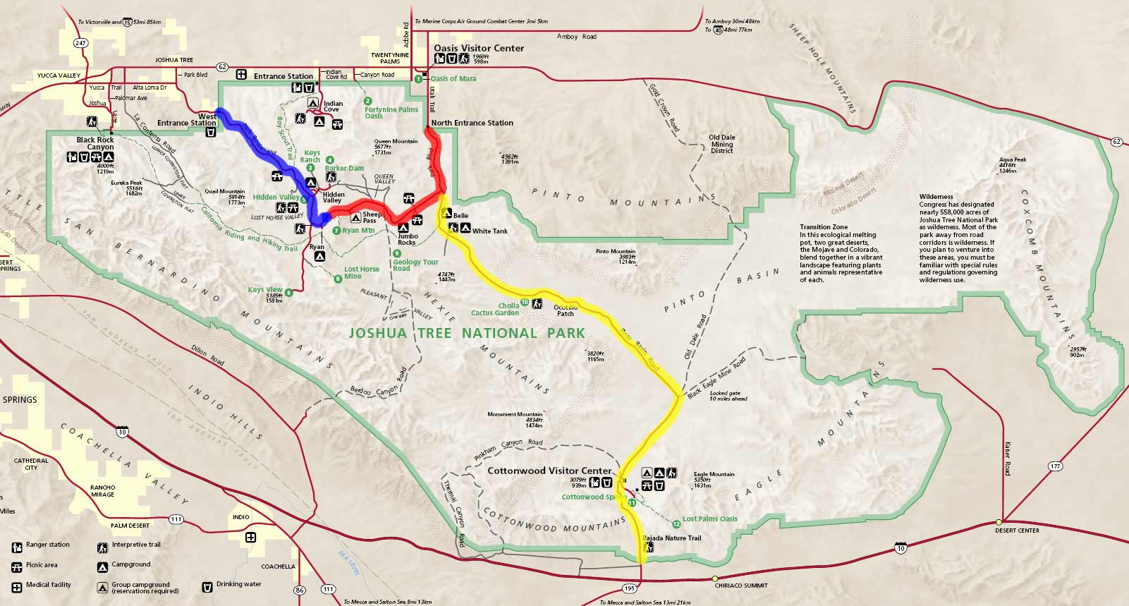
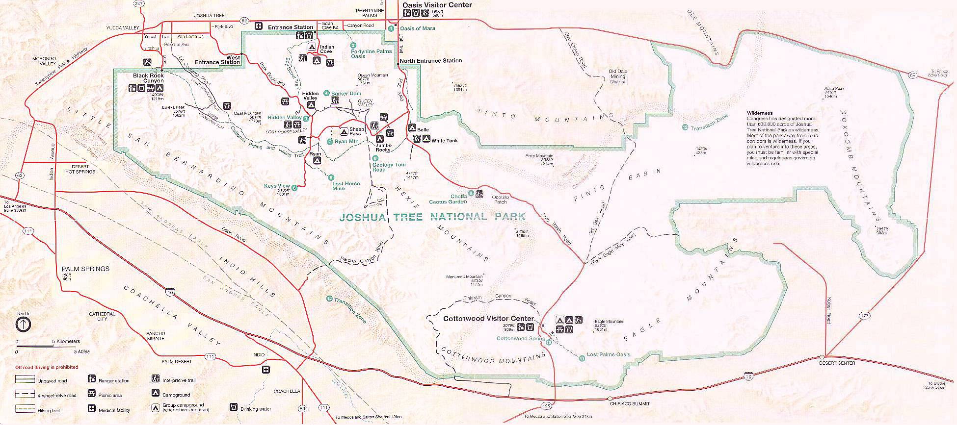
Joshua Tree National Park map taken from National Parked (pdf).
Joshua Tree National Park - Pictures/Photos - Pinkham Canyon Road - Cottonwood Mountains - Monument Mountain - Eagle Mountain
I visited Joshua Tree National Park (*) for the first time in several years on Sunday, November 11, 2012. I'd never hiked it before until this time. Previously I was touring desert communities, assessing working, hiking, and living conditions as a function of manmade EMF exposure. The following are images, videos, PDFs, maps, and so forth that I have collected on this remote, beautiful desert. Please check the Open Directory Project for additional listings for Joshua Tree National Park.
Joshua Tree National Park map taken from National Parked (pdf).
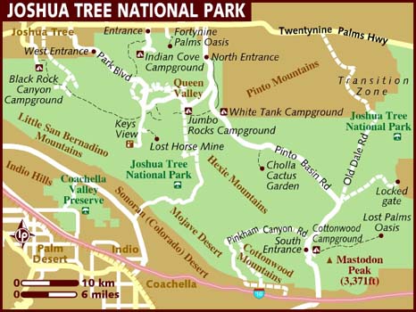
Map taken from National-Park.com. A similar map in pdf form here.
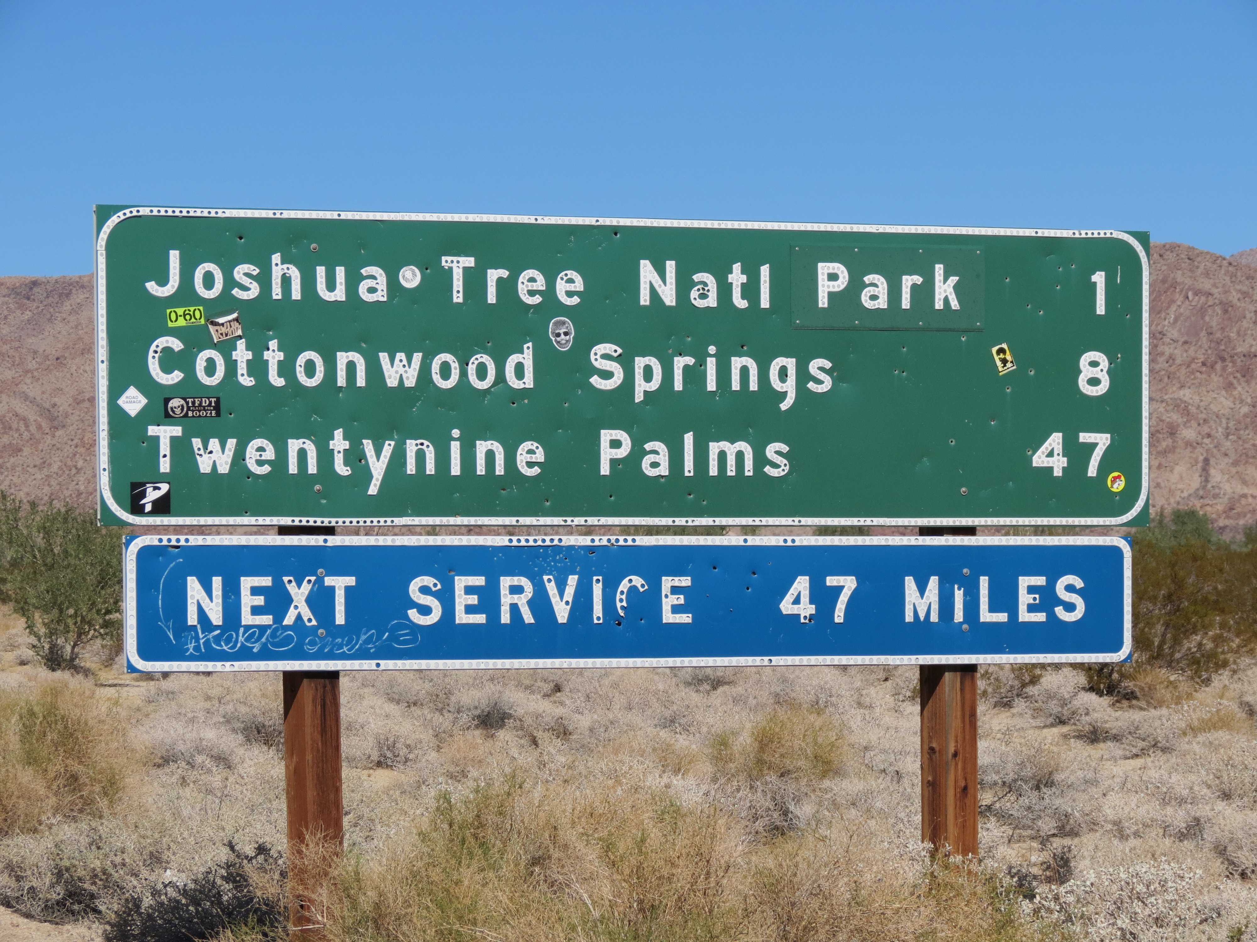
Sign on Cottonwood Springs Road near US Interstate 10 -- 1 mile from Joshua Tree National Park, 8 miles from the Cottonwood Springs NPS facility, and 47 miles from Twentynine Palms. Note the stickers on the sign, an apparent tradition here. The sign is replaced every so often as quantity of stickers grows. 11/11/2012.
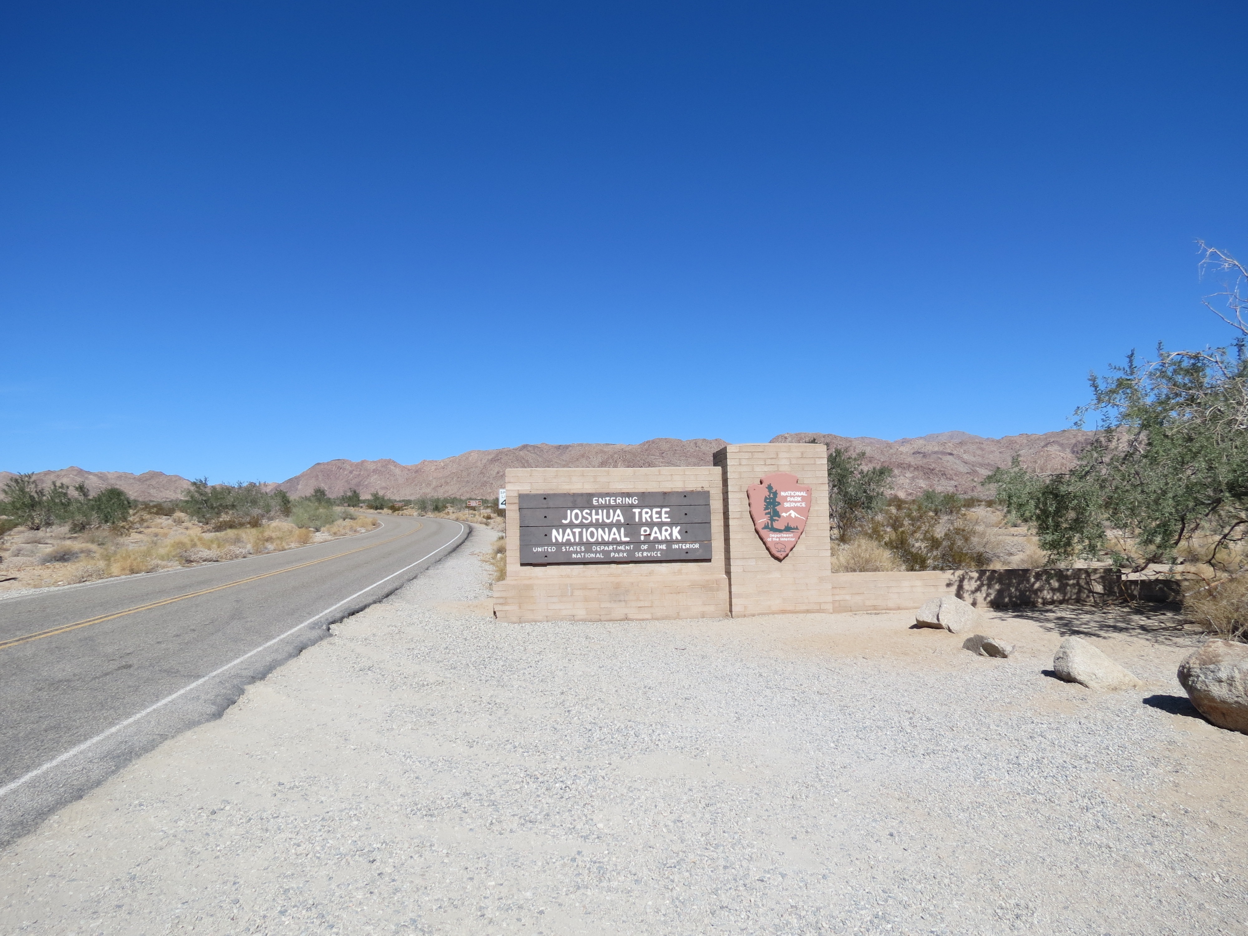
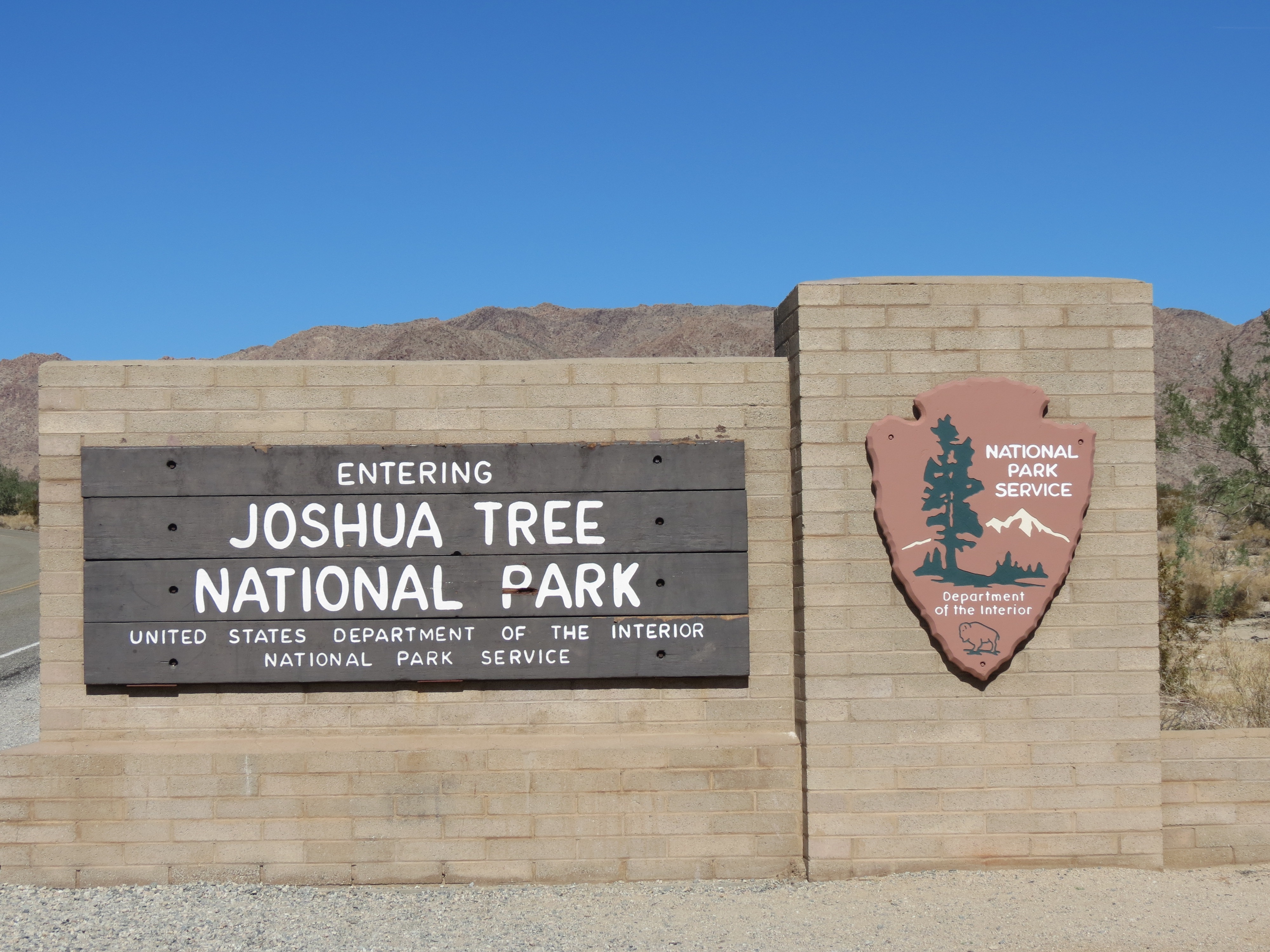
Signs for "Entering Joshua Tree National Park," "National Park Service," and "United States Department Of The Interior." 11/11/2012.
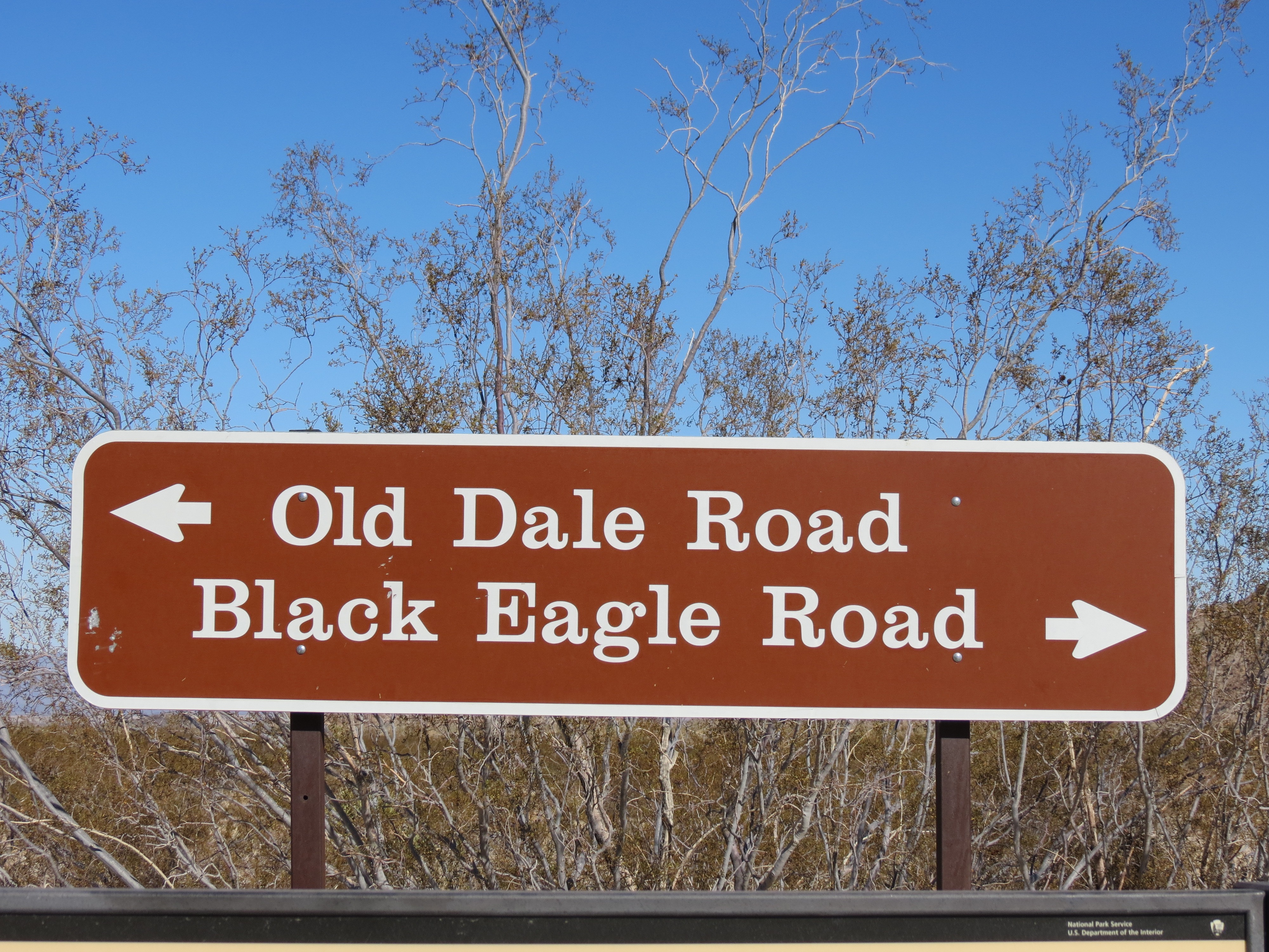
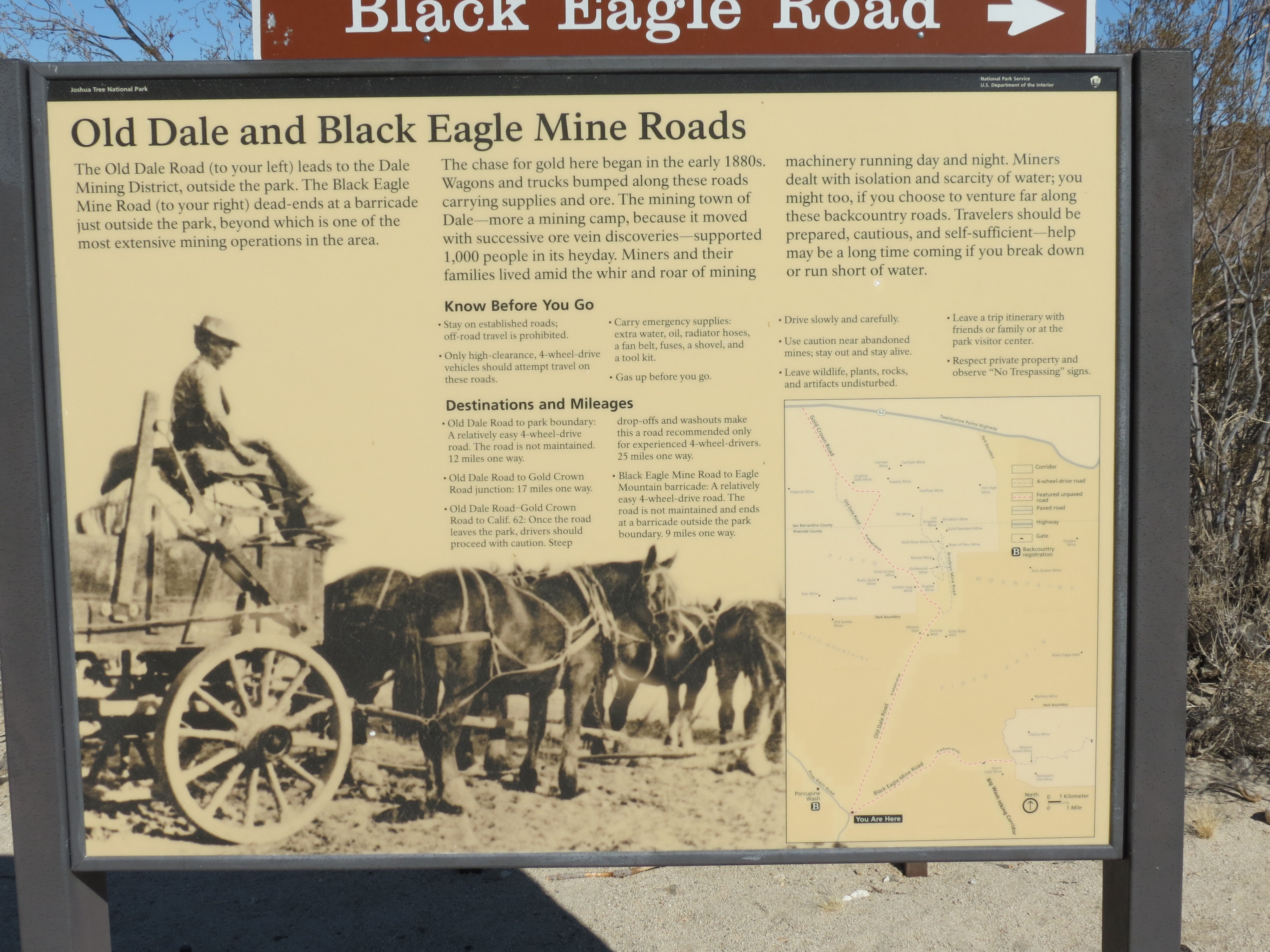
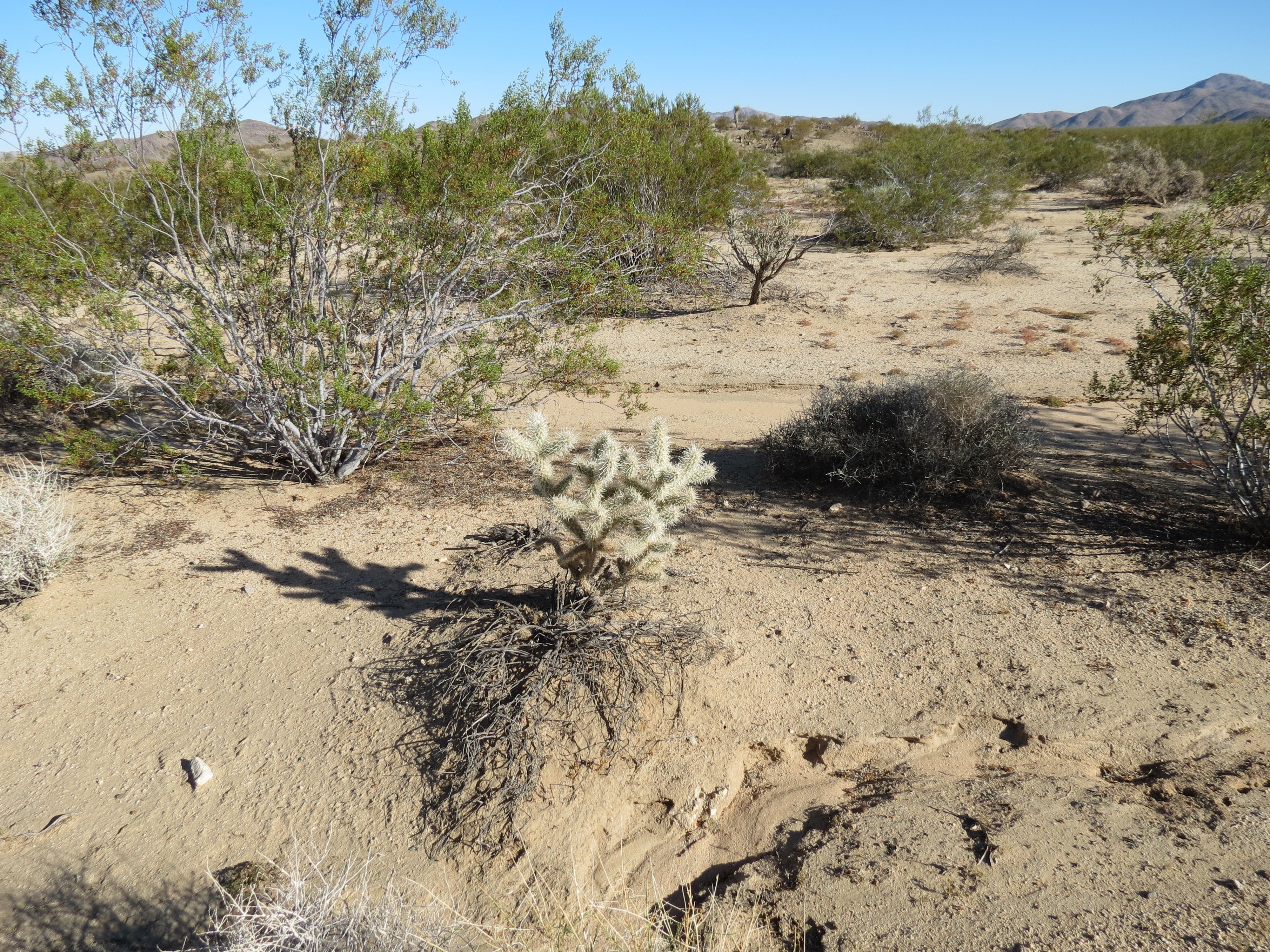
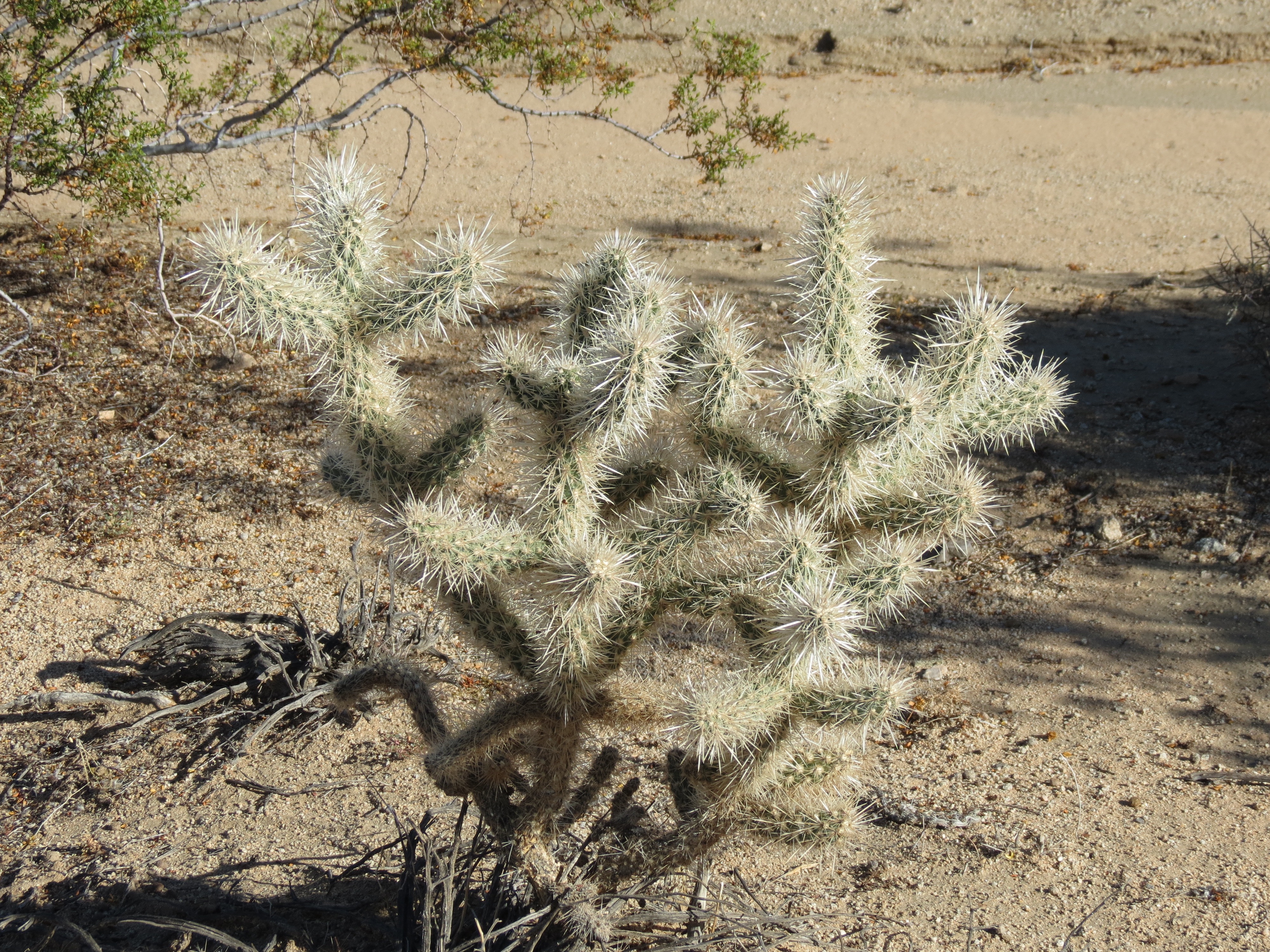
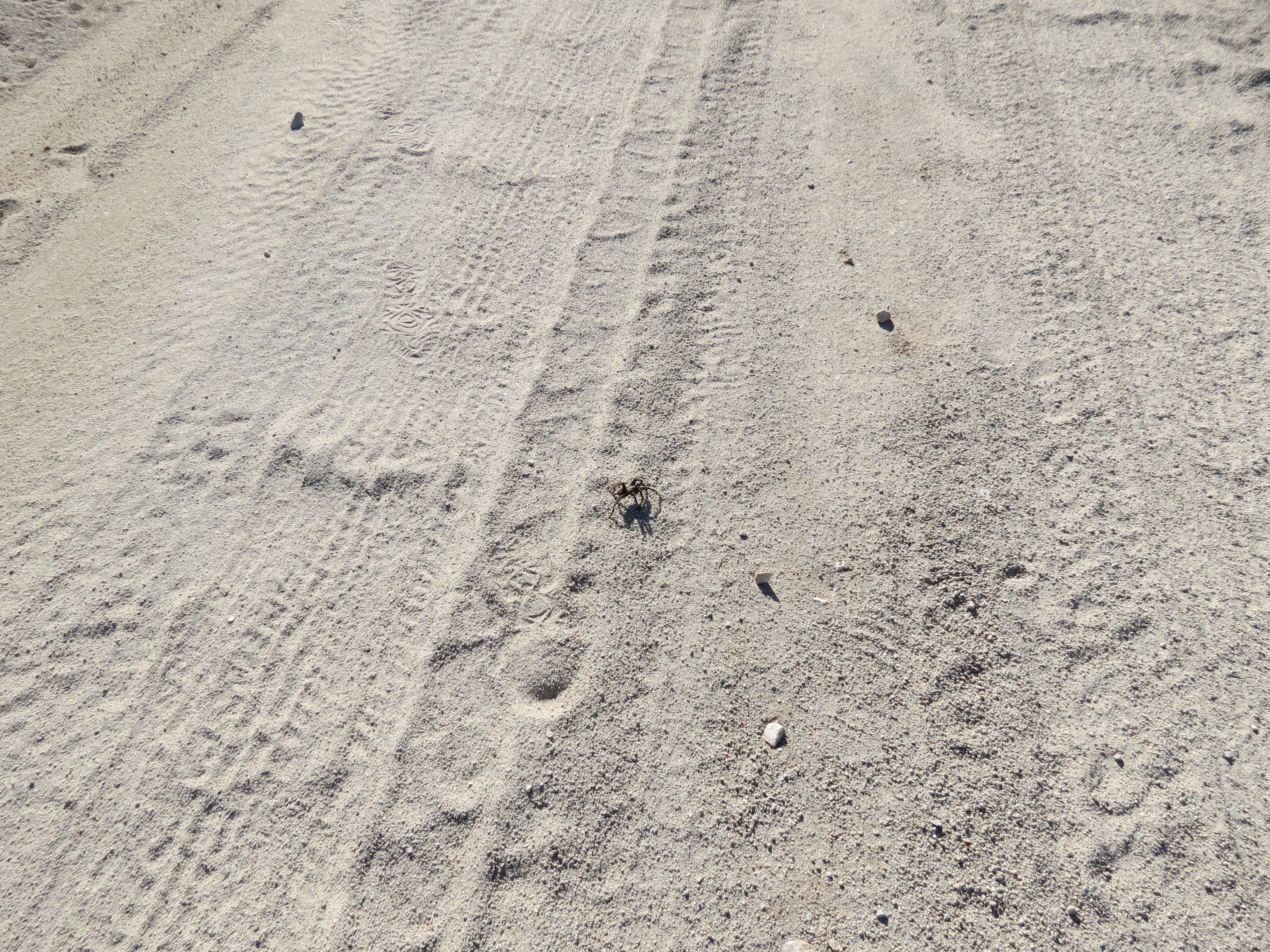
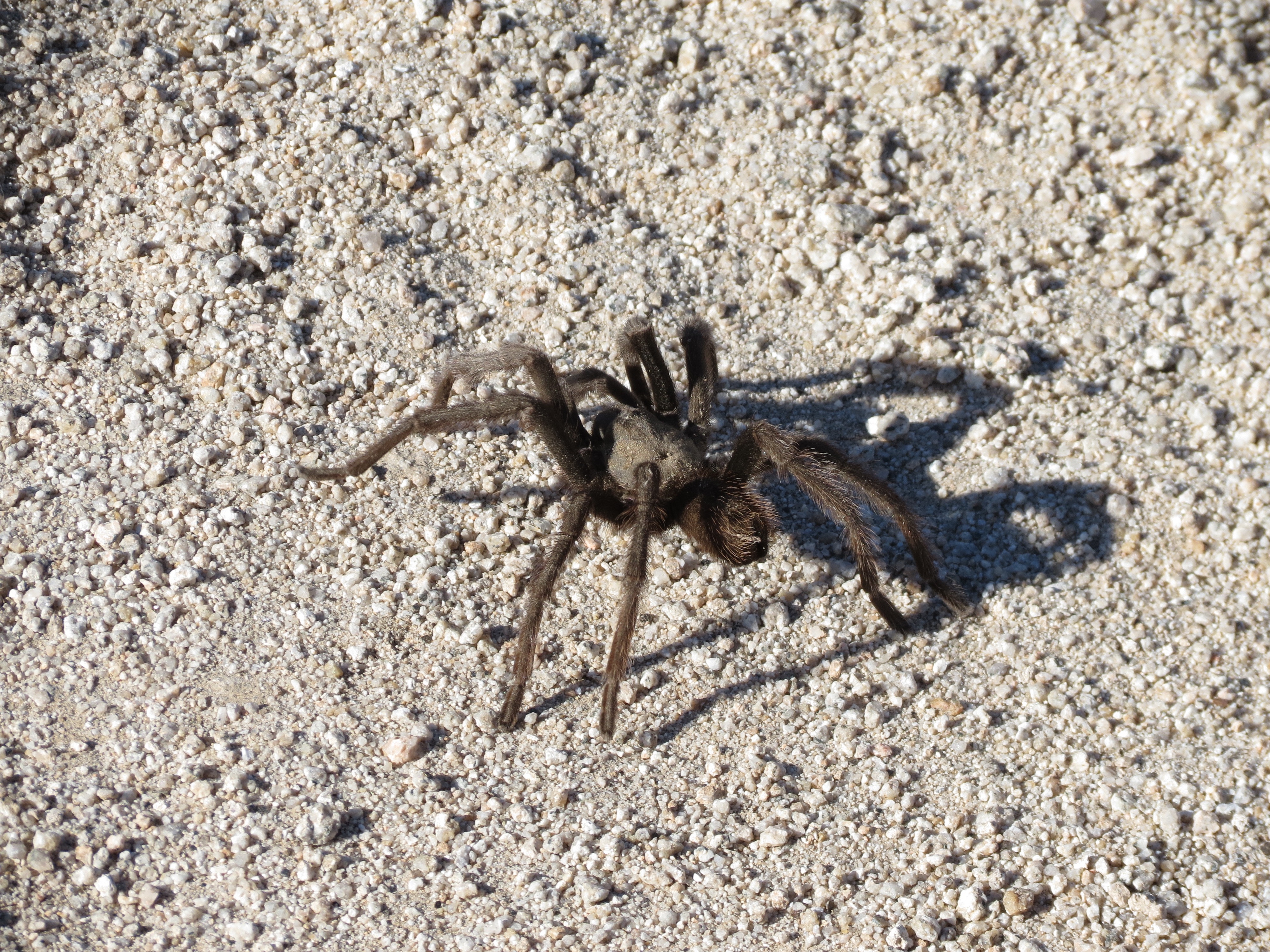
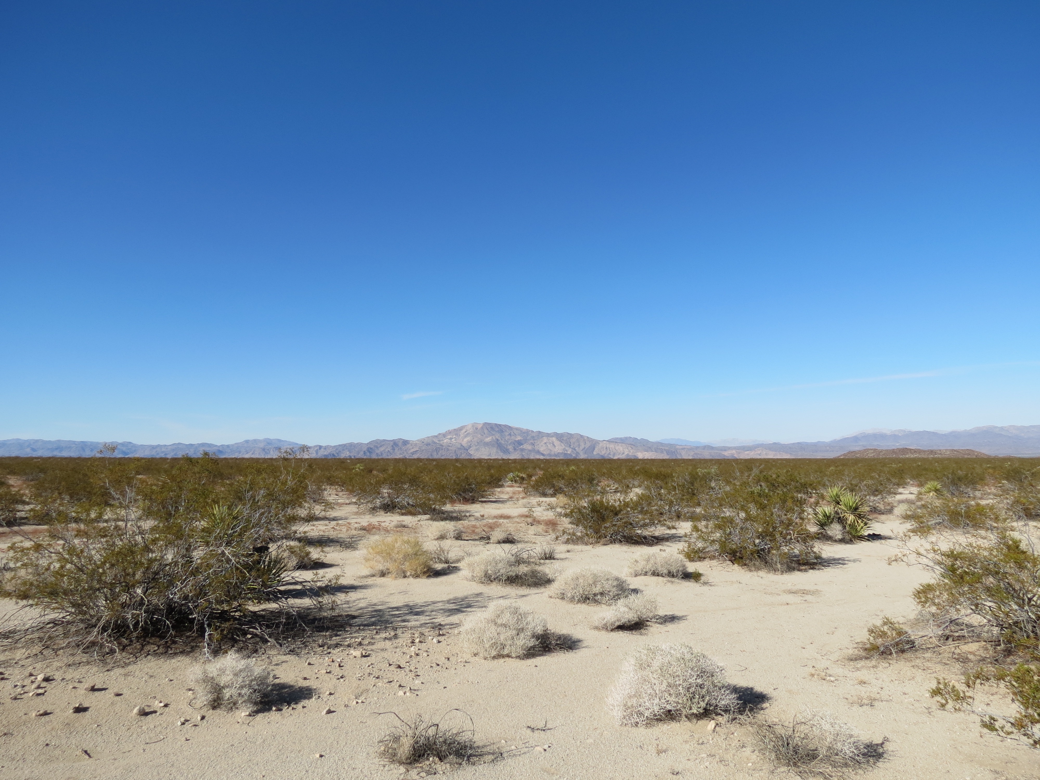
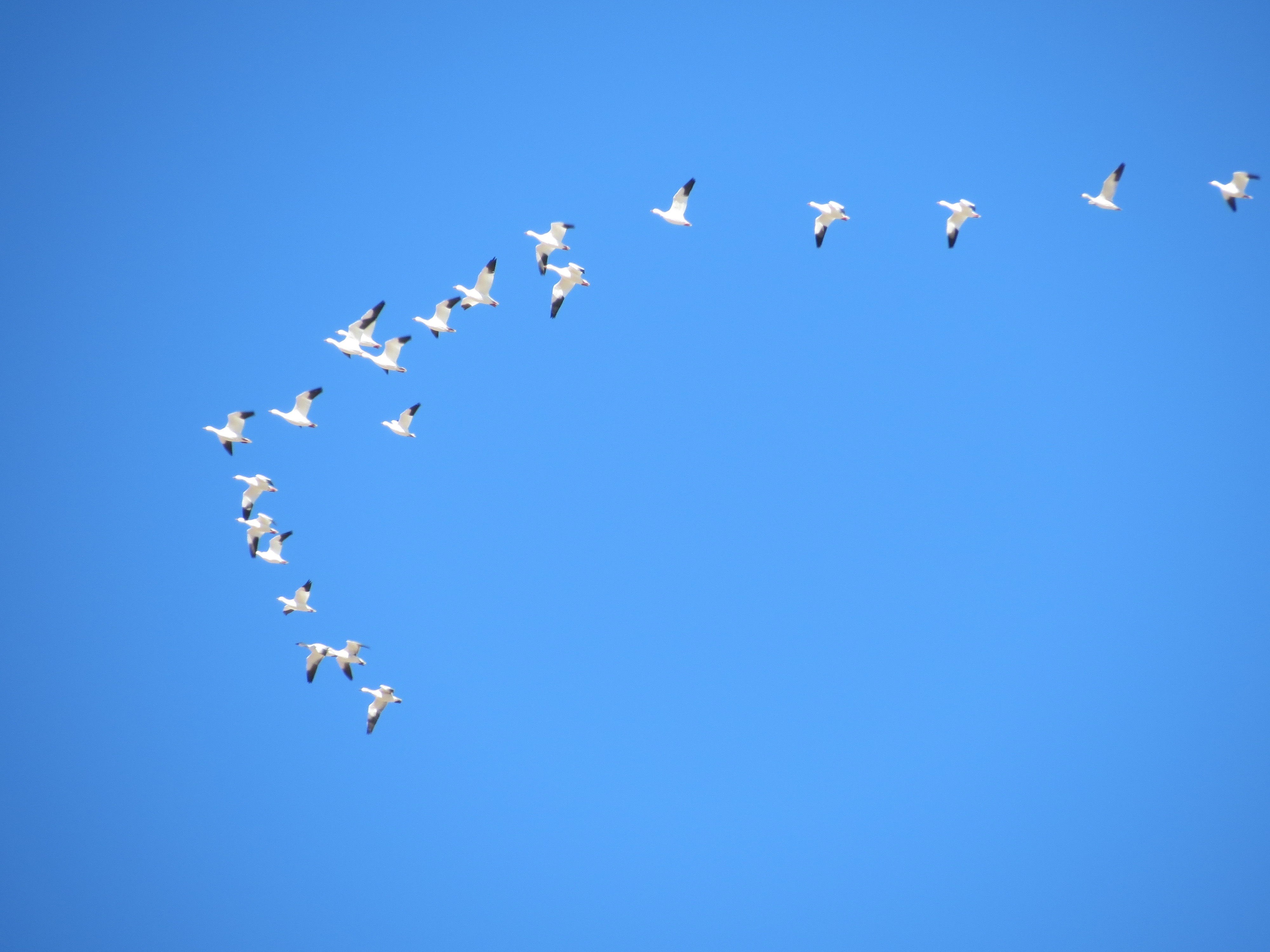

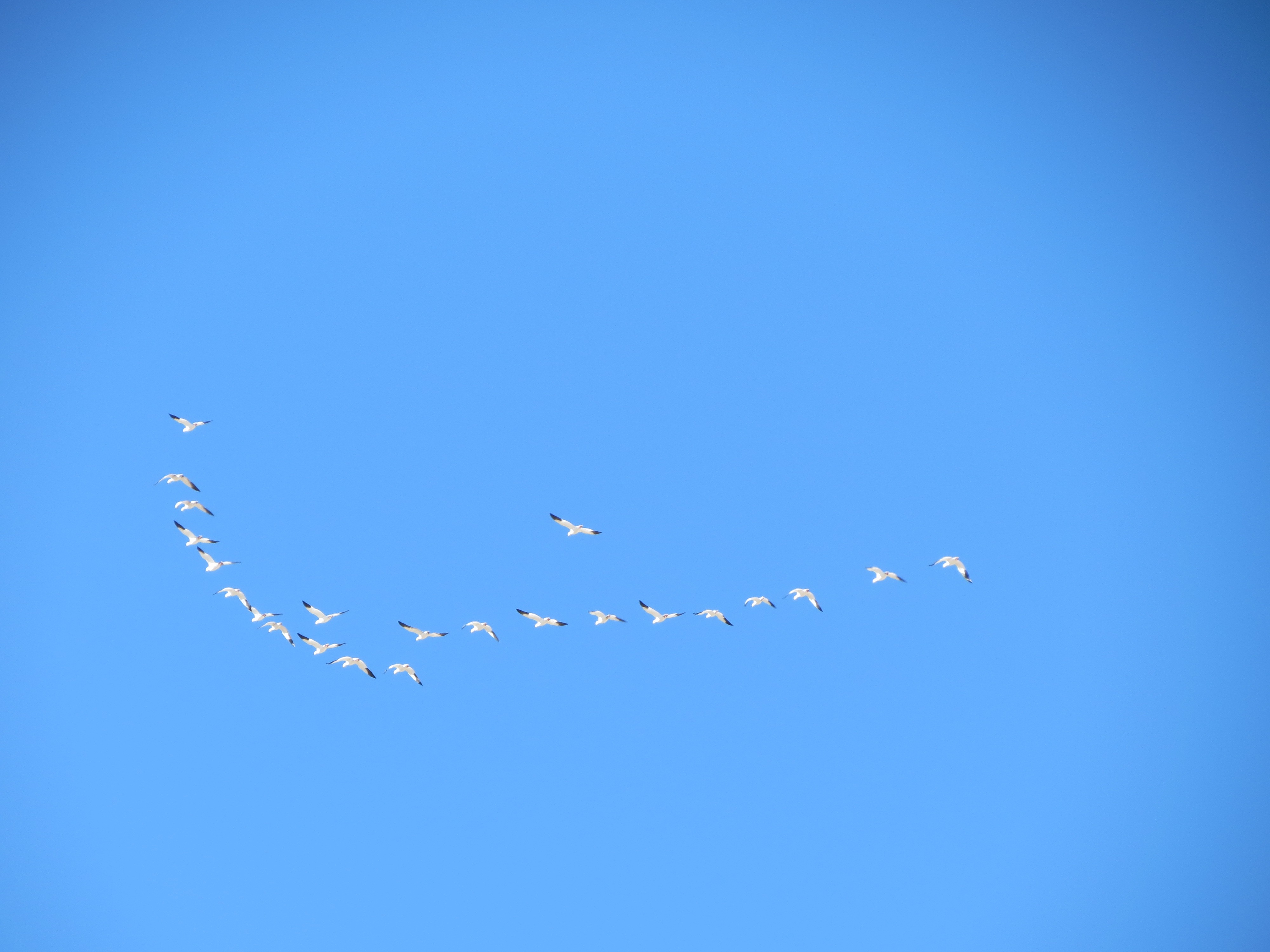
Sign for Old Dale Mine Road and Black Eagle Mine Road. History of the area. Cholla cactus. View along Black Eagle Road, including two shots of a tarantula I found. View toward Pinto Mountains, still within the 1400 square mile Joshua Tree National Park. Snow Geese, westward bound: Good luck finding your winter nesting ground! 11/11/2012.
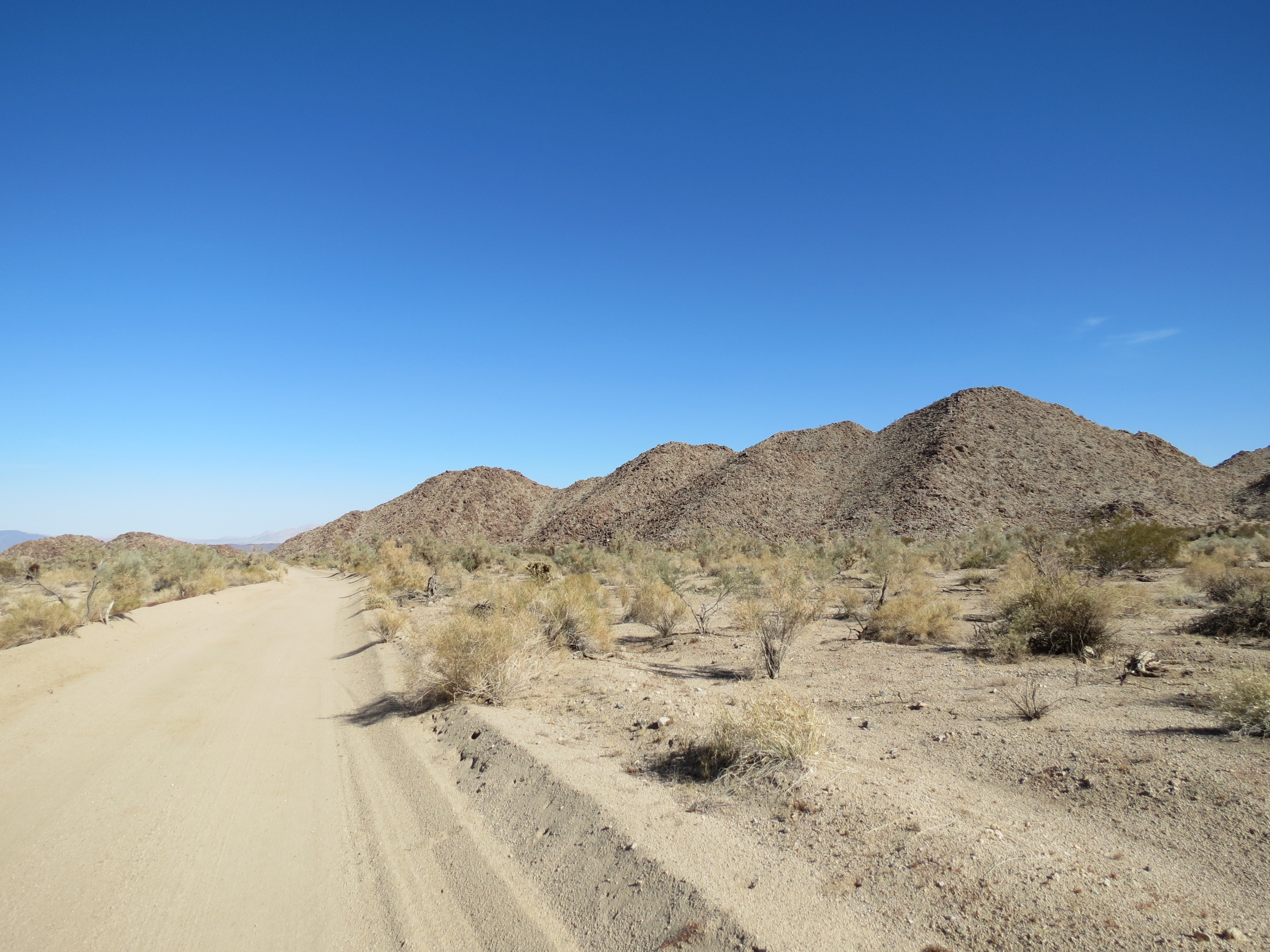
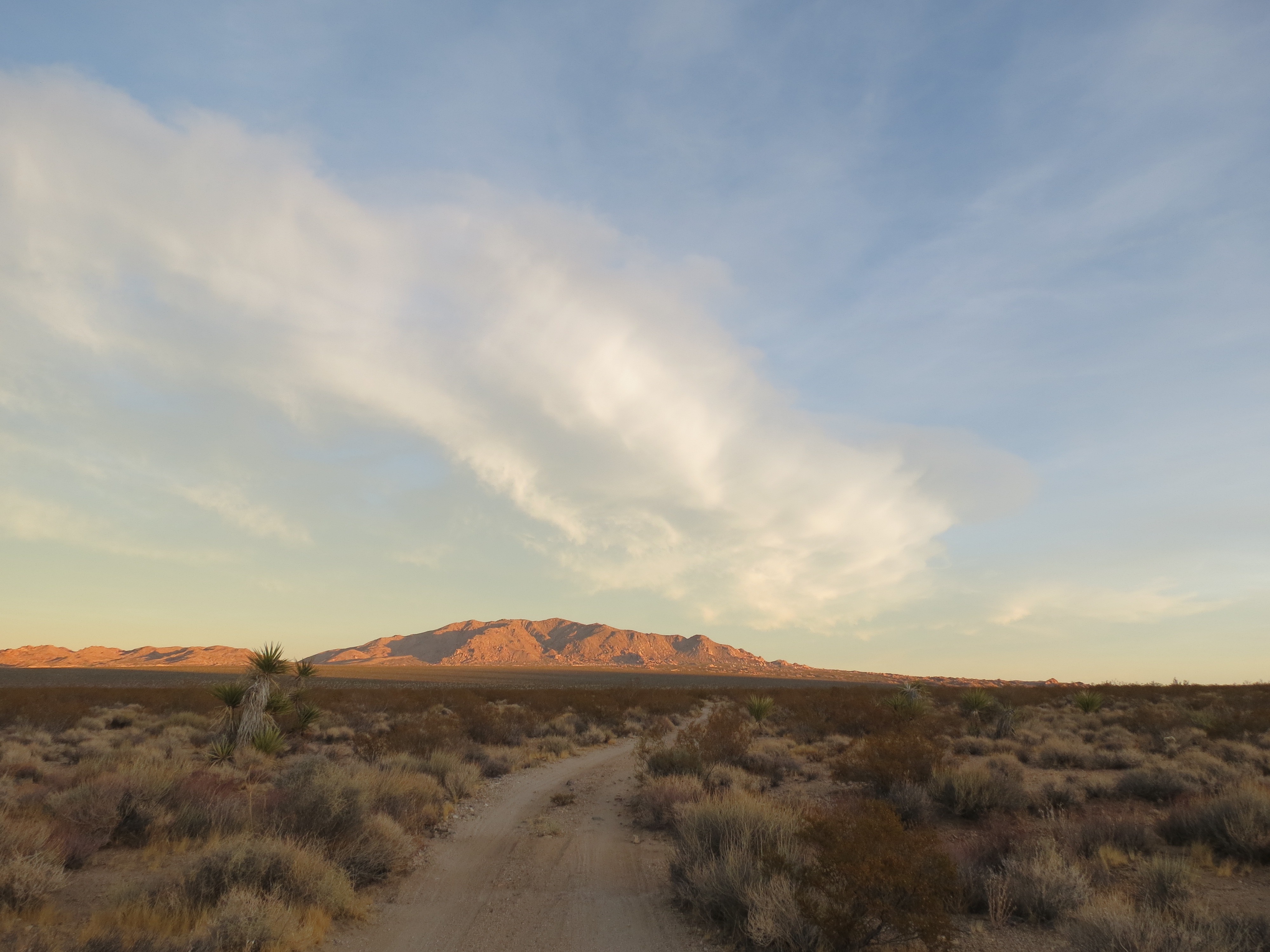
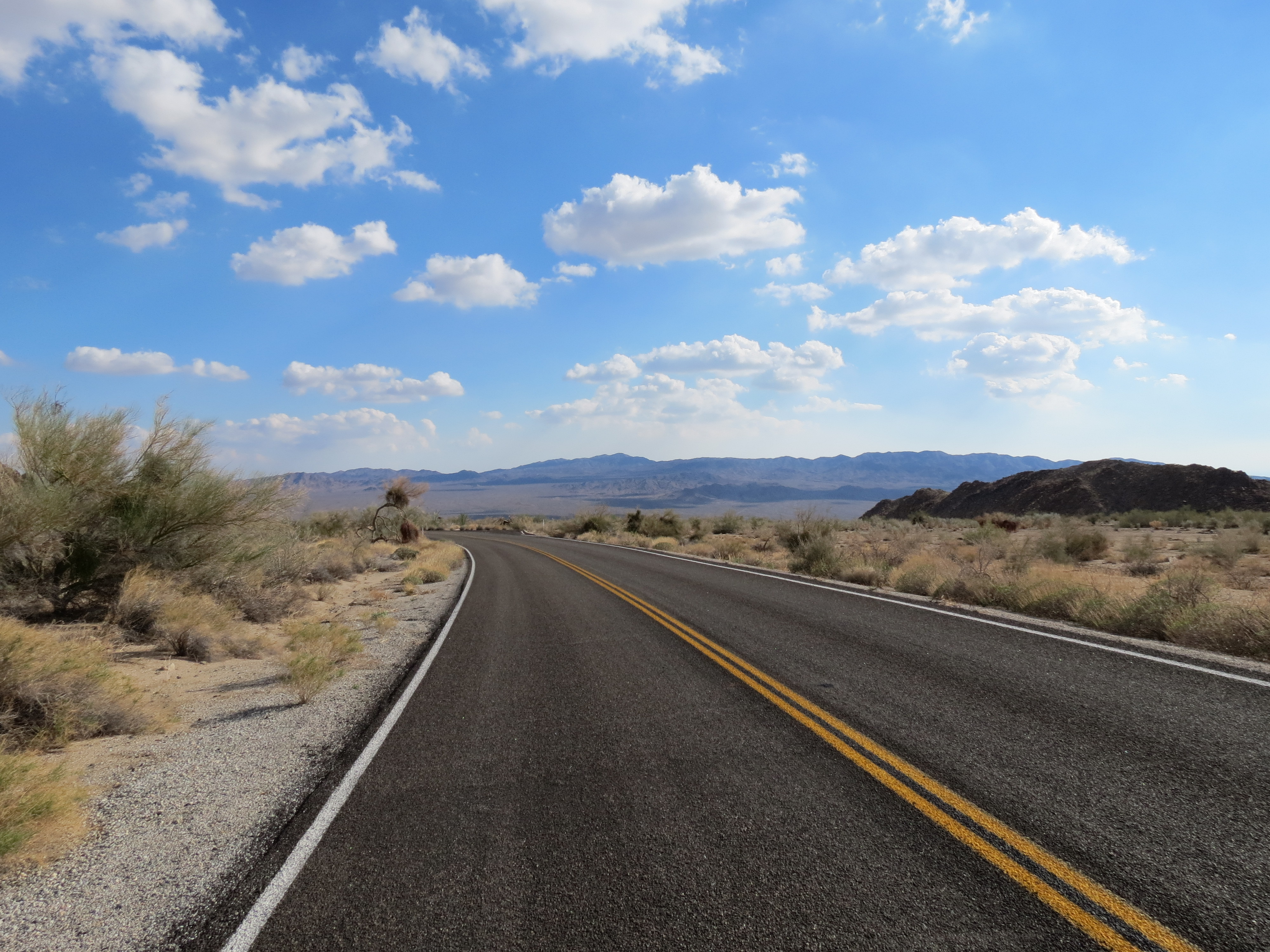
Pinkham Canyon Road, near beginning, Joshua Tree NP. 12/8/2012.
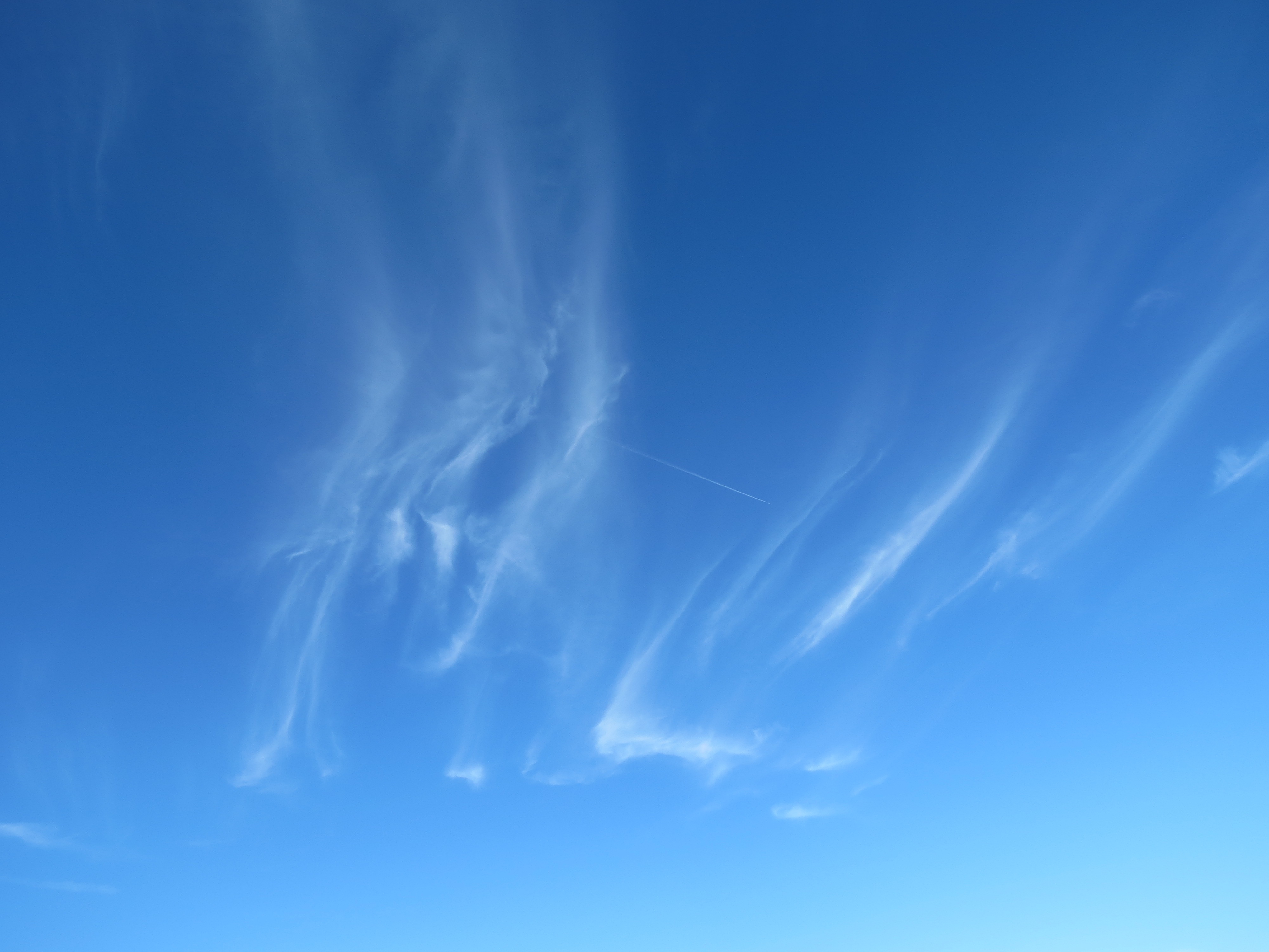
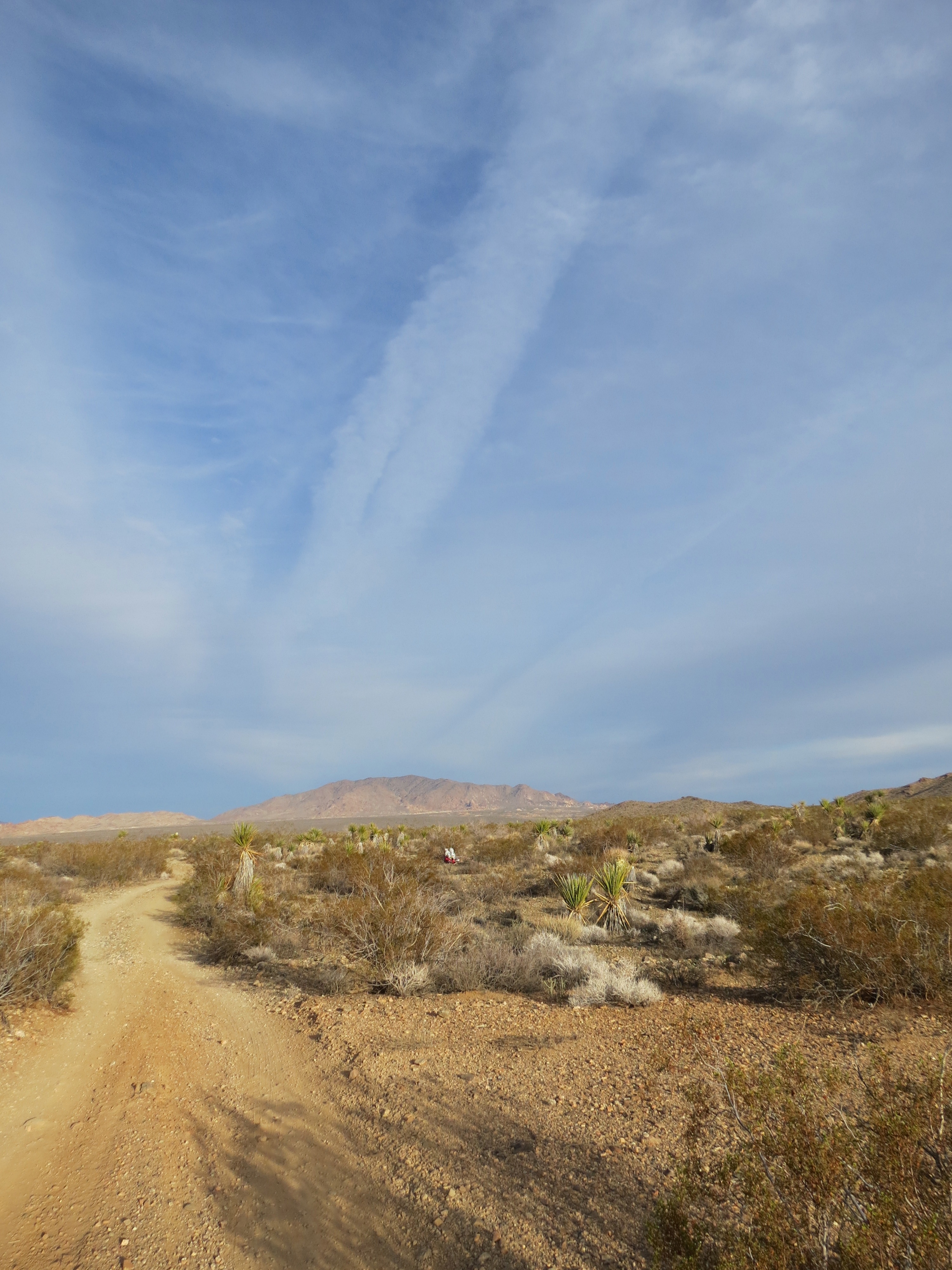
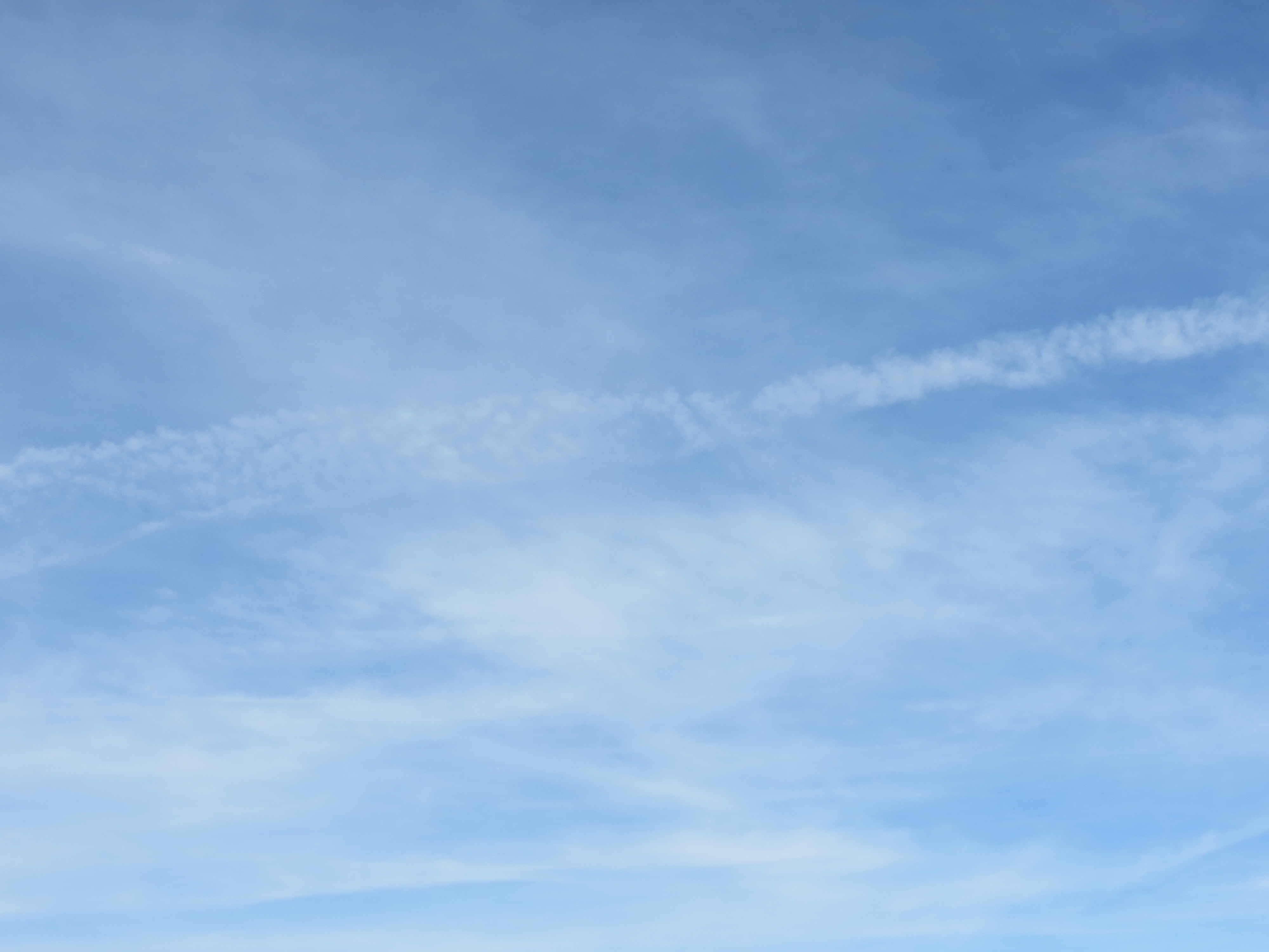
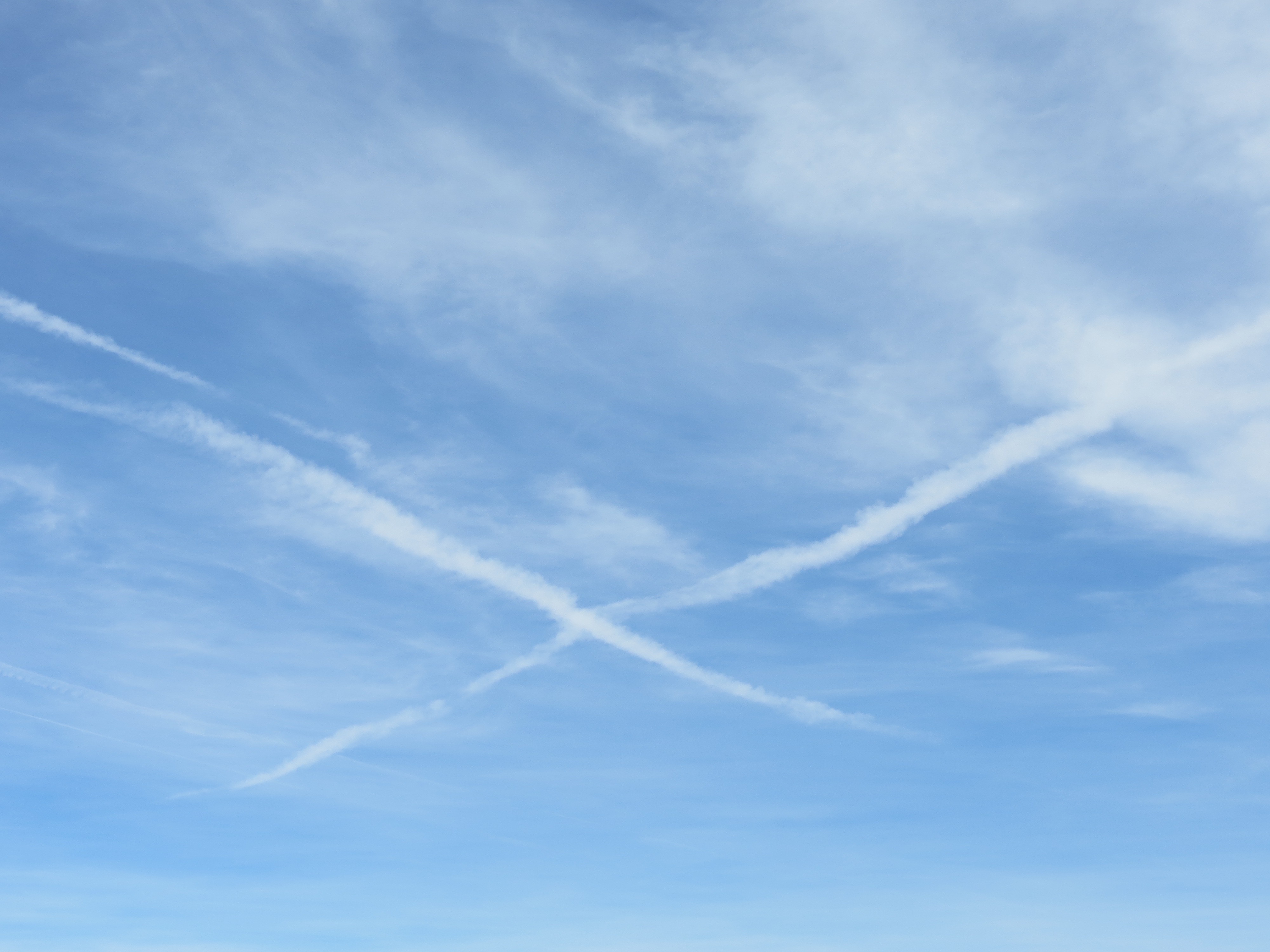
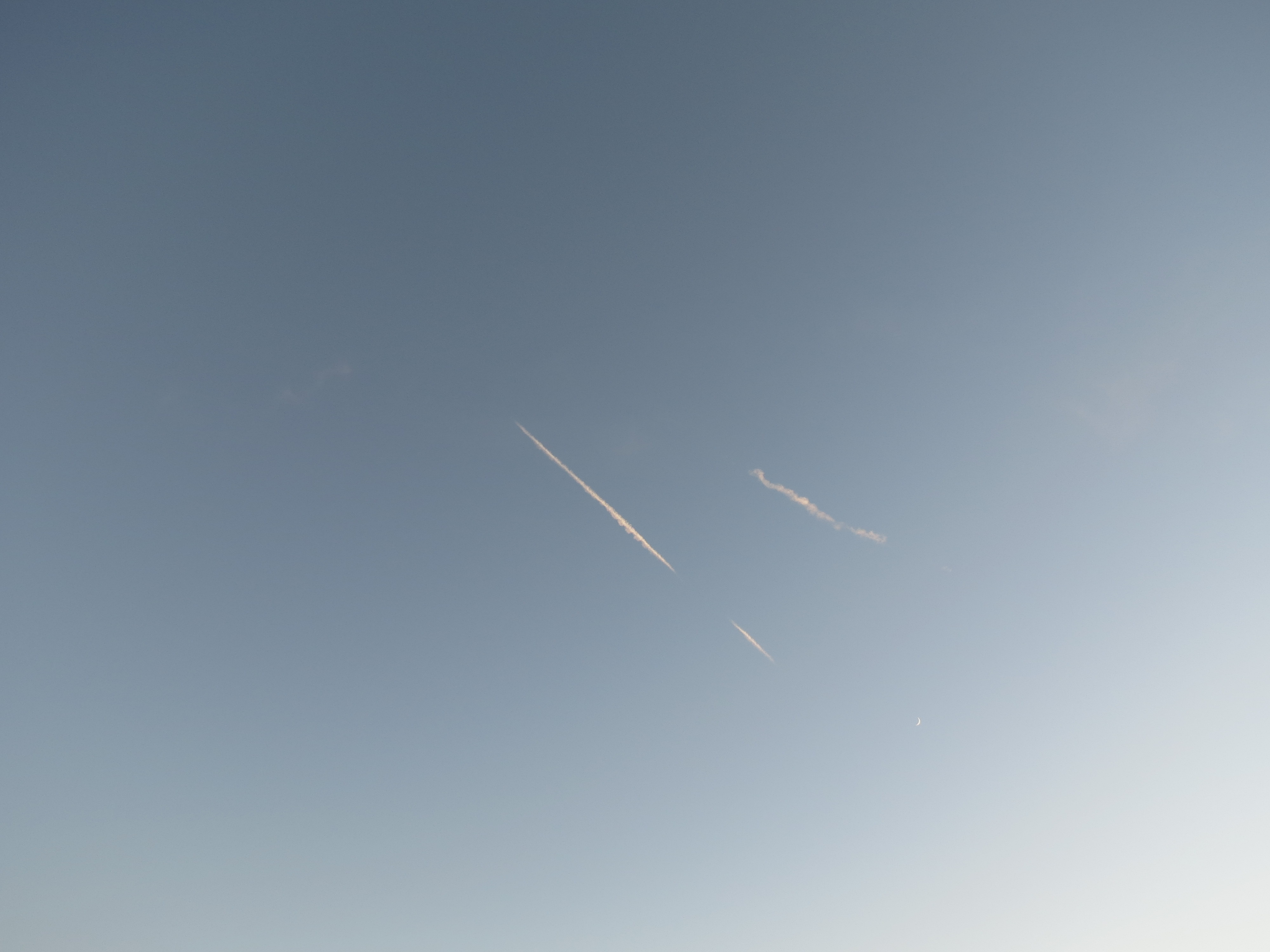
Chemtrails, Joshua Tree National Park. 12/8/2012.
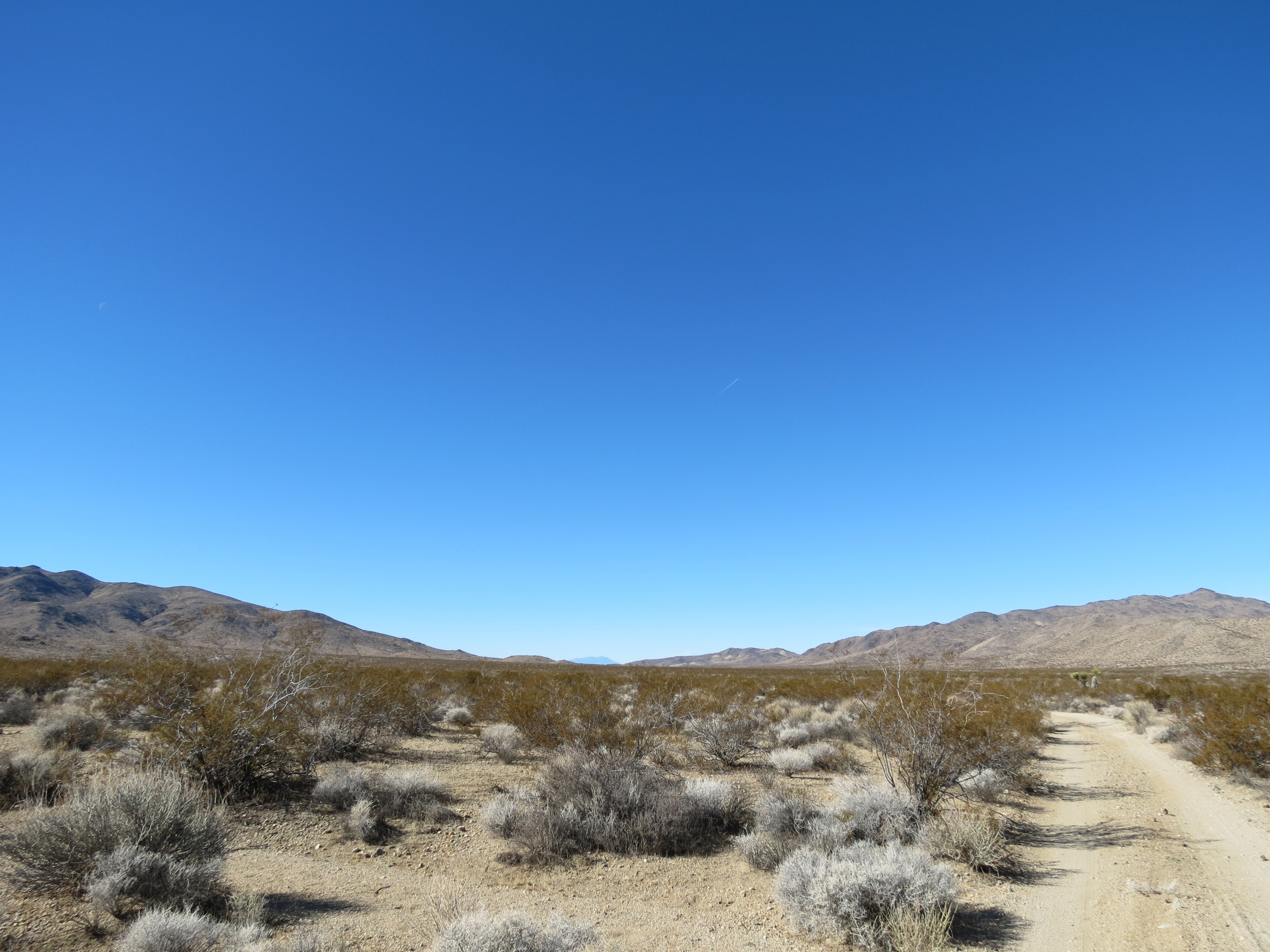
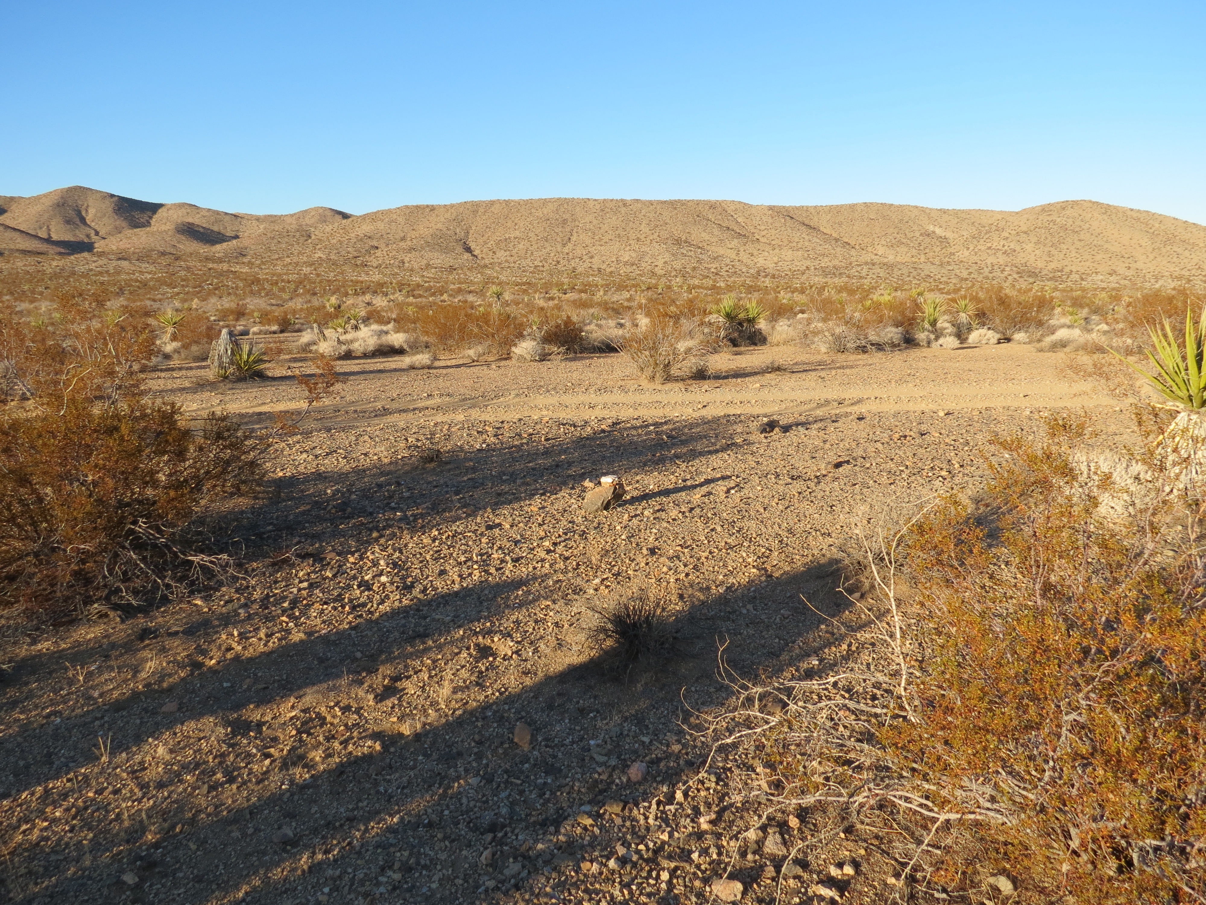
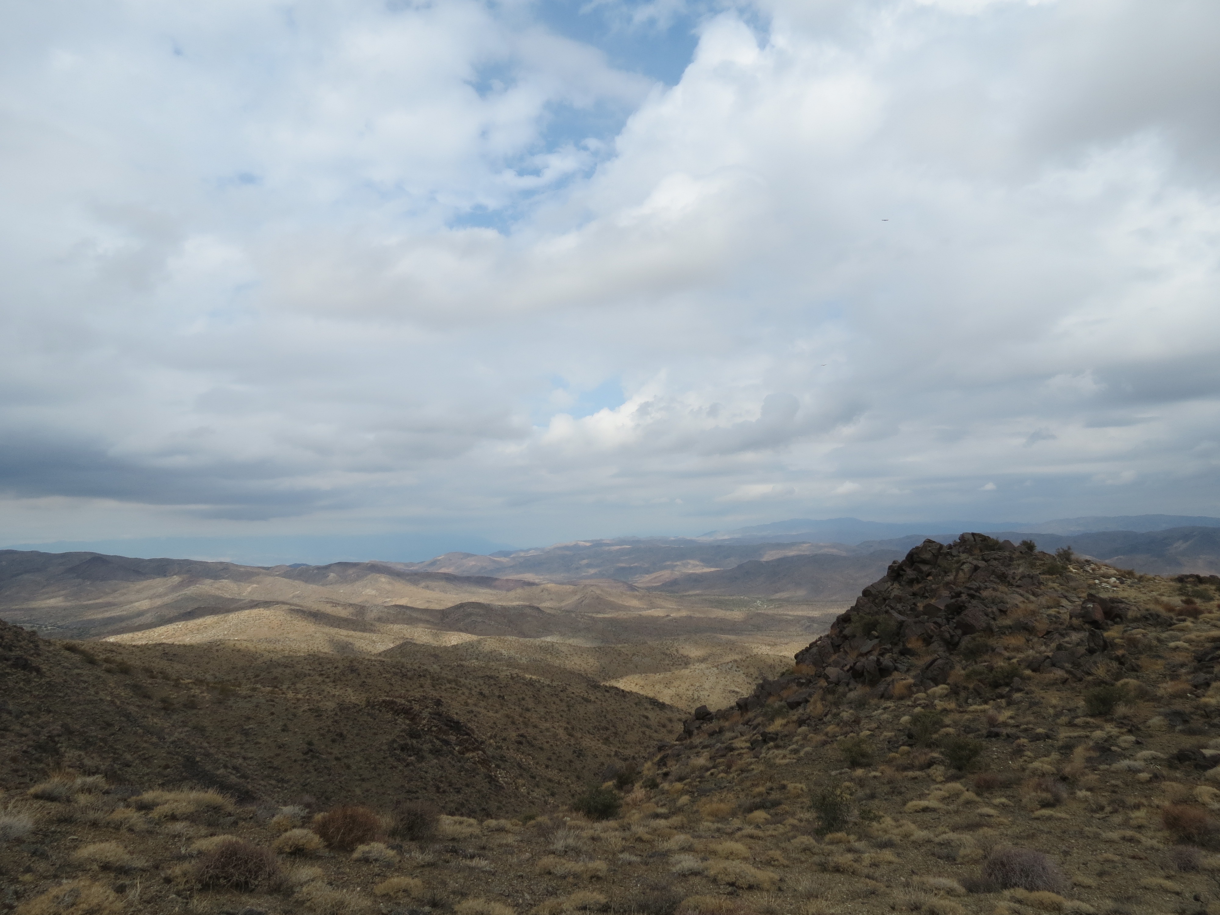
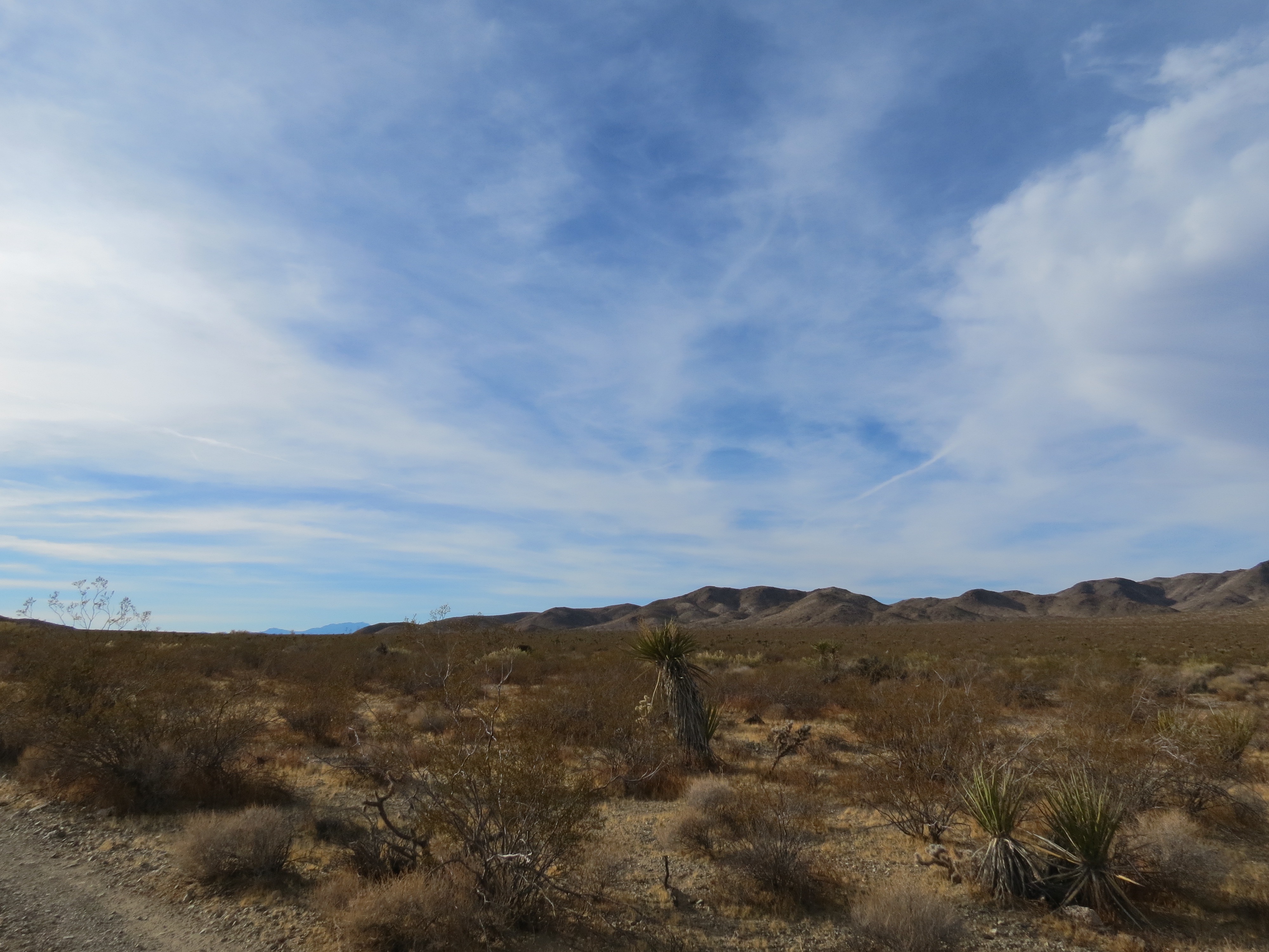
View toward Smoke Tree Wash and Eagle Mountain from the slopes of the Cottonwood Mountains. 12/8/2012.

Cactus Wren perched on slate slab, Cottonwood Mountains, Joshua Tree National Park. 12/8/2012.
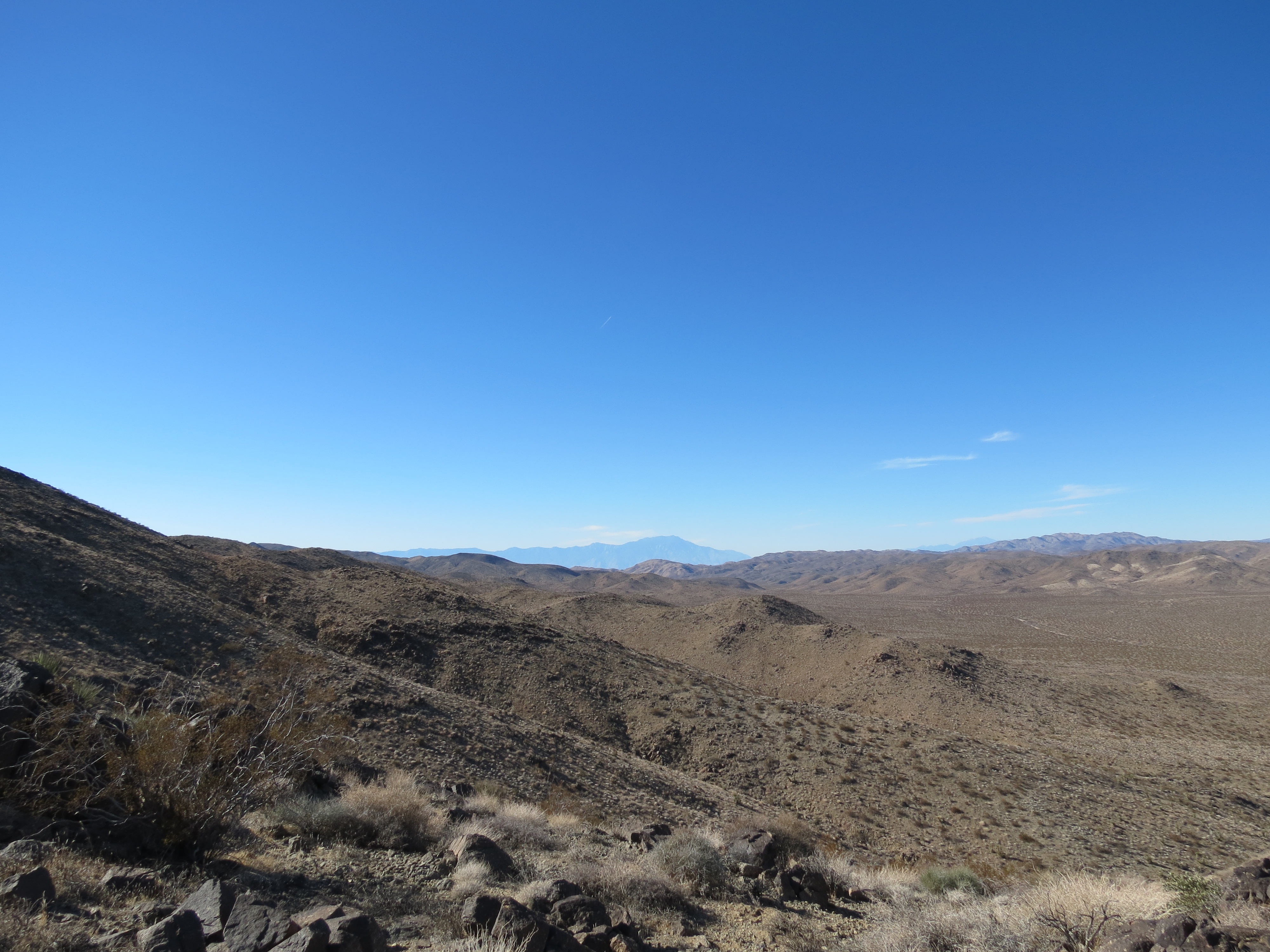
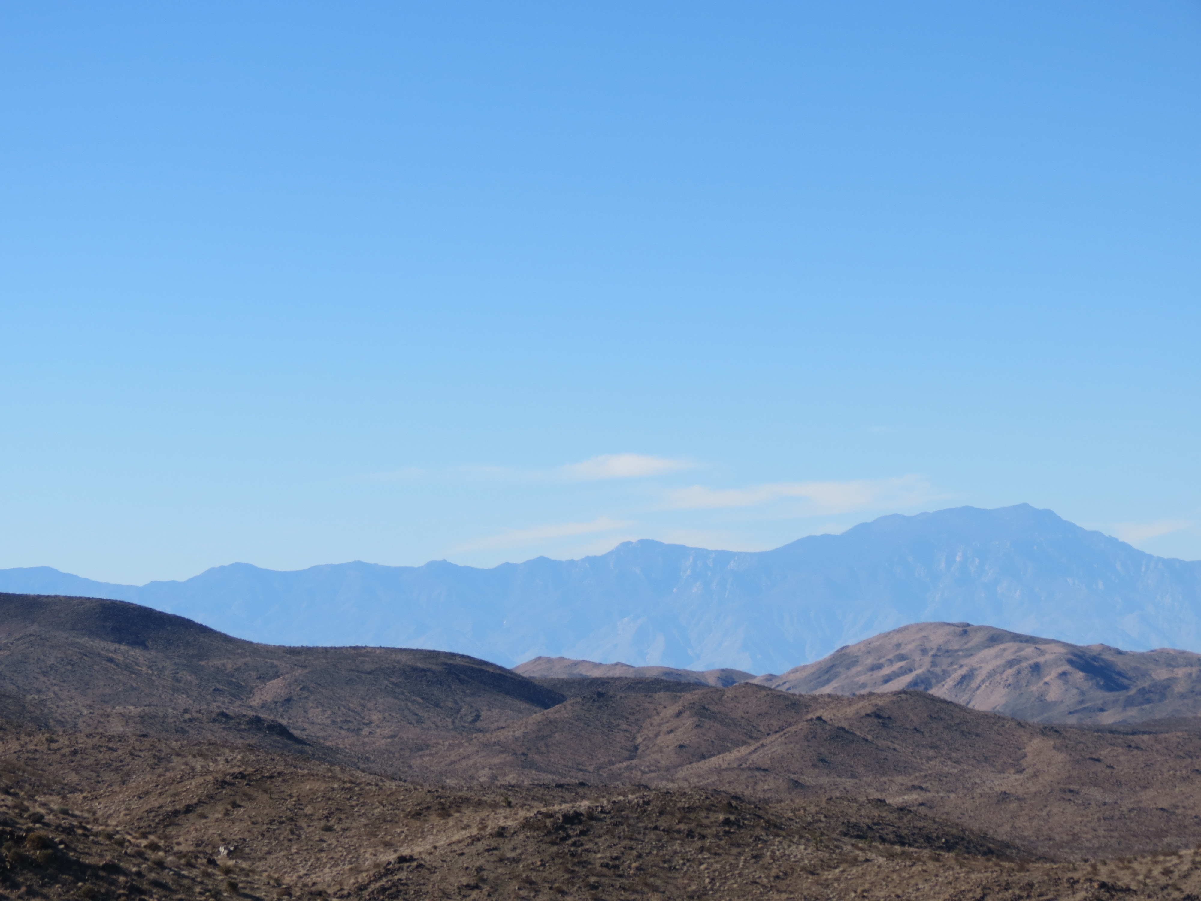
San Jacinto Mountain across Coachella Valley from midpoint up the Cottonwood Mountains. 12/8/2012.
Old pile of mountain lion scat near summit of Cottonwood Mountains, Monument Peak in the distance. Scat bleached from sun, years old. 12/8/2012.
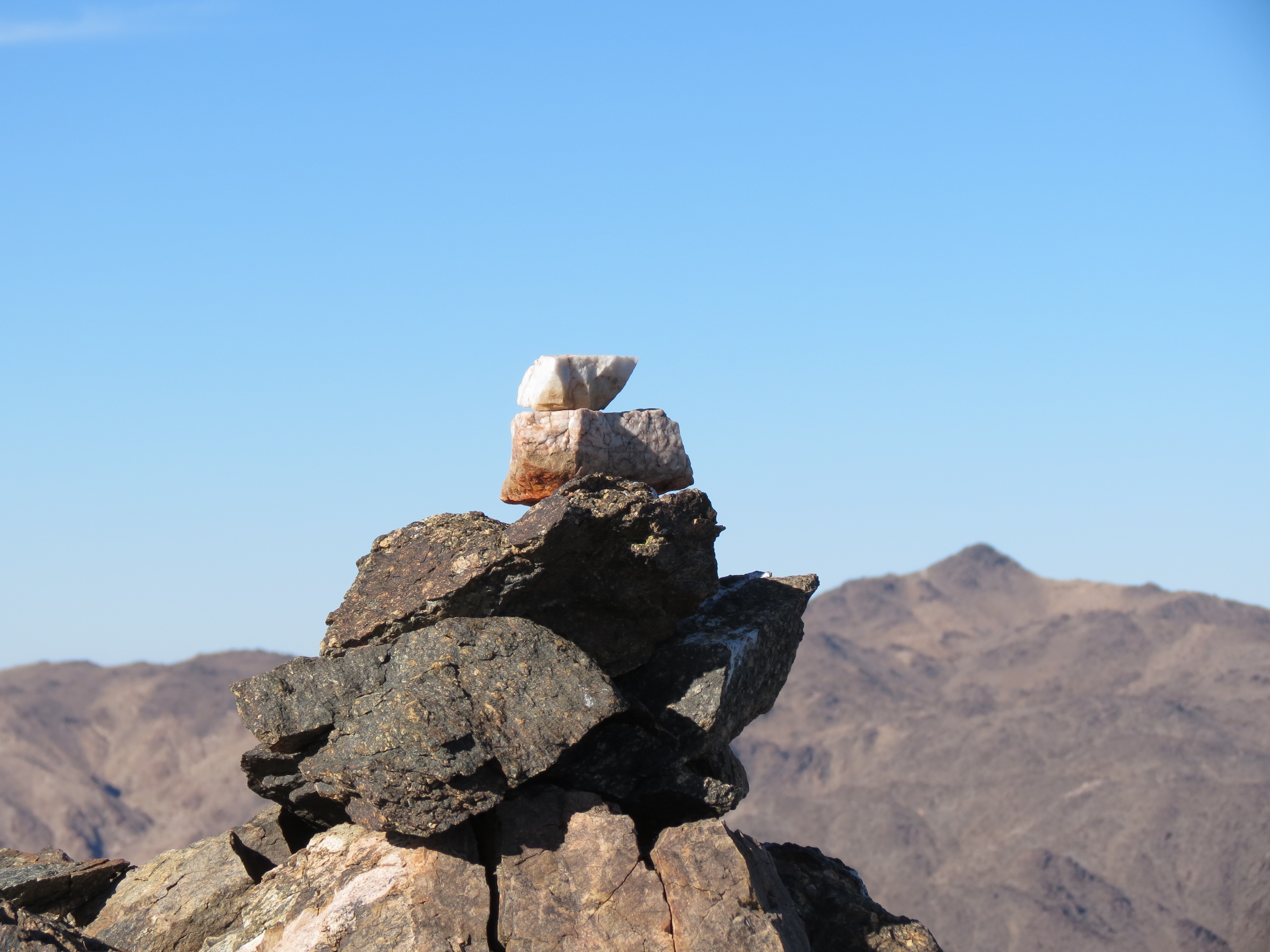
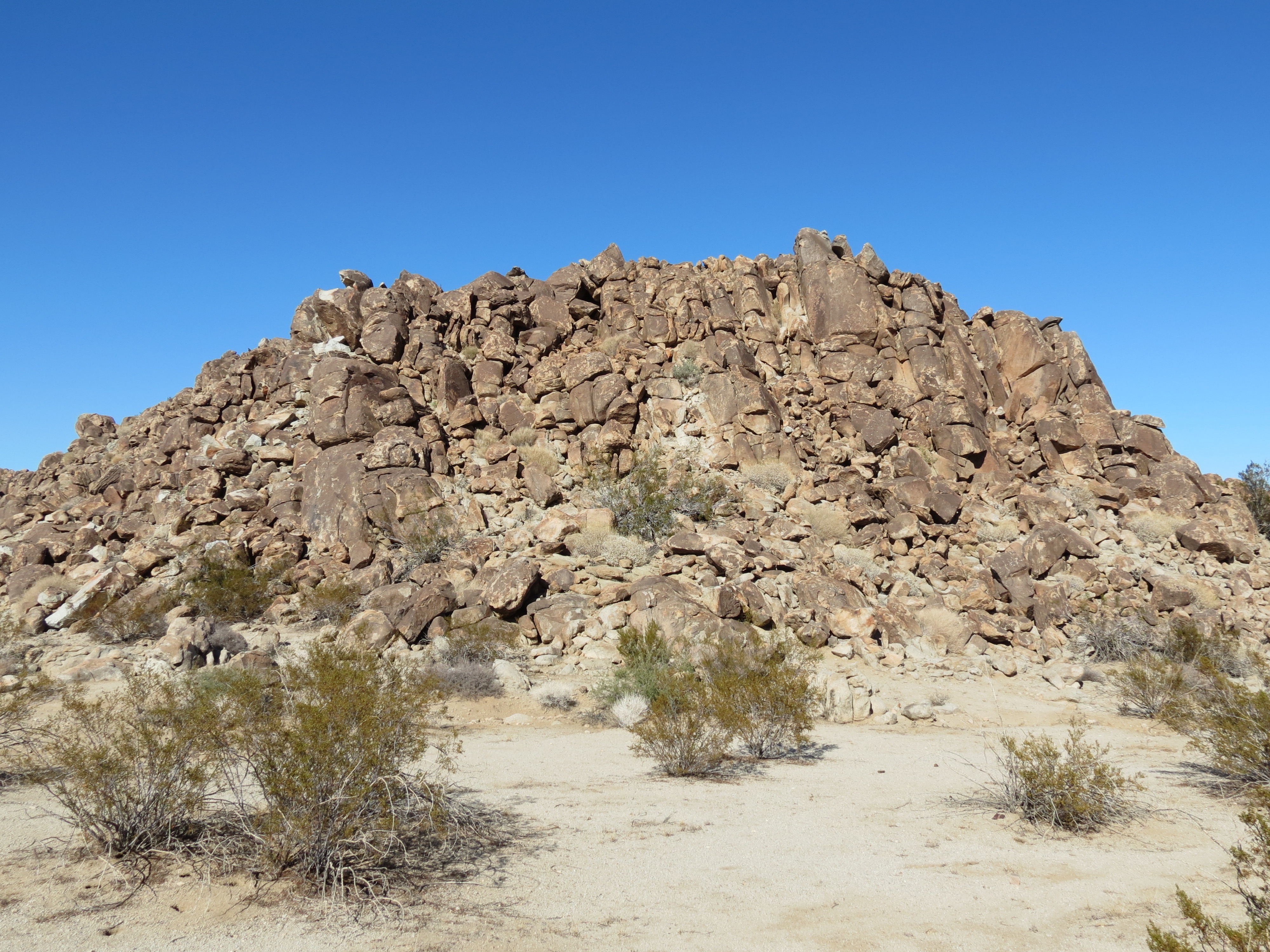
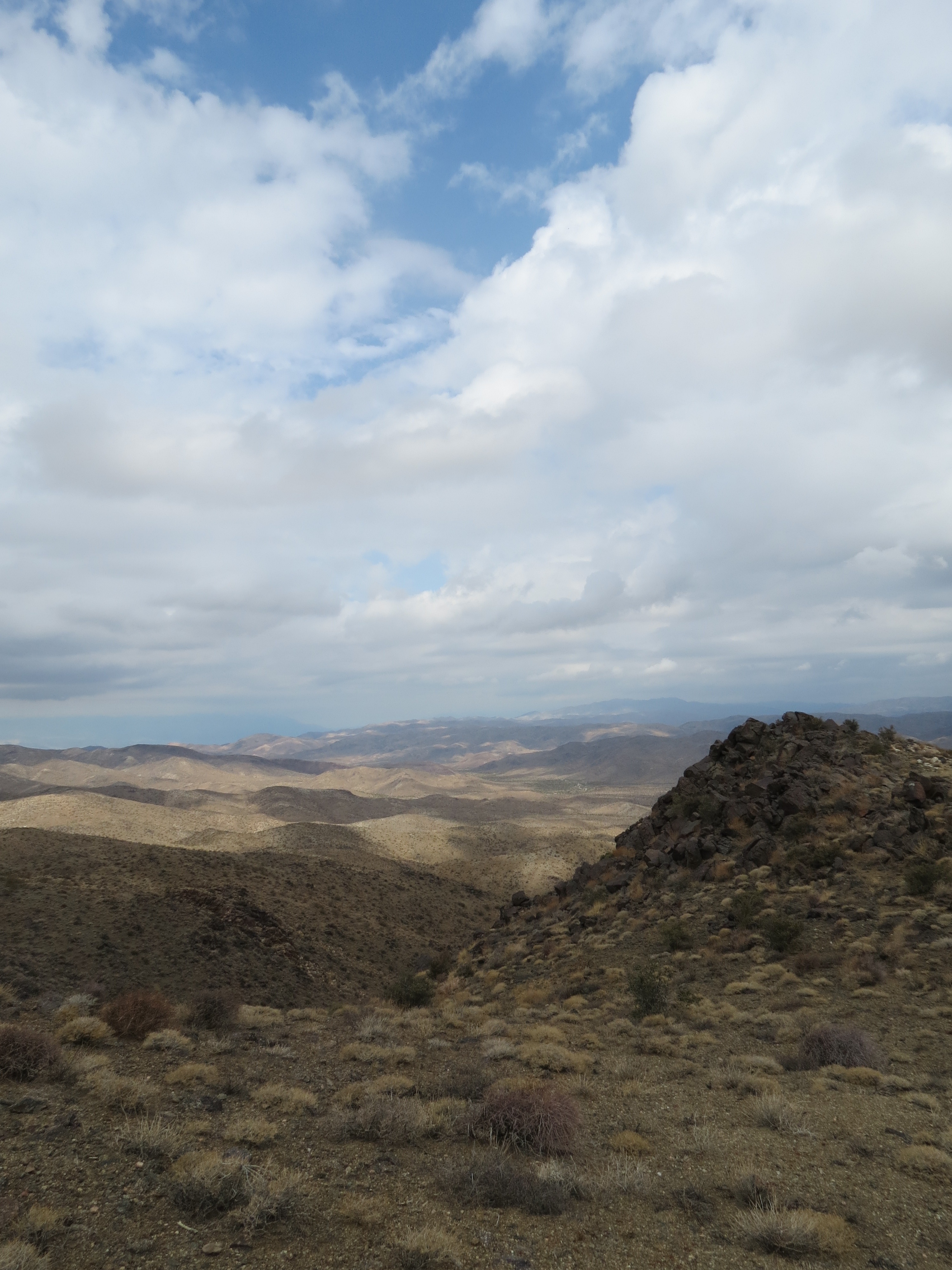
Cairn at summit of Cottonwood Mountains. 12/8/2012.
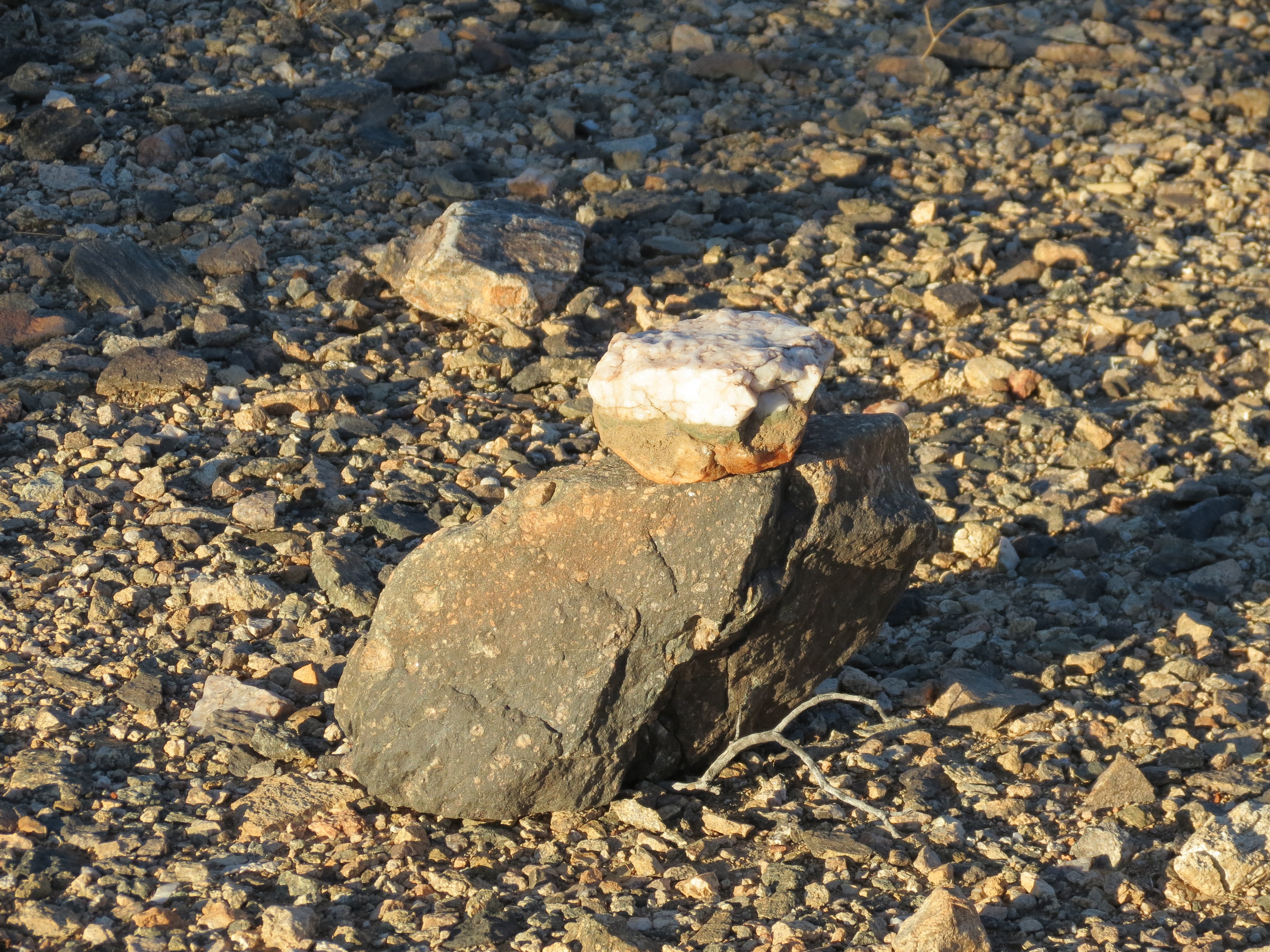
Cairn near mile marker 4 on Pinkham Canyon Road.
12/8/2012.

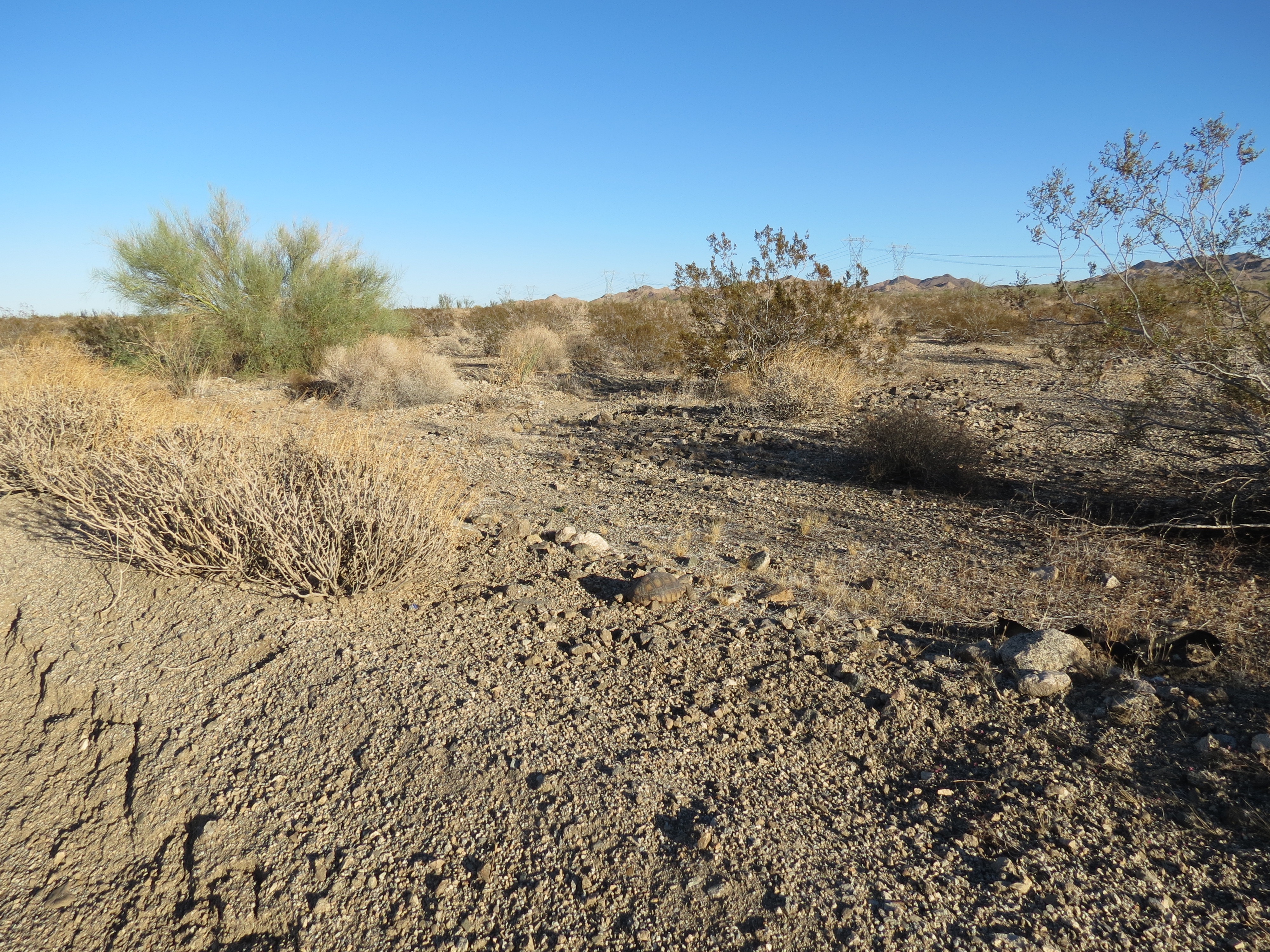
Animal grave site just off Pinkham Canyon Road a couple of miles in. At least the four-wheel drive passengers had the decency to bury the poor creature. It probably was a tortoise, as the jack rabbits ought to have no problem getting out of the way of a slow-moving 4WD vehicle. 12/23/2012.
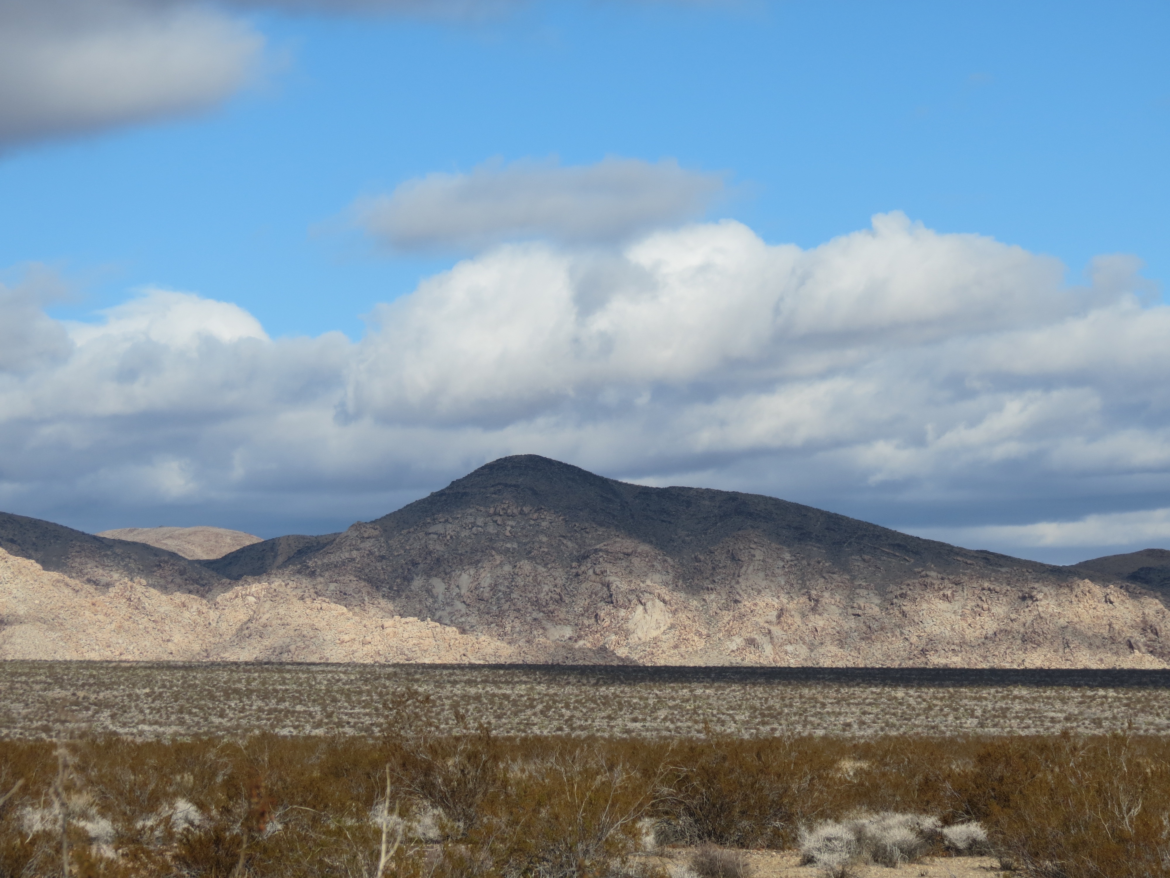
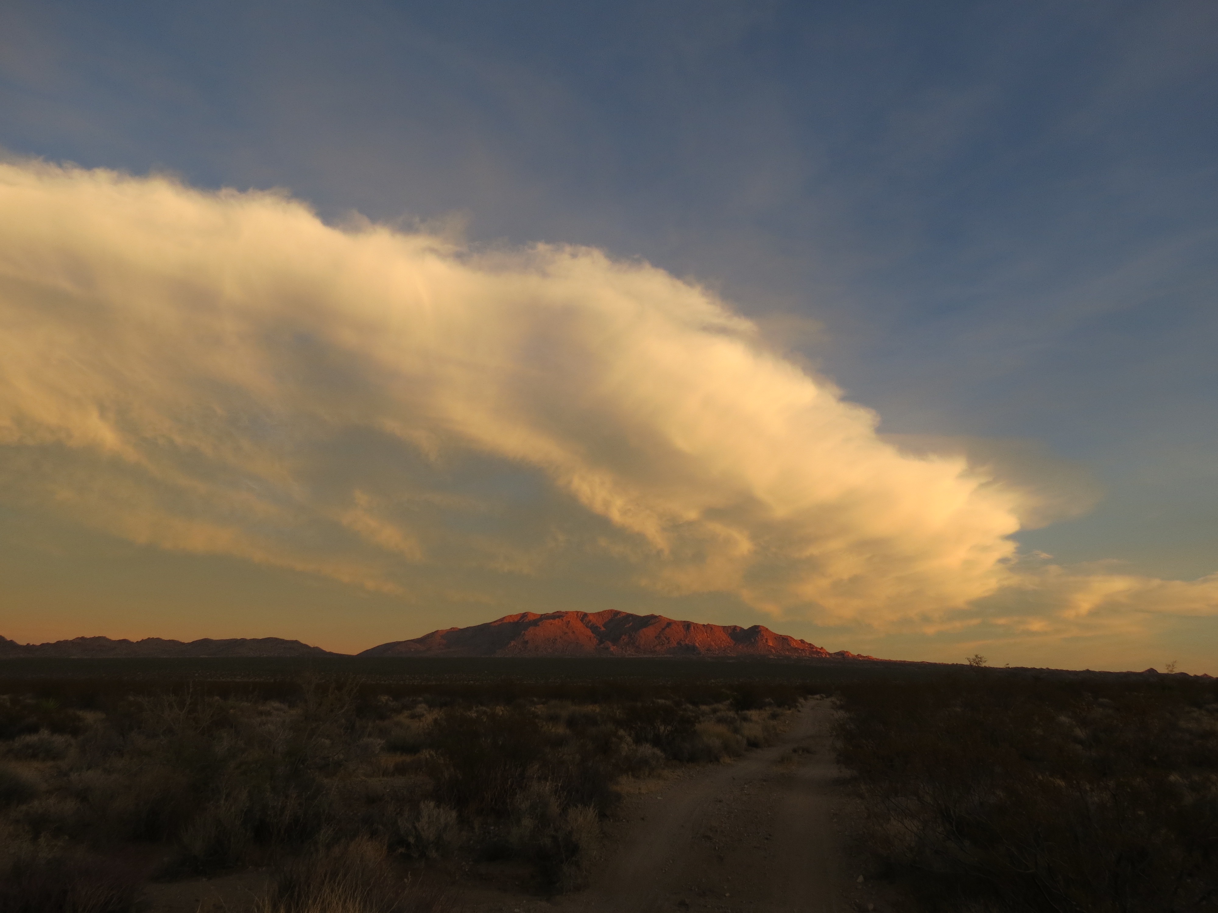
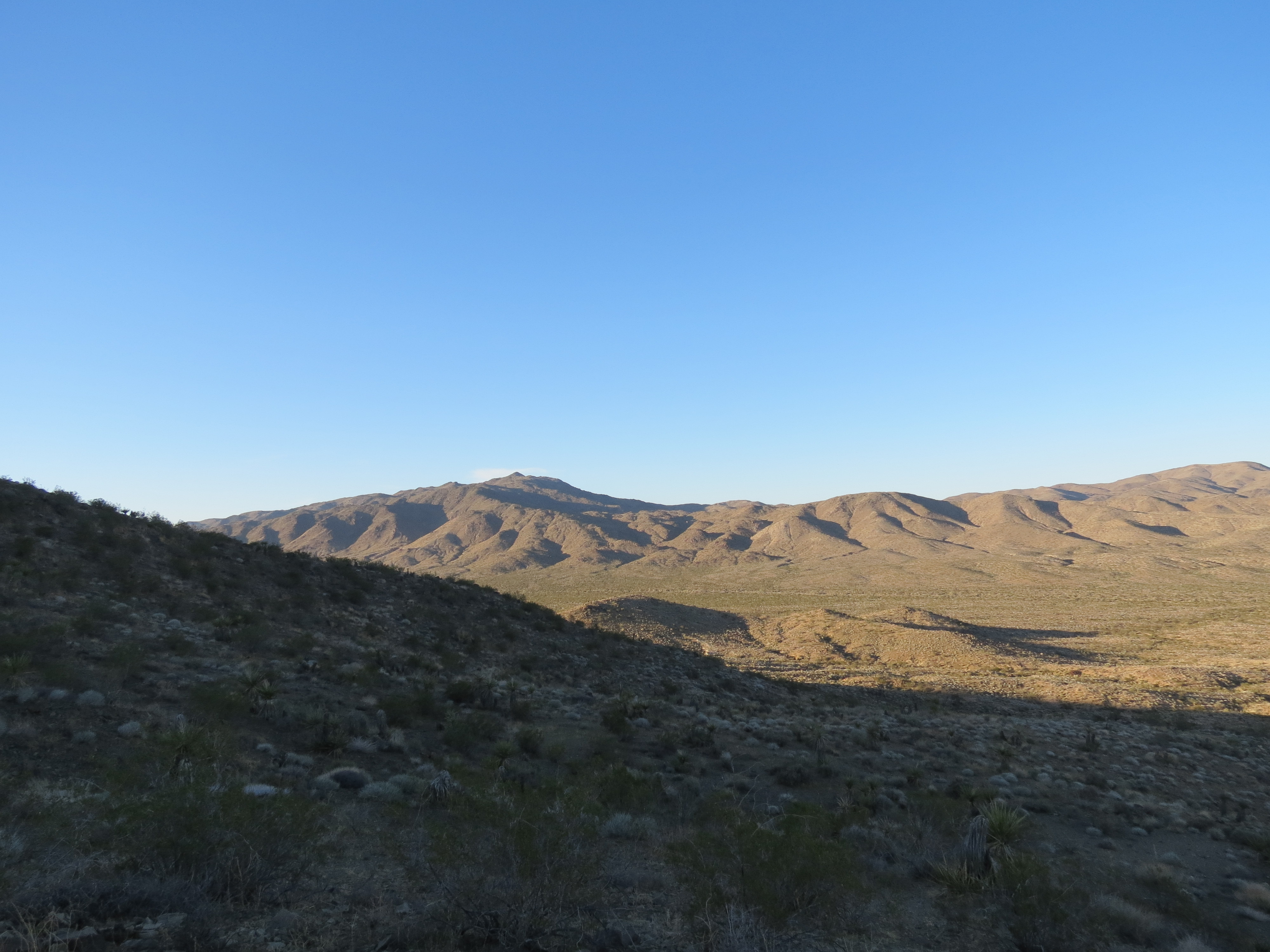
Eagle Mountain from Cottonwood Mountains, Joshua Tree National Park. 12/26/2012.
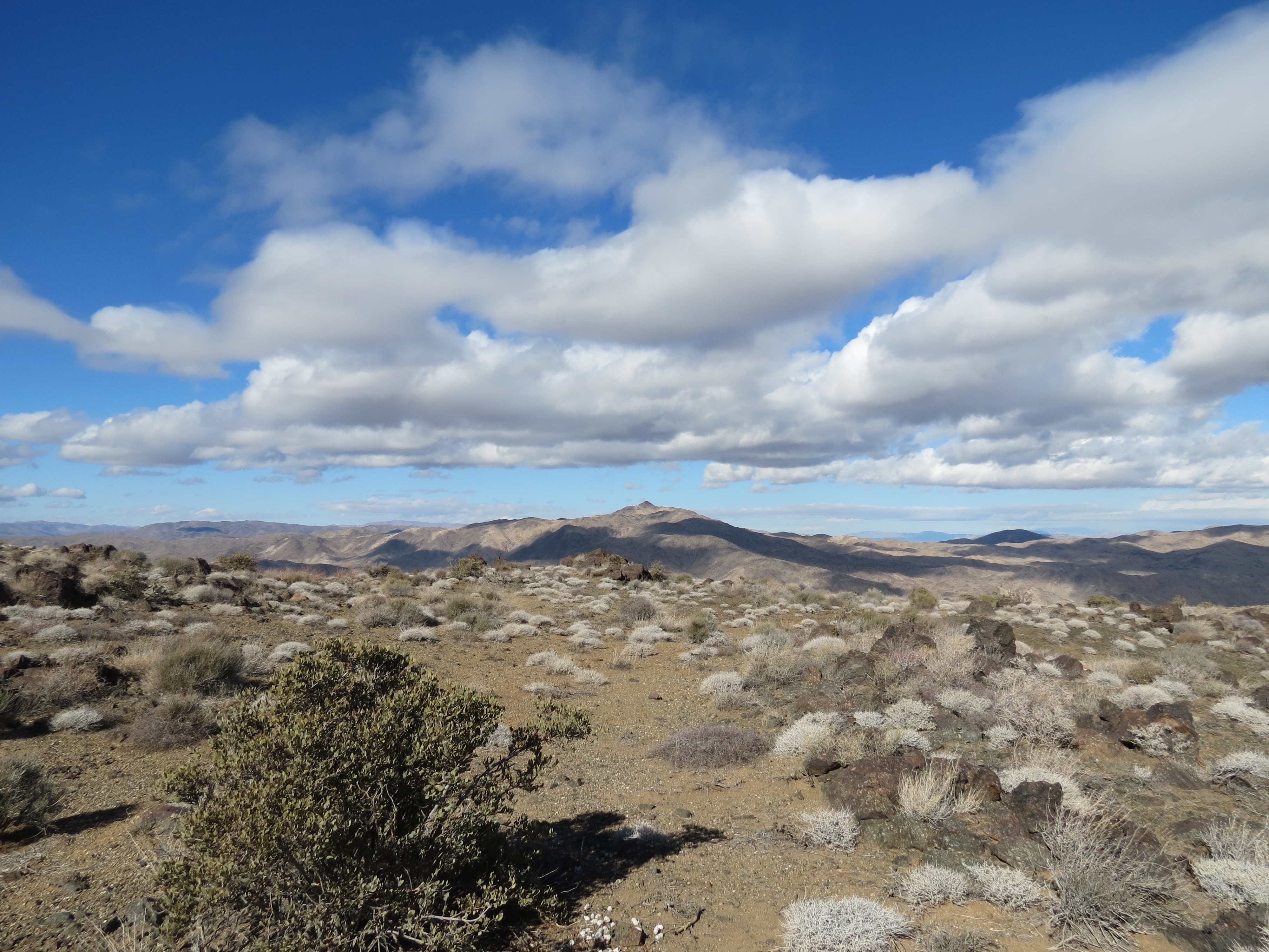
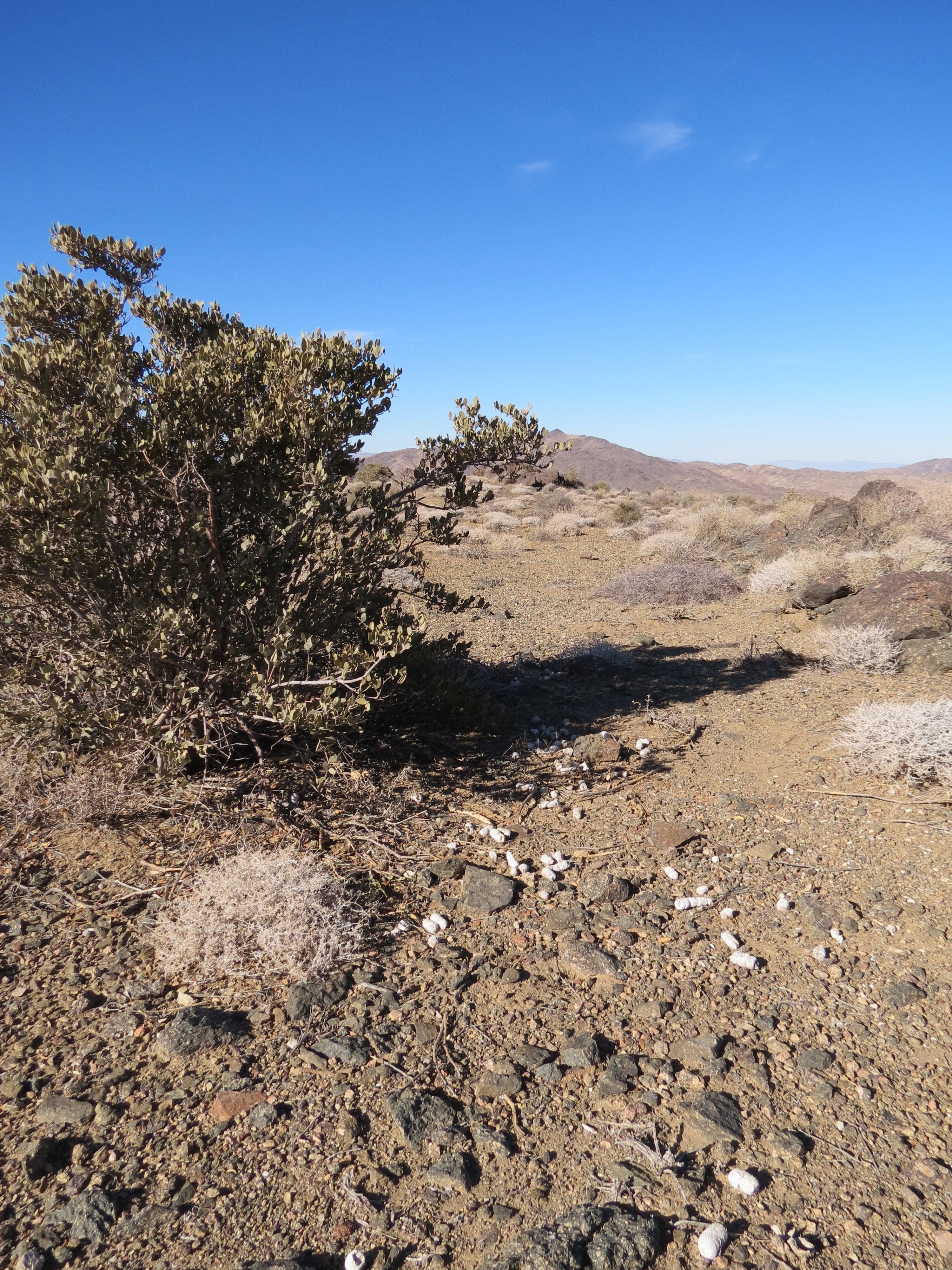
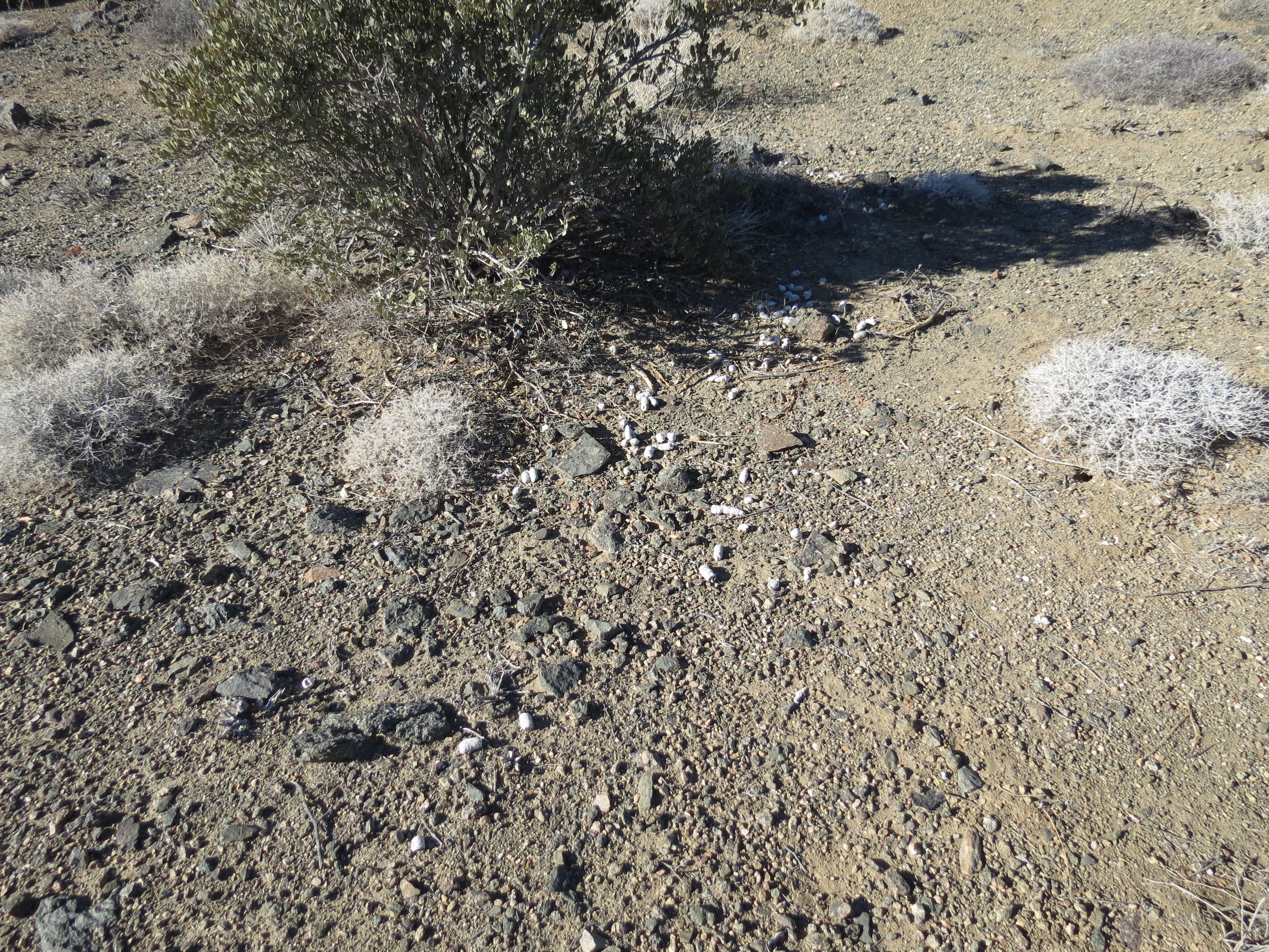
Monument Mountain from Cottonwood Mountains. Notice old mountain lion scat pile to right of bush. This was an important "spot" for the old cat. 12/26/2012.
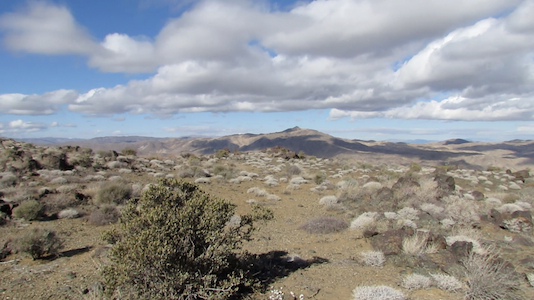
Click on image for a 79 second clip [316 MB .mov]. That's Monument Mountain in the middle. I am about 2/3 of the way to the Cottonwood Mountains summit, and just a couple of miles from Pinkham Canyon Road. The audio is just a bunch of noise from all the wind. I pan across to the right toward Eagle Mountain, and then zoom in on the old mountain lion scat pile to the right of the bush in front of me. Sadly for the cats, not any fresh dung on this ridge. 12/26/2012.
That's my cairn near mile marker four. 12/26/2012.
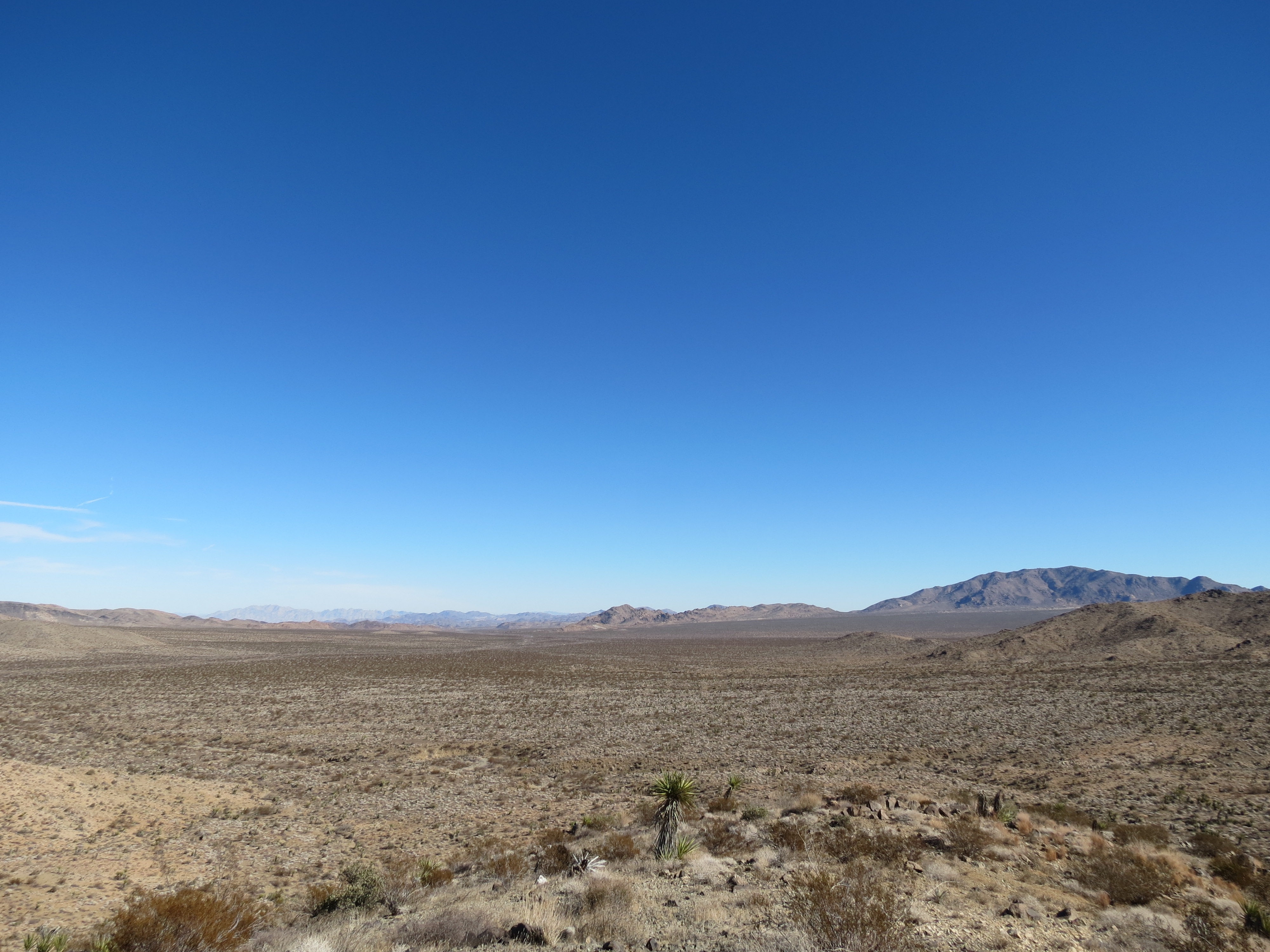
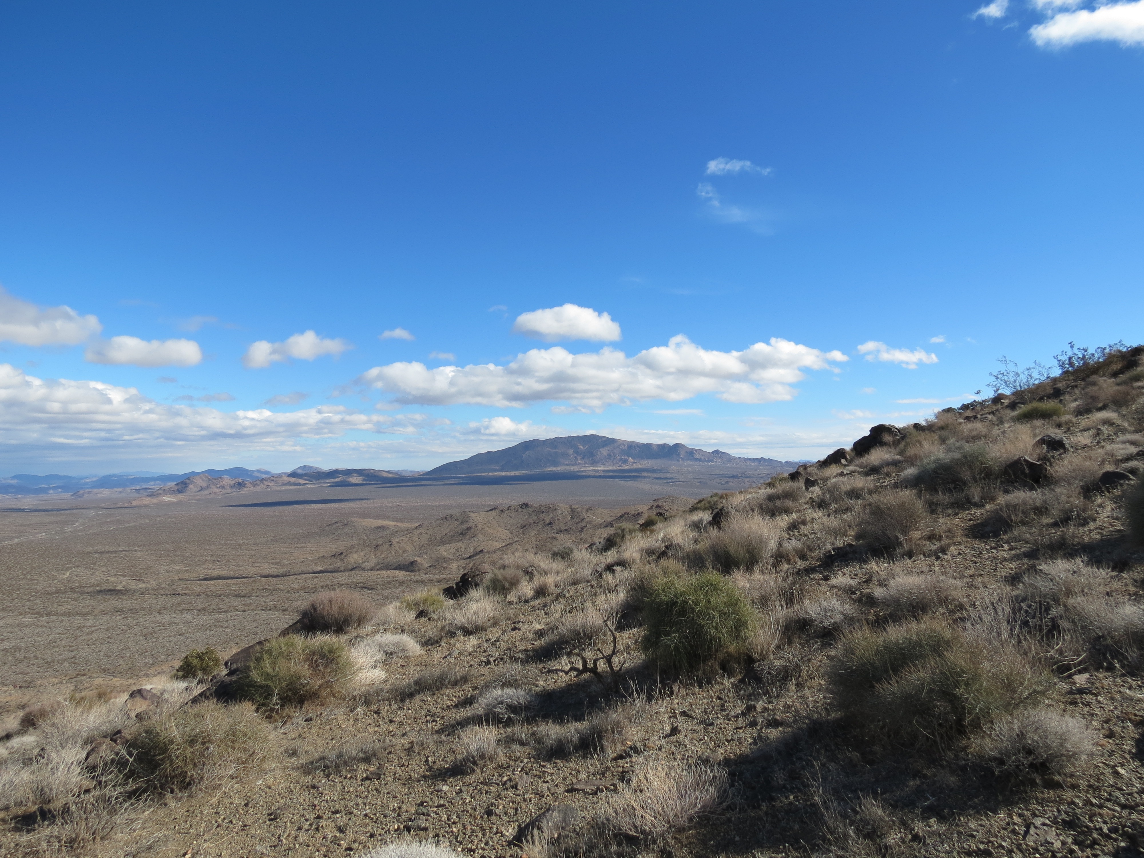
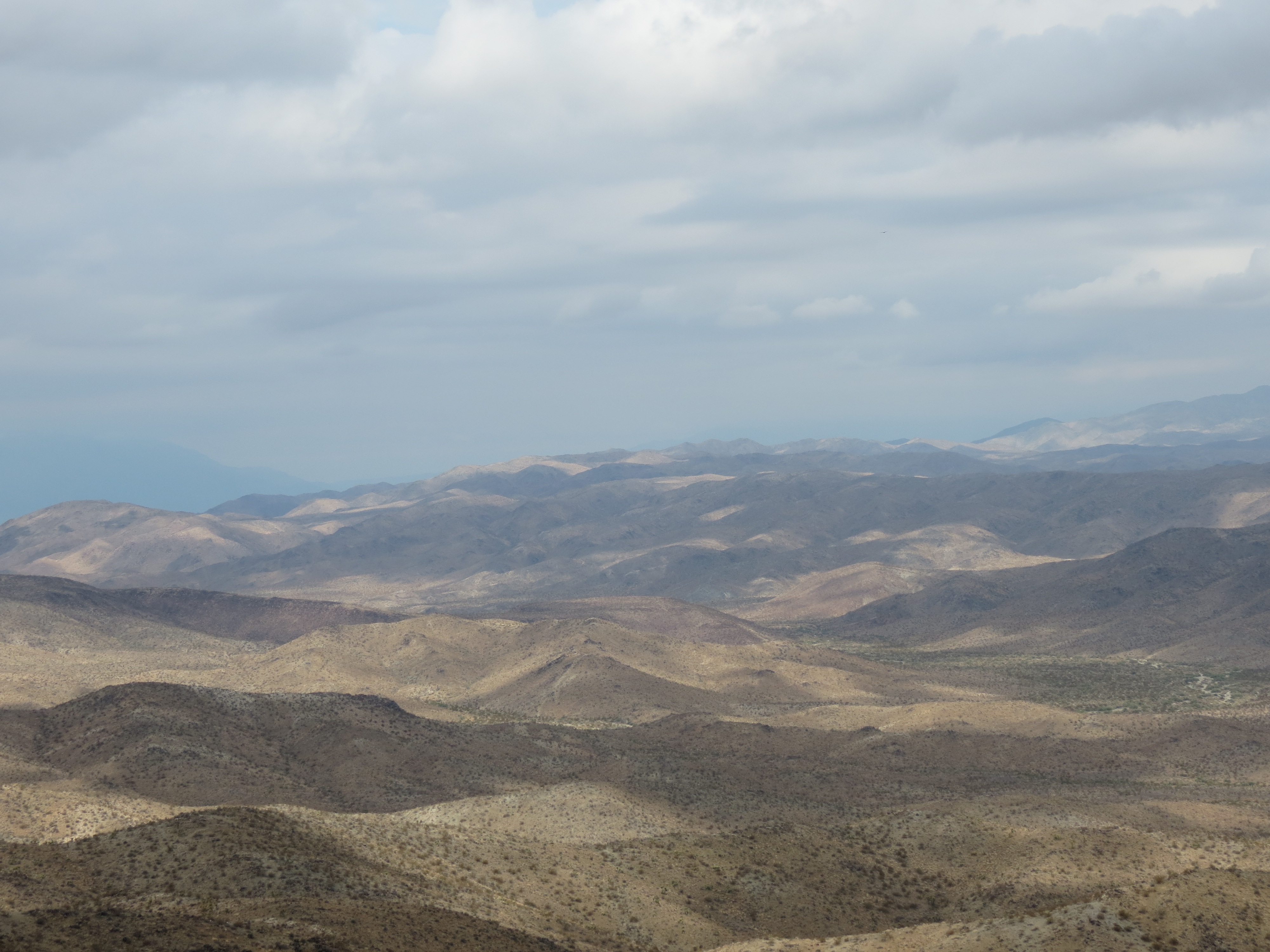
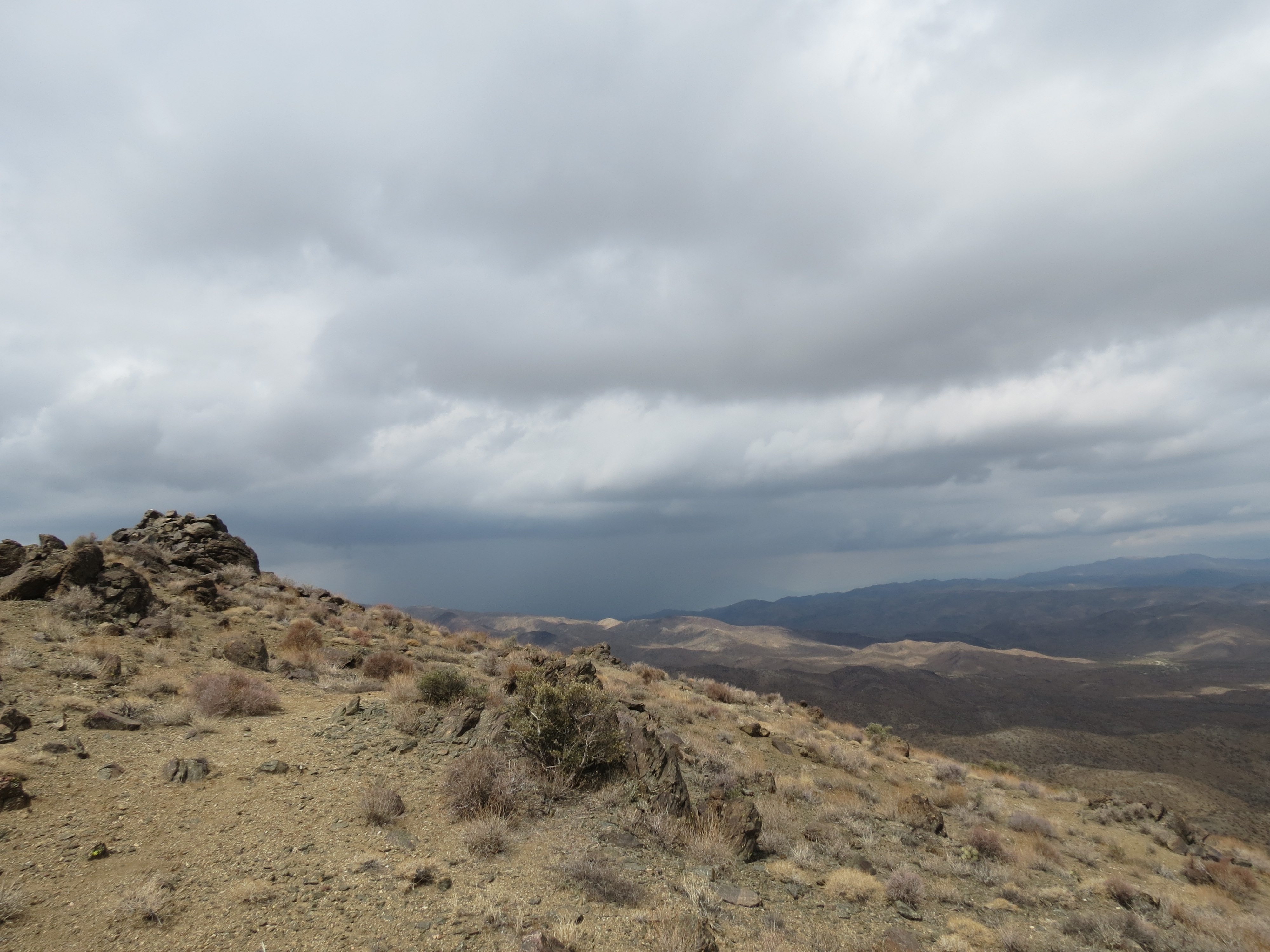
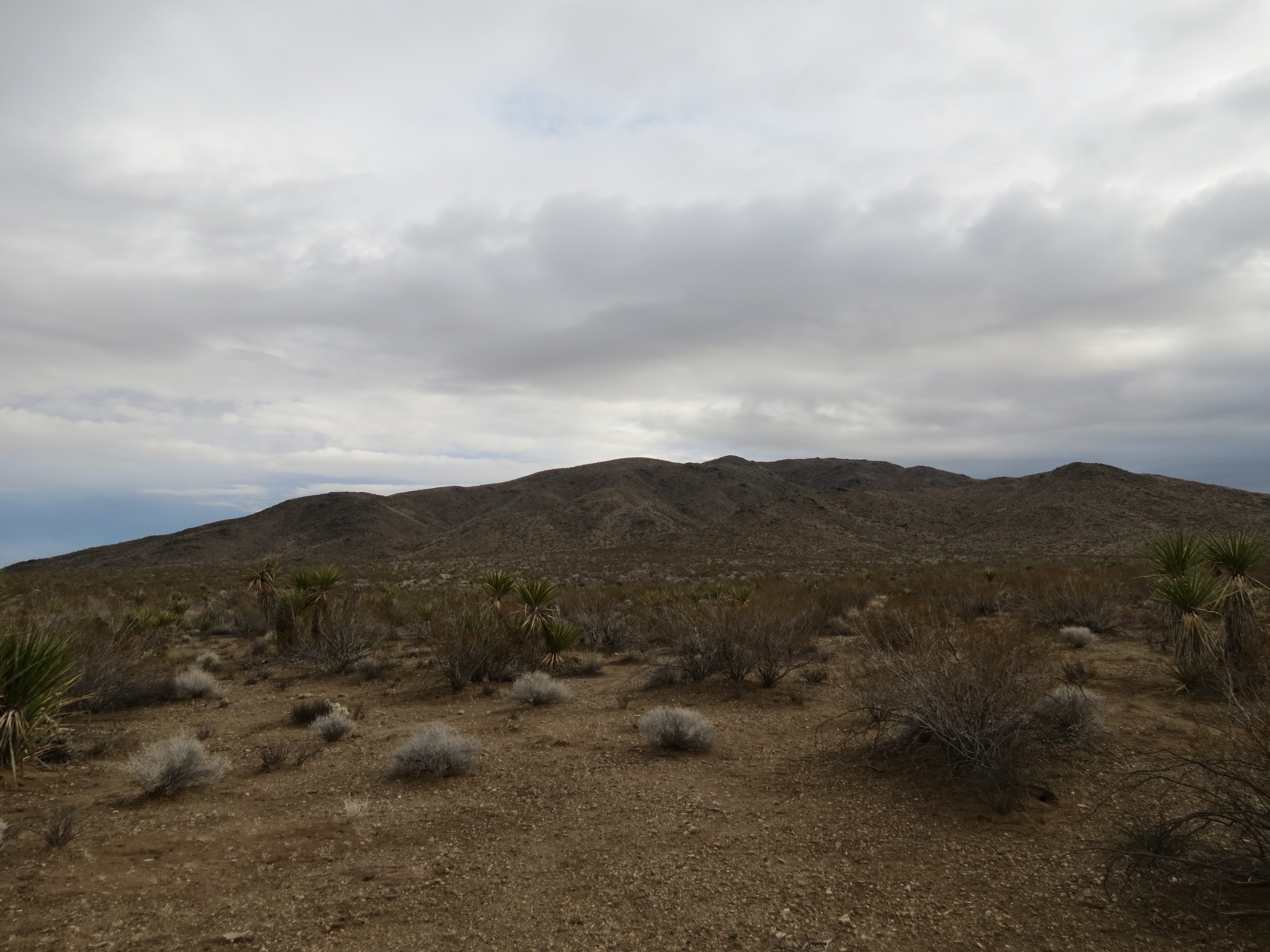
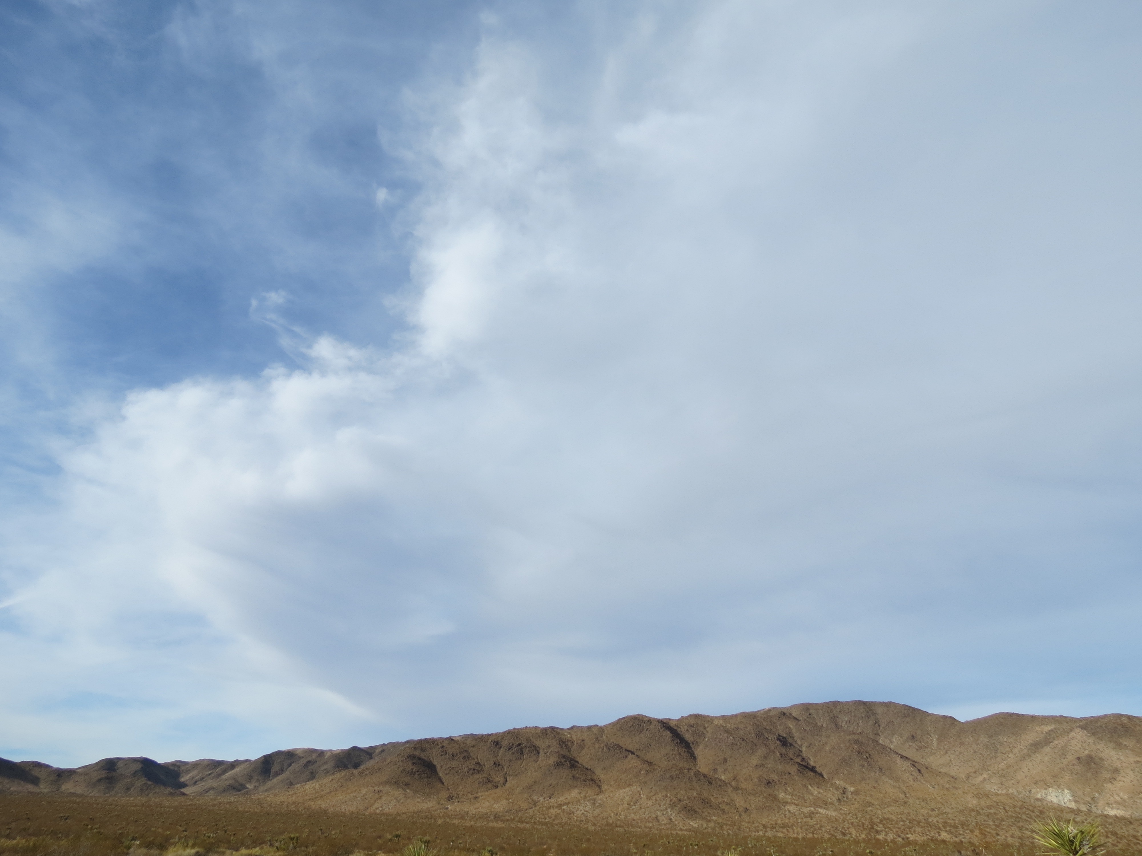
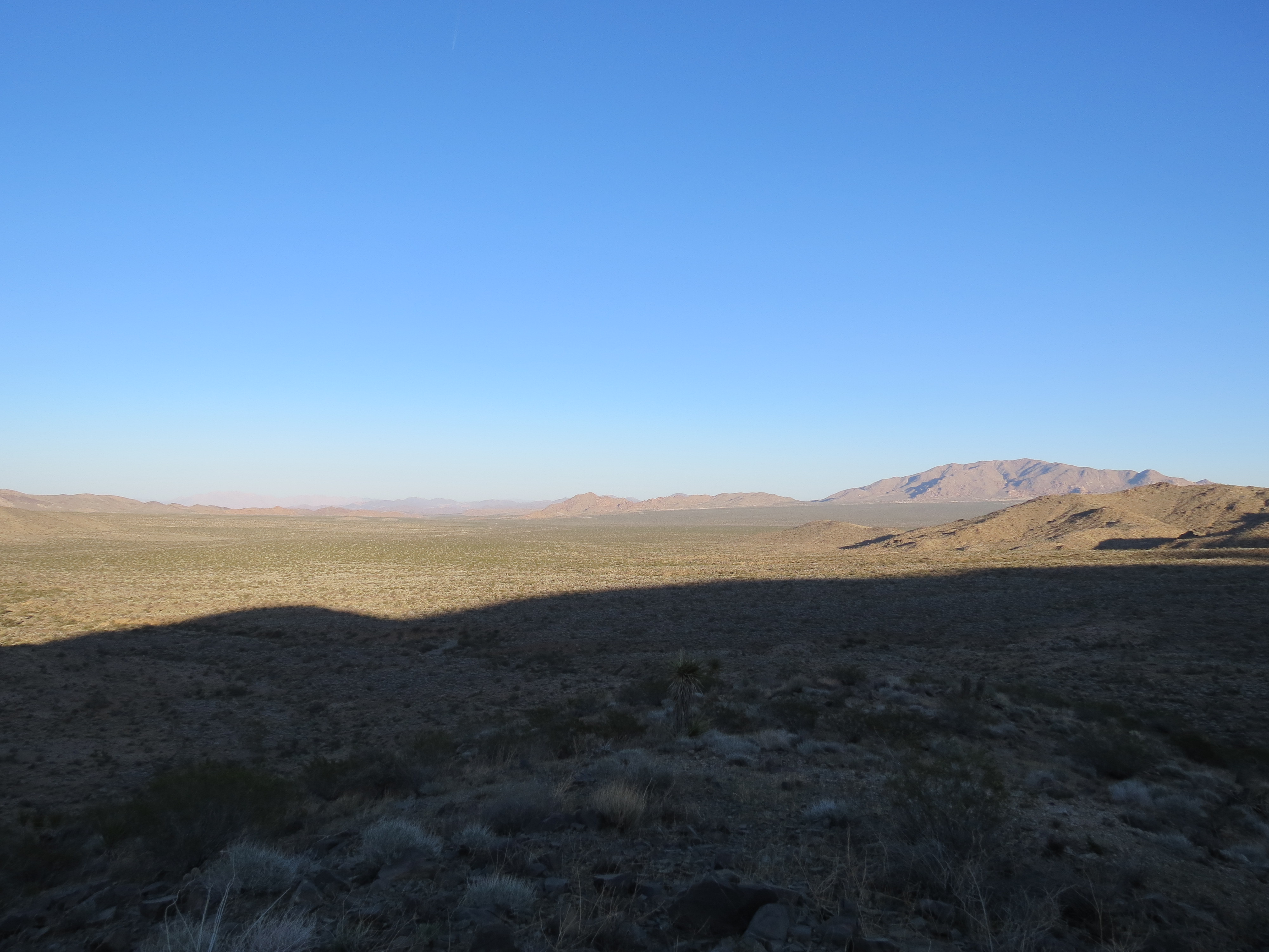
I am not sure if these are the Hexie Mountains, but whatever they are, they run parallel with the Cottonwood Mountains, on the northern side of Pinkham Canyon. There had been a lot of rain west of the San Jacintos, but these clouds were all we got in Joshua Tree. There was some rain, but not much. The storm front created a lot more wind than usual. 12/26/2012.
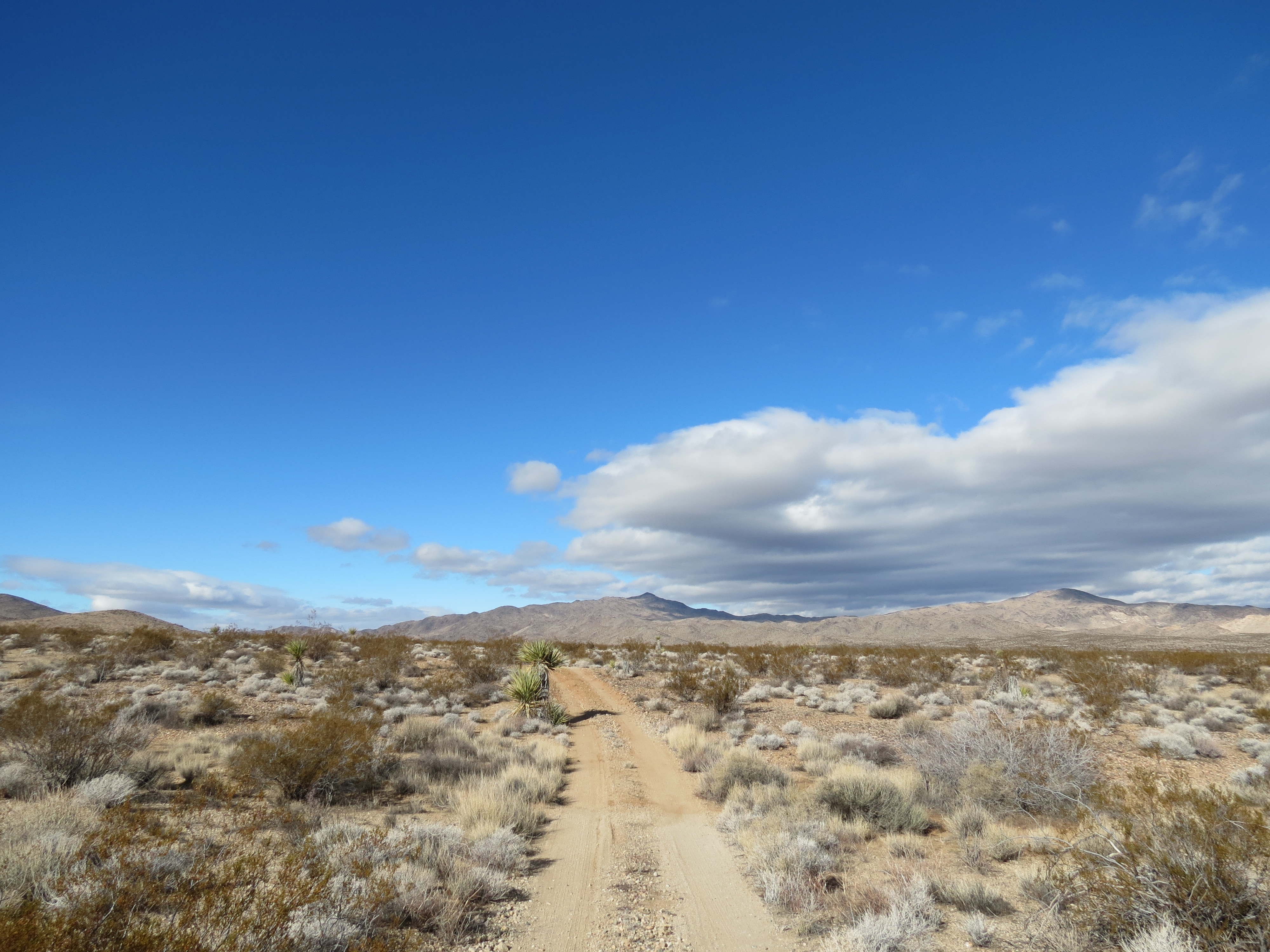
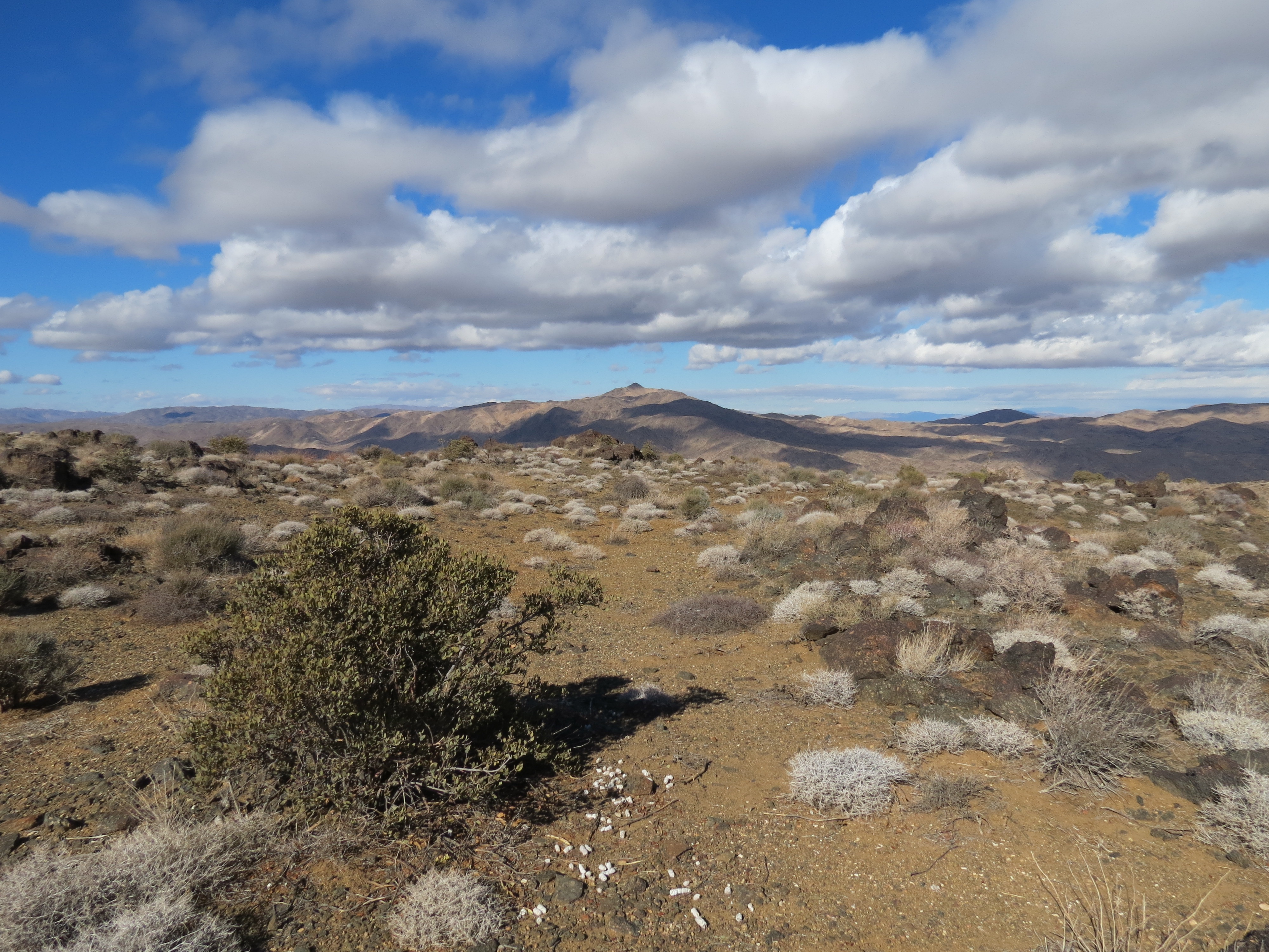
That's Monument Mountain in the distance. The picture is taken just a couple of miles into Pinkham Canyon Road. 12/26/2012.
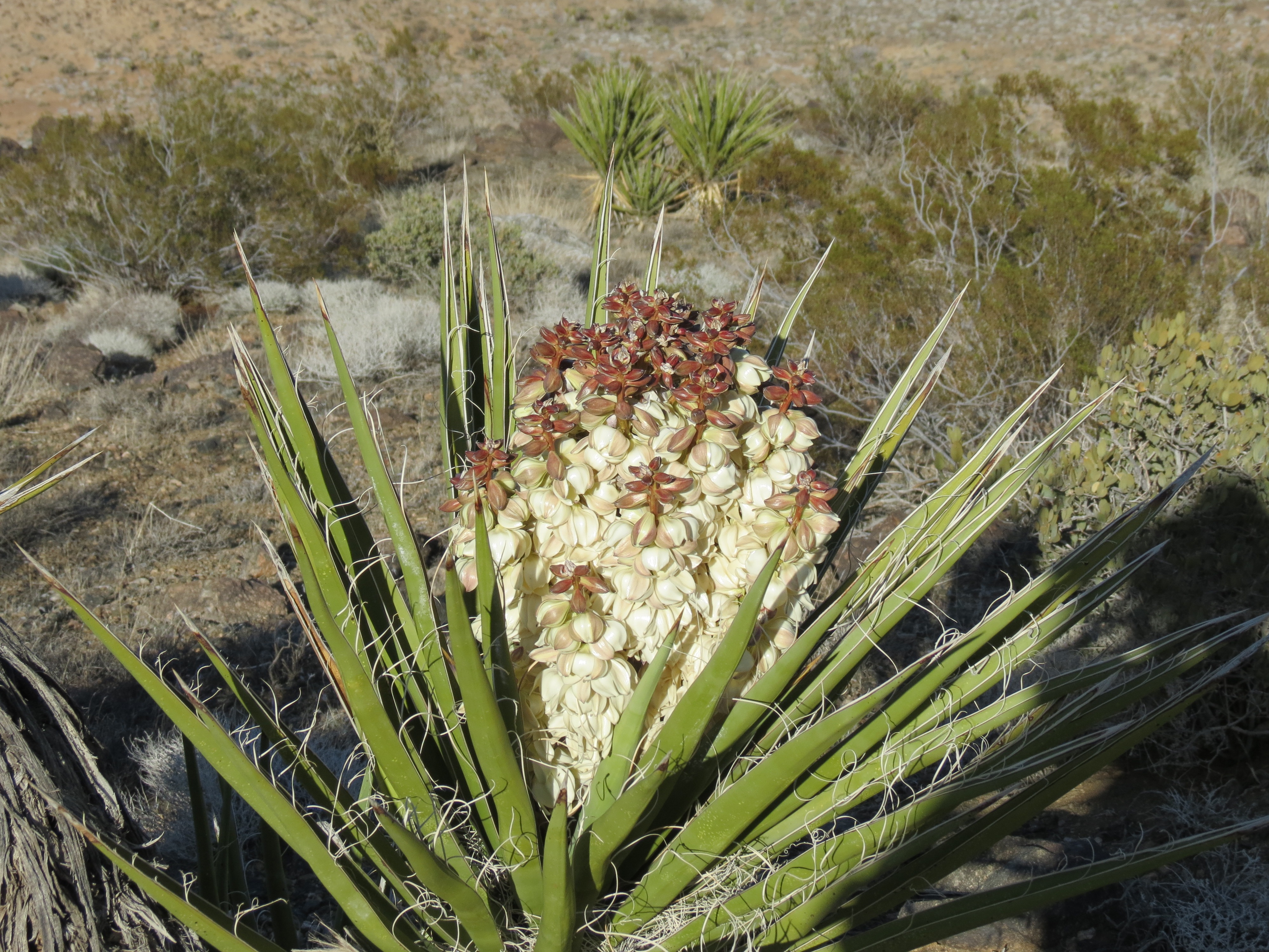
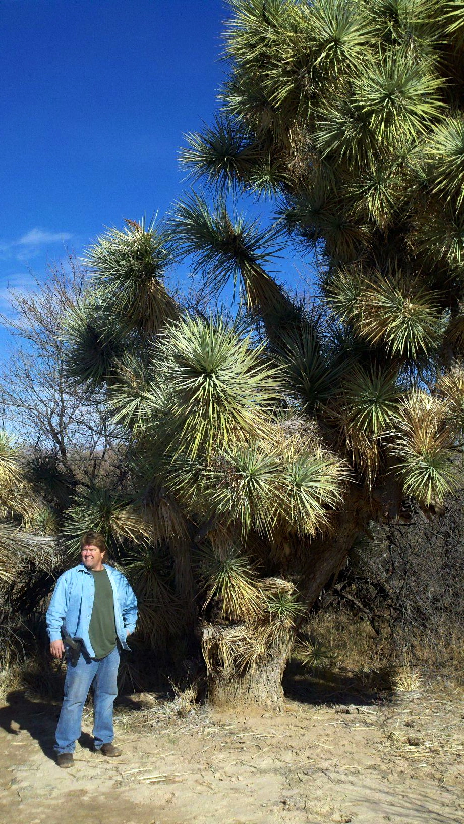
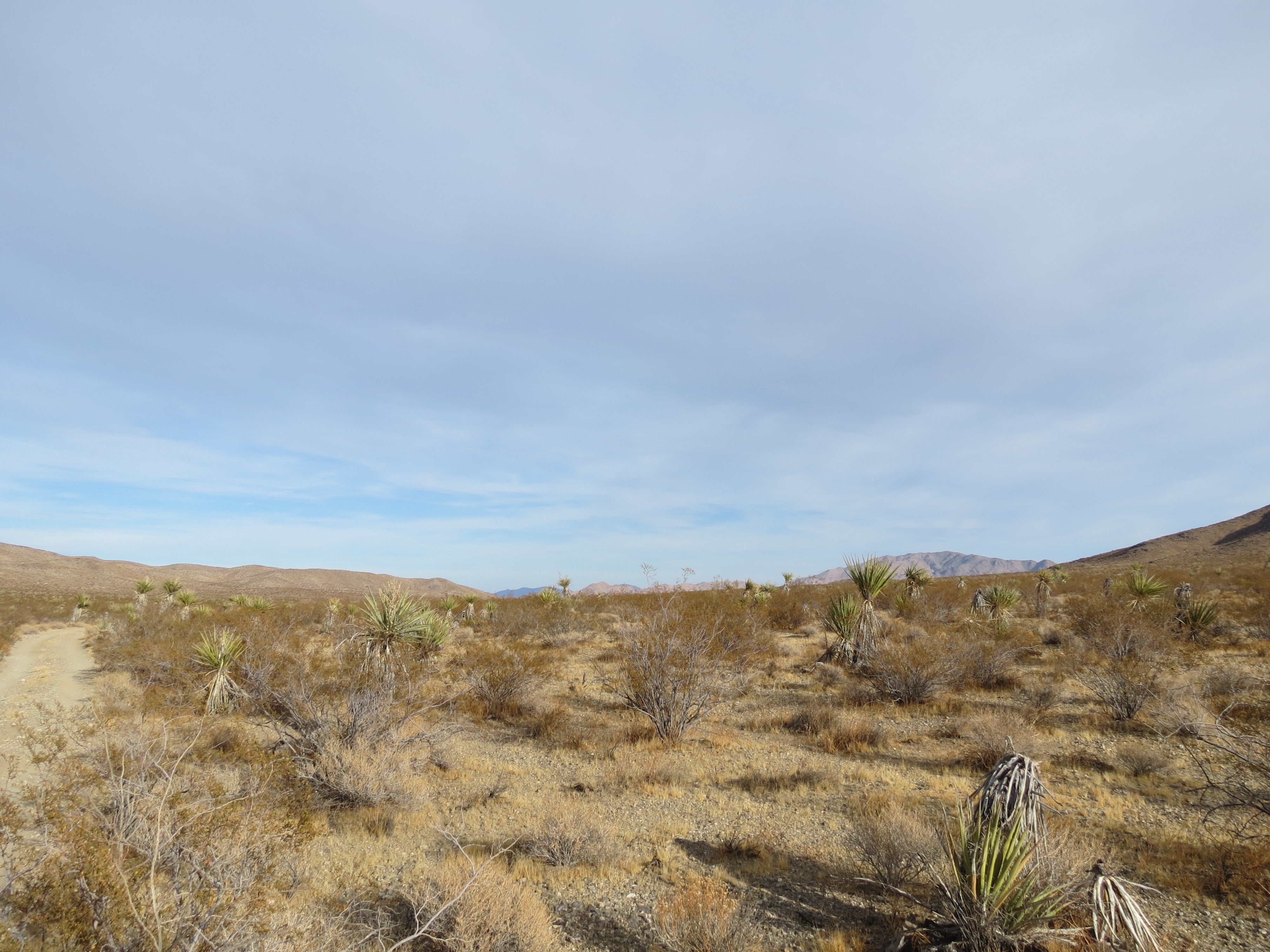
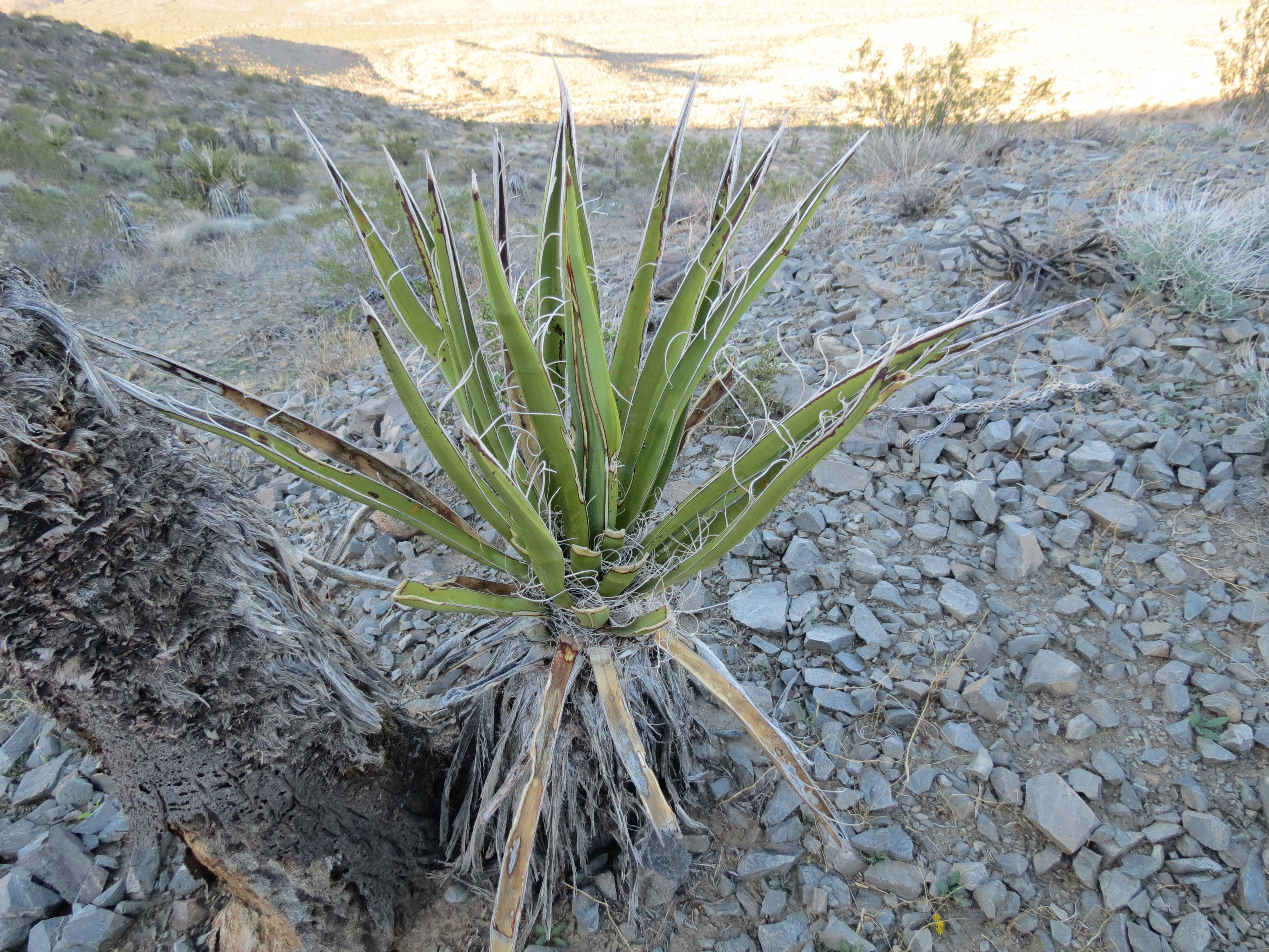
Yucca plant in blossom. 3/24/2013. There were a couple of bees in this one, although I've read that moths do some of the pollinating at night. Despite the drought and heavy metal contamination caused by the daily chemtrail activity of the dark force that has taken control of the US military, the desert plants are sending up numerous blossoms this spring. Here is the Wikipedia page on the genus yucca (pdf), included in which is this particular species of yucca, as well as the Joshua Trees for which this park is named.
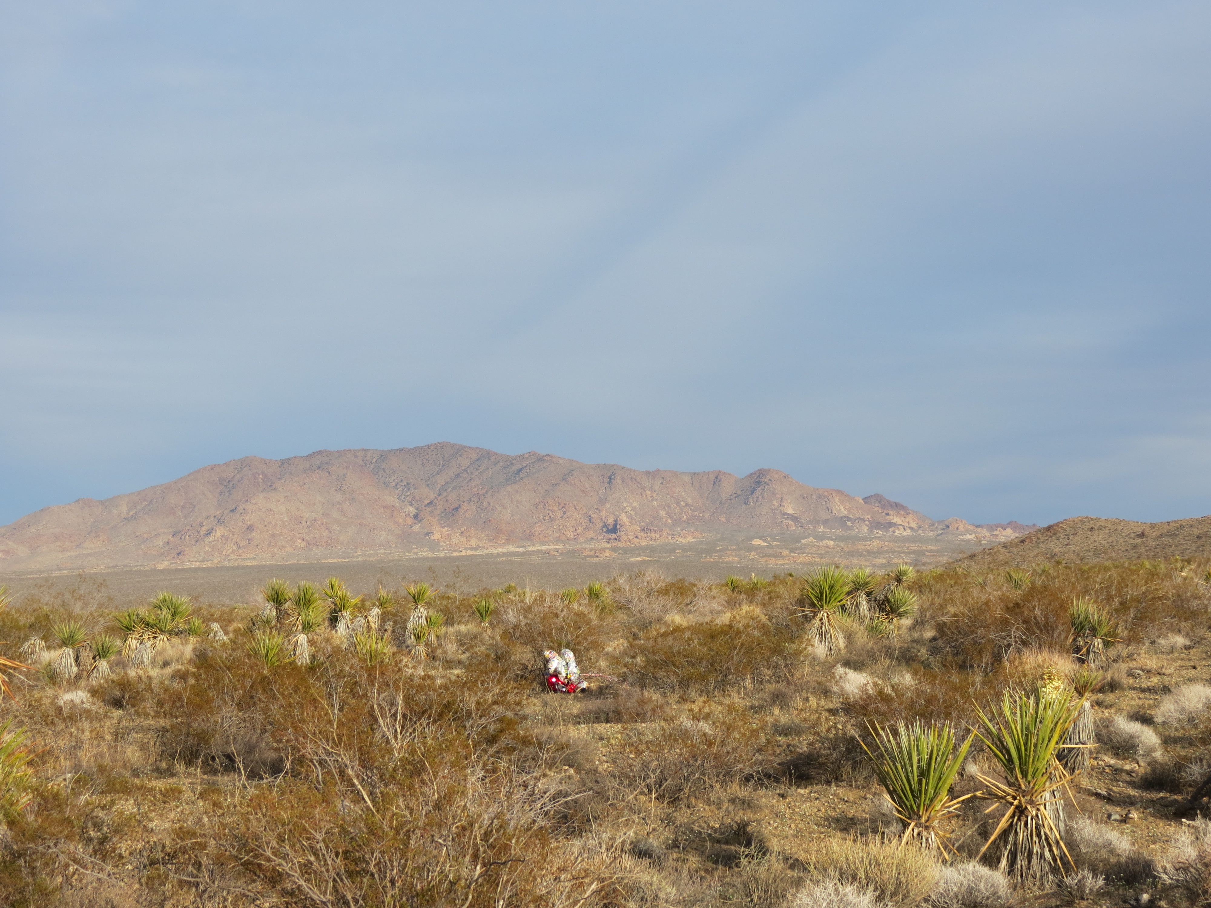
Mylar happy birthday ballons with Eagle Mountain in the background, Joshua Tree National Park. 3/29/2013.
Another pic of the balloons with an emphasis on the chemtrails overhead. Nice way to celebrate happy birthday, poisoning the populace with aluminum dioxide and other heavy metals. Not a single natural cloud in the sky today. I felt weak the next day. Lord knows what we're breathing. :( 3/29/2013.
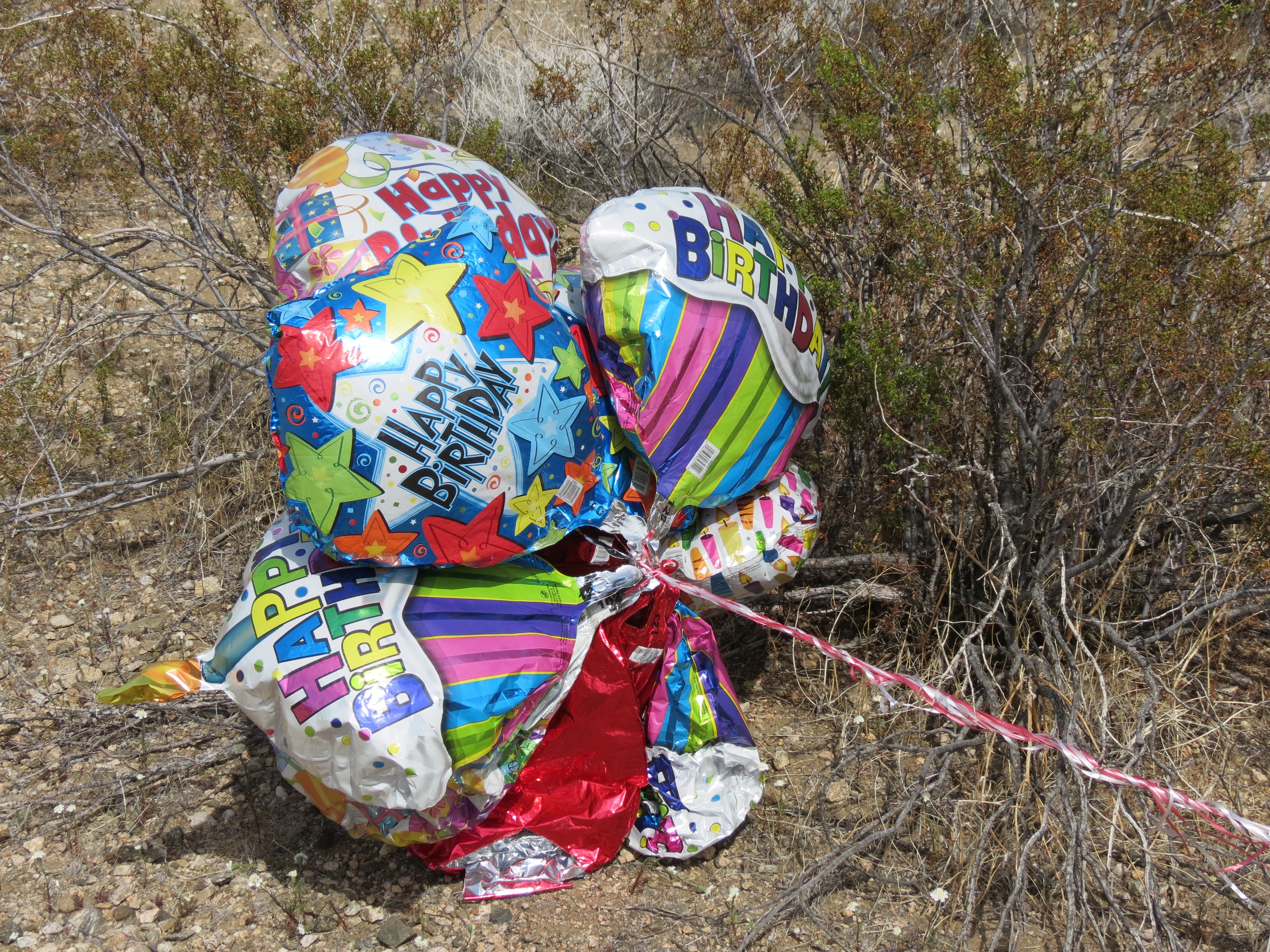
A closeup of the mylar happy birthday balloons that I found deep inside Pinkham Canyon, more than ten miles away from the nearest place for a party of this type. . I find numerous such balloons in remote, mountainous areas where the balloons must ascend at least 5000-6000 feet and travel dozens of miles on a steady wind. Apparently mylar balloons can damage the high tension power that crisscross this country. Should we ban the balloons? Or should we decentralize the power grid so that we don't rely on the millions of wasteful, ugly 150' high metal structures that suspend the electrical lines? Solar panels on all residential roofs, and a small powerstation in each community should do the trick. Click here for a movie of the above. 3/29/2013.
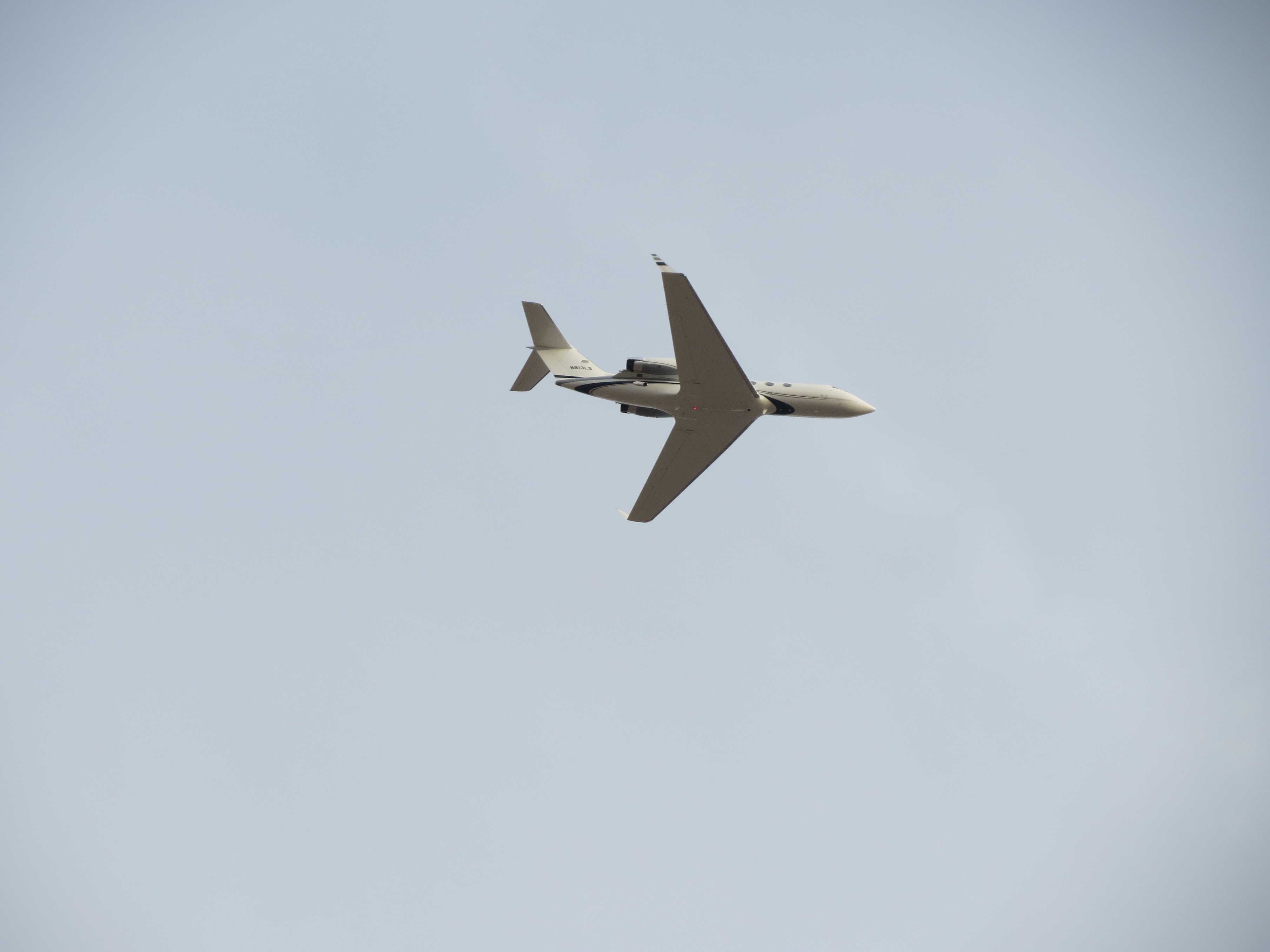
Private jet over Pinkham Canyon in Joshua Tree National Park, perhaps just a few thousand feet above me, en route to the Jaqueline Cochran Regional Airport in Thermal, California. 3/29/2013. I could almost see the faces peering out through the cabin windows. This was around the time of some big equestrian events as well as the Coachella Music Festival. Some big money lives out here, too. Though 15 miles from the airport, the plane couldn't have been more than 8000 feet high, or just 5000 feet higher than me. I figure the pilot was giving the passengers a special closeup look at the park. You can see the plane's license on the tailwing.
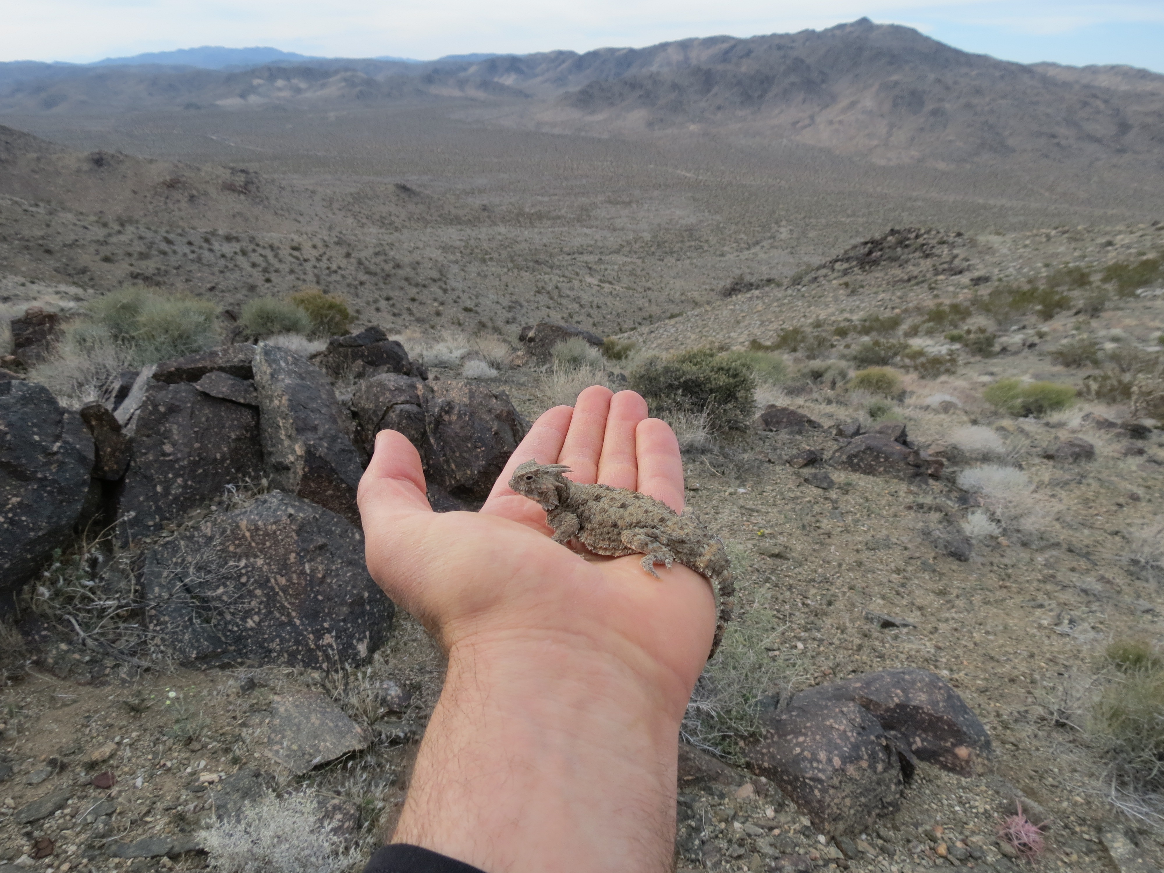
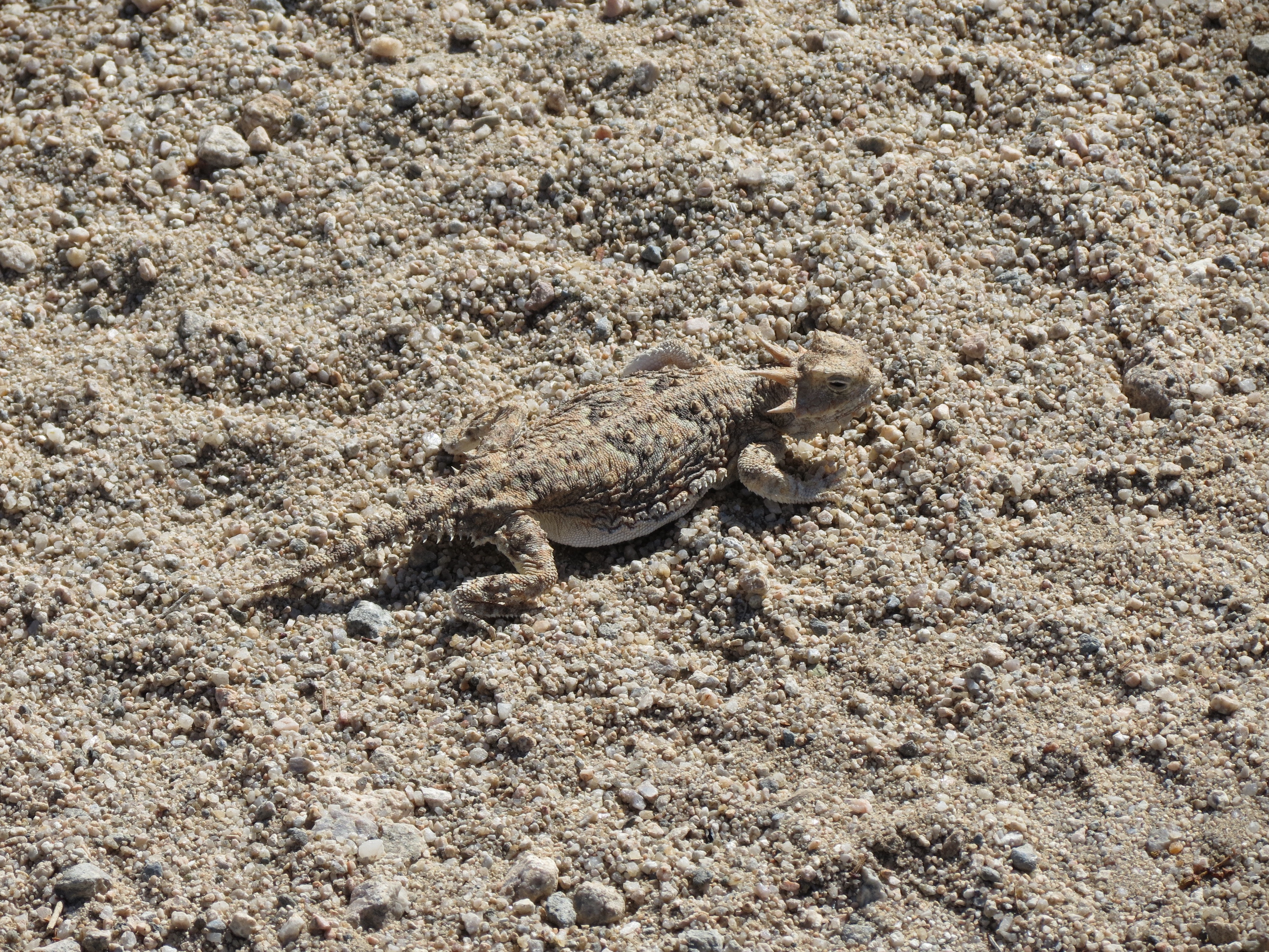
Looking across to Monument Mountain with a horned lizard (aka "Horny Toad") in my hand. 3/29/2013. What I like about these interesting creatures is that they just sit wherever they are, relying on their camouflage to evade predators. When approached, they typically don't run; and once they are in your hand, they relax on your hand until you put them back down again. In other words, they make good photo subjects because they don't move. Also, they are rather cool looking in a primeval way. Here's the Wikipedia page for Horned Lizard (pdf).
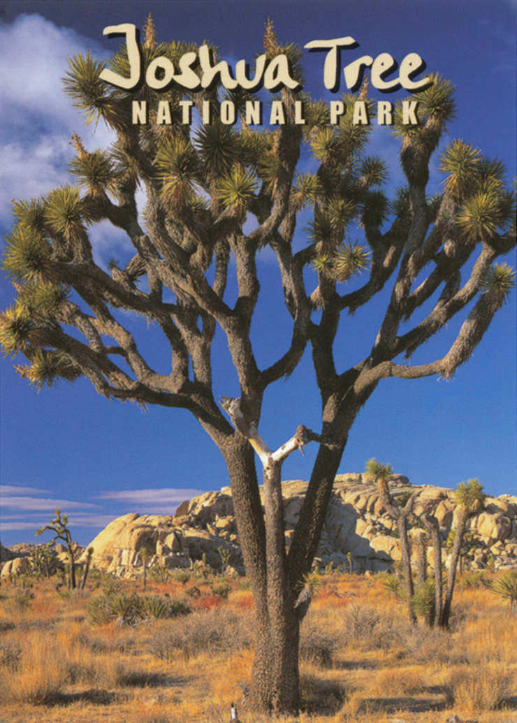
Pic taken from the Wikipedia page on yuccas, a large Joshua Tree at the Grapevine Springs Ranch in Arizona, USA.

Two different scans of a deck of cards purchased at the Cottonwood Springs Park Headquarters.
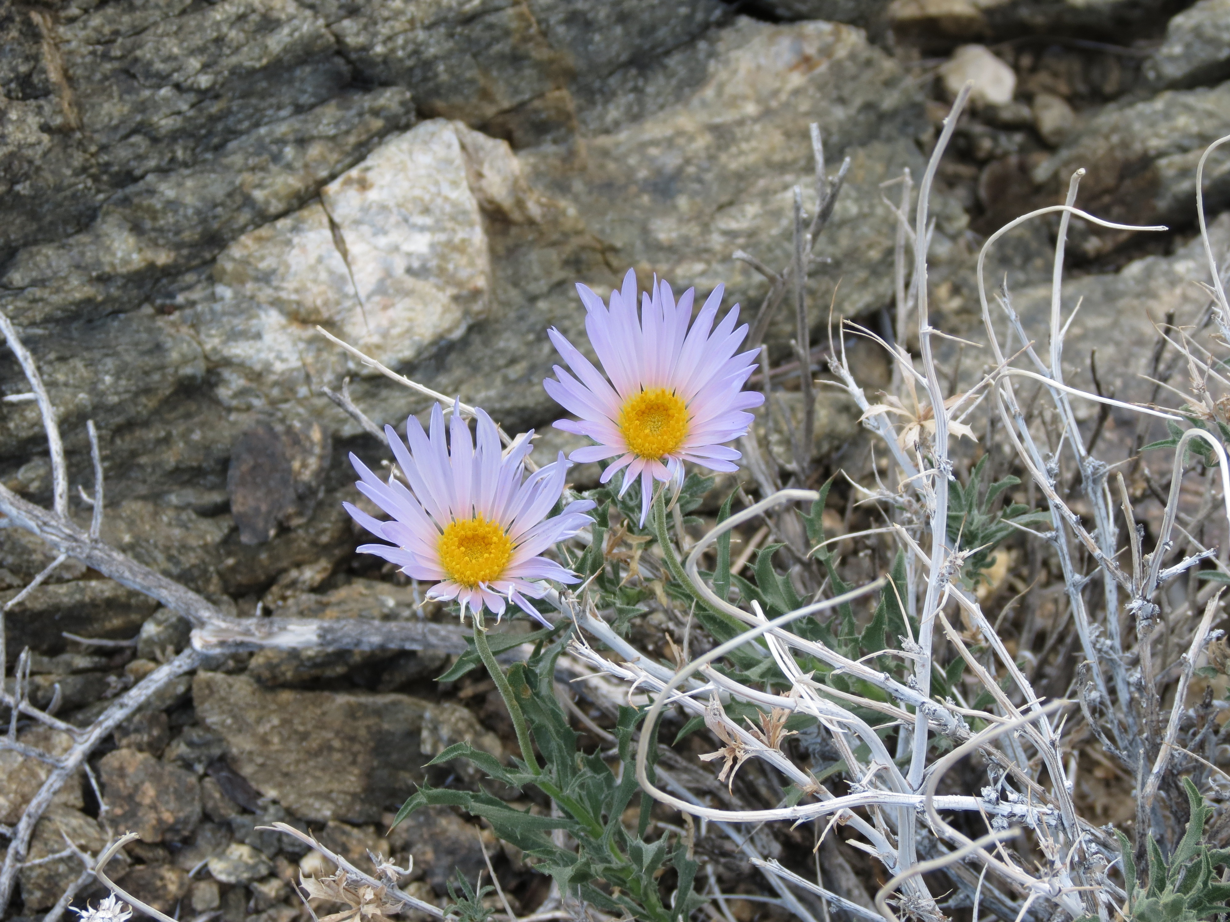
Mojave Aster, Xylorhiza tortifolia (pdf) on slopes of Cottonwood Mountains in Joshua Tree NP. 11/10/2013.
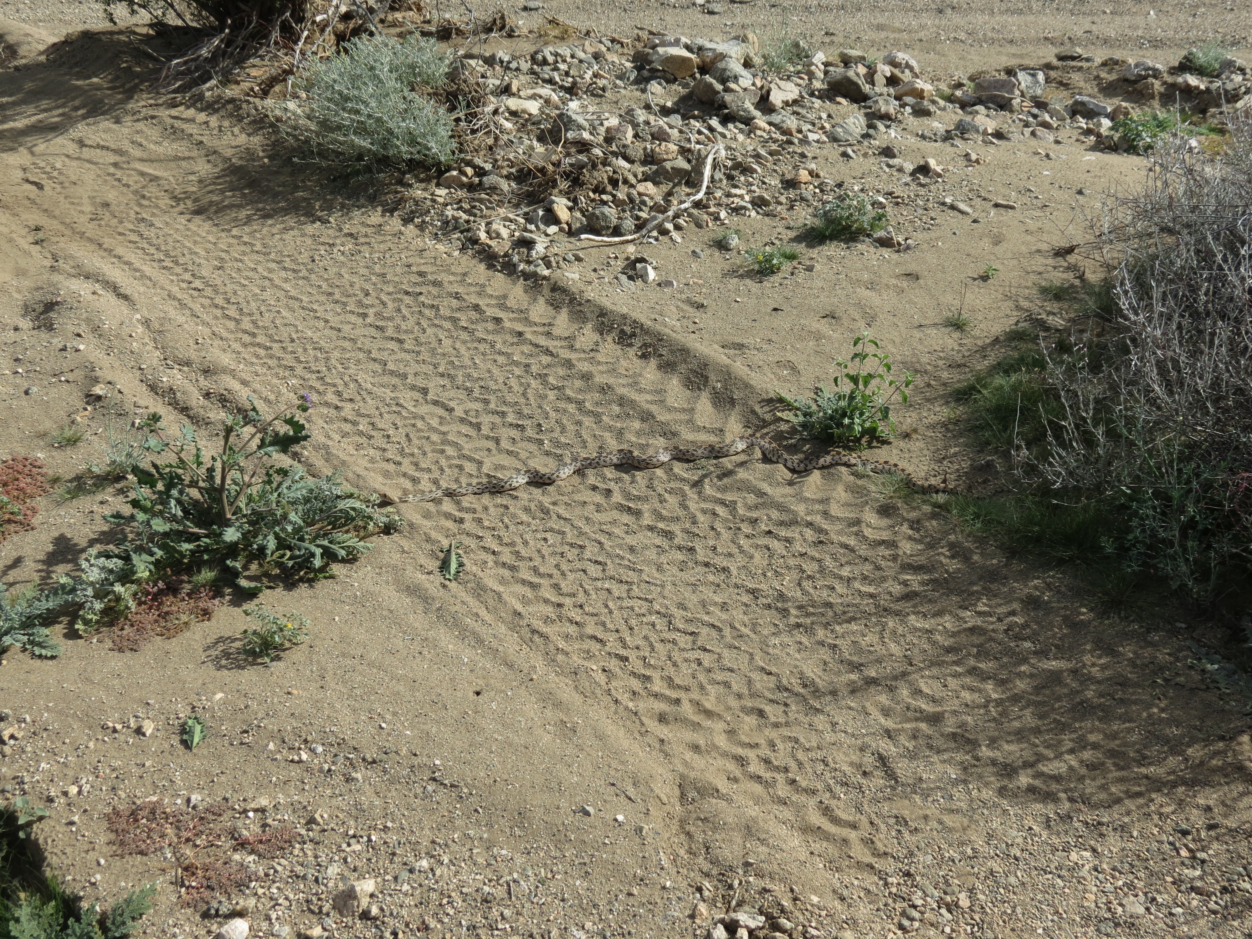

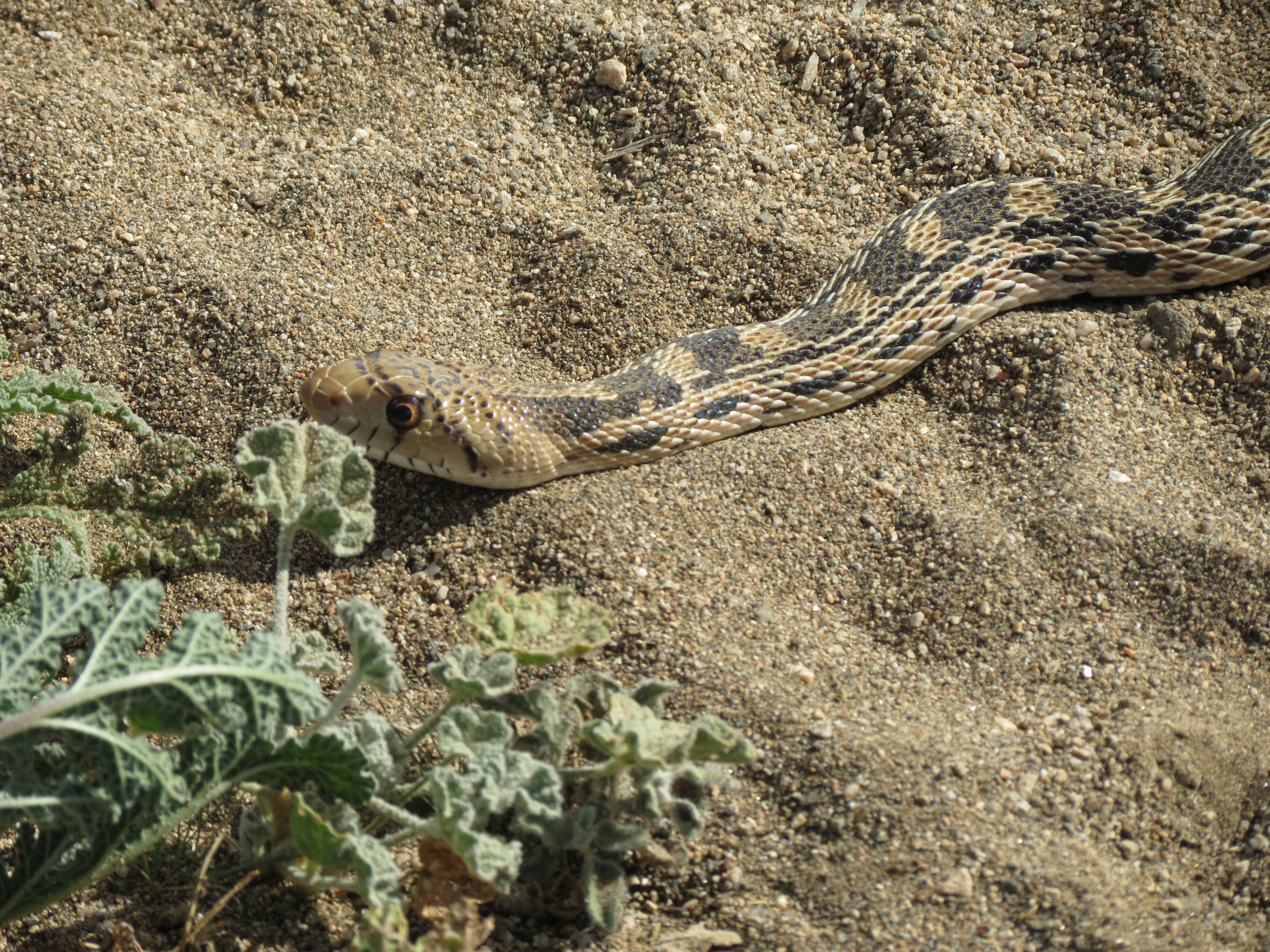
Pacific Gopher Snake, Pituophis catenifer catenifer, (pdf) sunning herself on Pinkham Canyon Road. 11/10/2013.
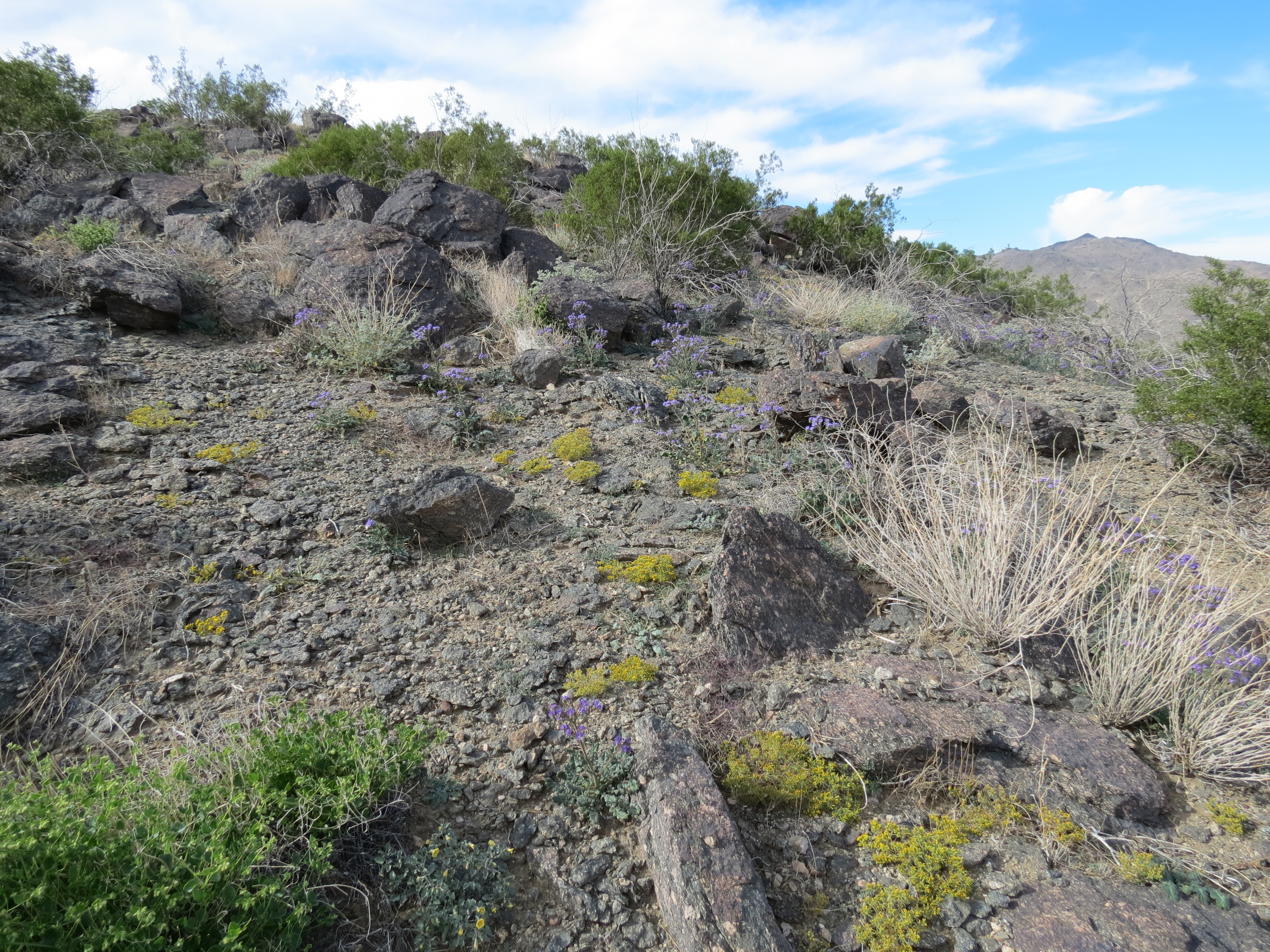
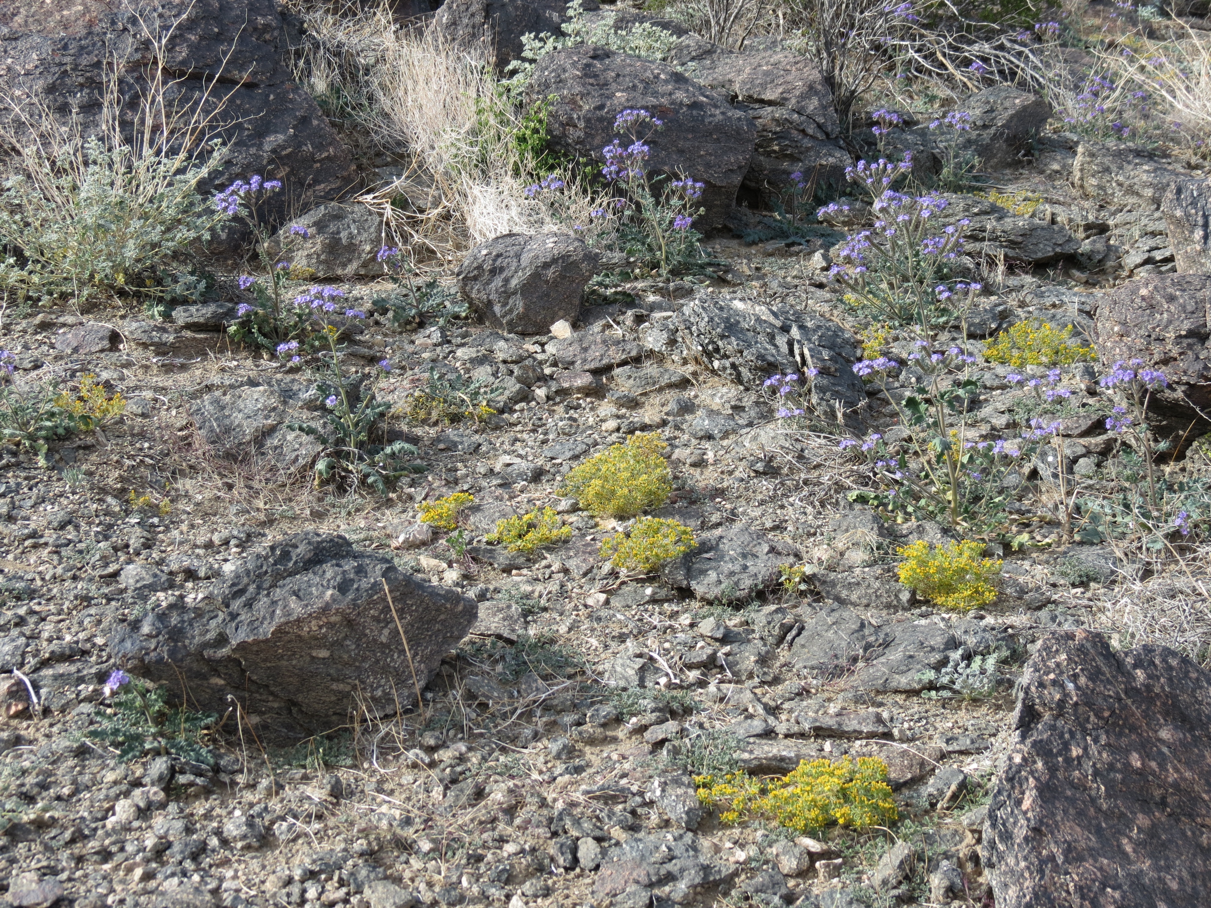

Scorpion Weed (pdf) (pdf) on slopes of Cottonwood Mountains, November 10, 2013. I was late in coming back to Joshua Tree after the rains in August that had caused a late spring during the next several weeks. By November many blossoms had already dried up, so I am sure the landscape was more vivid a month or more before these pics were taken. The vistas were certainly more verdant than what I had seen in May and June. 11/10/2013.

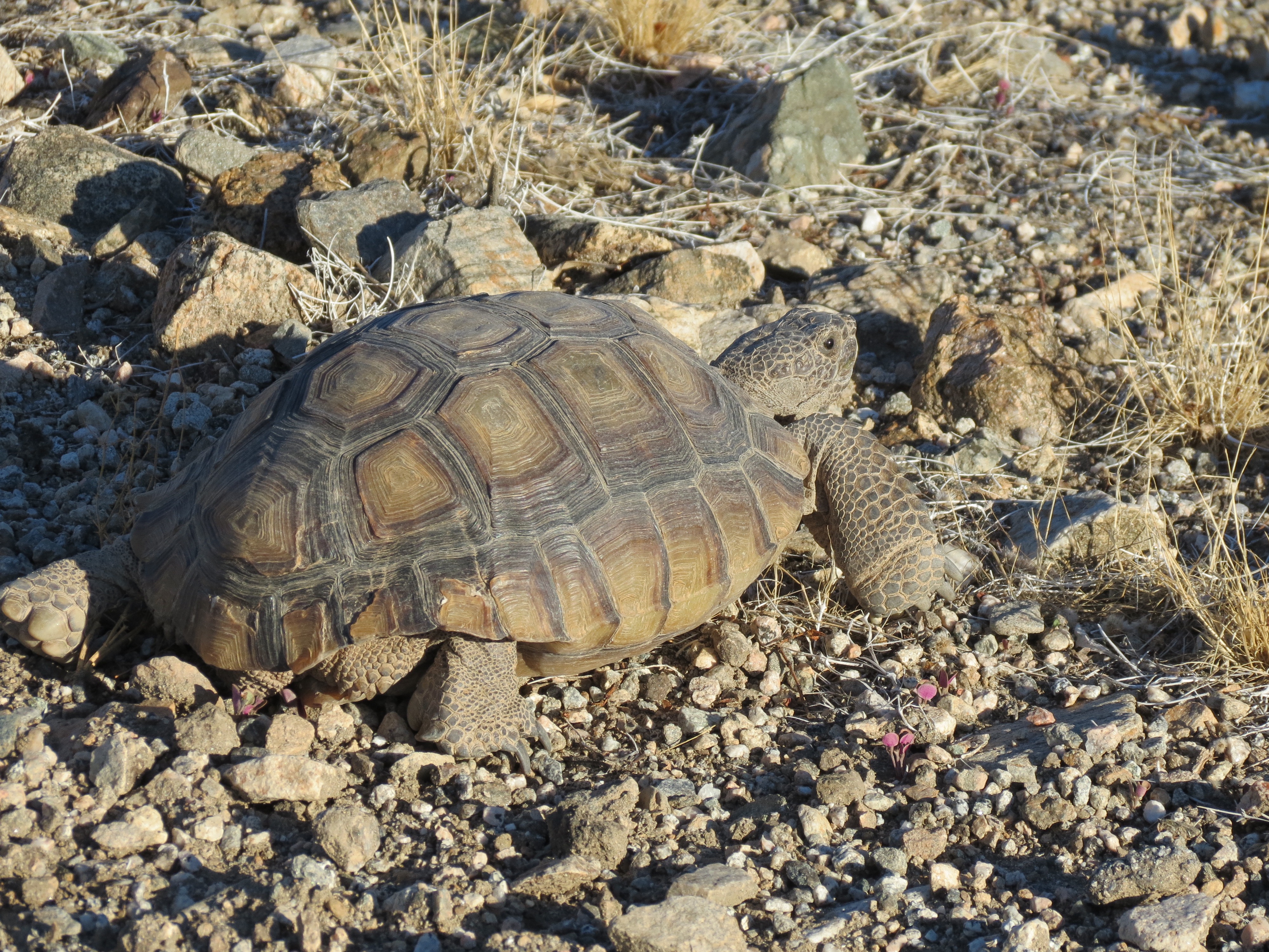
Investigation of tortoise activity on ridge leading to the Cottonwood Mountains summit. 5:17 mov, 1.38 GB. 12/22/2013. The tortoises hadn't been out of their holes for perhaps a year, waiting for the rain that finally arrived in August. Spring came in September and October, when the tortoises attempted to get their fill of flowers. It was slim pickings topside, sadly, and the large reptiles returned to their holes still hungry. What you see in this picture are the tell-tale stump-prints of tortoises foraging.
Joshua Tree Free Of Cell Phones (pdf)
Joshua Tree National Park Map (html application, zoomable) (@NPS)
Comment 2012.12.27.
Joshua Tree is not the prana-rich environment I would prefer, such as provided amply by the Manoa Valley trail network on Oahu I used to hike daily in the early 1990s. But it's all about cell tower avoidance for me now, and the southern portion of Joshua Tree gives me that. Exercise is meditation for me. And I can't meditate with electromagnetic interference in my environment. I had some experiences in remote areas of Kauai and the Big Island that lead me to believe that satellite transmissions are problemmatic -- in terms of their inflaming my consciousness -- as well. But for now, I'm content with the avoidance of terrestrial, line-of-sight artificial transmissions, which is hard enough to accomplish as it is. Peace.
Comment 2013.11.10.
In the past week I have hiked Joshua Tree three times. Each time the silence, lack of people (I rarely see anyone there), comparatively clean air, and massively reduced ground-based wireless transmissions had a strong healing effect upon me. I felt more balanced. I was more consistent and resilient emotionally the following day at school. It's not that the exertion was anything to speak of; rather, it was my being finally being able to breathe. I feel constricted and impinged upon in areas of higher exposure. Energetically, I feel worse after hiking La Quinta Cove and Spitler Peak (up in the San Jacinto Mountains). Since I wouldn't start my hike till 4:30 pm or so, I would get to the half-way point (just an hour or so in) and it would be dark. I would walk off the trail a bit, headlamp on, and find a spot to lay down. Turning off the headlamp, I would just be looking up at the stars, with just a sliver of moon illuminating my surroundings. Not a sound. For a hundred yards around me I could hear the slightest brush rustling or crunch of earth. My heart, body, and mind, for the most part, could rest. I lied down for 20 minutes or so, feeling the air come down off the Cottonwood Mountains, with the temperature changing from 60º to 40º F in the two hour span I was there.
The only negative comment on the trail I can make is that the rainstorms of two months ago caused it to become grossly rutted in many areas, with one-foot or more deep gashes into it where the streams followed the road for some distance rather than merely crossing it. I wiped out along one of these ruts Friday night, brusing my right knee a bit. It was a hard, baked clay surface studded with small rocks that left bruises on my rear end, elbow, and knee. It doesn't help that headlamps aren't as good as handheld flash lights in terms of showing the relative depths of terrain a few feet in front of you. Everything in your field of vision has a washed out, uniform look to it that disguises variations that could lead to mishap. Despite the ouch factor, the location is well worth the hassle of accessing.
Notes
add pic of wren or oriole
 with yellow blossoms.jpg)
Echinocactus polycephalus (cottontop cactus) with yellow blossoms near base of Cottonwood Mountains in Joshua Tree National Park. 7/20/2014.
Cacti of Joshua Tree National Park * Echinocactus polycephalus (cottontop cactus)
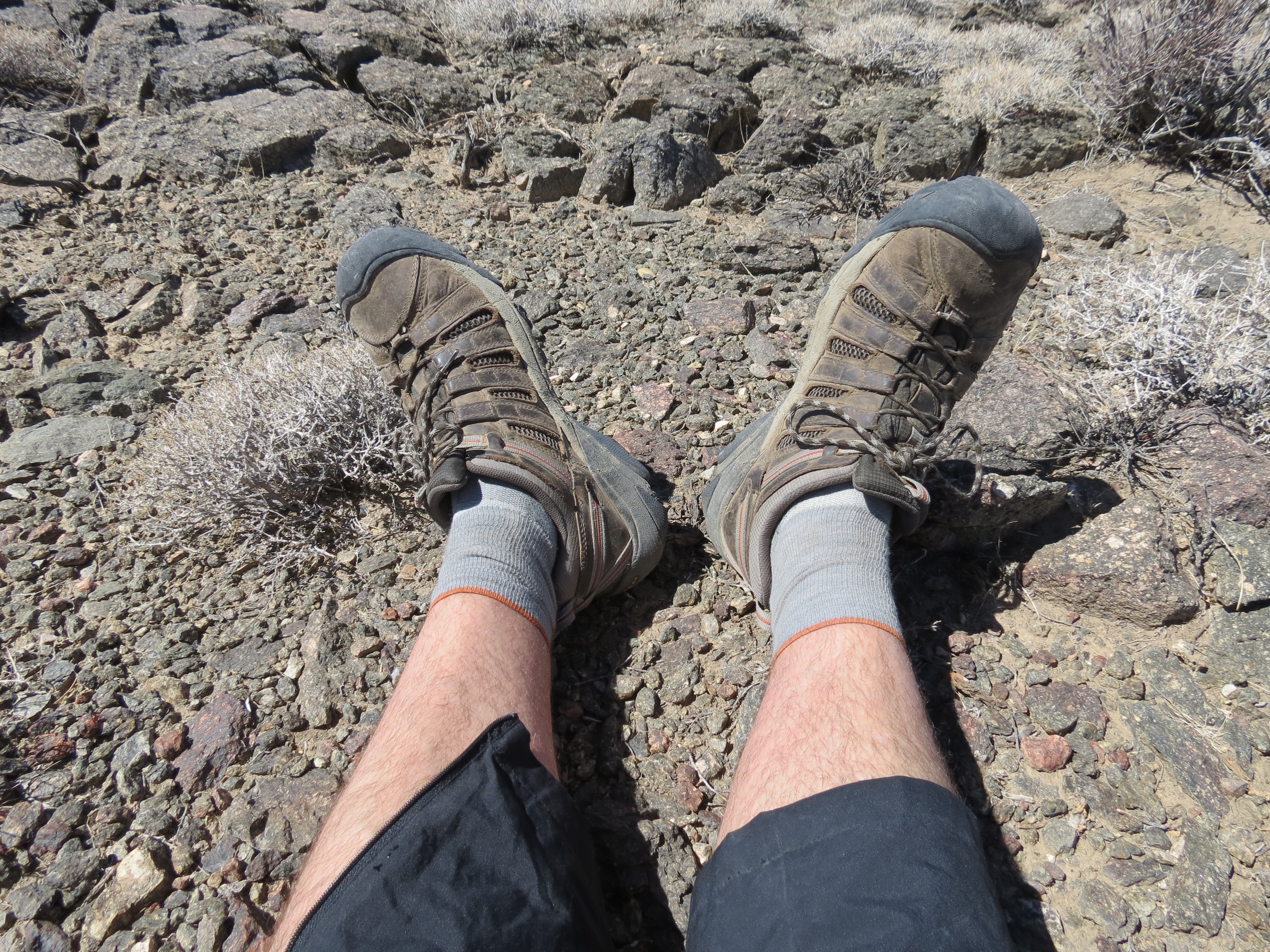
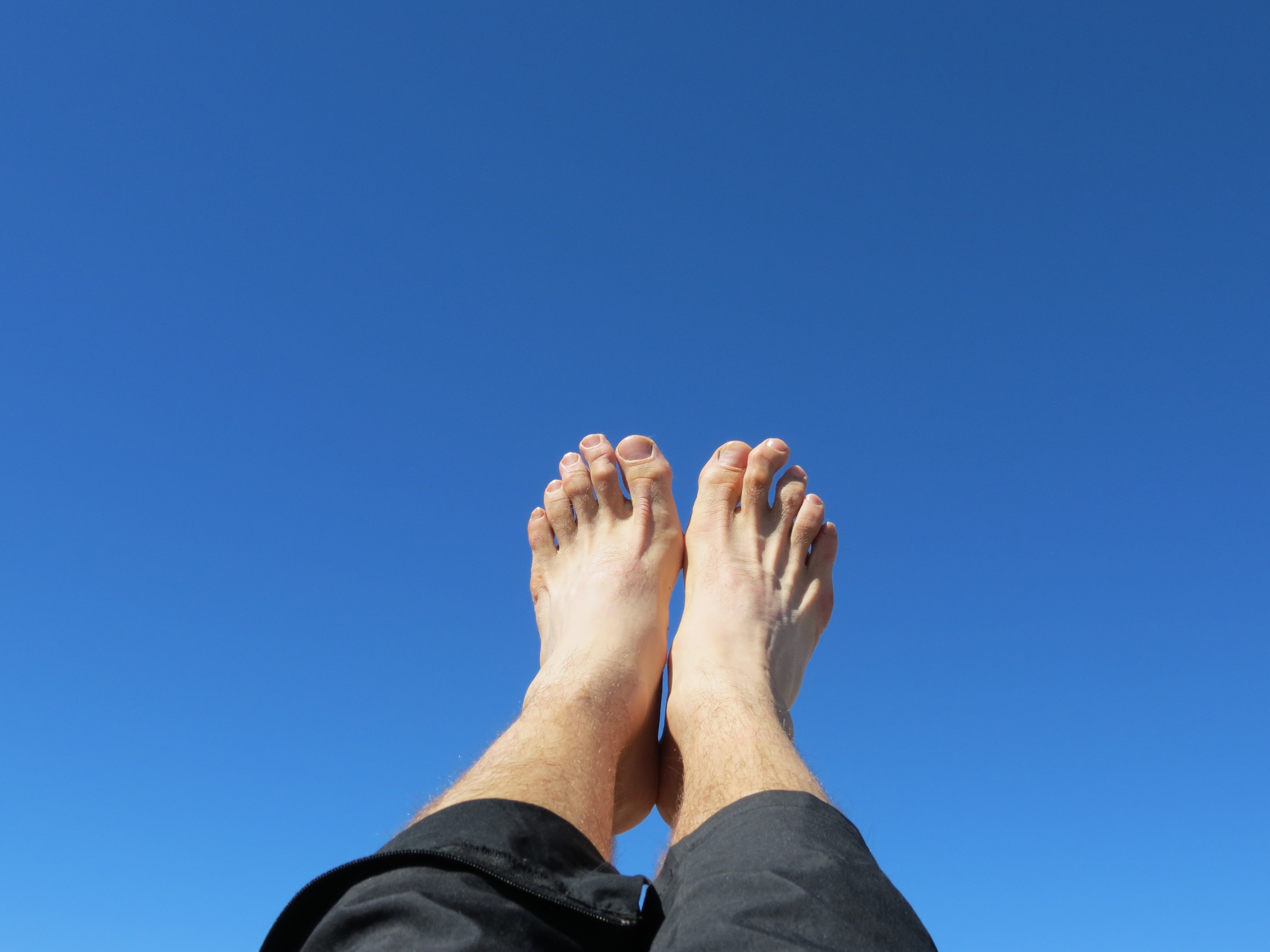
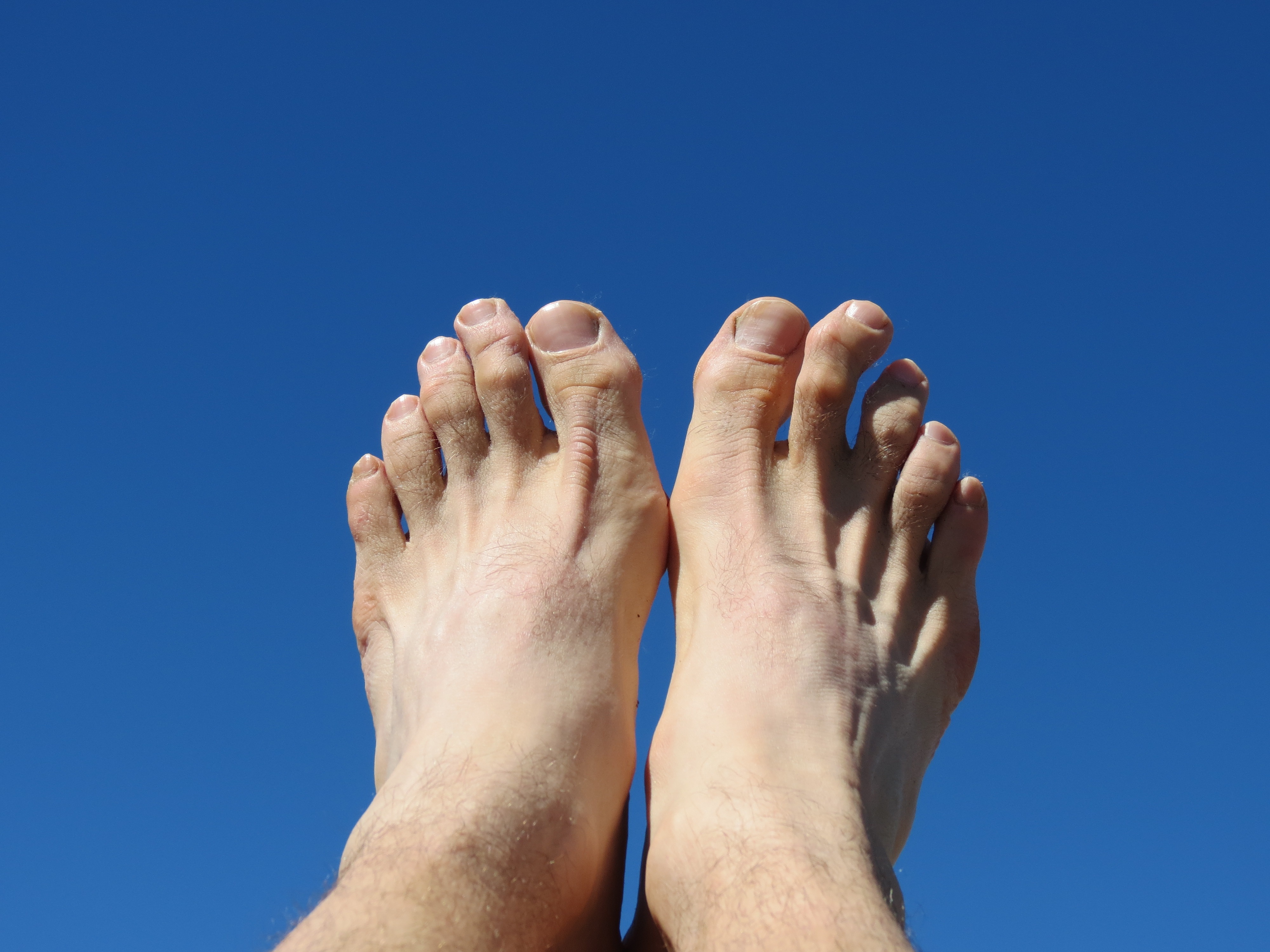

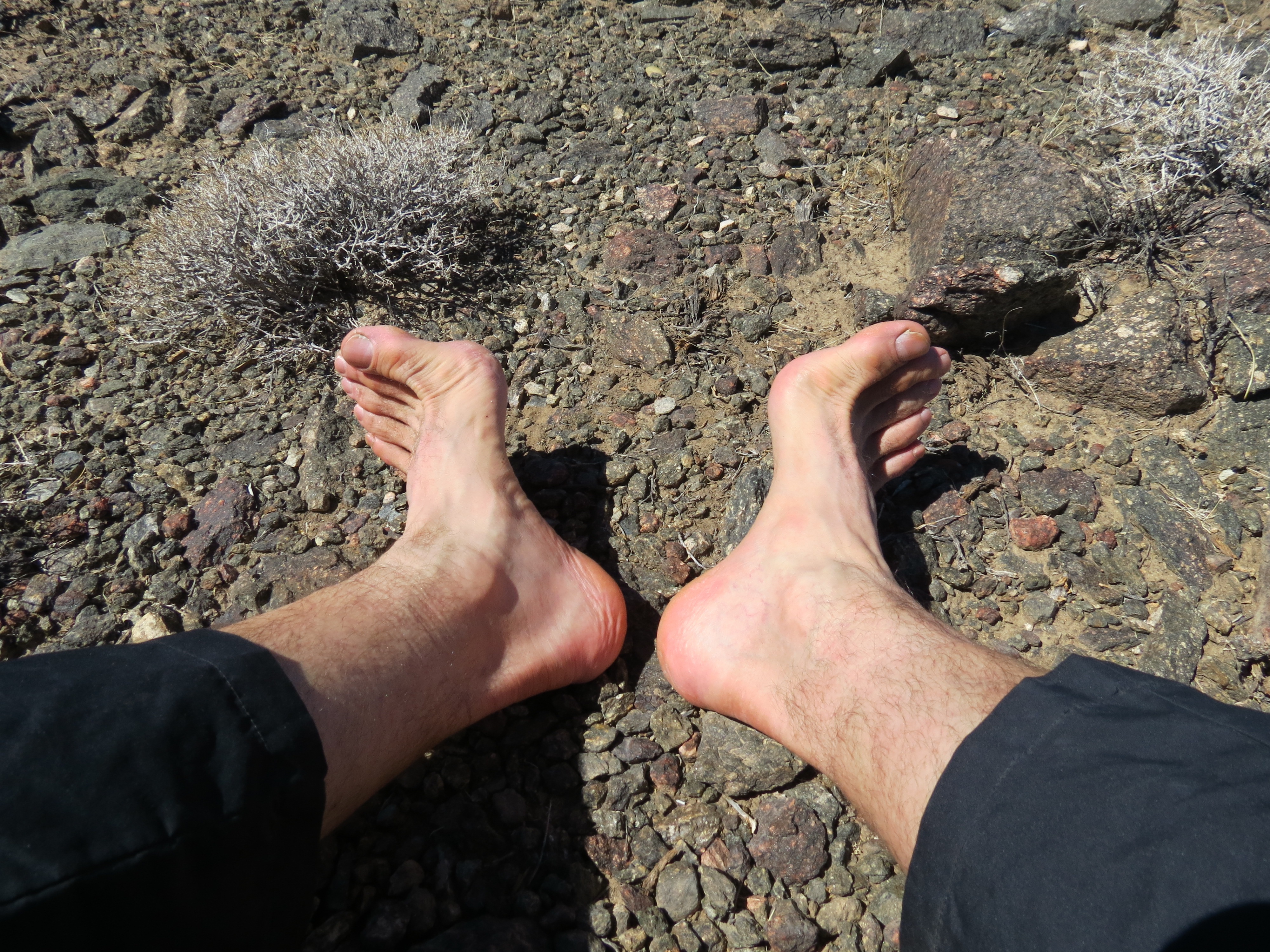
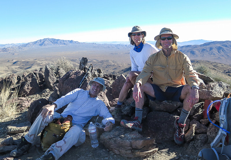
Keen hiking shoes, Lorpen hiking socks, feet raised against the sky at the summit of the Cottonwoods Mountains in JT, bare feet at rest on the ground in Joshua Tree. 7/20/2014.
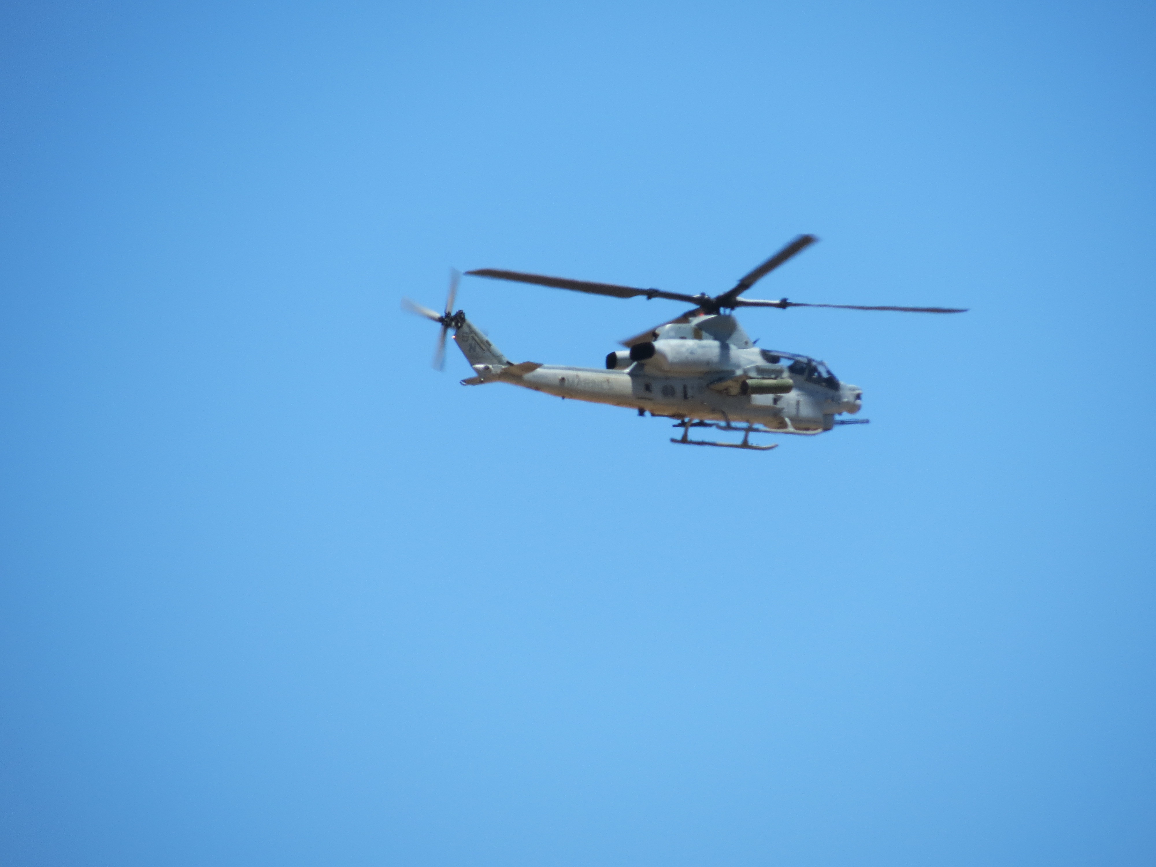
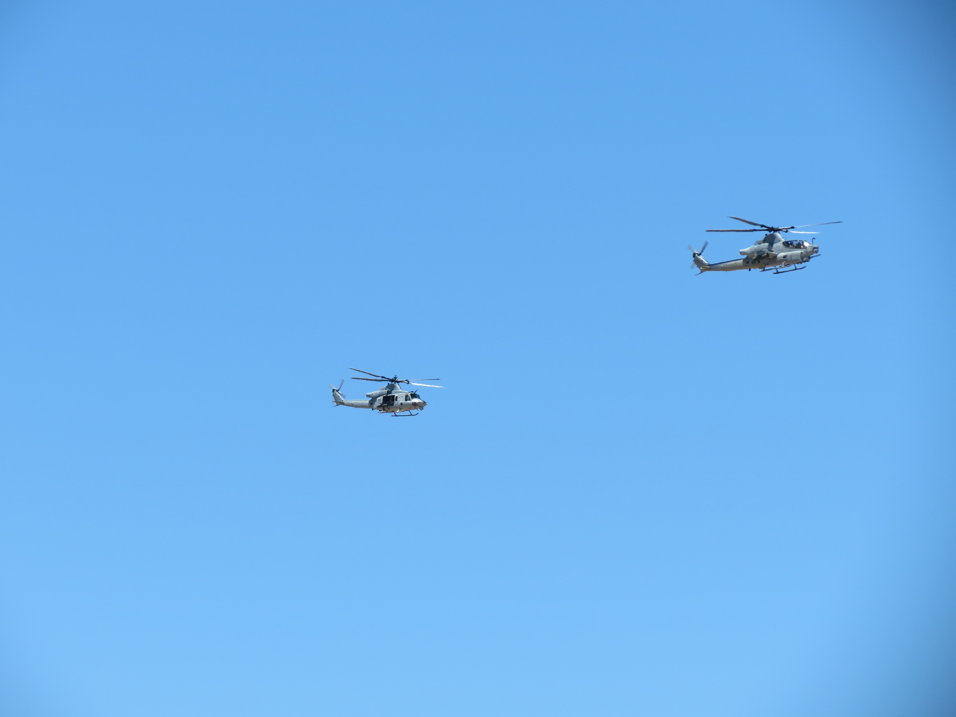
Marine Corps helicopters flying over Pinkham Canyon Road en route to Marine Corps Air Ground Combat Center in Twentynine Palms, California. 7/20/2014.


Baby Horny Toad in my open palm at base of Cottonwood Mountains in Pinkham Canyon in Joshua Tree. 8/3/2014. I'd never seen such a small horned toad. I almost caught another little dude mid-way up the 1000' ascent. I think the humidity and light rains of the last day or so may have triggered their recent hatching. It's a tough environment to grow up in. I wish them the best of luck!
 against clouds in Joshua Tree National Park 1.jpg)
 against clouds in Joshua Tree National Park 2.jpg)
Turkey vulture (Cathartes aura) against clouds in Joshua Tree National Park. 8/3/2014. In the picture at right that looks out across Pinkham Canyon you can see two turkey vultures up high on the right.
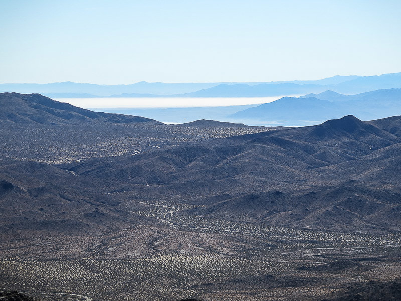
Pinkham Canyon, Hexie Mountains, viewed from Cottonwood Mountains. 8/3/2014. I like how the sun shone in patches through the cloud cover.
Rain falls over Coachella Valley, as viewed from summit area of Cottonwood Mountains. 8/3/2014. About an hour later, on my return hike back to the car, I had sustained light rain for an hour. I figured it soaked down into the soil a good inch or two. The area was desperate for the water. Near the car I observed an explosion of small flying insects with long, delicate wings, flying slowly through the air. It was clear that the rain had triggered this likely shortlived event in the creature's lifecycle.
Chemtrails over Joshua Tree National Park, August 24, 2014. NEED TO EDIT THIS POST


Walking along Pinkham Canyon Road; horny toad hunkering down in a sandy off-road tire tread. Four-minute video of me walking late in the day. 5/17/2015.

Video of chem-clouds, otherwise known as cumular ringwraiths. Joshua Tree National Park. 6/25/2015. (cf. at Wikipedia)
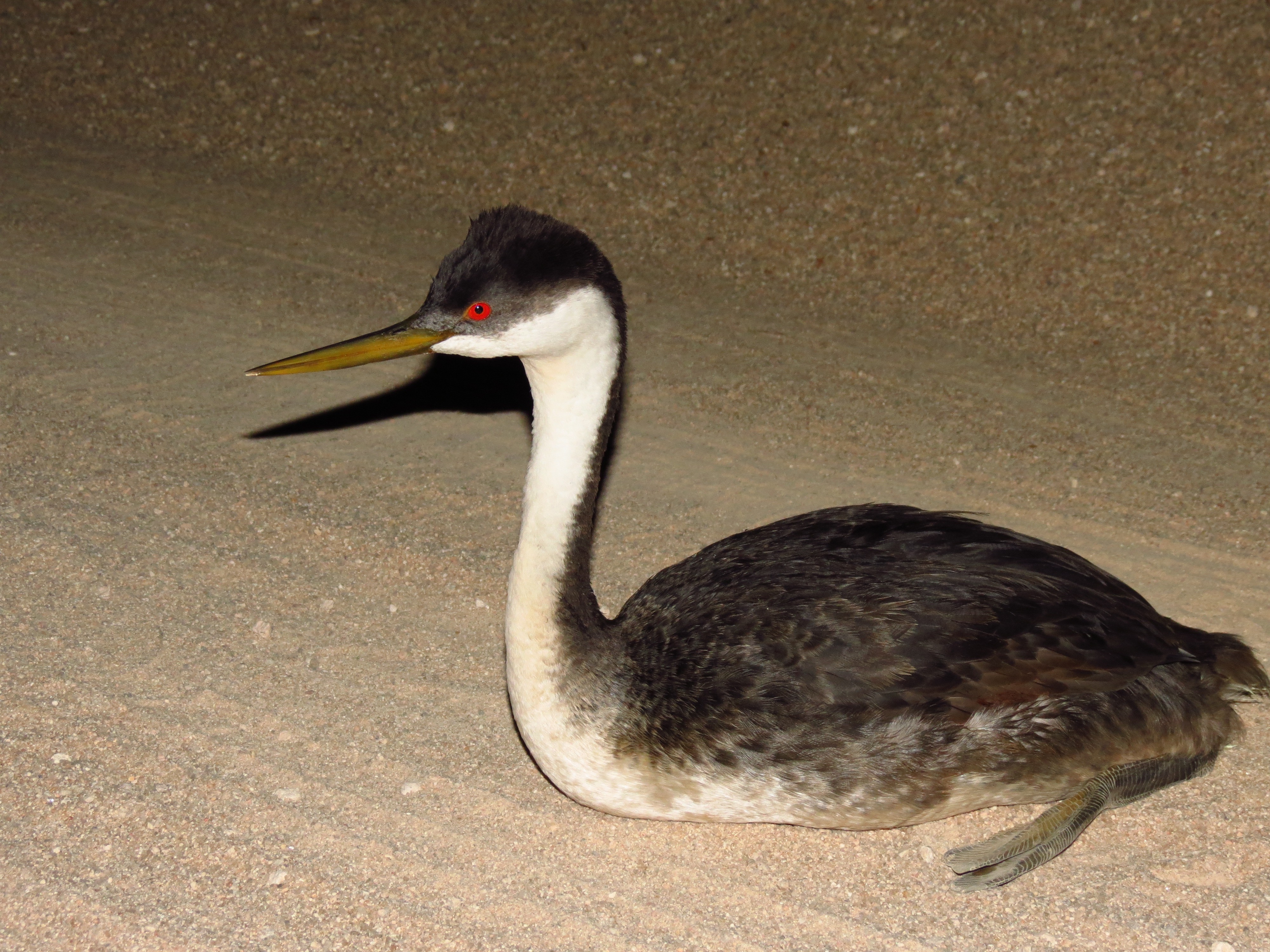
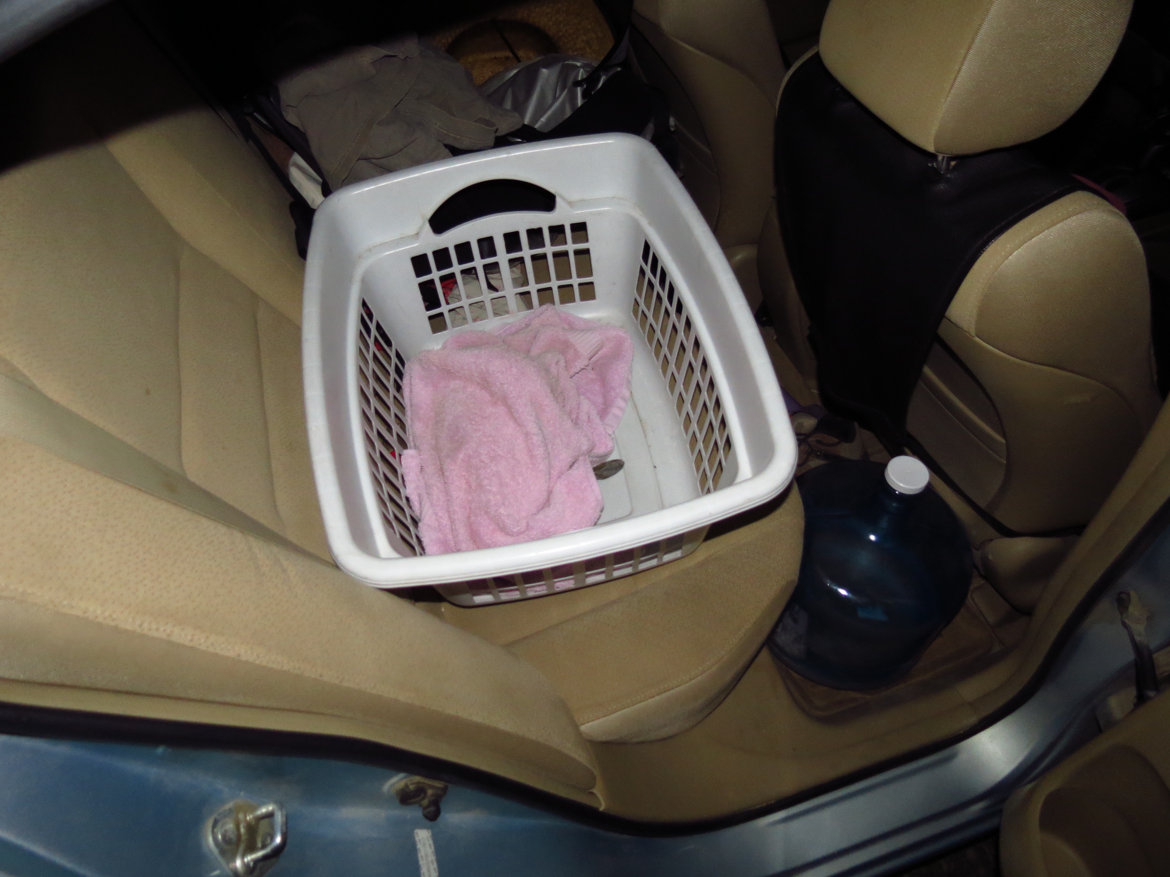
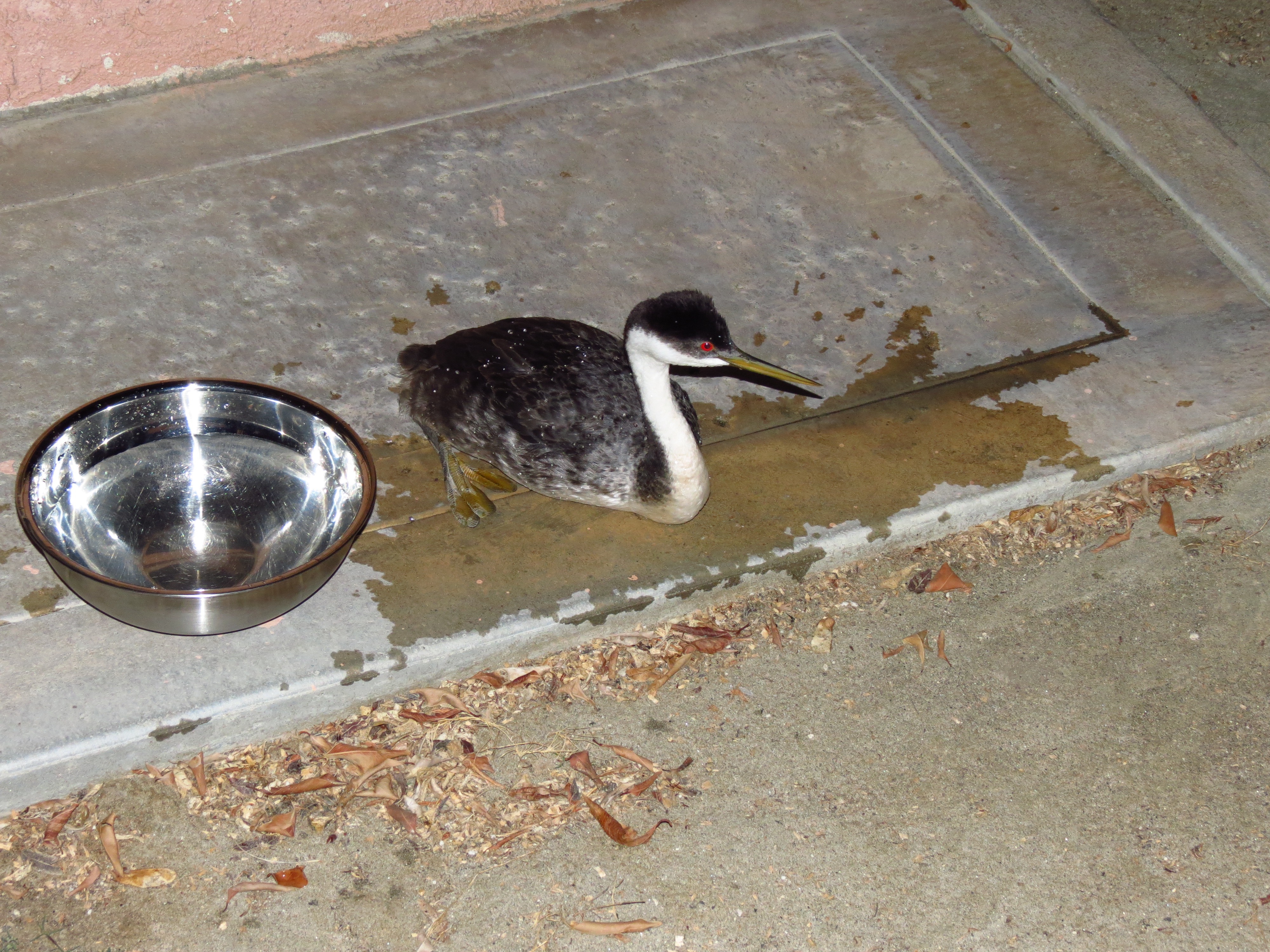
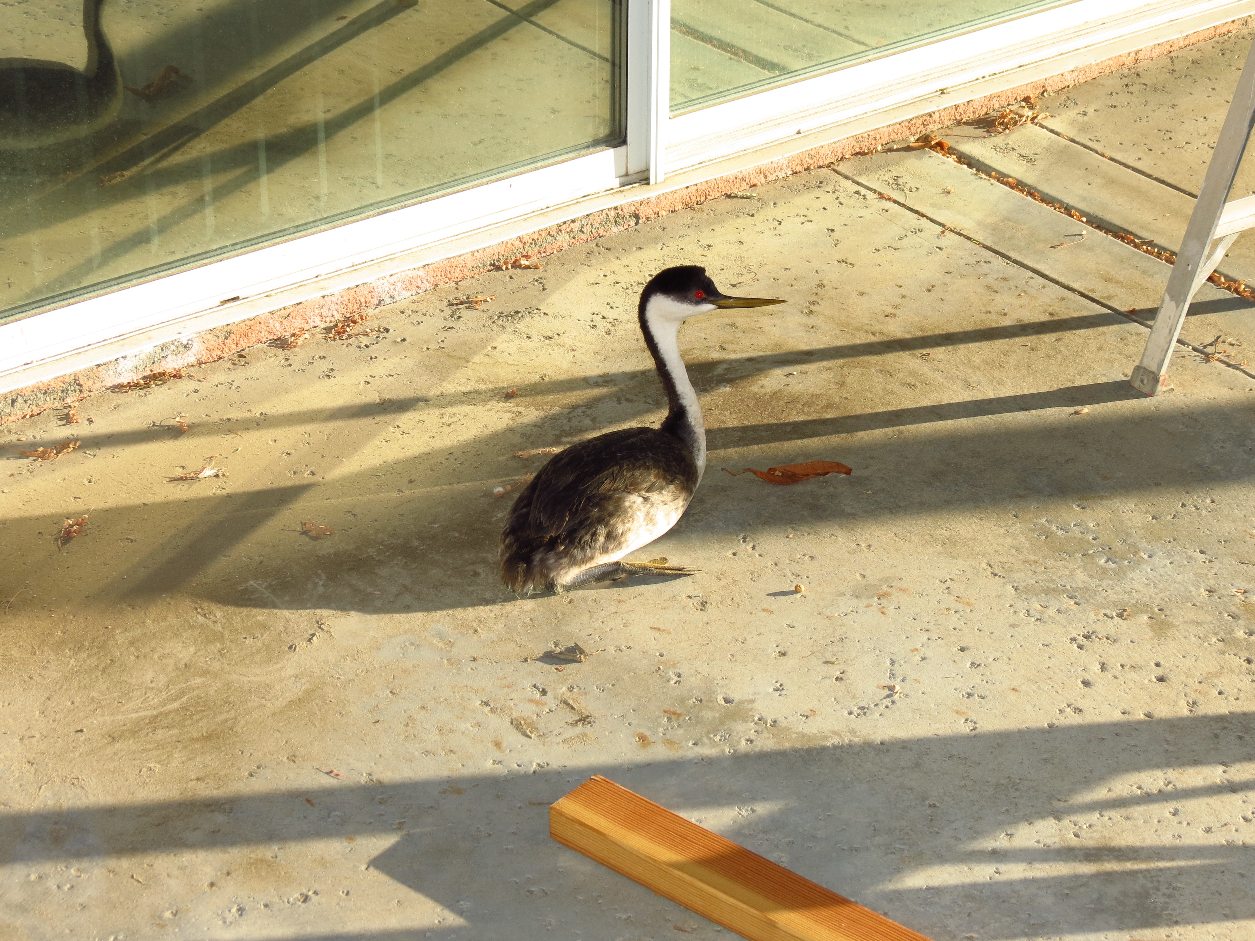
The above pics are of a cormorant sea bird I encountered on Pinkham Canyon Road in Joshua Tree NP the evening of 10/26/2015. The bird had apparently dropped out of the sky from exhaustion. Seeking my assistance, he followed me on foot for a quarter mile. Impressed with the creature's unusual resolve, and feeling the burden of his plea for assistance, I took the fellow home for the night. Throwing my wash towel over him calmed him considerably. Though he came forward numerous times for assistance, he instinctively pecked at me if I came too close. Hence the need for a towel. The next morning I contacted the appropriate agency who picked him up and brought him to a nearby manmade lake where the bird was able to recover and eventually fly again. I feel sorry for the birds who resort to the Salton Sea, given its epidemics of botulism and 110º summer temperatures. But this is the best they can do, given that the cool and verdant estuaries along the coast have all been developed for human use and habitation.
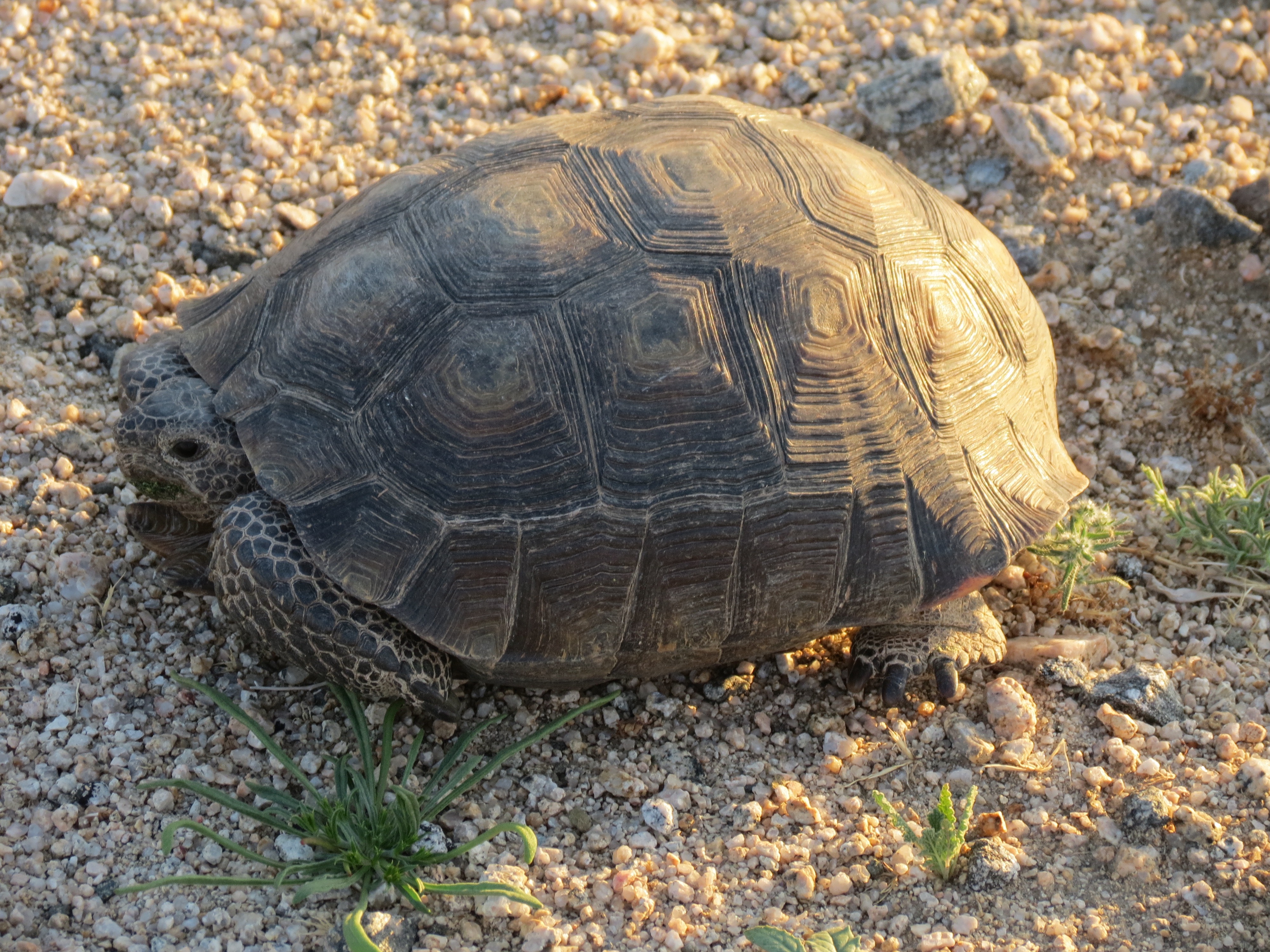

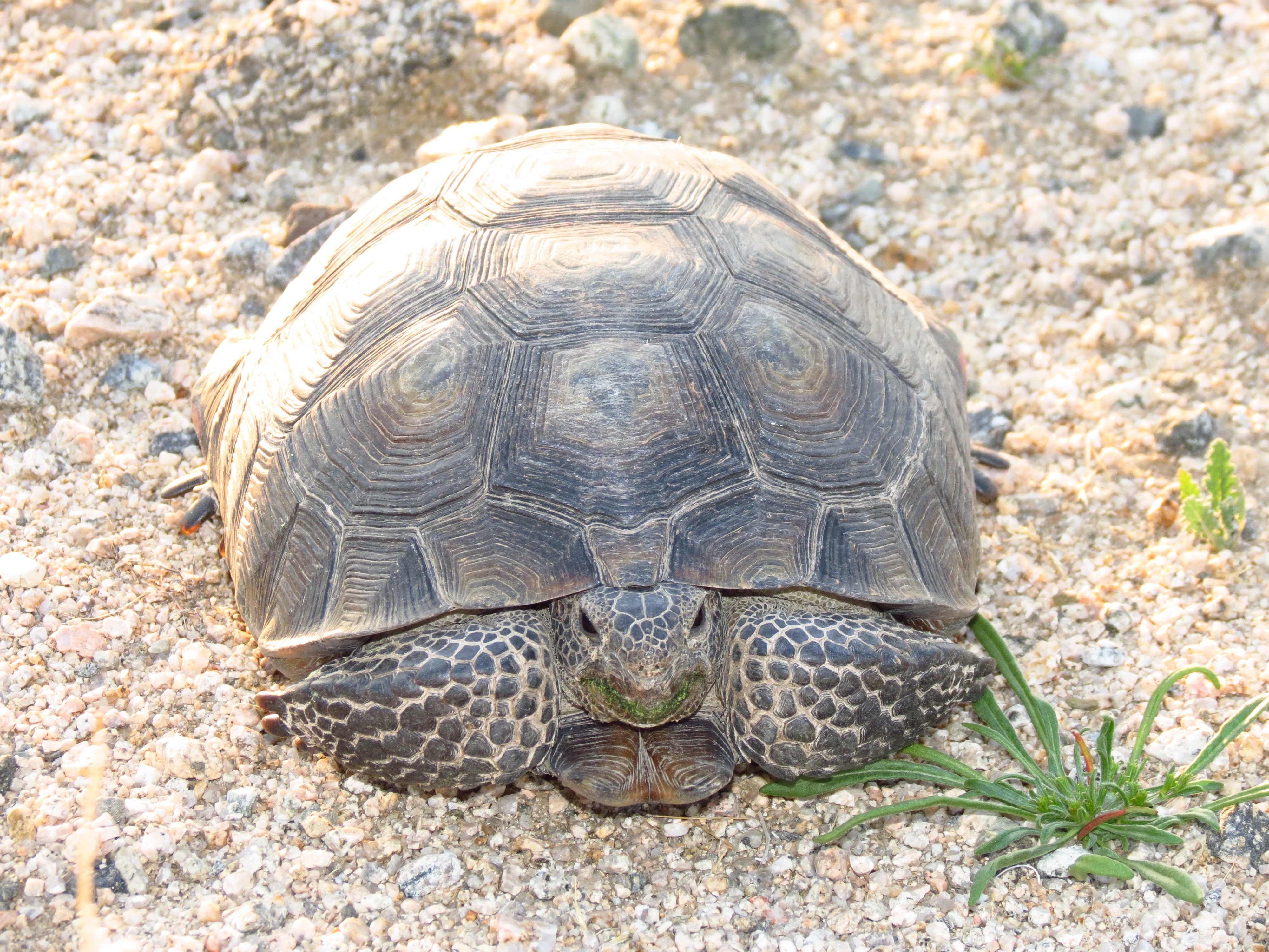

2016.3.1. I found this desert tortoise in the middle of the road in Joshua Tree National Park this past Tuesday. Though traffic was moving fast, I stopped my car, put the hazards on, and went to pick him/her up and place it safely on the side. If you look closely, you will see the green edges of its mouth. Since our downpour of about 1/2 an inch 3 weeks ago, some of the spring desert flowers are coming to life. There are about 1/3 the number of green shoots as compared to 4 years ago when I first hiked here, likely on account of the lack of precipitation and constant heavy metal bombardment from our friends at dot-gov. Hopefully it will be enough for this guy to live to see another season. Though he was 10-12 inches long, he was very lightweight. Hopefully he will eat his fill and gain back some of his body mass that was no doubt lost due to starvation rations and hibernation.
I've been on the lookout for creatures in the road ever since I passed by a beautiful jackson chameleon crossing the Mamalahoa Highway in Kealakekua 15 years ago. Traffic was moving slowly and I could have stopped, halted traffic, and gotten him to safety. But I didn't. If I recall correctly, on my return from shopping in Kailua-Kona, I found him at the far side of the opposing traffic lane crushed flat with his tongue extended a good six-to-eight inches from his squashed body. These chameleons are such irridescent, green, curious creatures, what with their jerky slow motion movements, little horns, and oversized eyes that seem to roll in all directions. They are harmless and kind. All they seek is a good bug to eat. I didn't want this tortoise to meet a similar fate.
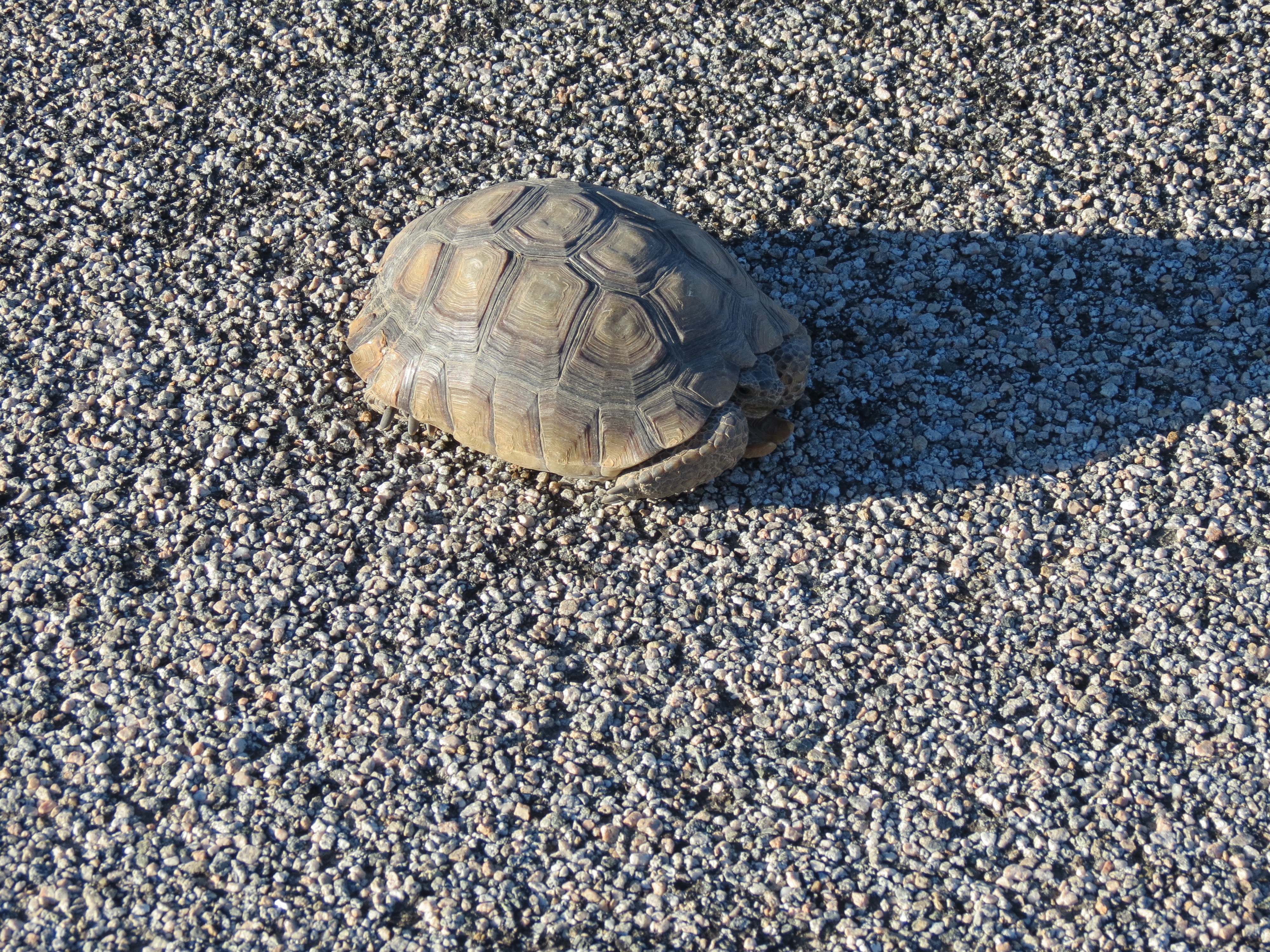
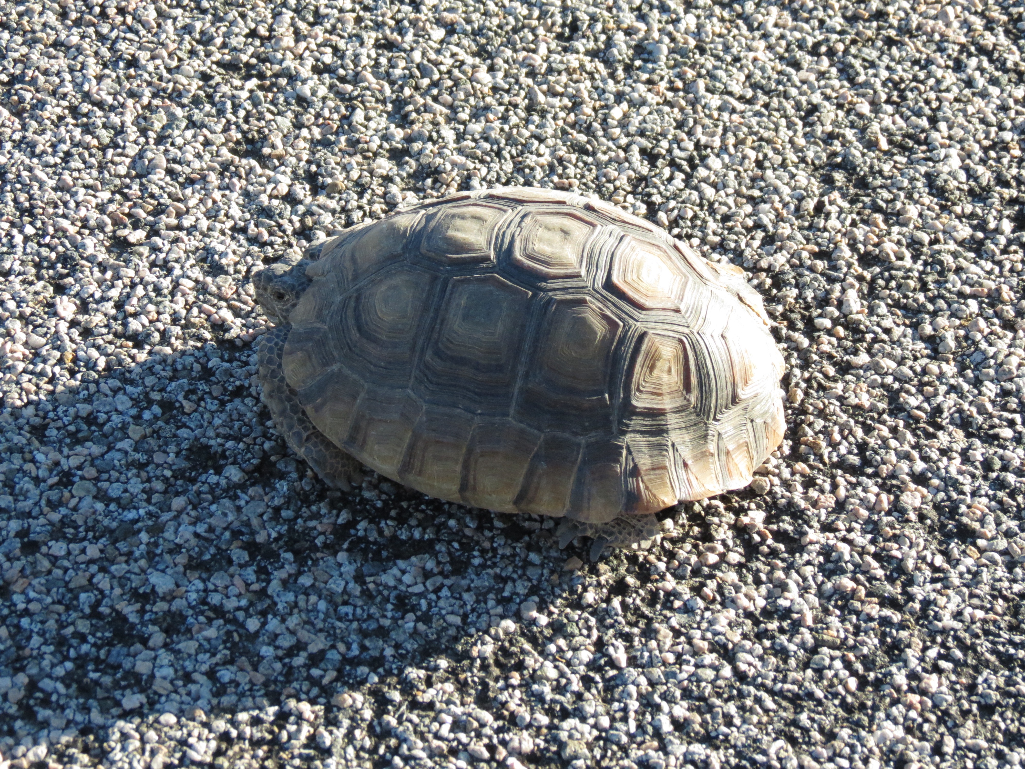

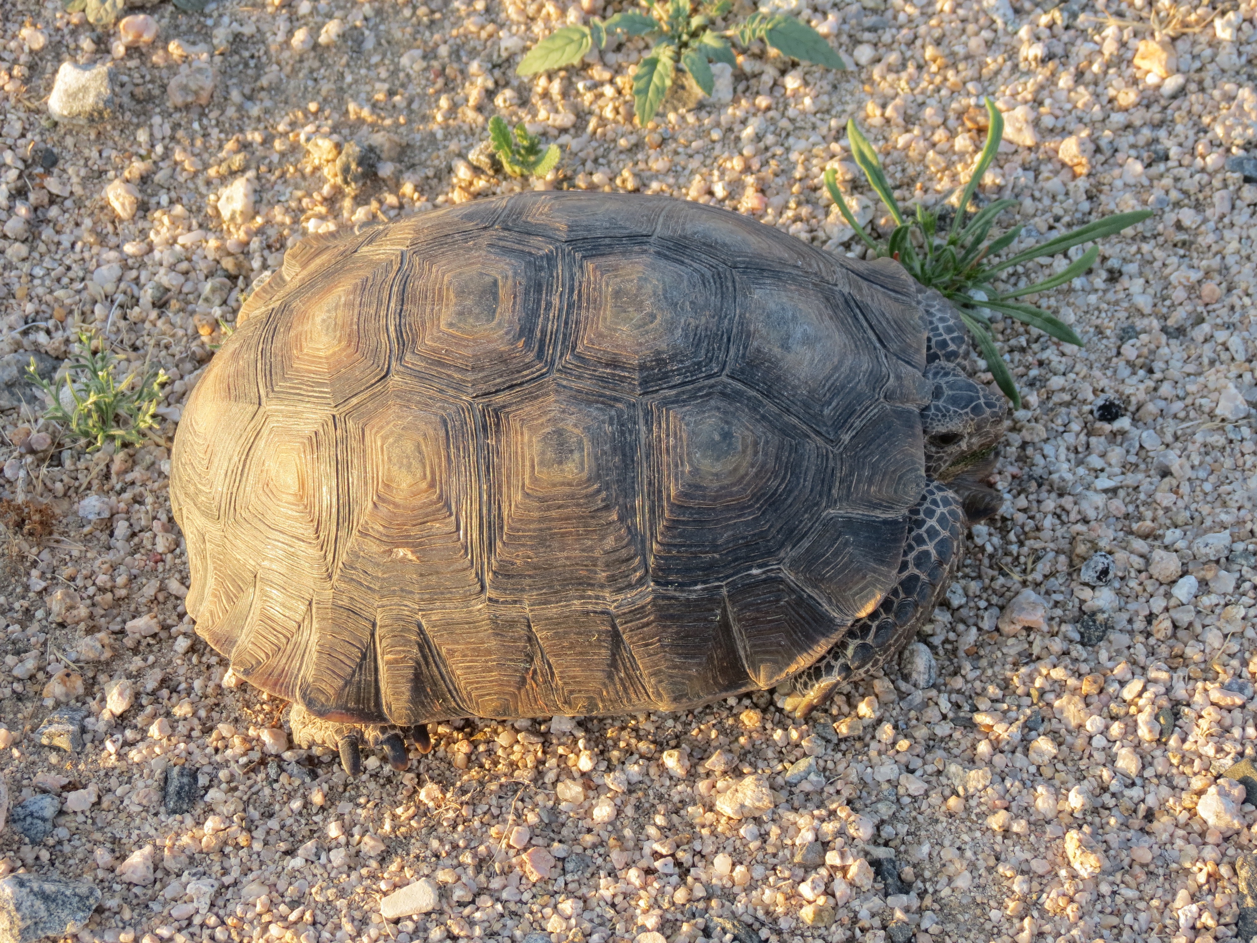
October 6, 2016: Good day for wildlife viewing. Driving to Joshua Tree along Box Canyon Road, near the Orocopia Mountains Wilderness Area, I came across a desert tortoise. He was half again larger than the tortoise I had encountered seven months earlier, and three times as heavy. I saw a large object in the middle of the road as I slowed and recognized in passing. One hundred yards later I turned around, but only after a large truck past by me in the opposite direction. It barely slowed for the tortoise, but luckily the creature was unharmed. I put on my hazards, leapt out of the car barefoot (I had forgotten my shower slippers) and in my boxers, as I undress as much and as often as possible in the desert, tiptoing across the hot, rough asphalt to the precariously placed reptile. I wanted to get a picture of him in situ, but I didn't want to risk more cars passing by, so I quickly took a shot and then hauled him up the 3-foot embankment, bearing south and upward from the wash area that he appeared to have come from. To my eyes and hands he was a lively and vigorous specimen, moving his legs rapidly in the air when I picked him up, unlike the earlier fellow who pooped when I lifted him and remained motionless. Perhaps he was on mate-patrol. I wished the tortoise good luck in his journey.
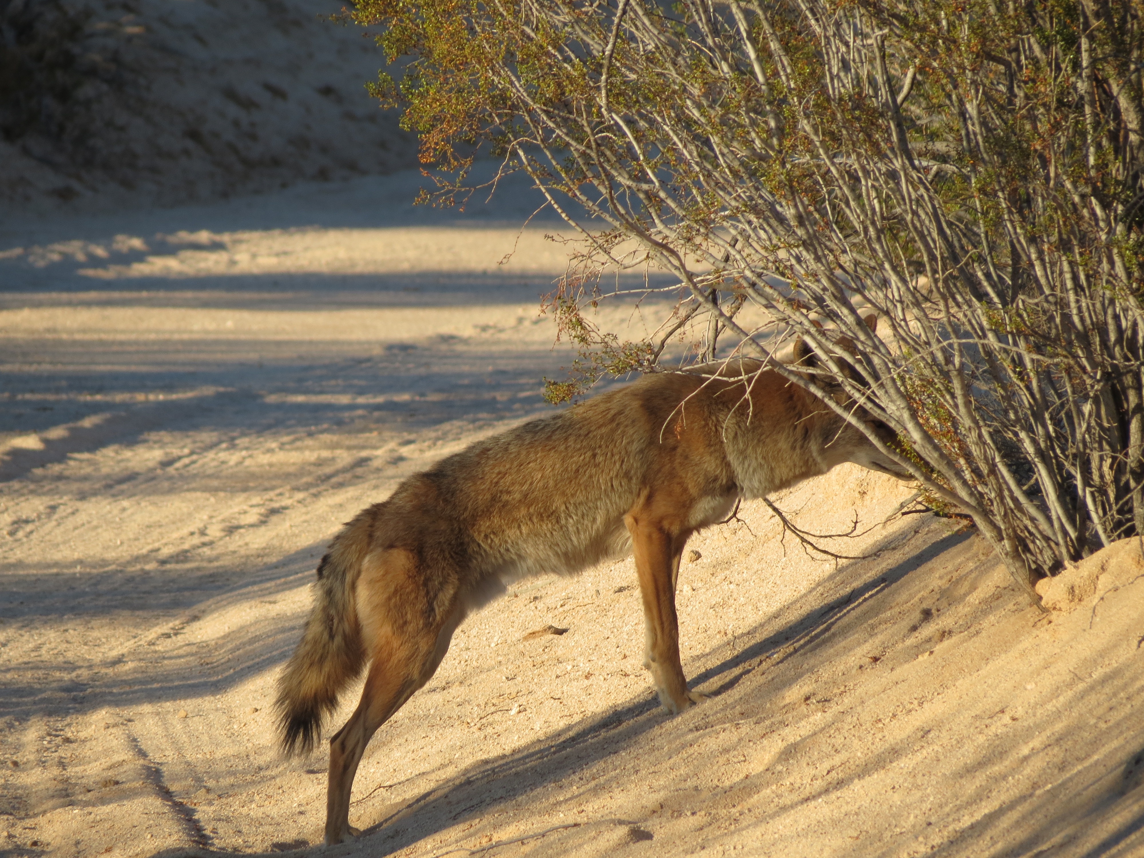
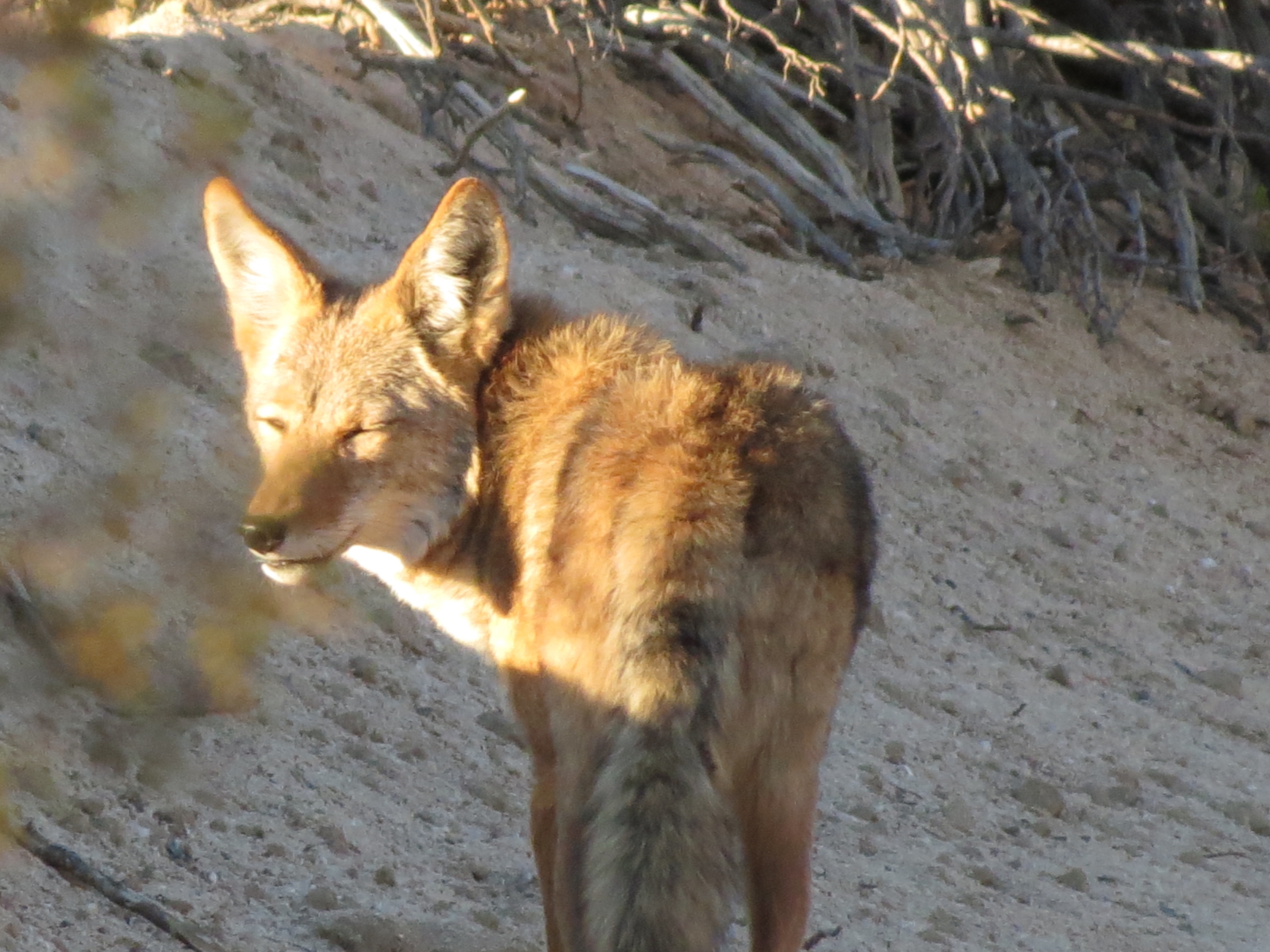
Once at my parking place on Pinkham Canyon Road, I was surprised to see a coyote trotting past me at about 60 feet. This is highly unusual behavior for a coyote in this area. Perhaps he had become too well adjusted to the campers that park at the Cottonwood Springs camp area 1.5 miles away. In any event he went about his business sniffing at this and that. I showered like I normally do, bringing out my 3-gallon bottle of water, but keeping some self-defense handy. He acted like he barely noticed me, which I am sure was a sly ploy on his part. Good luck keeping away from the mountain lion that has taken up residence over the past six months! 10/6/2016.
Hexie Mountains and Cottonwood Mountains after recent rains. 12/30/2016.
Here's a 10-minute video I made discussing the Cottonwood Mountains, Hexie Mountains, dying yuccas, recent rains, and the pungent smell of smoke trees. 12/30/2016.
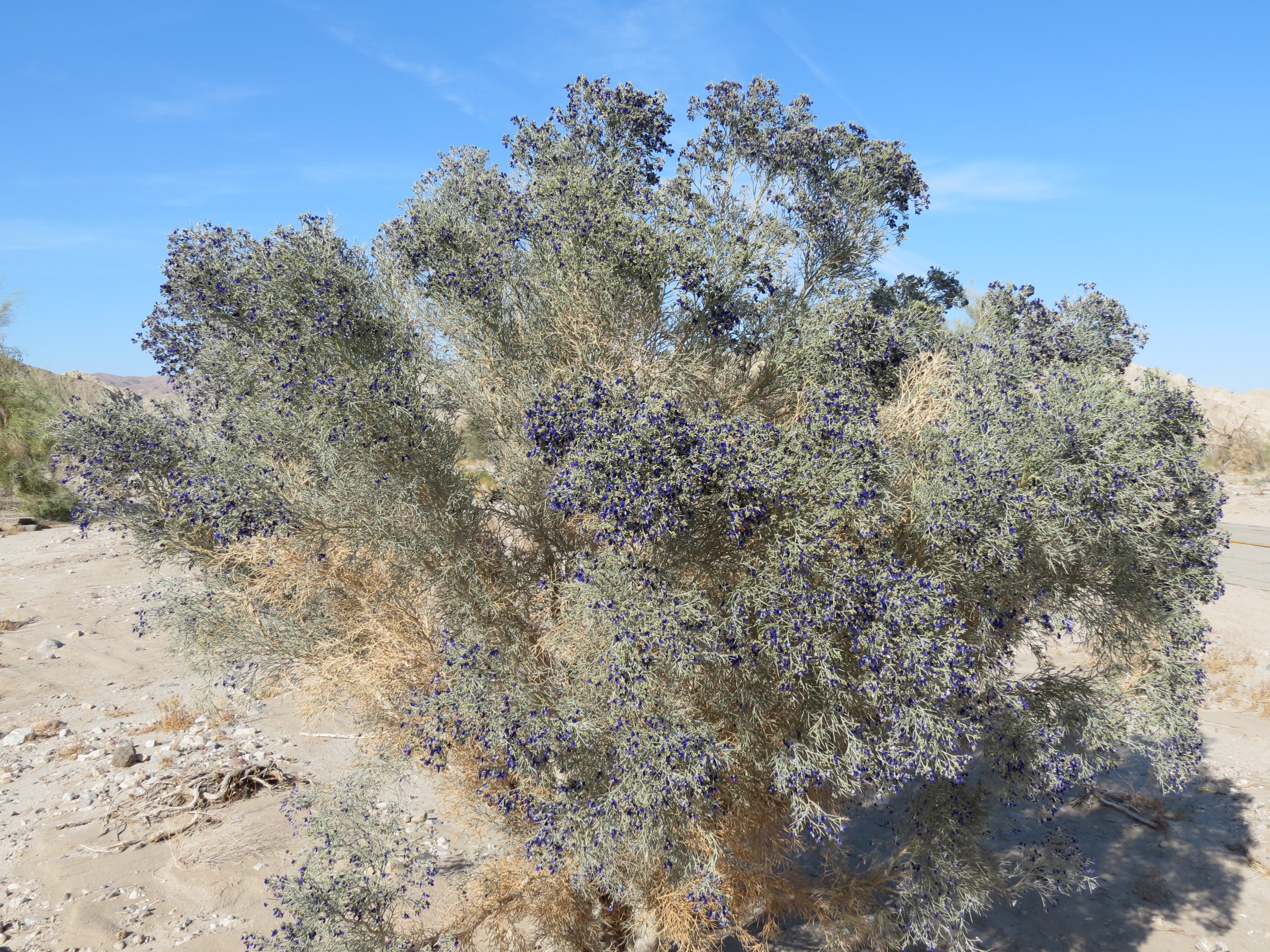
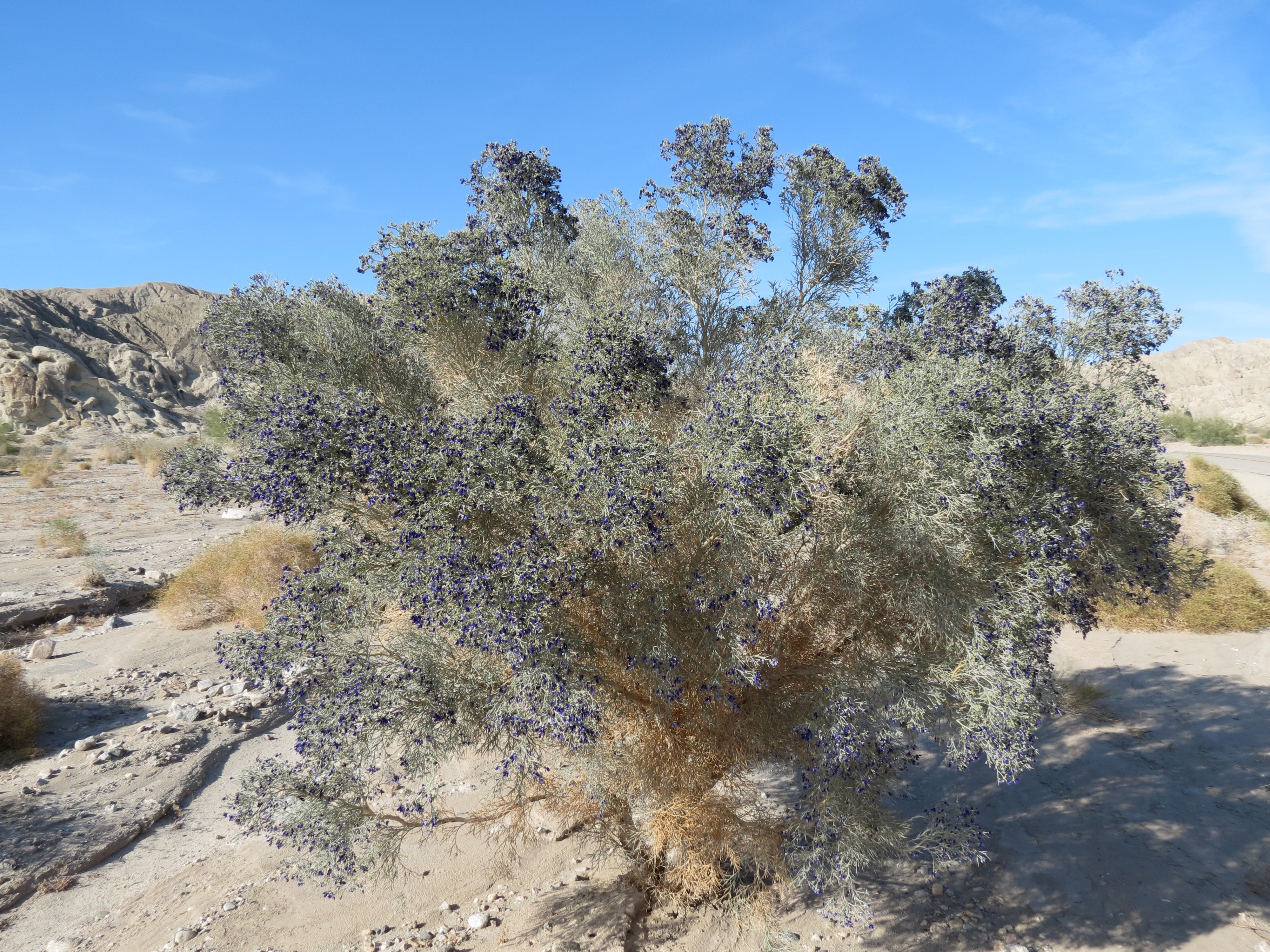
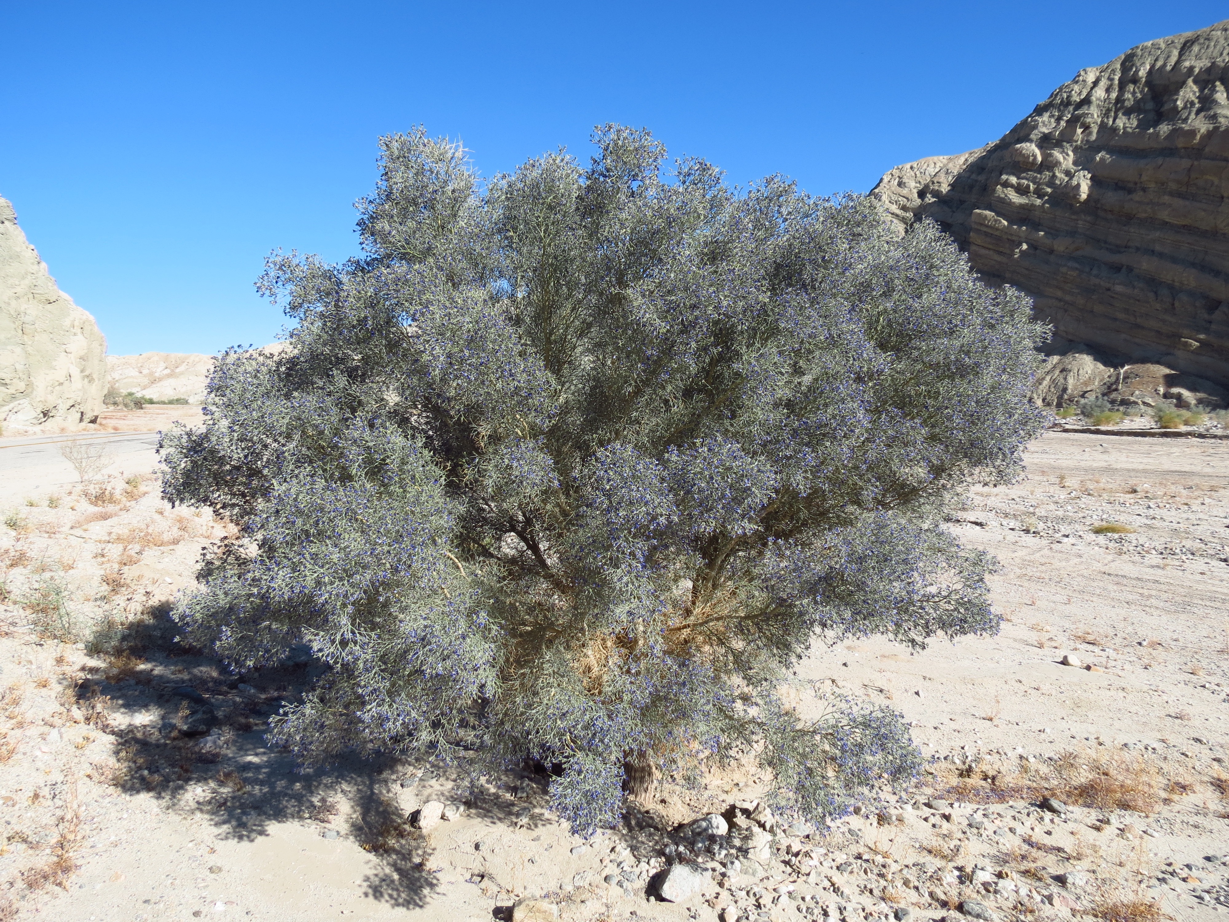
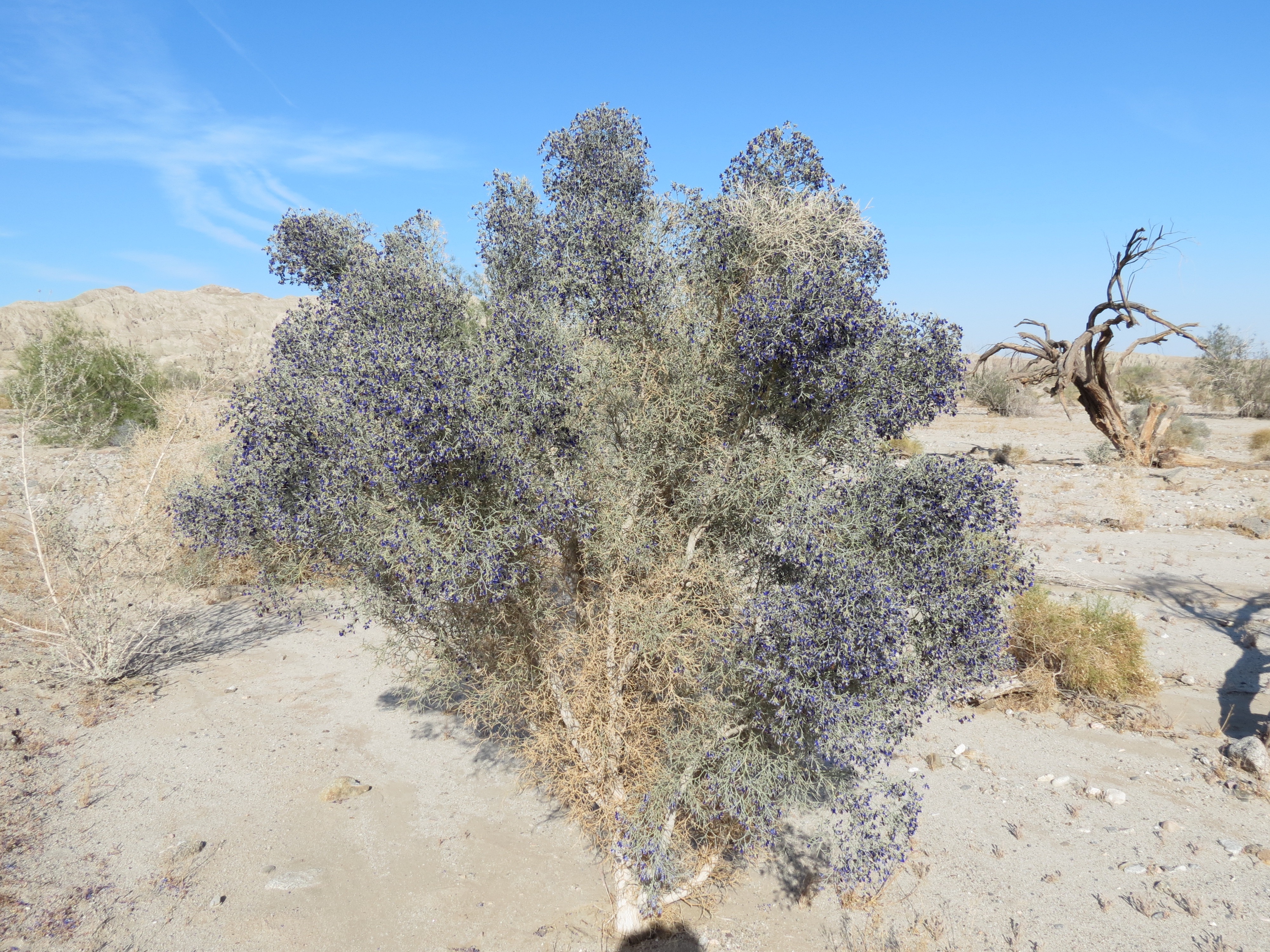
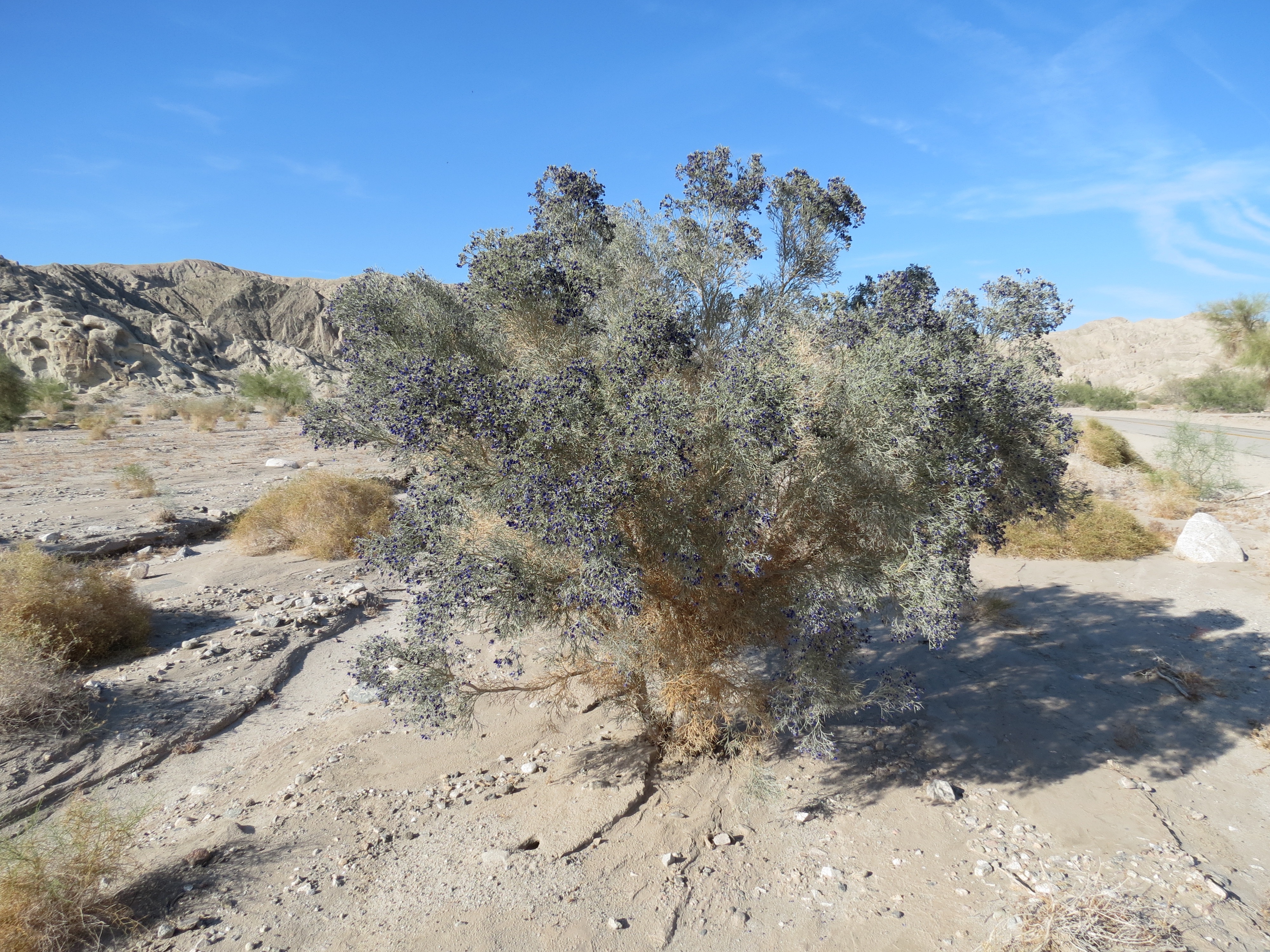
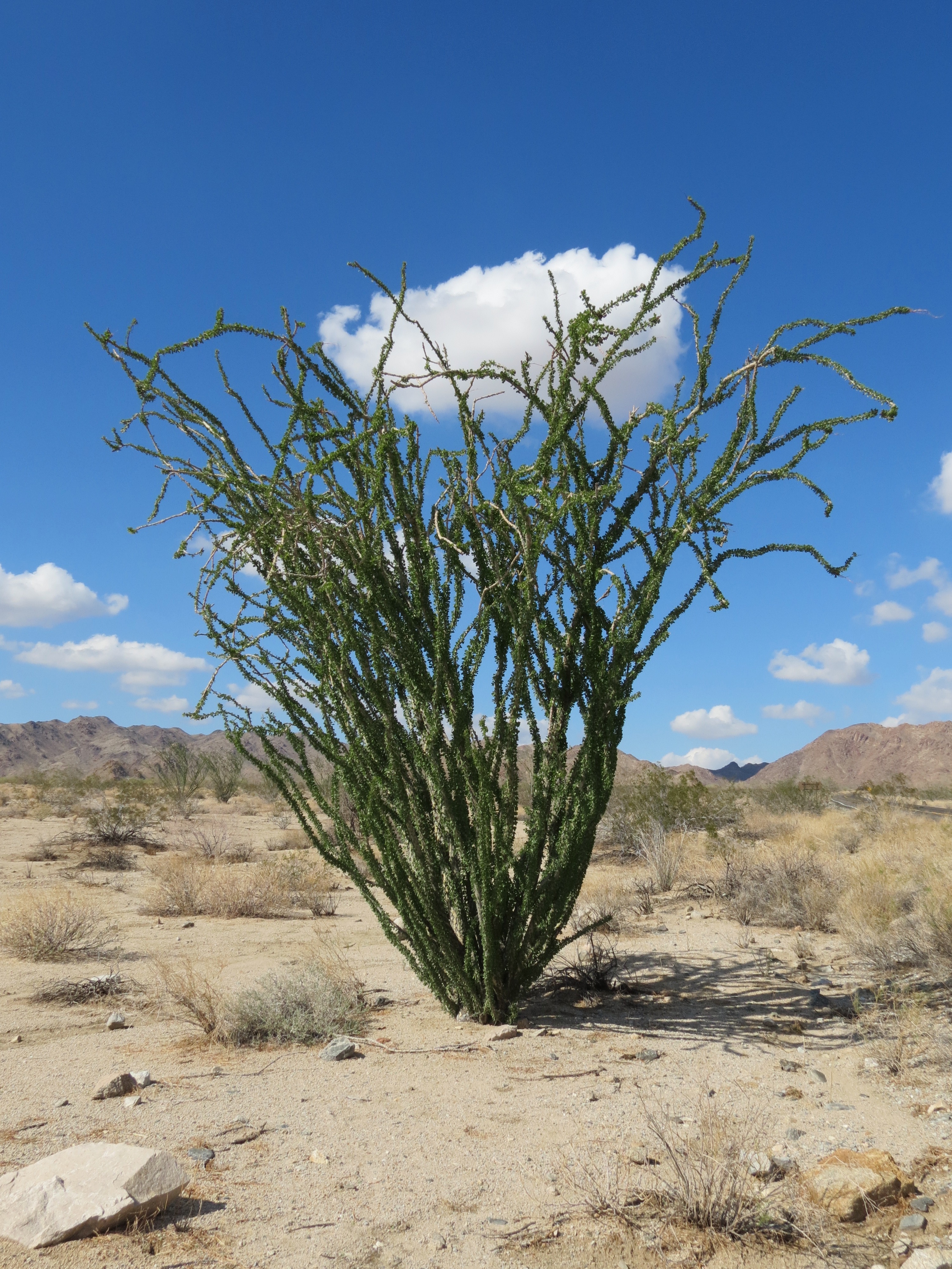
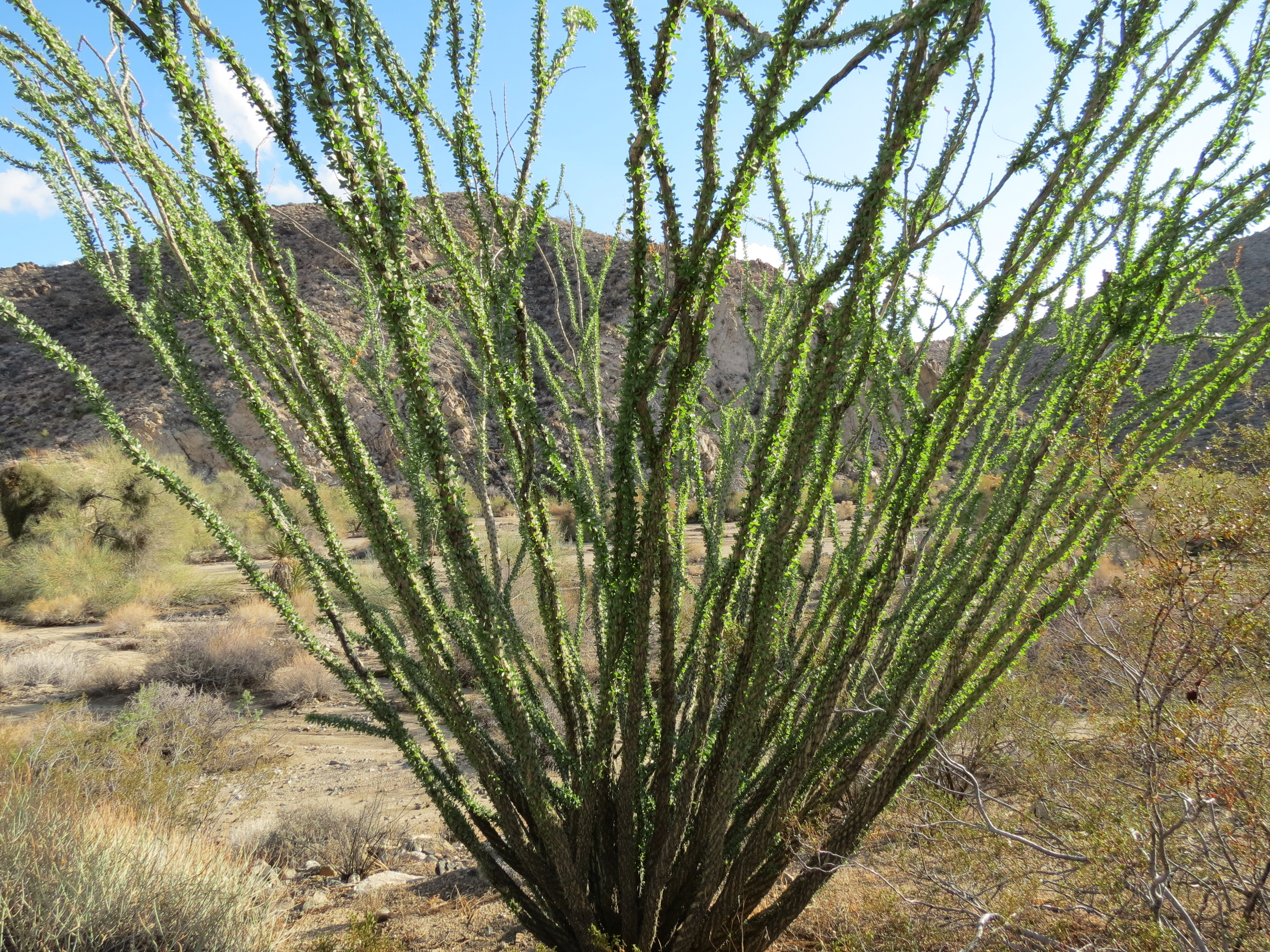
Along Box Canyon Road near Mecca, California are quite a few of these incredibly drought and heavy-metal resistant trees. In the five years that I've observed them, they have never flowered. But thanks to the geoengineers and the heavy (but toxic) rains they gave us, this year is a "super bloom." There are some washes 2000' higher in Joshua Tree National Park where a handful of these trees are growing. Almost everything around them is dead, but these guys are hanging on. By no means are they thriving, but they, remarkably, still have a pulse. The bees were swarming on the purple flowers. It was so nice to see some regenerative activity. But looking at the aerosol engineering overhead, and the ongoing decimation of our skies (and associated respiratory and soil microbe functioning), I don't see much of a future for their offspring. Before the bloom, I would run my hands over their tough bark and foliage. What a hardy and incredibly well-engineered plant. Click here for a minute long video of these purple-blossomed miracles. There are mostly yellows and oranges in the desert. I don't think I've seen such dark purple blossoms on anything else. 5/18/2017


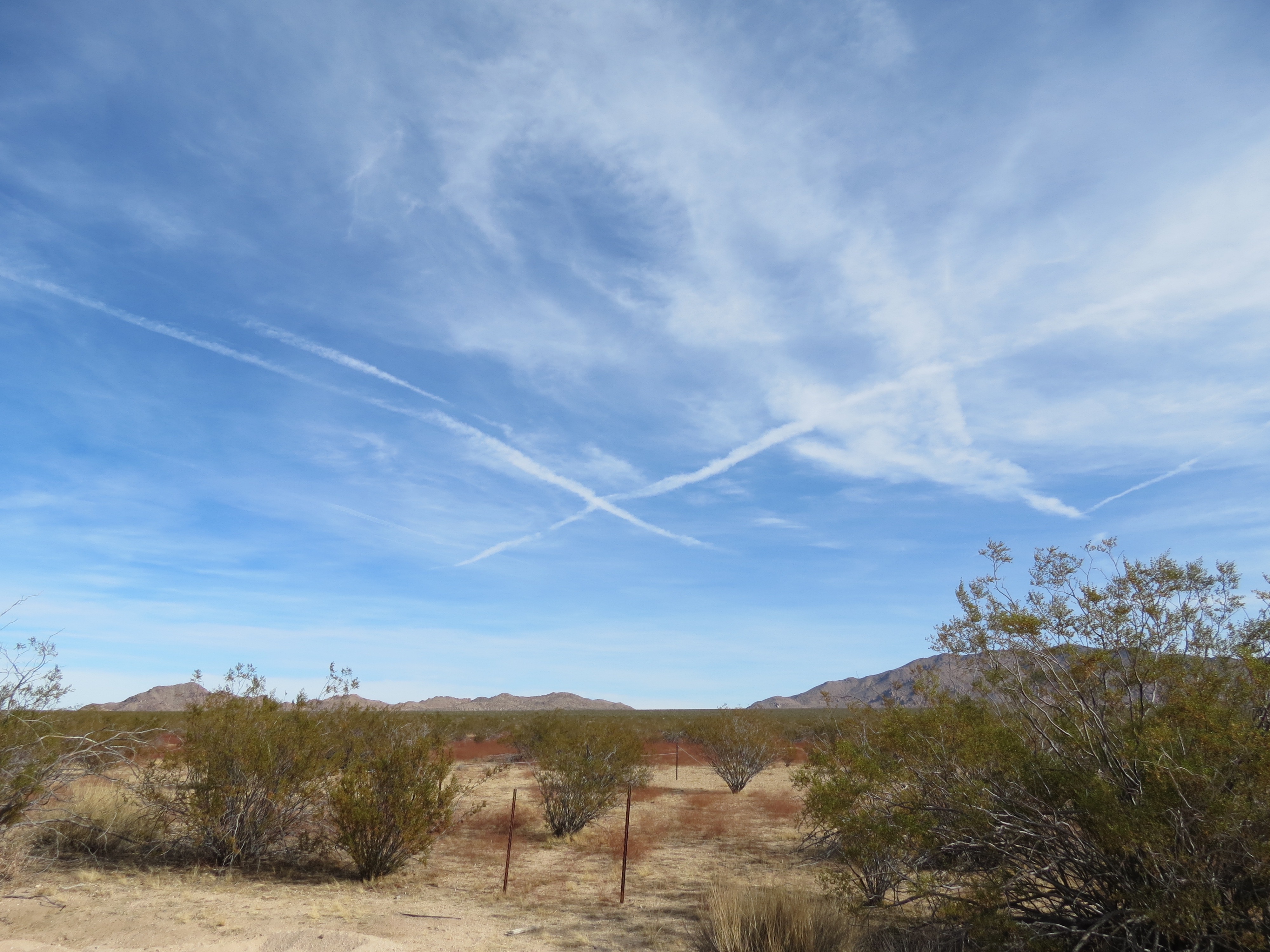
Heavy aerosols over the Cottonwood Mountains and Eagle Mountain. There is an X pattern that has repeated on different days over the same location. The vegetation is dying. I figure there is just another four years of tolerance in the hardy Smoke Trees (small woody shrubs) up here before they die from the heavy metals, soil toxicity, lack of rain and UVC exposure (on account of depleted ozone layer). I walked along some lonely wash areas that may not have had rain in 6 months, and there were barely any snake trails or paw prints. Life is ebbing here for sure. 11/21/2017
Narrated video (11:57, 681 MB) of Cottonwood Mountains and heavy metal aerosols. Plants are dying, bees are dying, humans and dolphins are coming down with Alzheimer's in record numbers. People who don't trust their own eyes and recognize this destruction for what it is are part of the problem. Joshua Tree National Park is becoming a crematorium with intense UVC's and plant die offs. Park Rangers lie about the spraying. Did they get a memo from the federal government that speaking out about this wholesale destruction would be a violation of their employment agreement? A former NASA contractor who now informally monitors UVC levels in the US has proof that the WHO statement that the DNA destroying UVC radiation is being blocked by the atmosphere is a lie. The nanoparticulate matter being injected into the stratosphere is binding with rising oxygen and preventing it from reaching and replenishing the ozone layer where the O2 is split by UVC and then combines with free O2 to form O3 or ozone that is stable in the presence of UVC. Saudi Arabia has arrested numerous billionaires on corruption charges. Many of these men also are pedophiles who traffic in children from all over the world. Right now US special investigators have up to 2000 sealed indictments. The hope is that these indictments will be directed at not just financial corruption, but human trafficking at the highest levels. If these global pedophile rings can be brought down, my hope is that an end to the global spraying program -- which is a similar insult upon innocence and the entire web of life -- will be close at hand. As long as precious metals are suppressed, children are trafficked, and blue skies are desecrated, no one on Earth can be said to be free. 11/21/2017
Narrated video (1:20, 76 MB) of chem clouds above Eagle Mountain in Joshua Tree. The Satanists behind this activity must be stopped. 11/21/2017
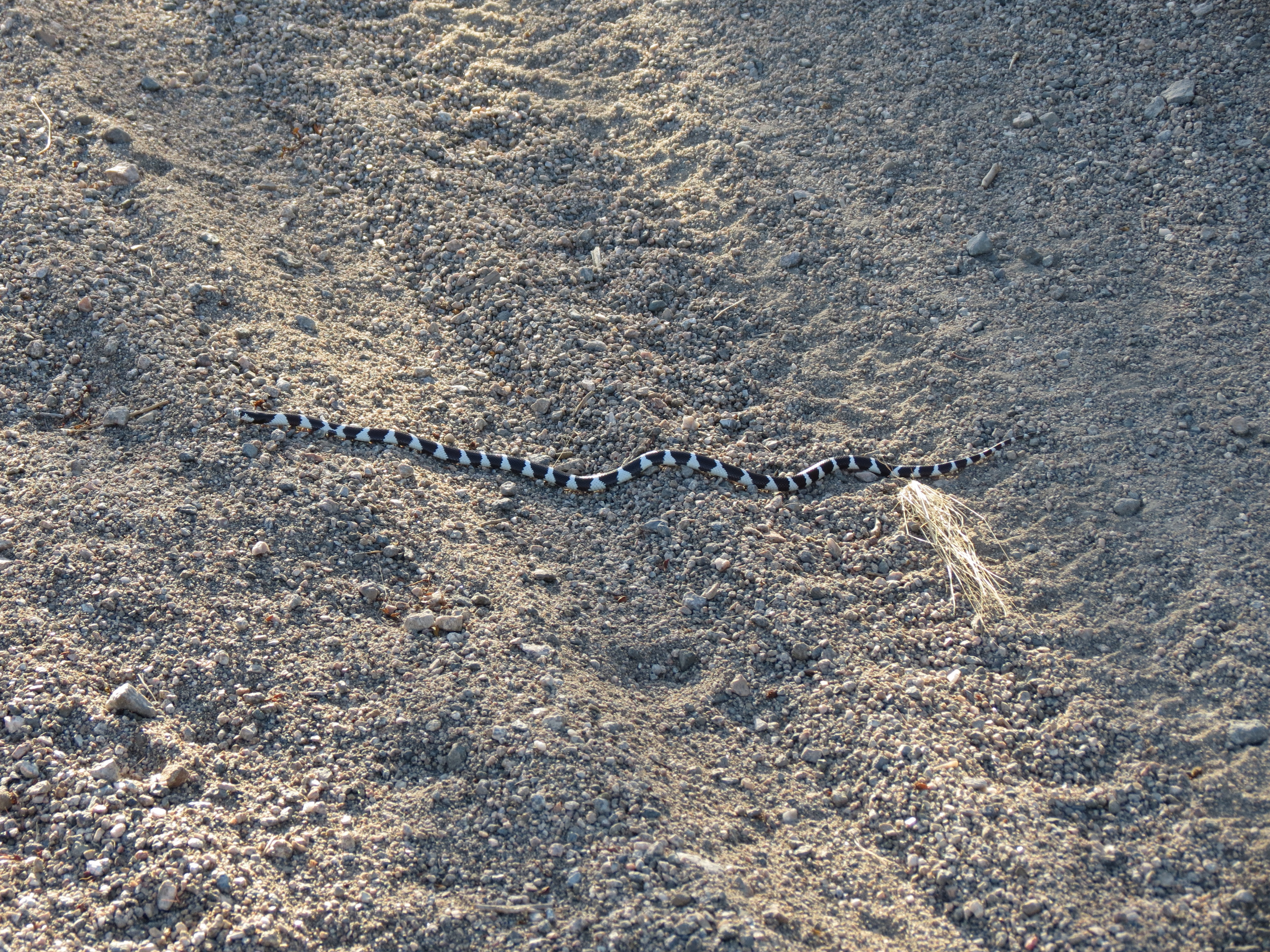
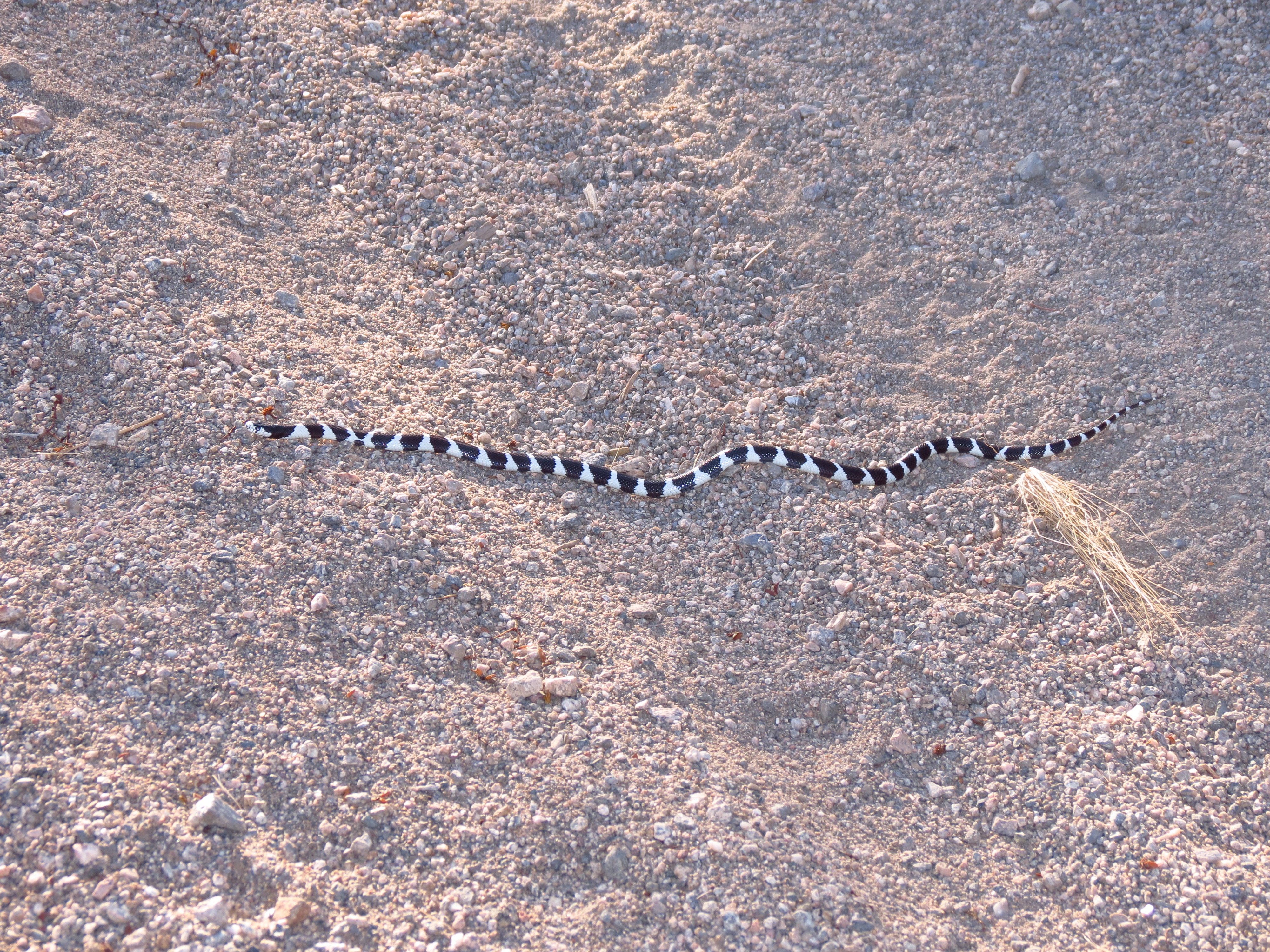
Black and white, "adult phase" California kingsnake (Lampropeltis californiae) slithering across Pinkham Canyon Road in Joshua Tree National Park, about three feet long, May 14, 2018. Most of these snakes are shy and do everything they can to avoid a human encounter. But one not too long after this pic was taken, about half the size, cocked his raised head looking at me and rattled his tail to the best of his ability. This must be learned behavior based on the successful rattlesnake strategy. It doesn't work for me, however. If you are shy and nonvenemous I will leave you alone. But if you are poisonous, loud, territorial, and appear ready to strike me, well, you've got a rock coming to your head in short order. I've probably killed 150 rattlesnakes in the 13 years I've been hiking in California. But this past year I've seen a marked decline in their numbers, so I've taken a second look at my aggressive removal strategy and have let the last two sidewinders and pacific rattlesnakes I've encountered go about their lives, despite what I view as their mean demeanor. Actually, the sidewinders in Joshua Tree are pretty shy, though they are pit vipers. The other ones coil up and don't always want to move off the trail. I am happy to report that I've seen an increase in the number of kingsnakes in Joshua Tree. Here is a California Kingsnake Care Sheet (*). I had no idea that babies were 8-10 inches long at birth, although I've seen them this size along Pinkham Canyon Road. Here is a general fact sheet (*).
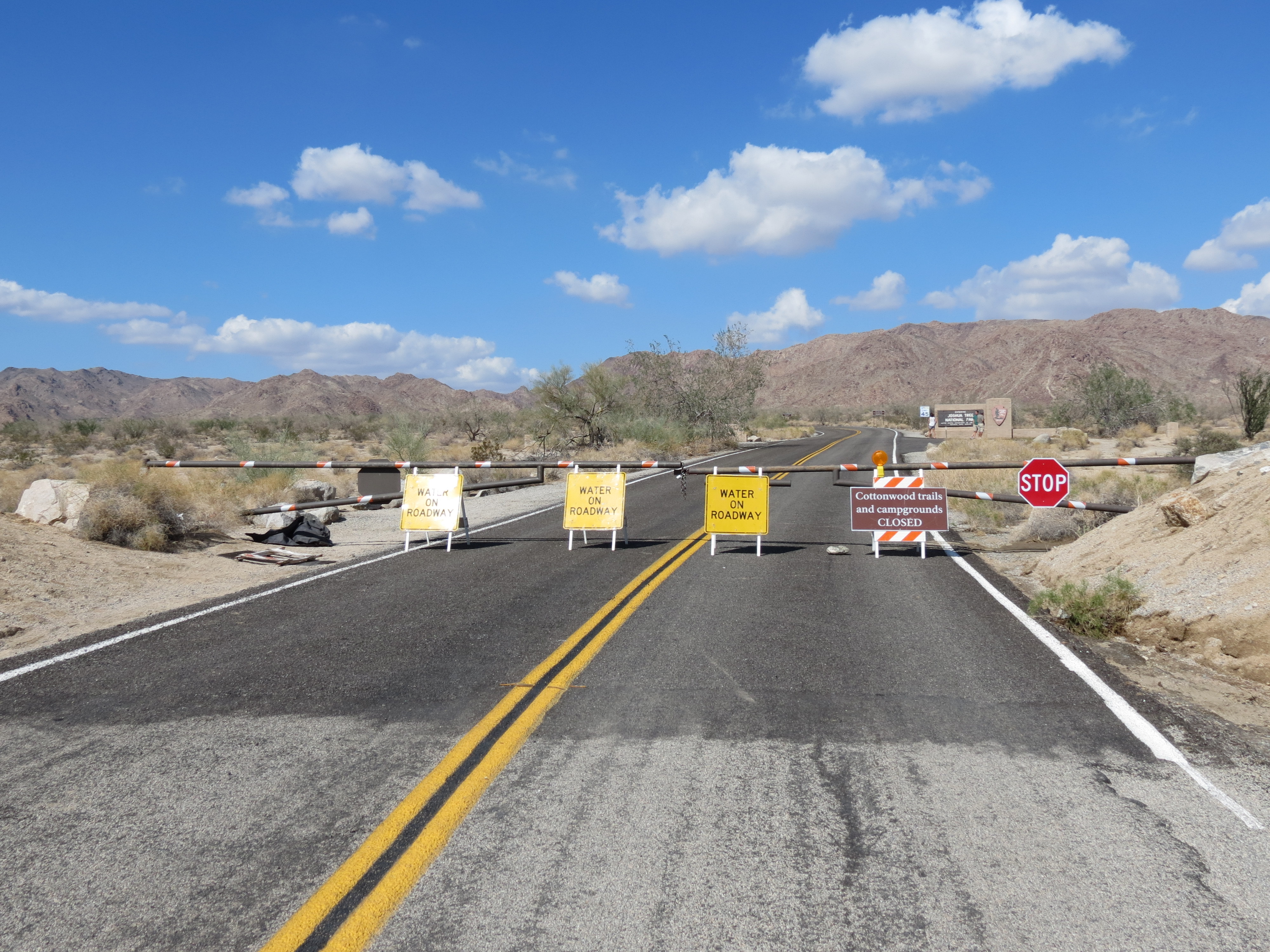
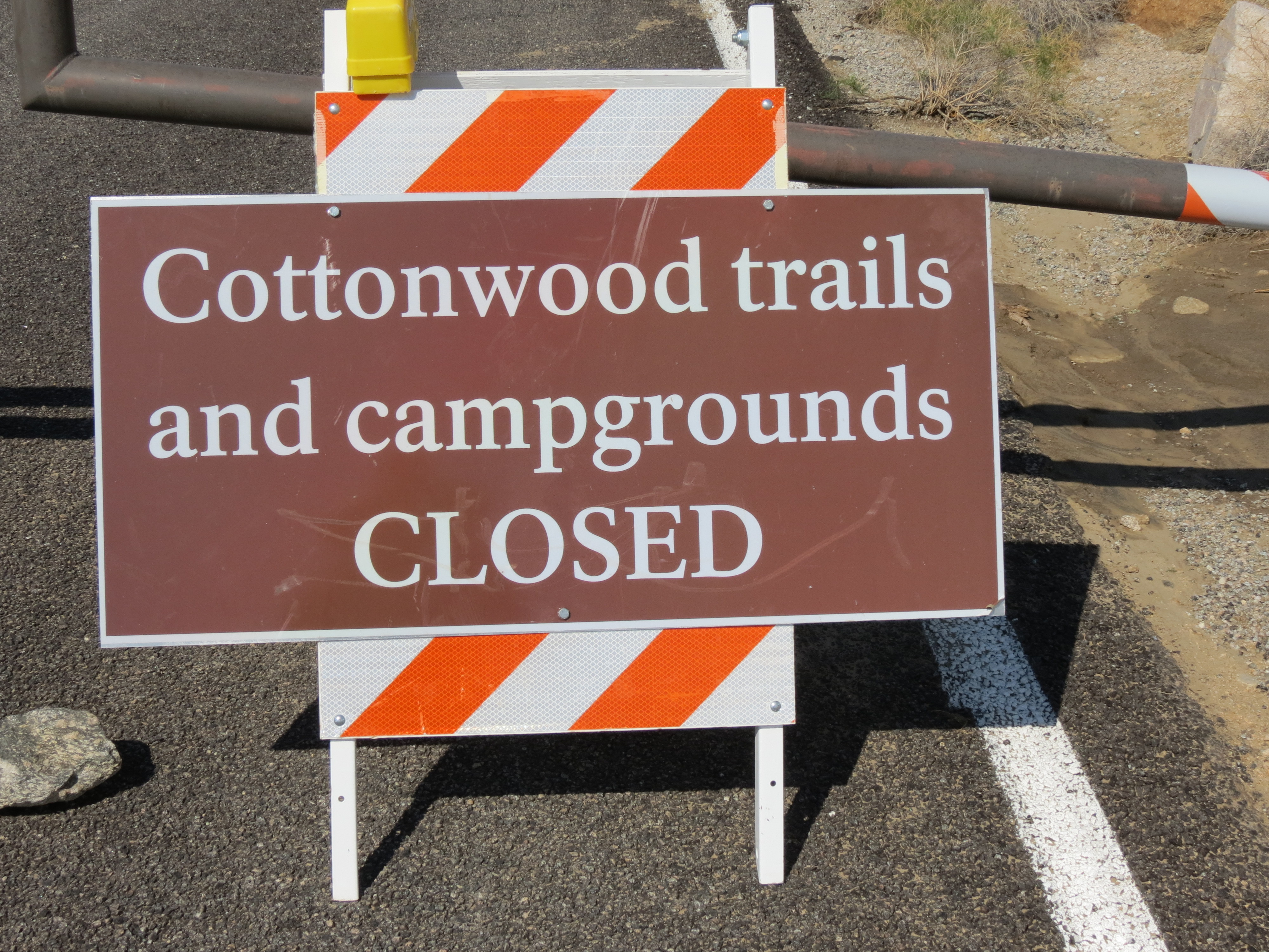
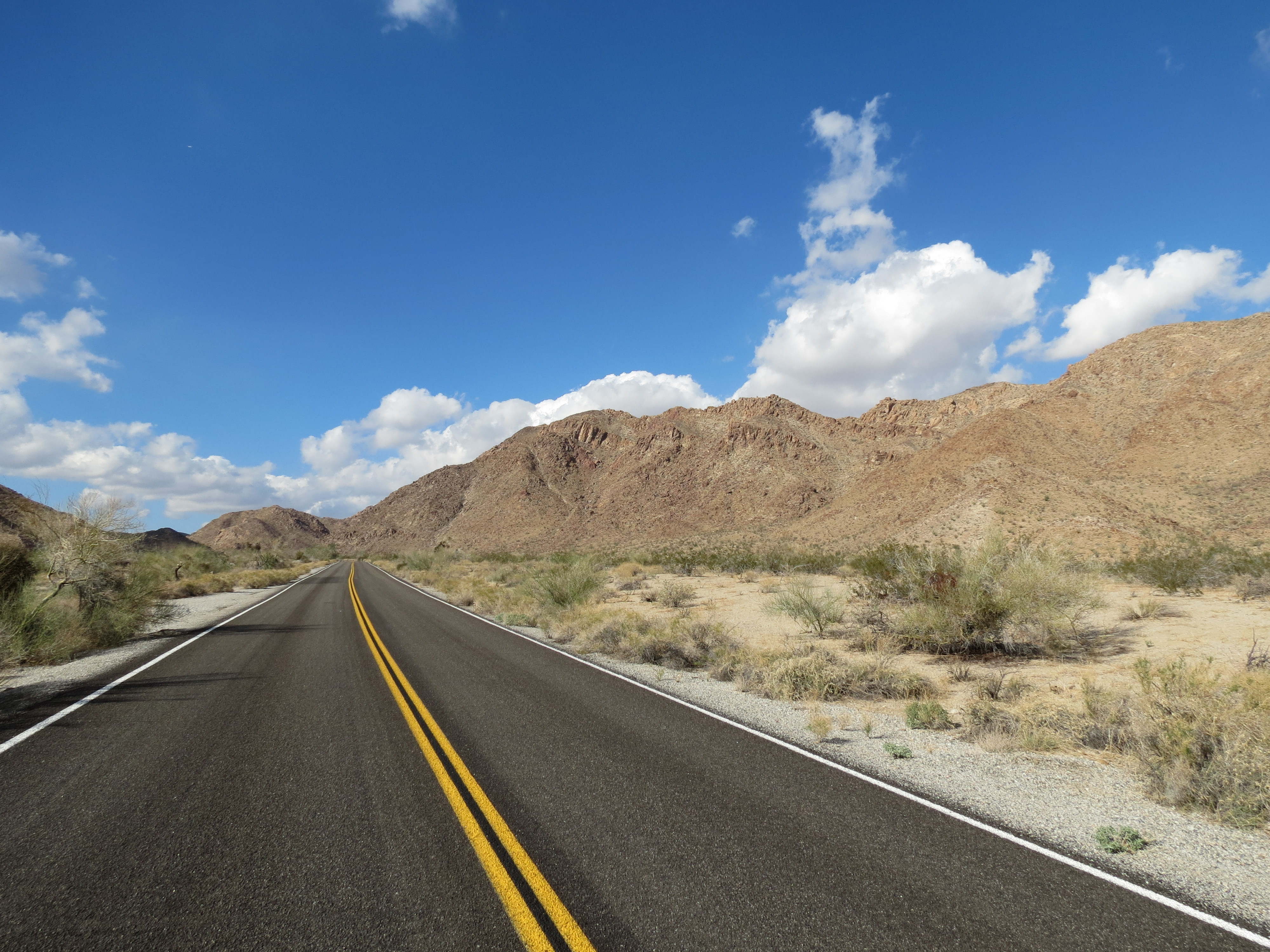
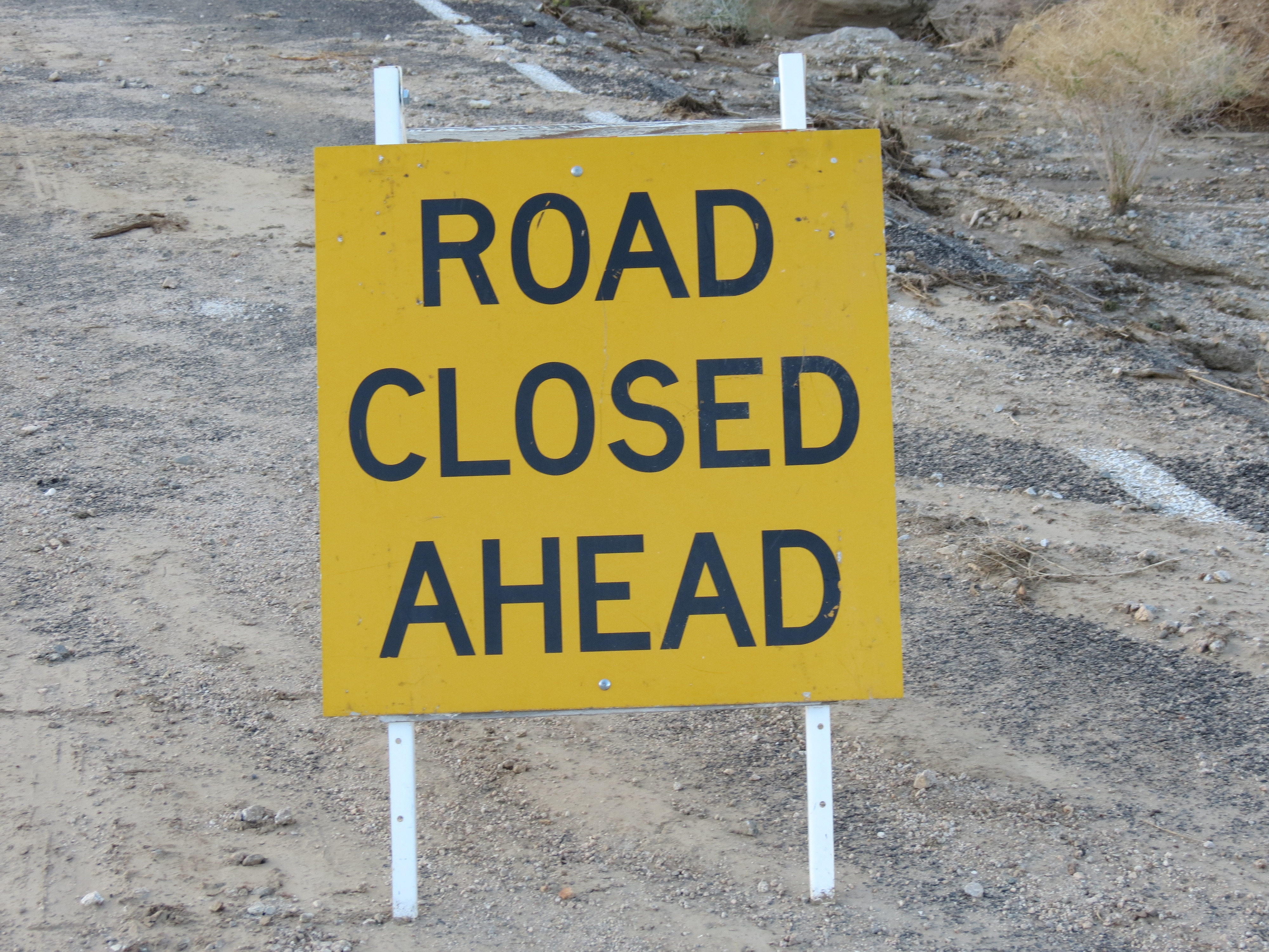
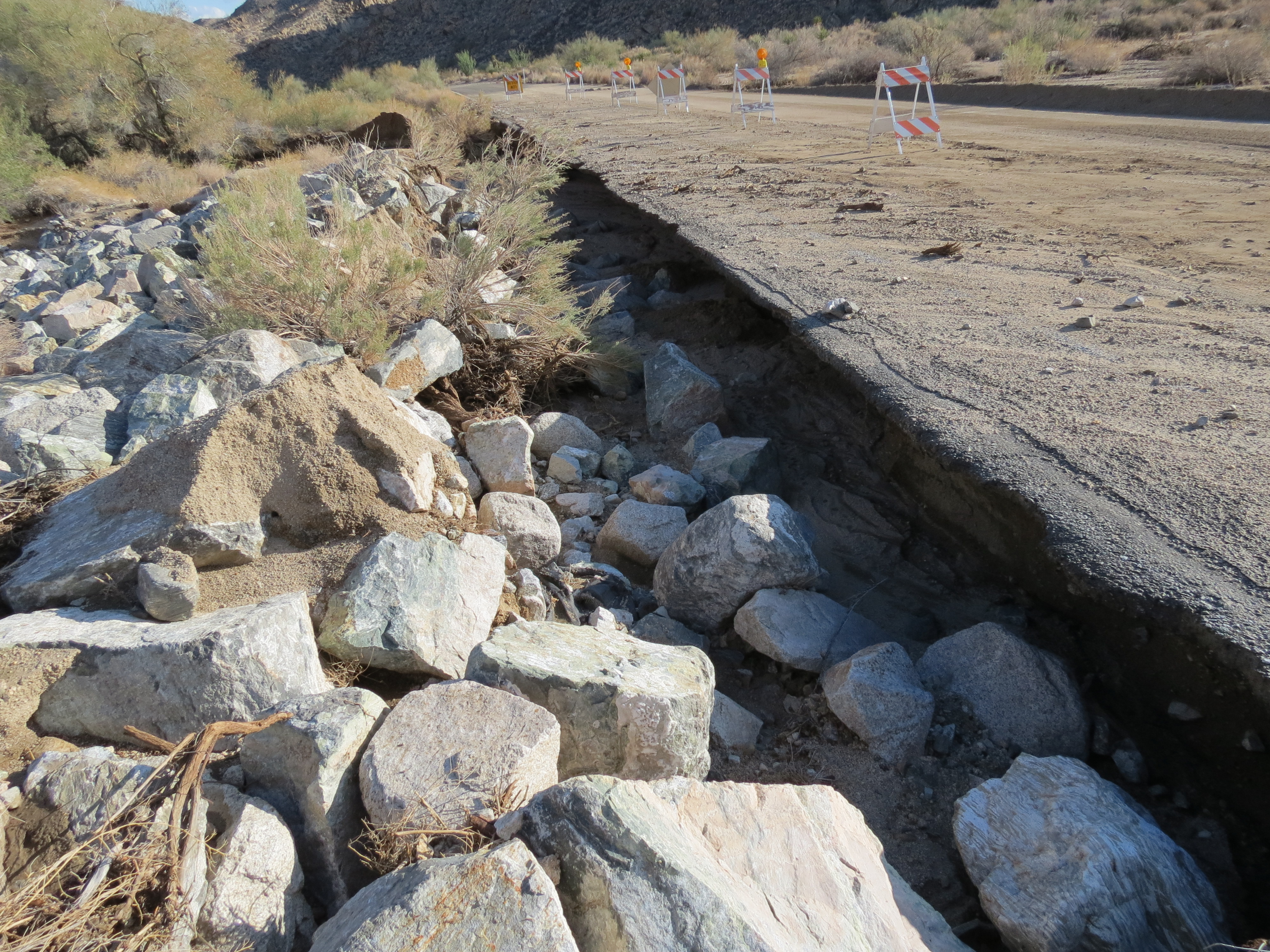
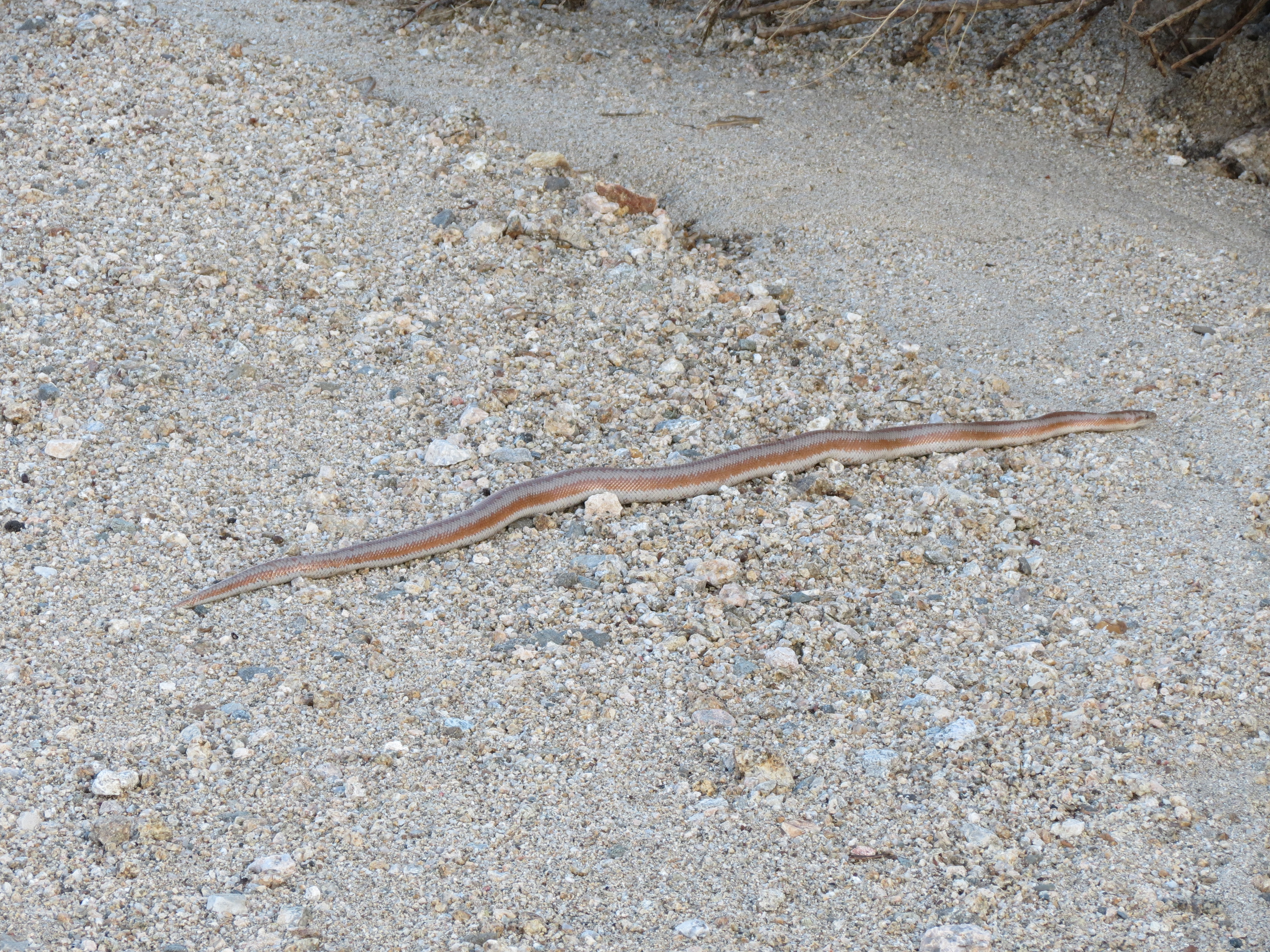
1. Closed gate and road closure signs near Interstate 10 and Cottonwood Springs Road due to 1.7 inches of rain that fell in one hour two nights earlier. 2. Cottonwood trails and campgrounds CLOSED. 3. Cottonwood Springs Road view north toward Cottonwood Mountains. 4. Cottonwood Springs Road view south toward I-10 and in the Orocopia Mountains in the distance. 5-6. Ocotillo with new leaves, preparing to bloom, due to smaller rain one week earlier. 7-8. Road Closed Ahead sign with several feet of rock and sand support having been washed away underneath the asphalt road. (The asphalt collapsed a few days later, though one lane remains serviceable for light traffic.) 9. Some type of red desert garter snake, stretched out in a wash area near sunset.
Video (5:16) of red snake in wash with commentary about a new hat I bought. 2018.10.14.
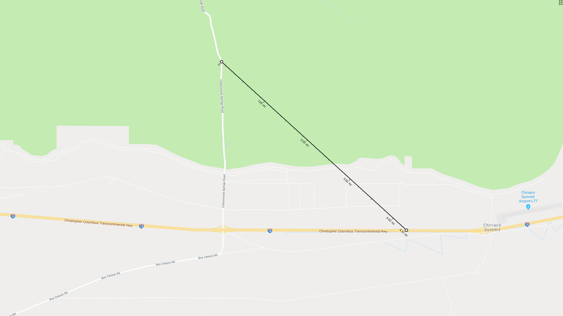
RE: Pics 1, 3, and 4: I am happy to report that my spiritual antenna has been quite functional recently, at least with respect to registering the increase and decrease in EMF exposures as I walk up Cottonwood Springs Road from the gate at the national parks sourthern entrance. After a mile and a half or so from the gate the land changes from a gently sloping plain to the Cottonwood Canyon. About a half mile into the canyon's narrowing arms you no longer have line of sight exposure to the cell tower near Chiriaco Summit about 4.3 miles away. While it takes a while for the lack of exposure to create more harmony and calmness in my energy system, an hour or two later, having recalibrated with a thirty minute rest in a protected spot, on my return journey the increased exposures register quickly as pain in the pineal, pituitary, brachial nerves, thymus gland, and thyroid, as well as burning ears, swelling in the brain, and a pervasive discomfort that makes thinking and emoting difficult. Walking on the asphalt can be punishing to the knees, especially if you are thirty pounds overweight. So the last night I was up here I took shorter, slower steps both going up and coming down. The incline does get steeper in the canyon section, so the exercise benefit increases.
2018.10.30. I was laying down in Joshua Tree last night. I often do this at the turnaround point, wherever that might be -- one, two, or three hours into the hike, depending on how far I am going. This was a different spot than usual, closer to soft sand and wash areas than I normally am. (Higher, hardened, rocky areas tend to be more snake-free.) After 15 minutes I decided to sit up and I immediately heard a hissing sound. At first I couldn't tell if it was a distant noise or a close one. I turned on my headlamp to see a rattlesnake just six feet from me coiled and hissing. I was shocked. I thought it was extremely good fortune for me to have sat up when I did. But what was this snake doing so close to a large mammal like me? Had he been any closer I suppose he might have bitten me when I moved. But I thought rattlesnakes were smarter than that, and that they didn't bite in self-defense unless truly provoked? I don't know, and I didn't want to discover the answer to that question by trial and error. So I stood up, found a few nearby rocks, and tossed them squarely on his head, neck, and body. Dane Wigington of GeoengineeringWatch.org said in a recent radio address that these snakes should be left alone. Ramana Maharshi wouldn't have killed so many like I have. I don't know. It is pretty instinctual for me and I don't have many qualms about it.
Video along Pinkham Canyon Road showing the first aerosol spraying after a week of fires in the Santa Monica Mountains and the Sierra Foothills near Paradise, California. Typically when there are major Luciferian events the spraying stops, I suppose because of the heightened public attention placed upon the weather and the environment at these times. But as soon as the fires recede from public consciousness, the spraying kicks up again. In the video I discuss my disappointment in the Trump administration. Almost 100% of his leadership picks have been Goldman Sachs, Rothschild, neocon, Monsanto, Zionist, and dual citizenship people. Ron Paul used to say, "Personnel is policy." Well, how can any good policy come from a group of such compromised people? MAGA -- Make America Great Again, Trump's campaign slogan -- will not happen until the spraying stops. The coporations behind the spraying, and all corporations not serving the public good, should have their charters dissolved. If the 20,000 engineers earning $200K-$400K per year working on Google's search function (the font of the censorship and control of information that is negatively impacting the public consciousness) have to lose their livelihoods, then so be it. • Desert rats are eating the yucca plants on the slopes of the Cottonwood Mountains. This is something that I have not seen before. The rats must be in a desperate state to do this. But it appears that the oils in the smoke trees are toxic to the critters, because they have been spared, though the rats are starving. There are nearly no insects left in Joshua Tree. Worlwide, insect biomass is down ninety percent. This is due to the spraying. The birds that depend on insects are disappearing. There are estimates that there will be no more mammals in the wild in a short seven years, by 2025. Where the insects go, humans are not far behind. 2018.11.11.
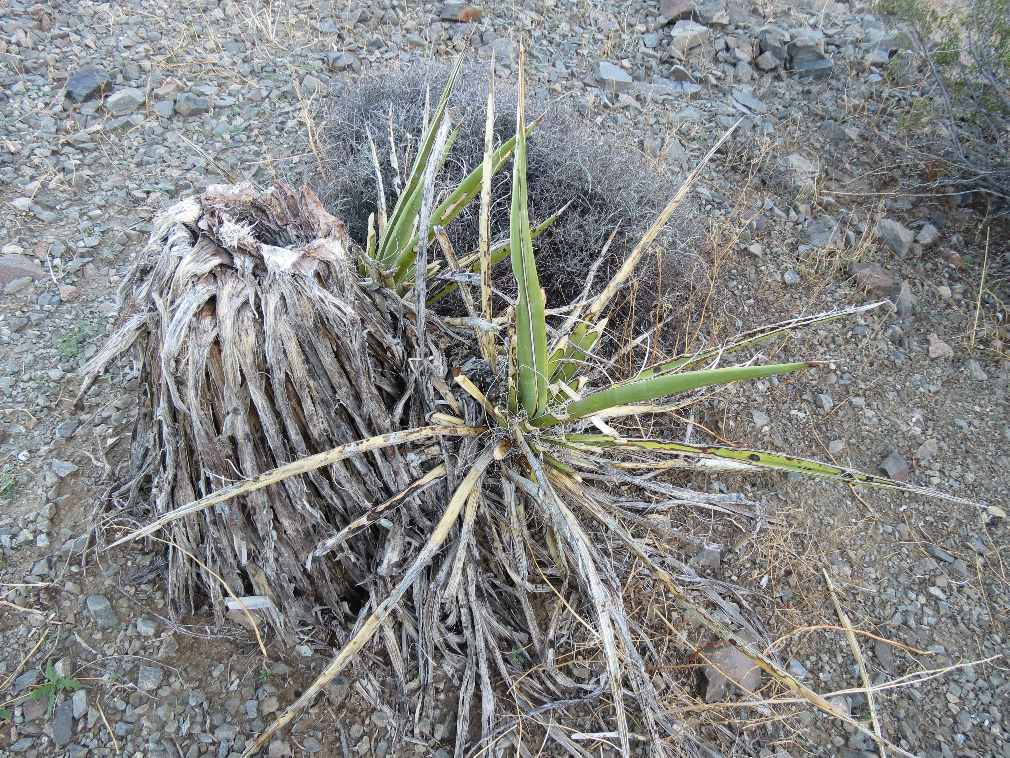
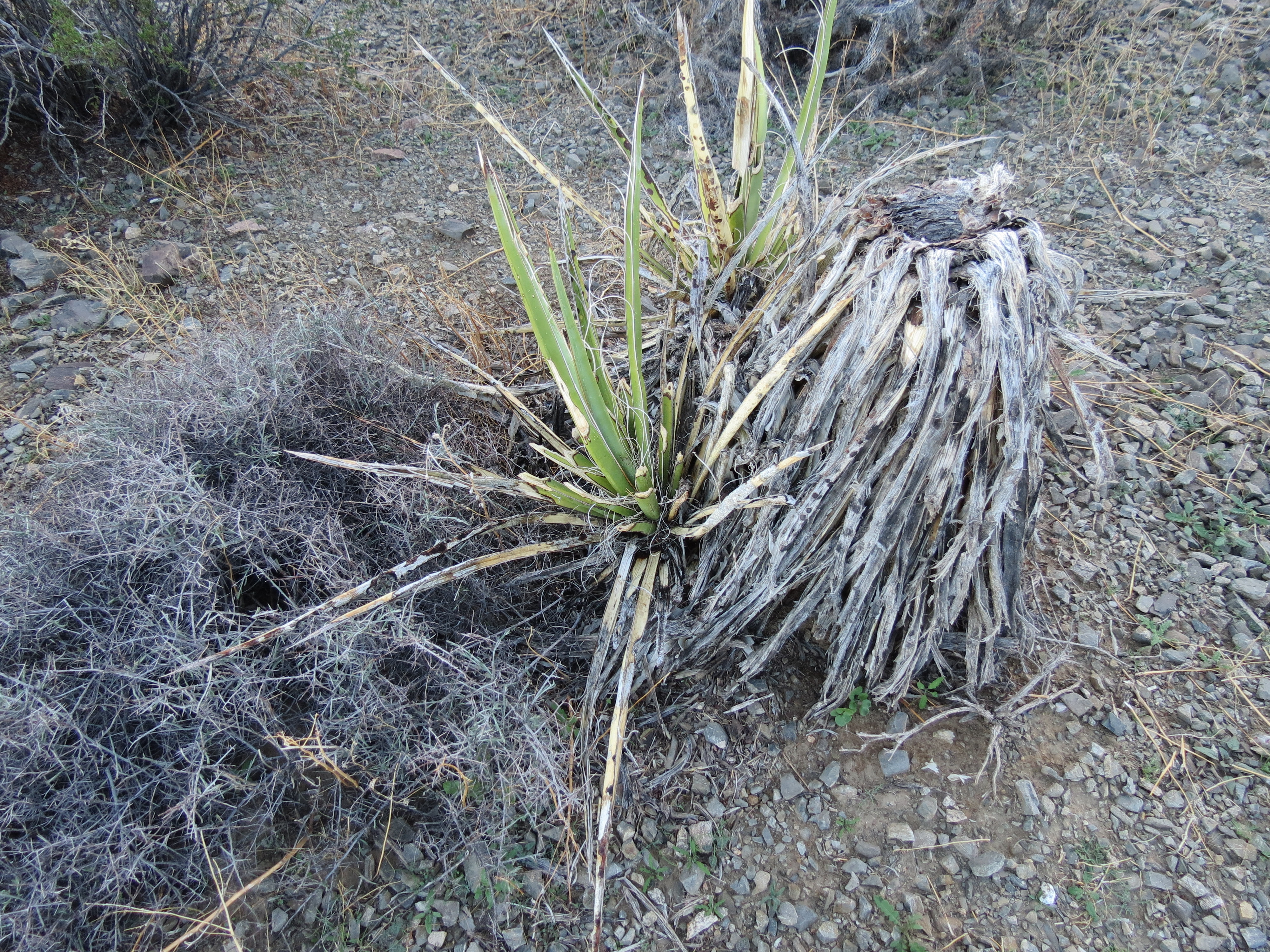
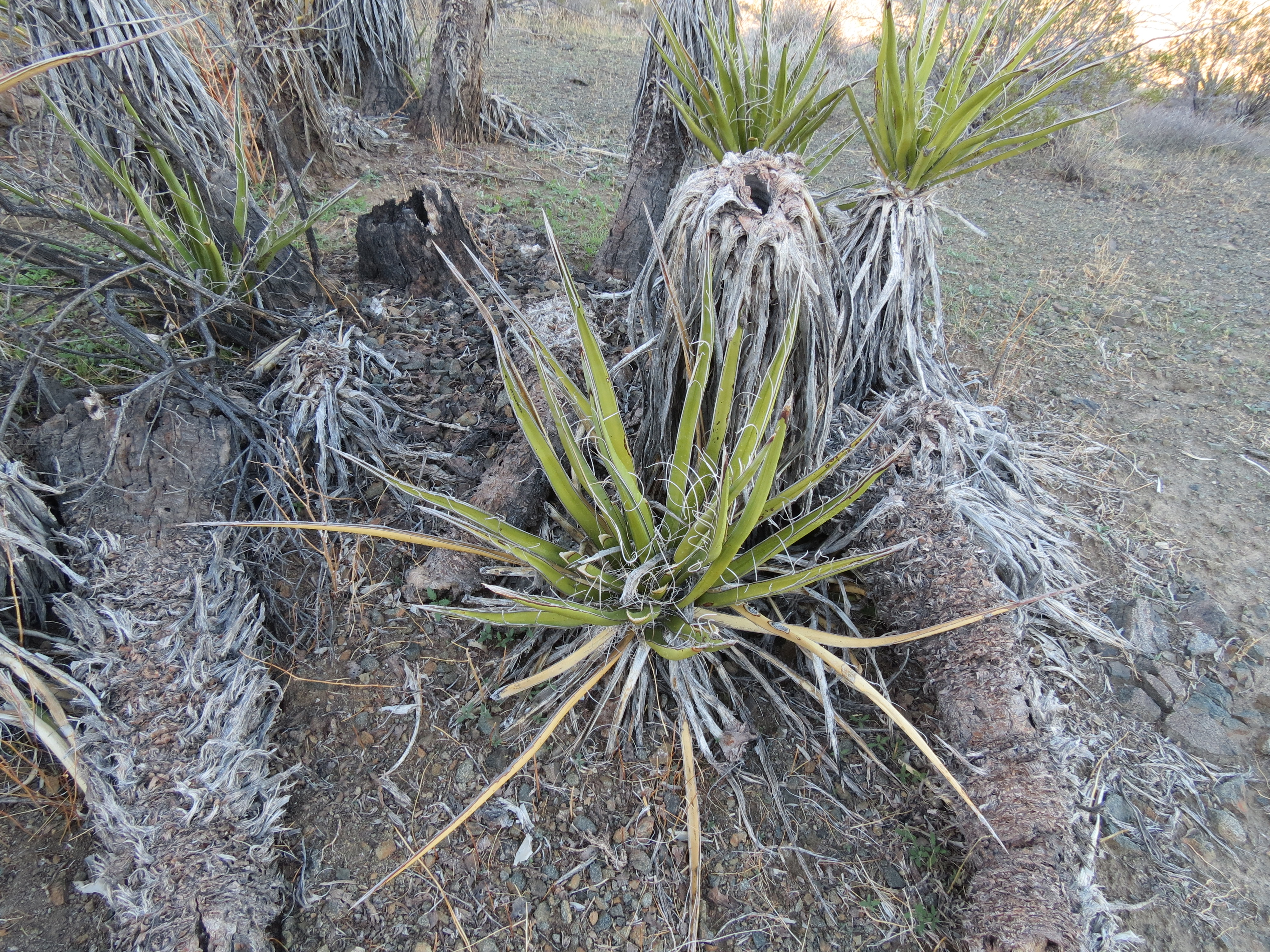
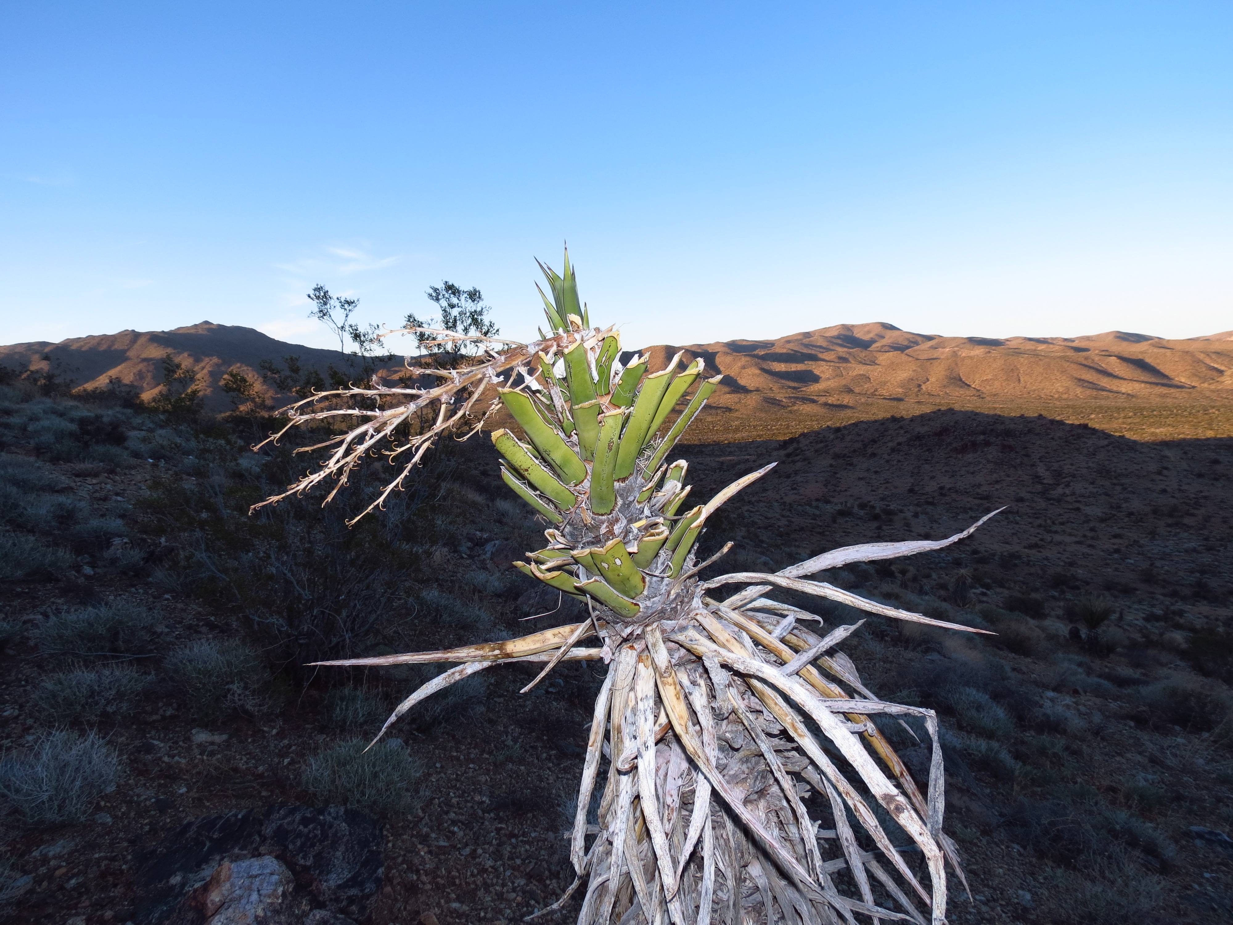
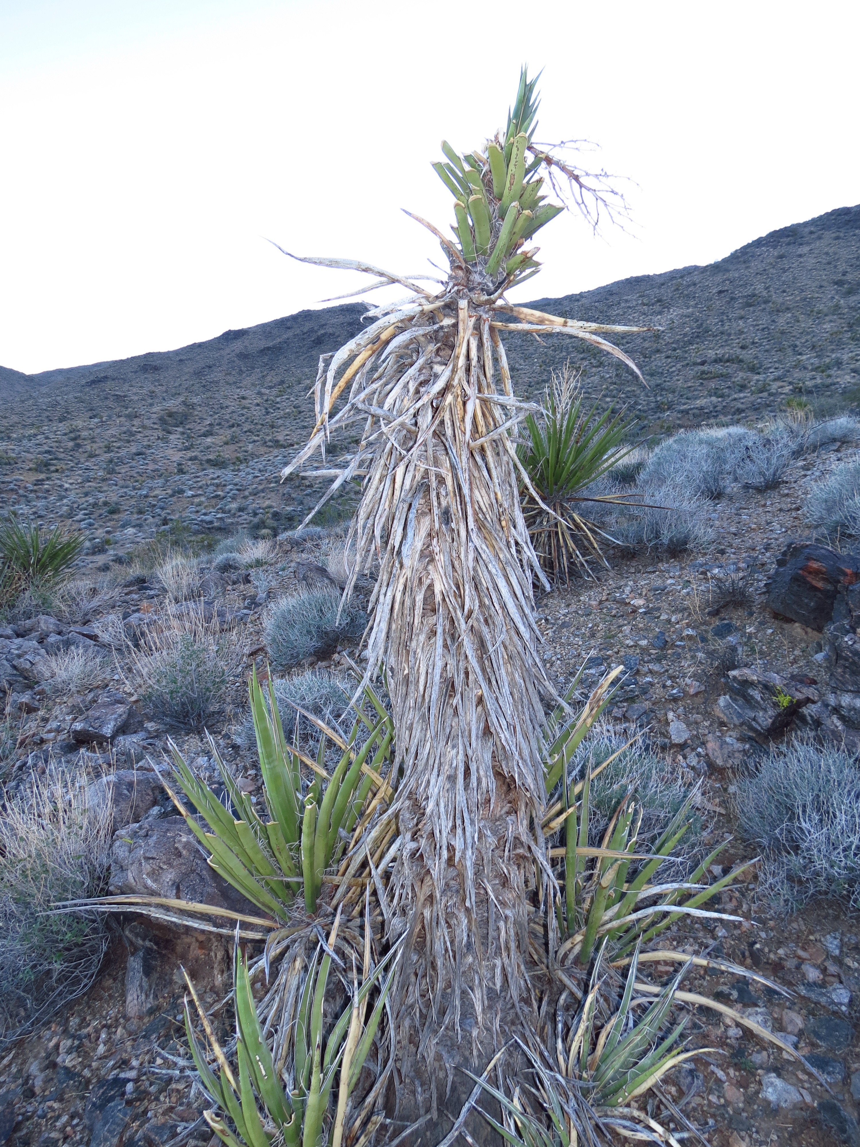
Pictures of yucca plants on the slopes of the Cottonwood Mountains that show signs of being eaten by desert rats. I've never seen this kind of strange damage to these hardy plants in the past six years that I've been hiking this area. The extended drought and aerosol spraying have taken their toll and the rats are now desperate. I doubt the tough, dried out yucca stems offer much sustenance. It's the rodent equivalent of boiling shoes for soup during Hitler's seige of Leningrad. A few years ago I would hear the rats chirping from their burroughs under some of the larger rocks. But it is quiet now, as most have died. I see less than ten percent of the mice and rabbits that once were prolific here. 2018.11.11.
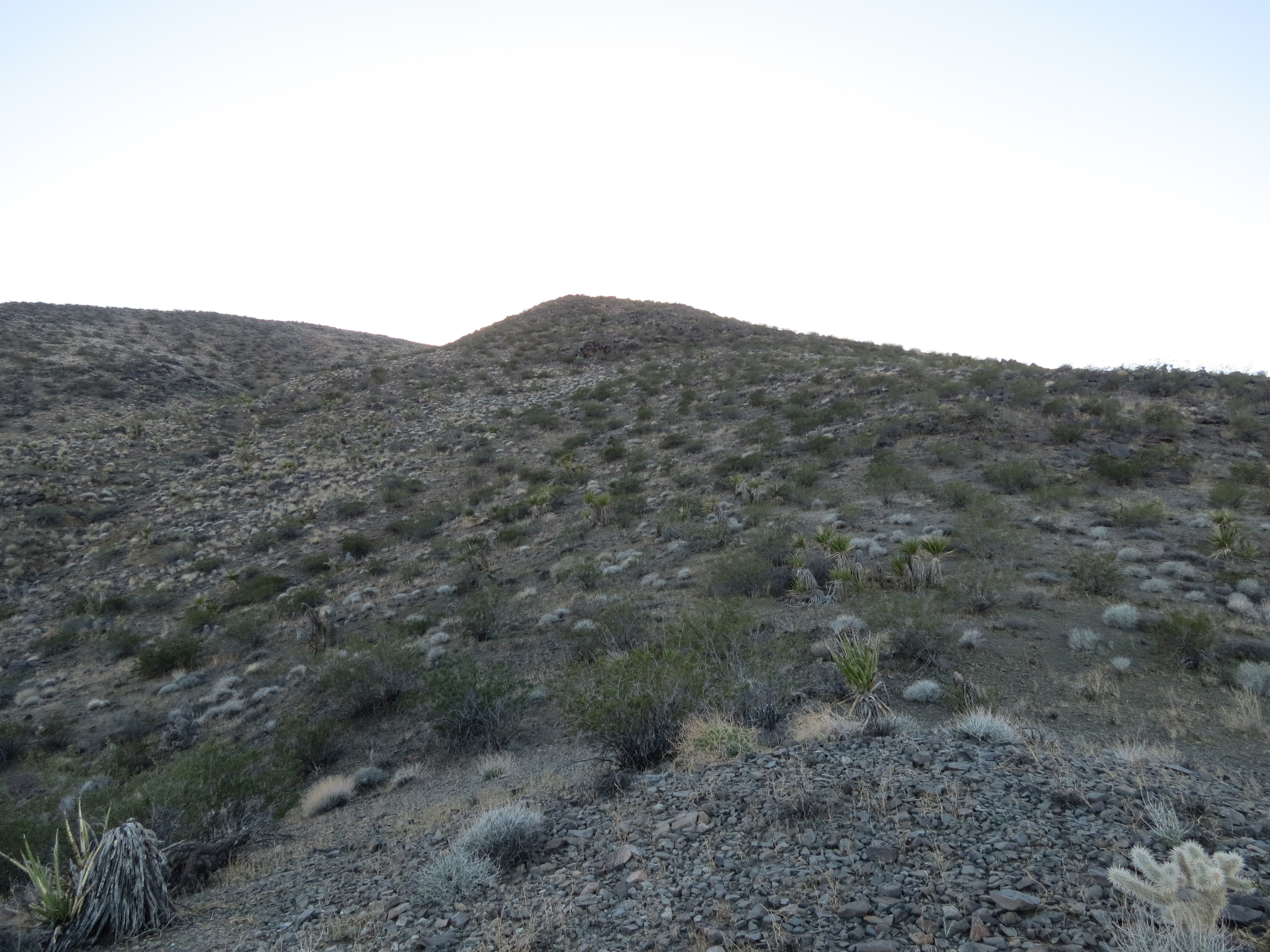
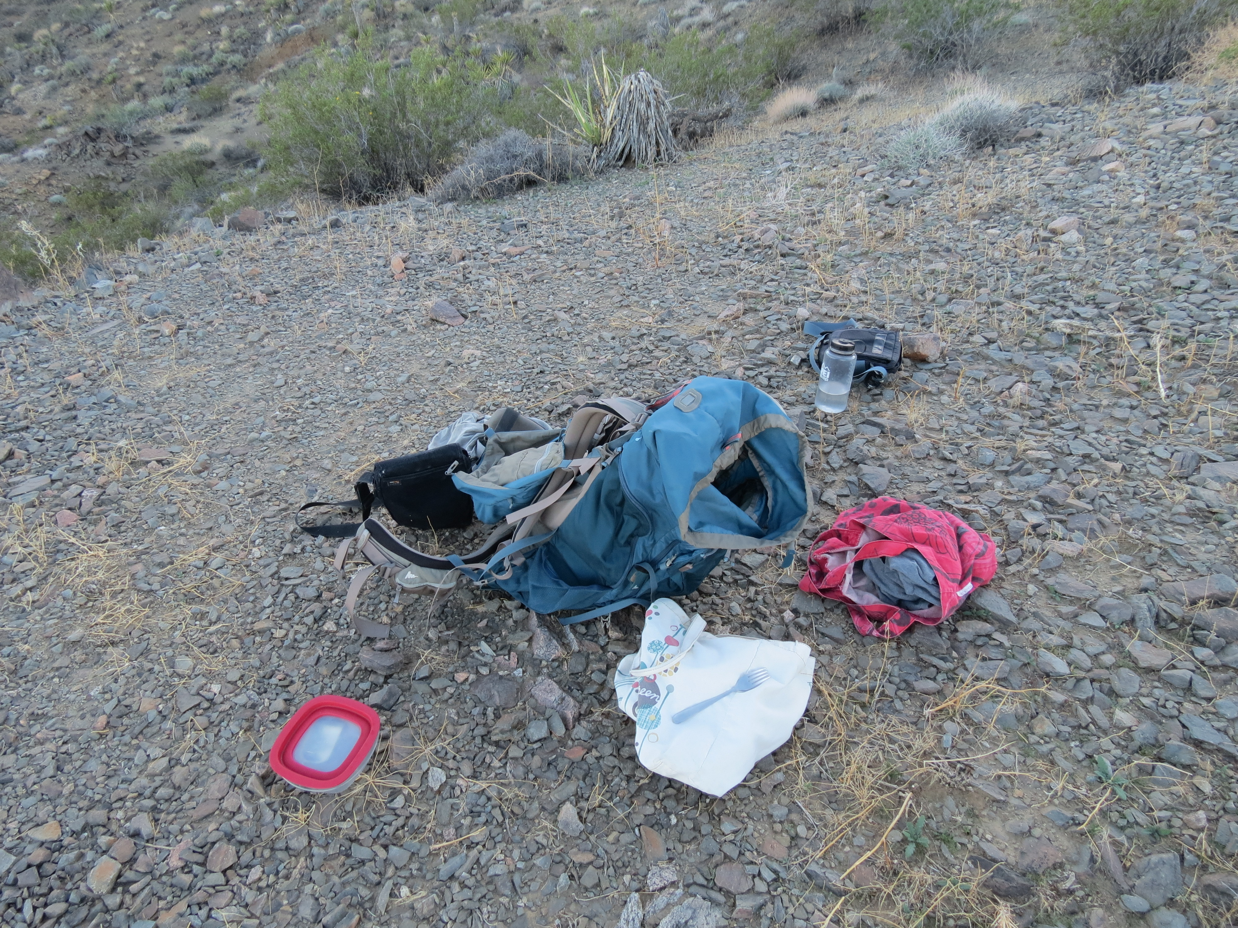
More pics from 2018.11.11.: 1) One thousand feet below the summit of the Cottonwoods. The top might be one hour and 1.75 miles from where I am at this location. I have to start earlier in the day if I want to go that far. As it is I am about five miles and two hours from my car. 2) My Gregory Baltoro 65 liter backpack. What a mule it is. I can carry the belongings of an entire family in this thing. I have an Eagle Creek brand shoulder bag for my headlamps, gloves, and hat. There is my red Trader Joe's canvas shopping bag for my extra shirts that I change into when the shirt I am wearing becomes wet from sweat. I use the plastic REI Nalgene water container for showering in reverse osmosis water, with refills from streams if they are running and I deem the water clean enough. I have a gallon of steam distilled water in stainless containers that still sit at the bottom of the pack. In the red BPA-free Rubbermaid container lies an empty sardine can that I had just consumed for a snack. I laid down here for 15 minutes. Just moments before arriving at this point the sun had been shining here. 3) View toward Monument Peak from the shade of the Cottonwoods. 4) Eagle Mountain in the distance on the right. My car is off in the distance in that direction. It's cool how the Cottonwood Mountains spend an hour or so casting a growing shadow over Pinkham Canyon and surrounding areas of Joshua Tree. I don't like to be too high on the mountain as it gets dark because the loose rocks become a real liability on the descent. There are some steep sections -- although no hands required -- that coming back down presents much more strain to your joints than going up. Slipping and sliding more than necessary over this terrain on the way down is not something I want to do unless it's an emergency. 5) There had been no spraying this past week as California was blasted with wildfire upon wildfire. I am sure some of it was caused by directed energy weapons and over-energized powerlines and smartmeters igniting gas lines and exploding flammable refrigerant (that is used instead of freon these days -- hmm, I wonder why?). The $20 million dollar estates atop Malibu were burned to the ground, masonry, toilet fixtures, and all -- part of the telltale DEW signature. But I guess that now that the fires are ebbing, it is time to ramp up the spraying of toxic fire accelerants like nanoparticulate aluminum again. When there is nearly no air traffic for days with clear skies -- and none of the planes that do pass over your head leave a "condensation" trail, then all of a sudden you have 50 overflights that result in a solid canopy of aerosols, you know that this is a military or corporate-military program.
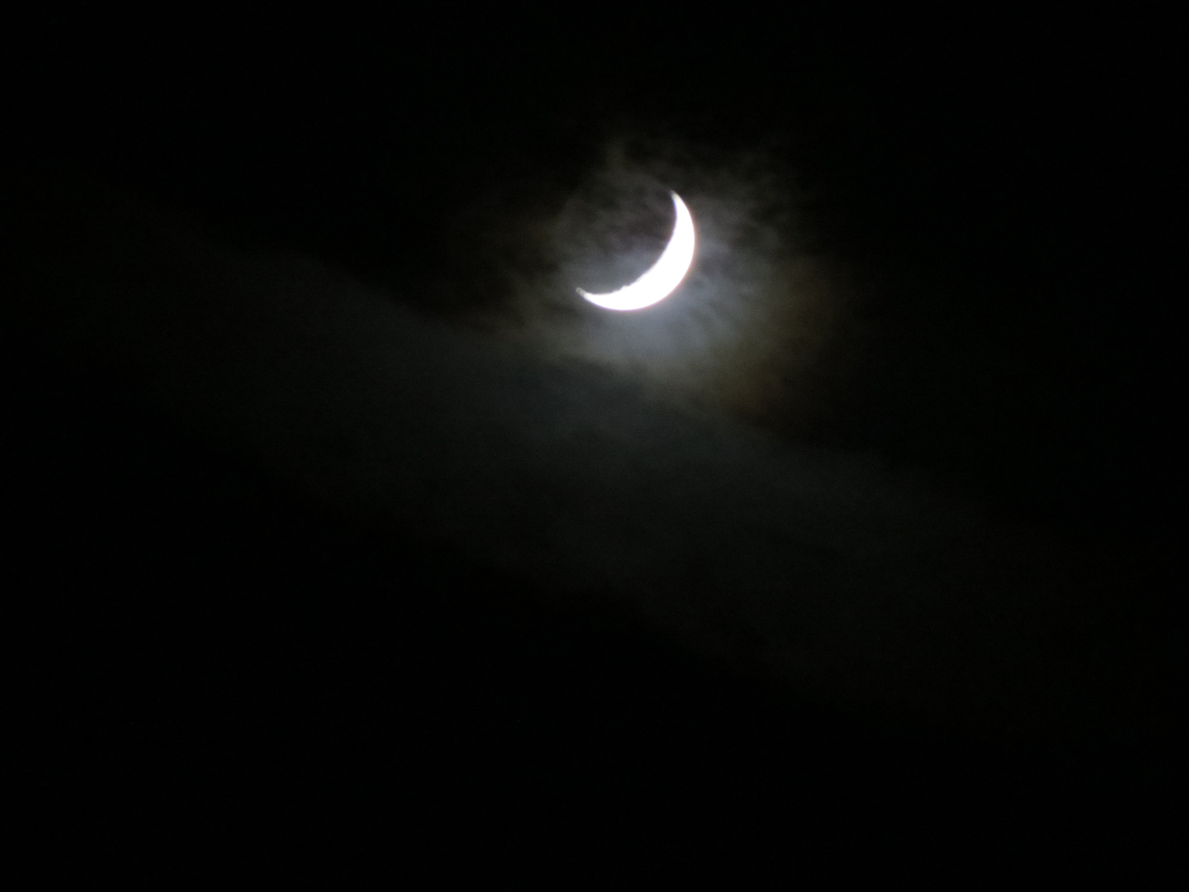
6) Moon obscured by chemtrails. My camera does not capture this, but that haze was part of a several miles long line in the air left by one of the military tanker jets presumably toxifying the environment for some undisclosed yet greater good. While the aerosols do reflect some of the sunlight during the day, they trap heat at night, for a less than zero sum gain.
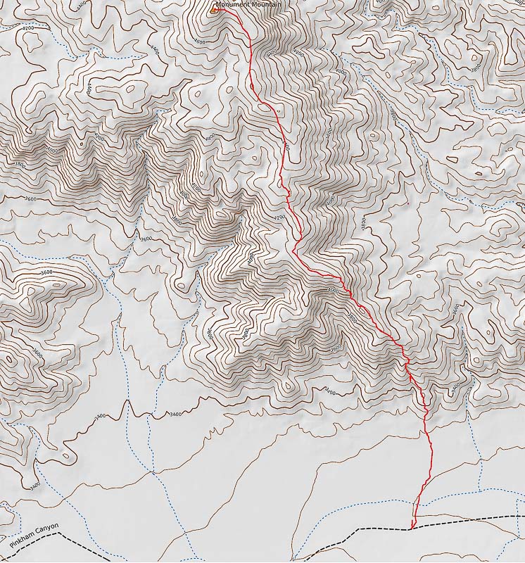
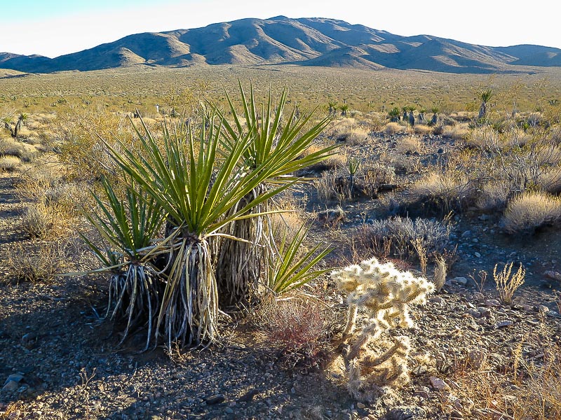
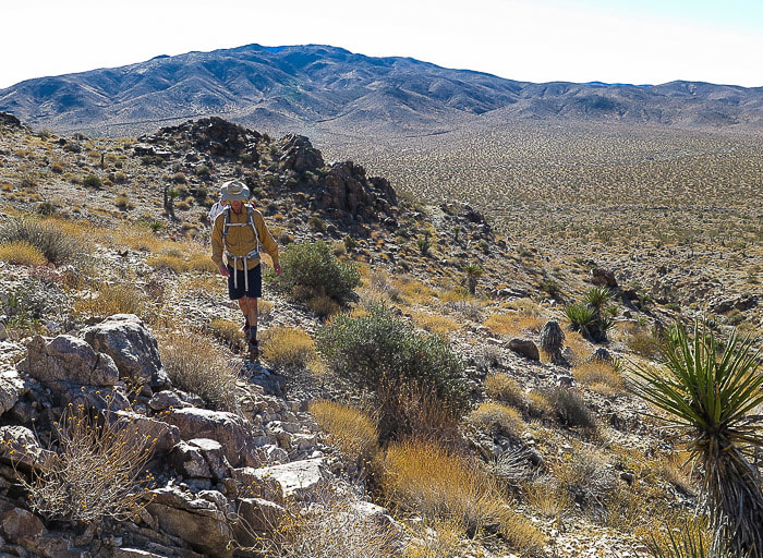
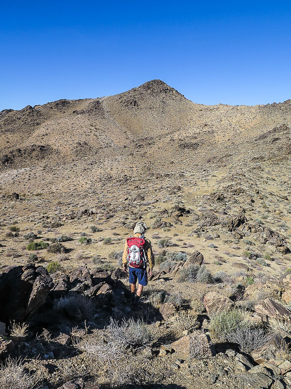
These six images are from a great review of hiking Monument Mountain 2/19/2018 (*): 1. Topo map of trail connecting Pinkham Canyon Road to the Monument Mountain summit. 2. View of Cottonwoods from from Pinkham Canyon. 3. Still low on Monument Mountain with view toward Cottonwoods. 4. Monument Mountain summit in view. 5. View toward Eagle Mountain on left from summit of Monument Mountain. 6. View toward Salton Sea.
I took a lot more pics and videos on 2018.11.17. Here is my response to someone on the subject of what is driving the rodent behavior:
"The following pictures show signs of desert rats that are starving and eating yucca as a last resort. I've been hiking up here for 6 years and this is the first rodent attack on yuccas that I've seen. They burrow around large rocks and cover their holes with small rocks and debris. In the last pic you can see the yucca leaves at the rat den entrance. The way they are going after the yucca, the yucca will not last too long. I've heard reports that no mammals will be in the wild by 2025 due to "climate change" although it appears that more dramatic forces are at work here. Planetary insect biomass is down 75% to 90% in the past 40 years. Same with plankton and soil microbes. You can blame Round Up and ozone holes, but I blame rising exposures to EMF and the nanoparticulate heavy metals that are being sprayed on us daily to 'protect' us from the sun. But that is a conspiracy theory that Anderson Cooper won't report on, so people will carry on as if everything is fine. The small rodents are fucked. The soil is becoming sterile. I hear almost none of the insects I once heard in Joshua Tree. I imagine the rats are omnivorous. But there is hardly any new plant growth and the beetles and flying bugs, along with the birds, are mostly gone. I think the yucca are a last resort food source for the critters."
Warning of "Ecological Armageddon" After Dramatic Plunge in Insect Numbers (*)
The global ecosystem is rapidly collapsing… insect biomass plummets 75% in one generation… scientists warn of “decimation”… humanity may not survive much longer (*)
>> 10/19/2017 / By Mike Adams / For years, I’ve warned that humanity is a suicide cult which has engineered its own destruction by relentlessly poisoning the natural world with chemical pesticides, heavy metals and GMOs. Now, the collapse of living systems across the planet is accelerating like never before, with ocean fisheries collapsing by the day, topsoil vanishing by the inch, and wildlife populations being decimated by the accelerating destruction of habitat....<<
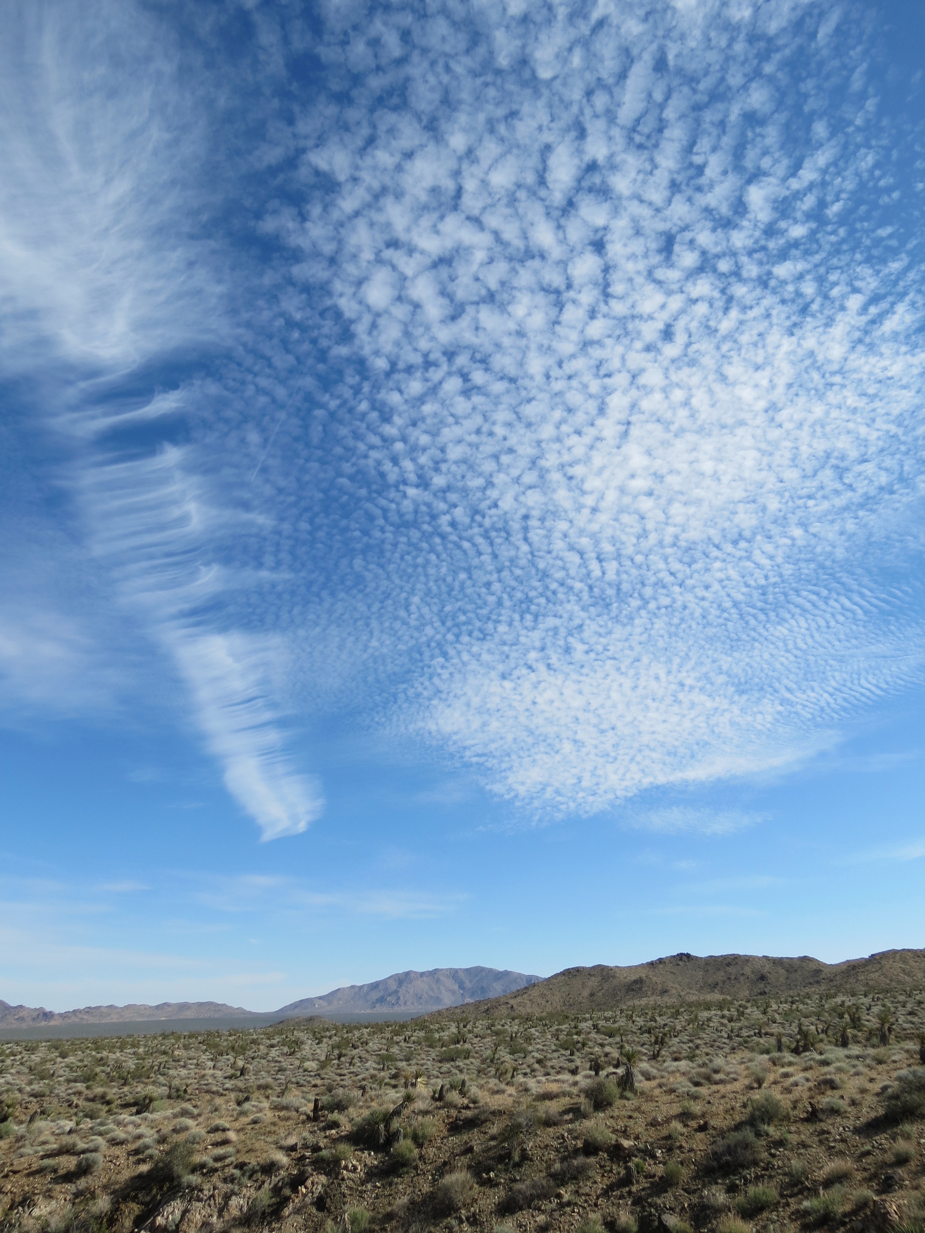
"Absolutely normal" clouds over Pinkham Canyon and Eagle Mountain, Joshua Tree National Park. 11/17/2018
Video of aerosols blanketing the sky and forming a solid layer of chemical death haze at 3000' elevation covering Coachella Valley, from the vantage point on the Cottonwood Mountains at about 4000' in elevation. Includes a zoom in on Monument Mountain and clear shots of San Jacinto and San Gorgonio Mountains many miles away (2:17). 11/17/2018.
Criminal Aerosol Spray Operations - AKA "Chemtrails"
Electrical Sensitivity, Human Health, And Environmental Illness
Electrical Sensitivity - Personal Symptoms And Reflections
Healthful Diet And Lifestyle, Environmental Toxins, And Multiple Chemical Sensitivities
Heart Chakra Opening - Signs And Symptoms
Kundalini Awakening - Spiritual Signs And Symptoms
Kundalini Awakening - Spiritual Signs And Symptoms - Additional Posts
Kundalini Awakening - Spiritual Signs And Symptoms - EMF Complications - More
Kundalini, Orgasm, Masturbation And The Spiritual Function Of Sexual Fluids
Mother Shakti Goddess Transmission Observations
Sexual Deviancy And Its Relation To Fear, Control, Power, Vitality, Innocence, Youth, and Death
This page was first uploaded on 10-9-2012, last modified on 12-15-2018.
All contents and design by Kundalini & Cell Towers © 2012-2018