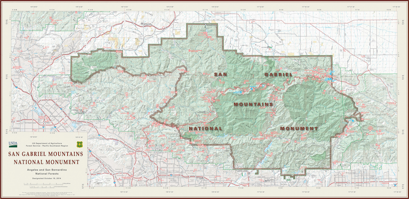
Map of San Gabriel Mountains National Monument established 2014 (pdf). Wikipedia. Visitor Guide 2016.
San Gabriel Mountains National Monument - Pleasant View Ridge Wilderness - Devil's Punchbowl Hikes - Photos - Pictures - 2005-2017
Photos/pictures/photographs from the Pleasant View Ridge Wilderness, a subsection of the San Gabriel Mountains National Monument, which in turn is part of the larger Angeles National Forest. In this series of photos I focus on the lower elevation hikes in this area, including hikes to the South Fork Campground, starting from the Devil's Punchbowl County Park parking area, passing Devil's Chair 3.5 miles in, climbing into and out of Holcomb Canyon, and then down into South Fork / Big Rock Creek, for a total 13.4 miles round trip with a good 1500' of overall elevation gain. From the trail you can see Pallet Mountain (7983') and Mount Williamson (8214') soaring high above the Devil's Chair trail.
national high desert recreational trail links
Photos/Pictures/Photographs - 2005-2017
Map of San Gabriel Mountains National Monument established 2014 (pdf). Wikipedia. Visitor Guide 2016.
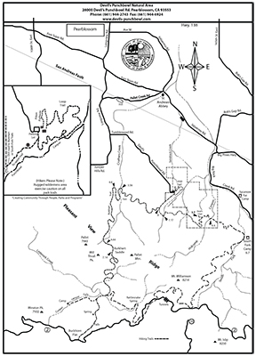
Devil's Punchbowl Natural Area map from Devils-Punchbowl.com. Image links to large PDF.
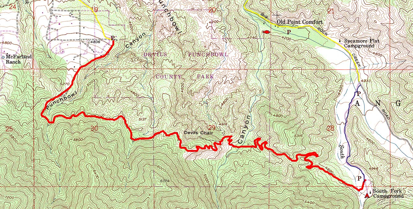
Devil's Punchbowl County Park topographical map, showing route in red from parking lot to South Fork Campground. Image links to large JPG. (Map from Sambana.)
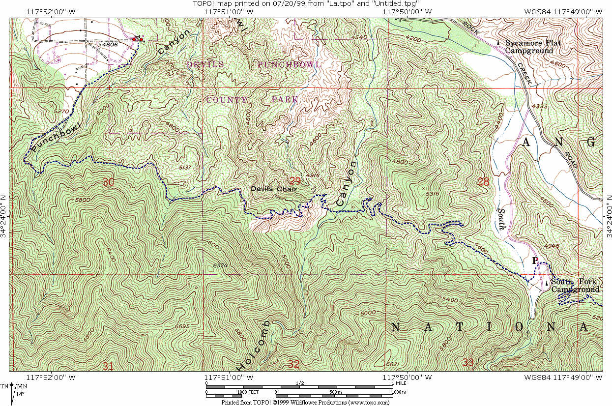
Devil's Punchbowl County Park topographical map, with mileage scale for trail to Devil's Chair and South Fork Campground. Image links to large jpg.

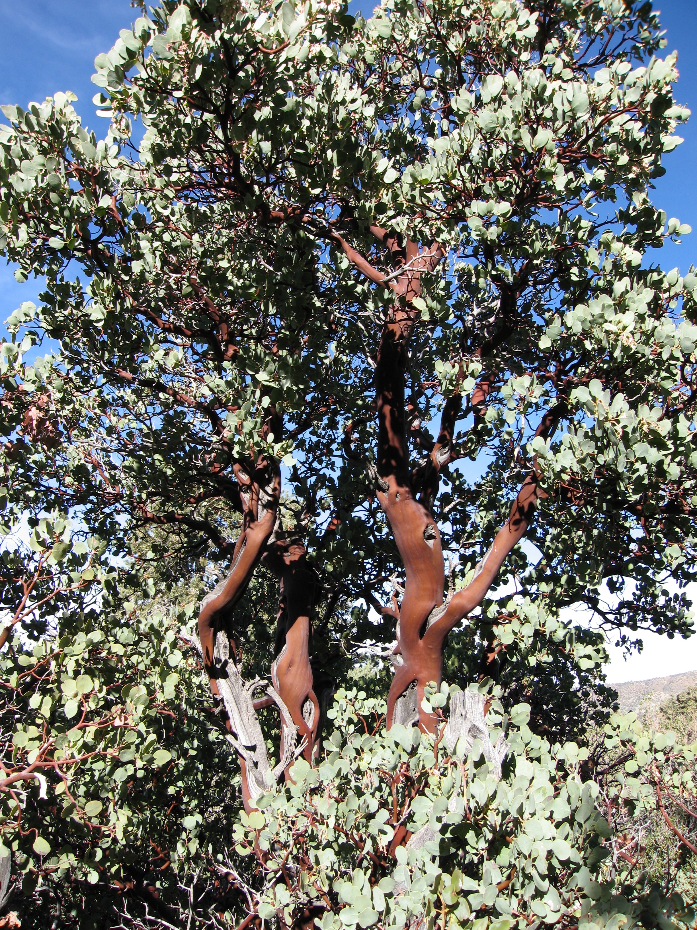
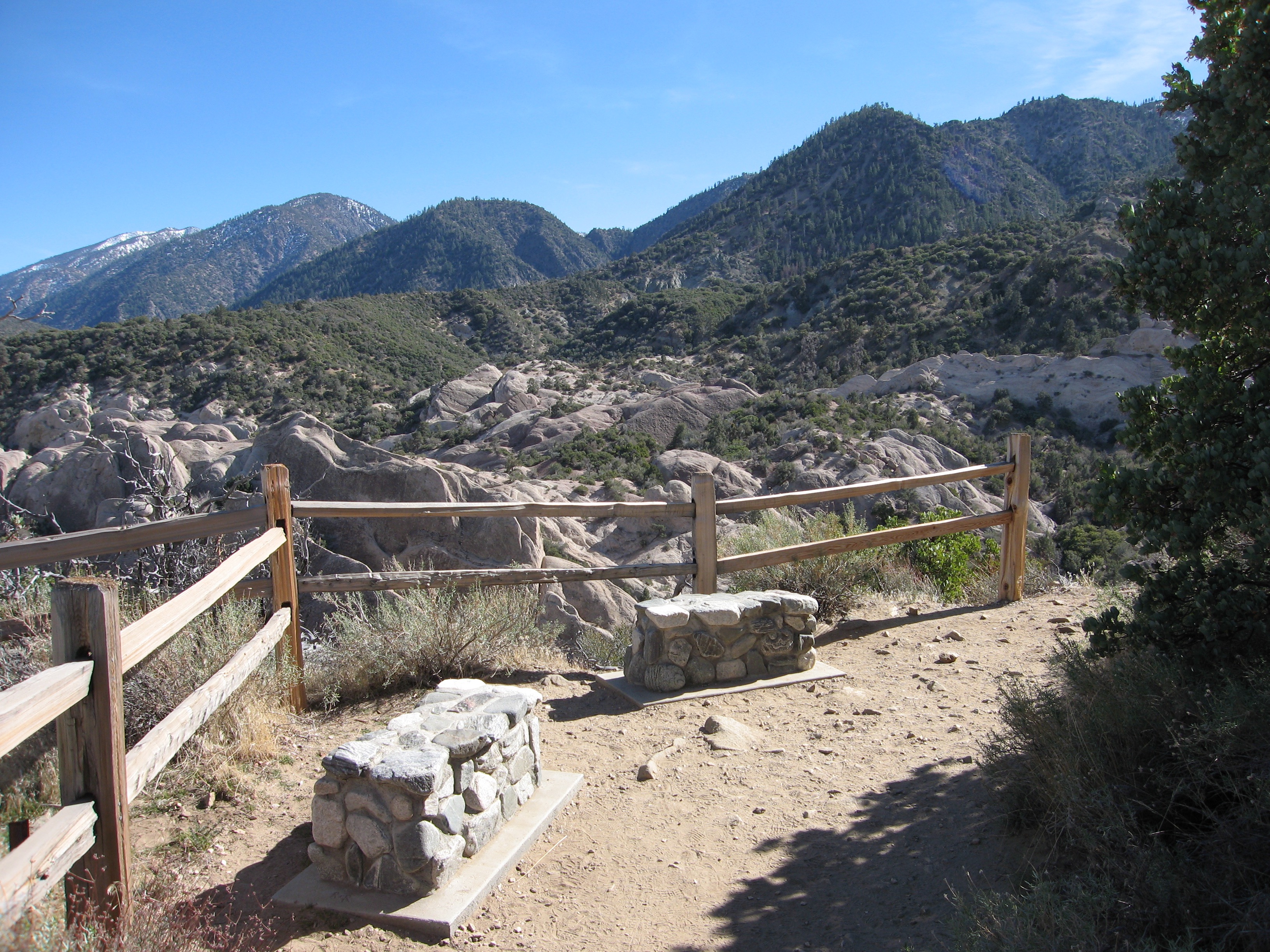

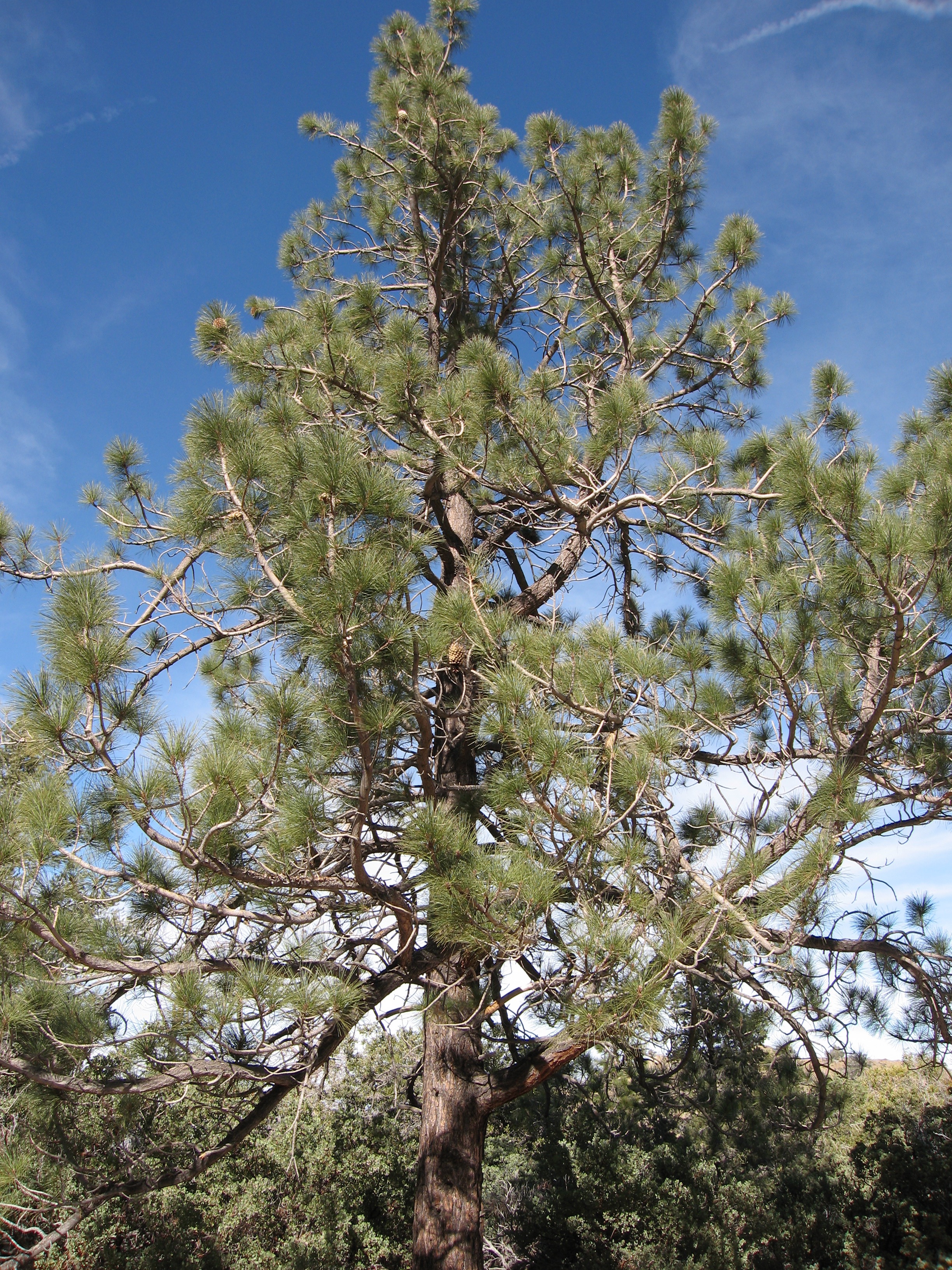
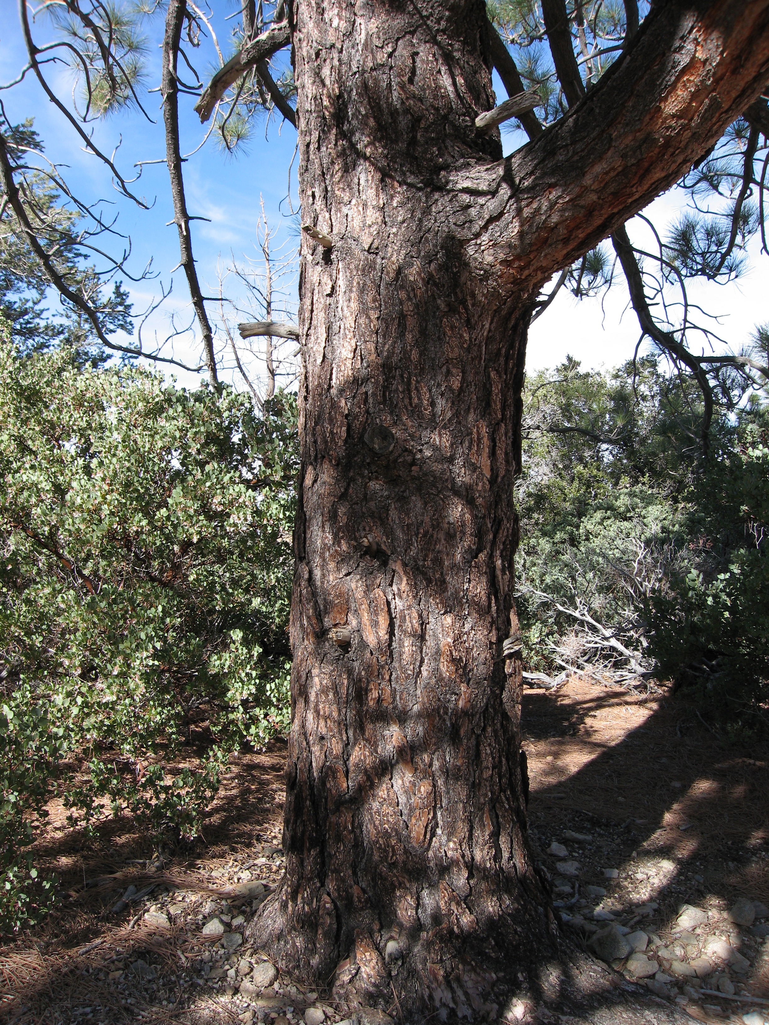
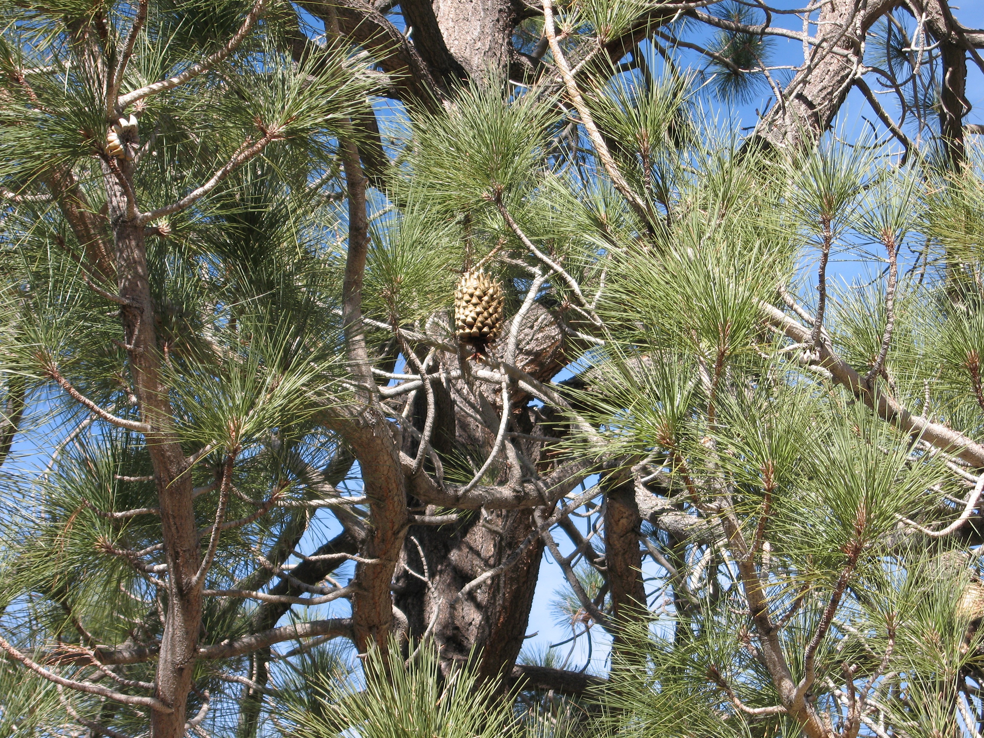
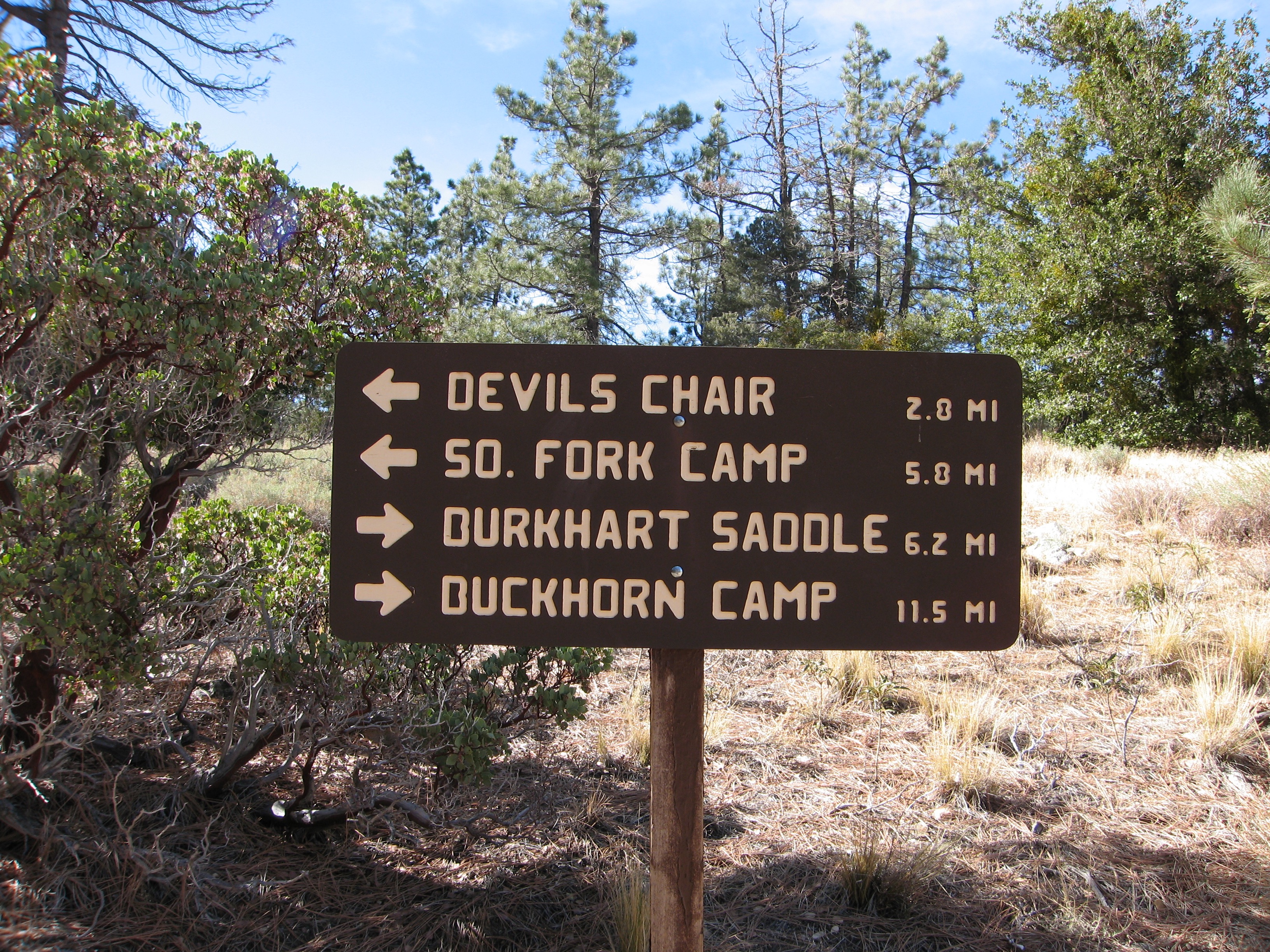

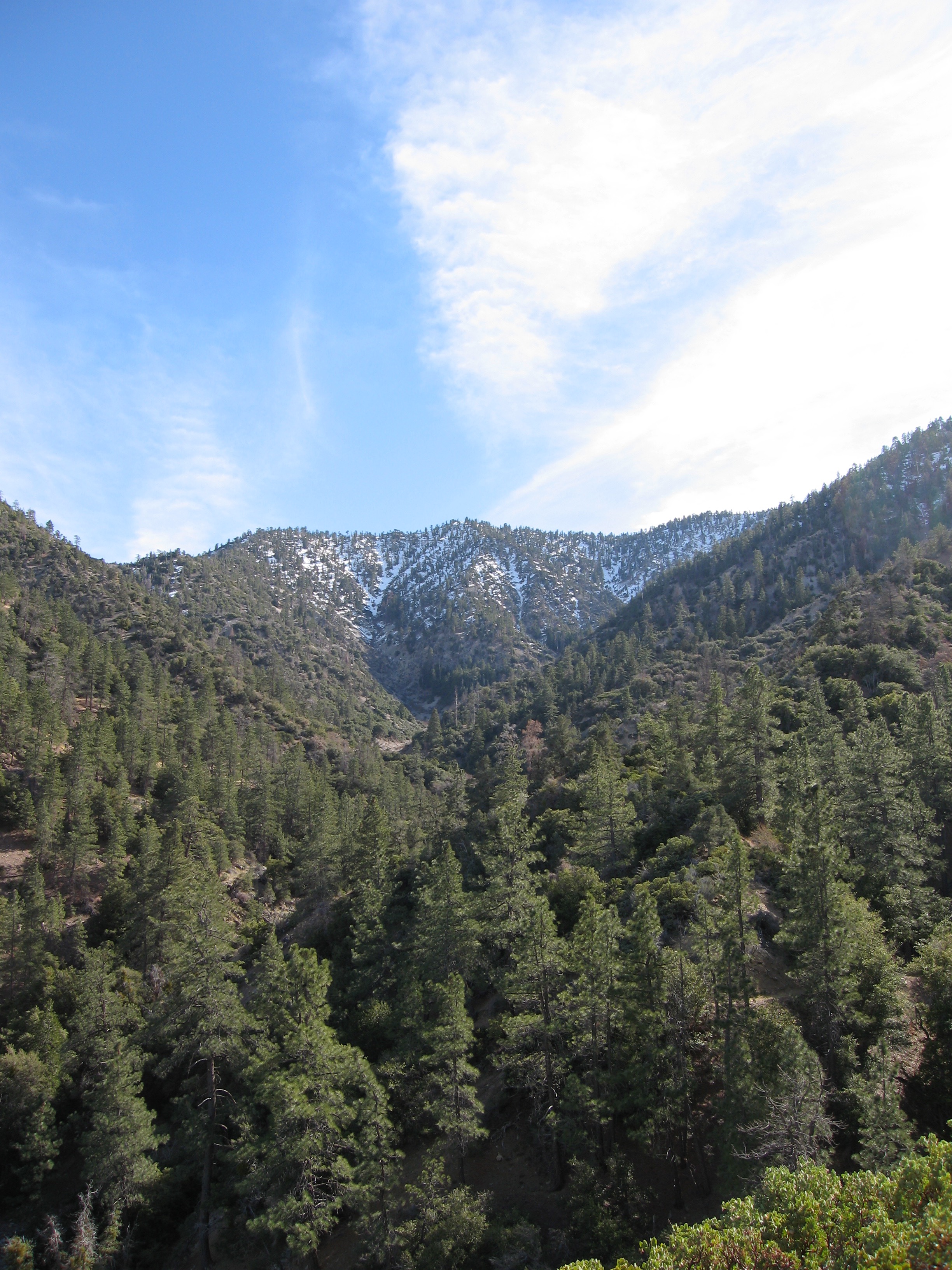
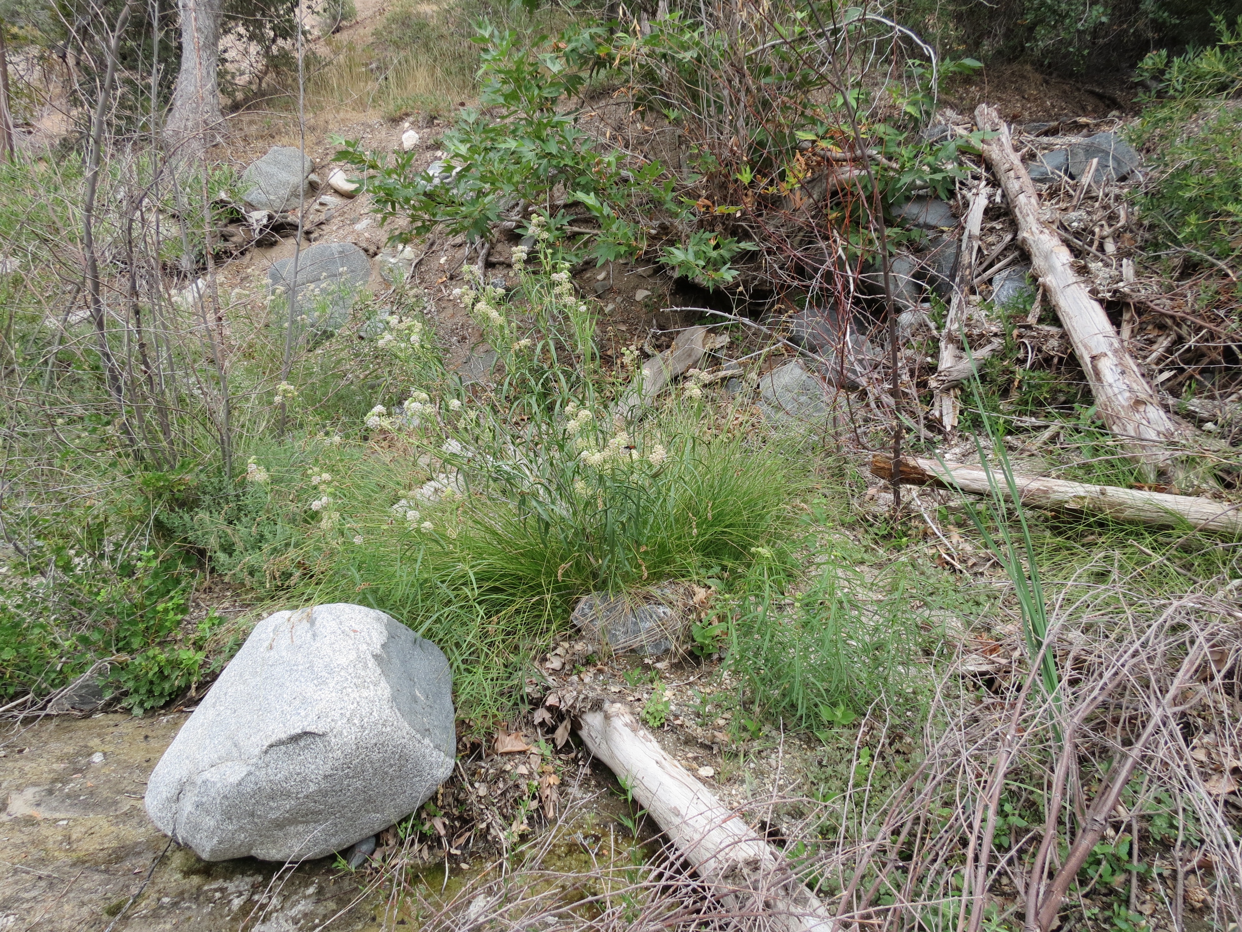
Pics from February 12, 2006: 1) Burkhart Trail post 1/2 mile from parking lot for Devil's Punchbowl; 2) manzanita bush; 3) stone benches overlooking rock formations near beginning of Devil's Chair trail. 4) rock formations. Another trail near the parking lot connects to the base of these rocks, where a stream flows most of the year. When it's hot, this is a popular destination. 5-7) very nice pine tree about a mile from the parking lot that died in 2016. It's shade and pine scented fragrance will be missed. 8) Wooden sign, one mile from parking lot: Devils Chair 2.8 miles, South Fork Camp 5.8 miles (this is where I go), Burkhart Saddle 6.2 miles, Buckhorn Camp 11.5 miles. 9) View of San Gabriel Mountains through pine tree; 10) View up 2500 feet toward Mount Williamson. This is actually a secondary ridge slightly north and west, as well as lower by 500 feet, than Mount Williamson. There are a couple of old plane wrecks that you can inspect if you venture to this high elevation area that is most easily accessed via Highway 2 at the Islip Saddle parking area. Notice in this last picture, in particular, the obvious chemtrails. As alert as I am, I don't believe I recognized these as artificial, toxic aerosols until a few years later after I began to listen to Alex Jones and watched the documentaries, Aerosol Crimes, and What In The World Are They Spraying?
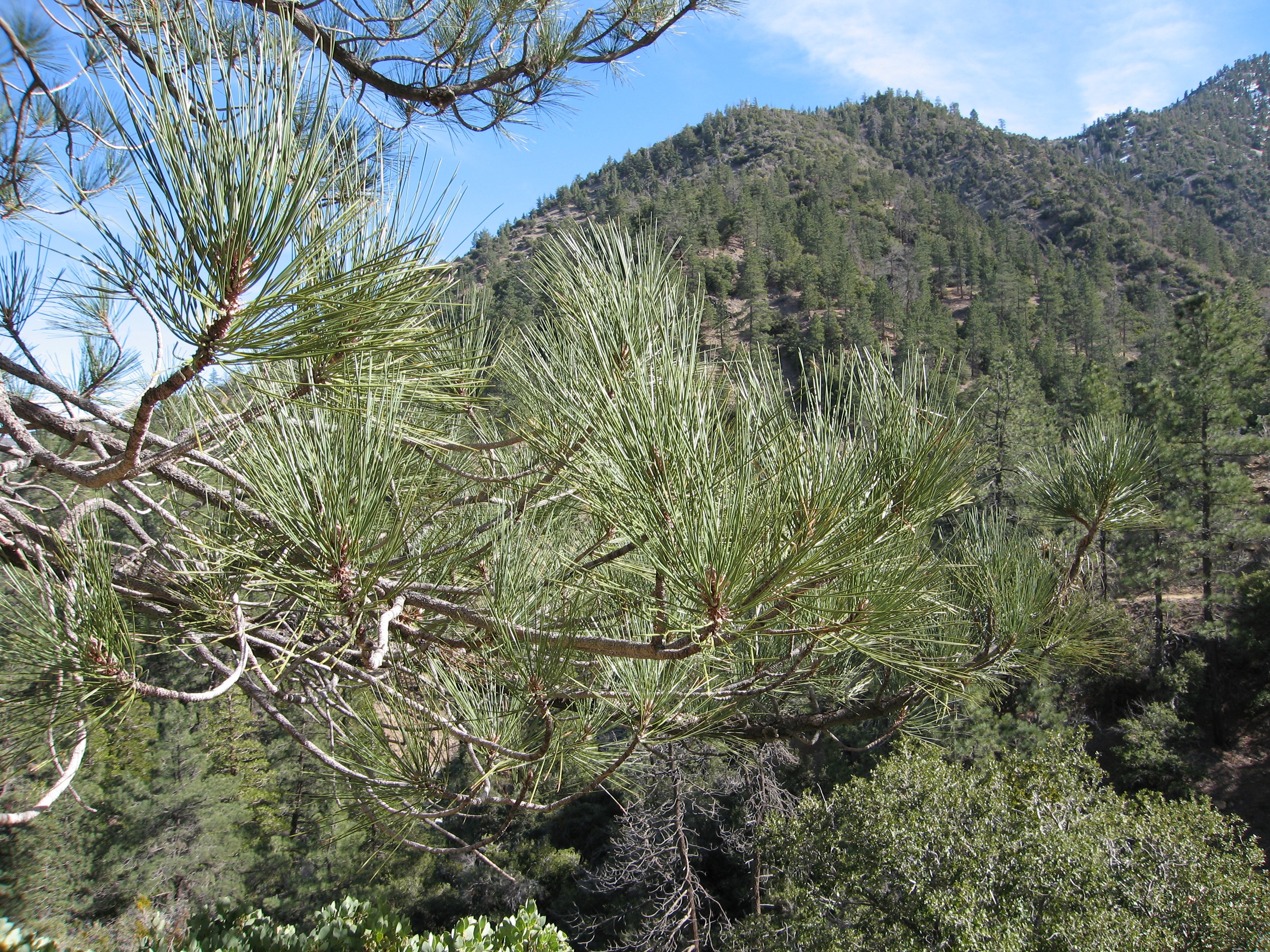
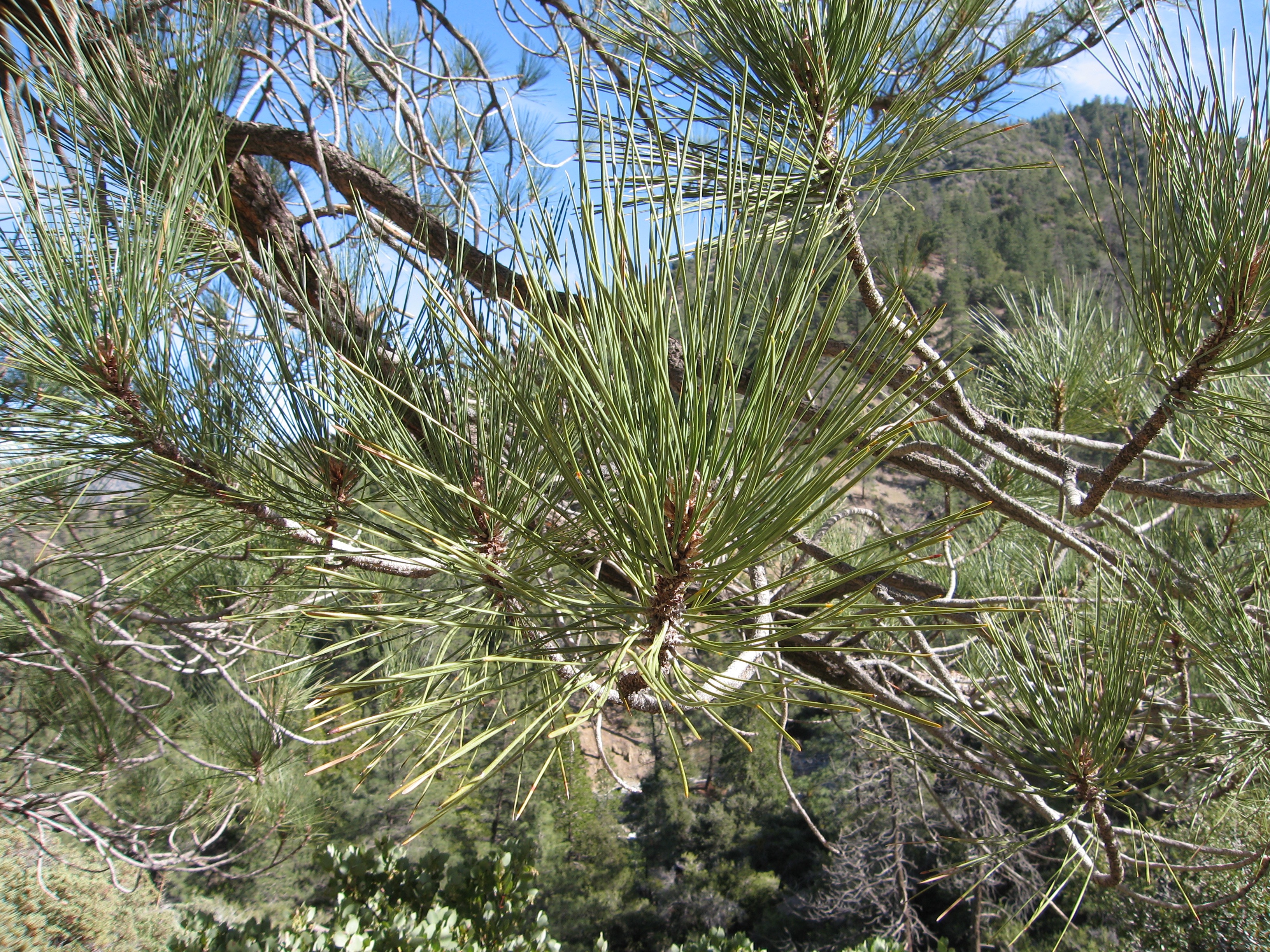
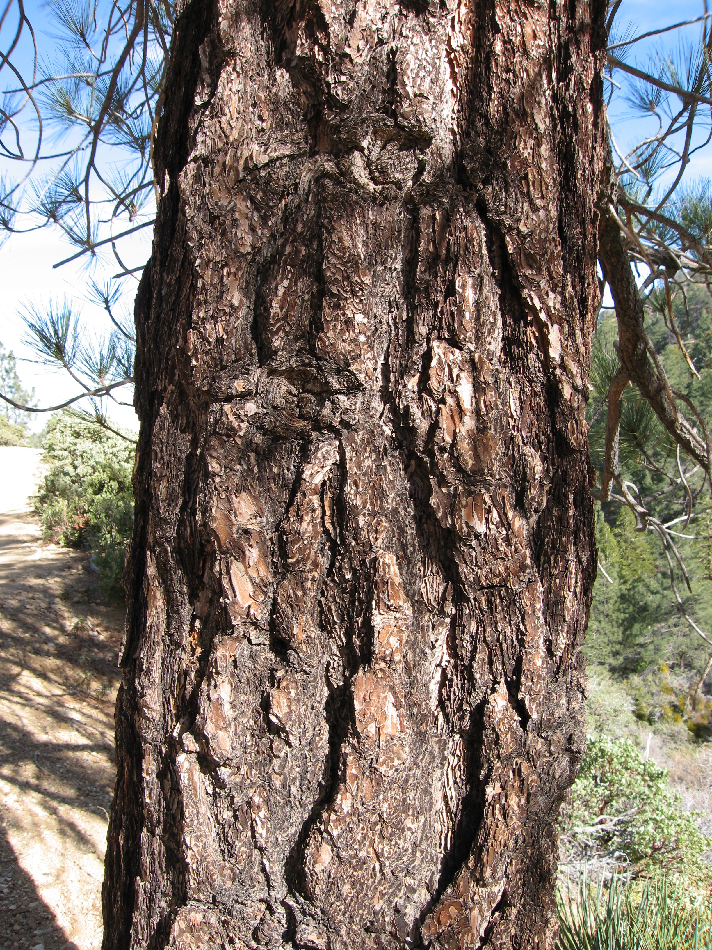
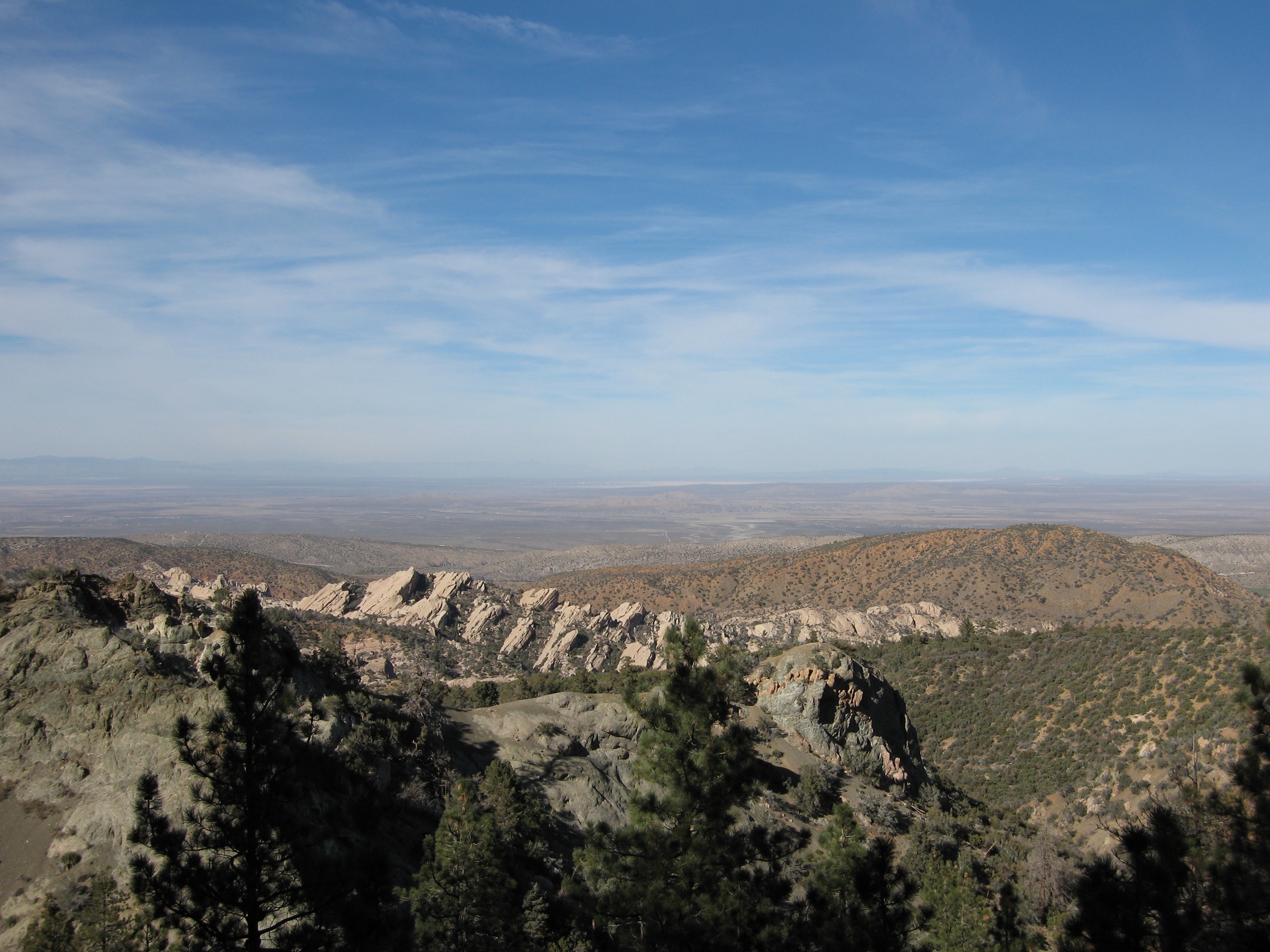

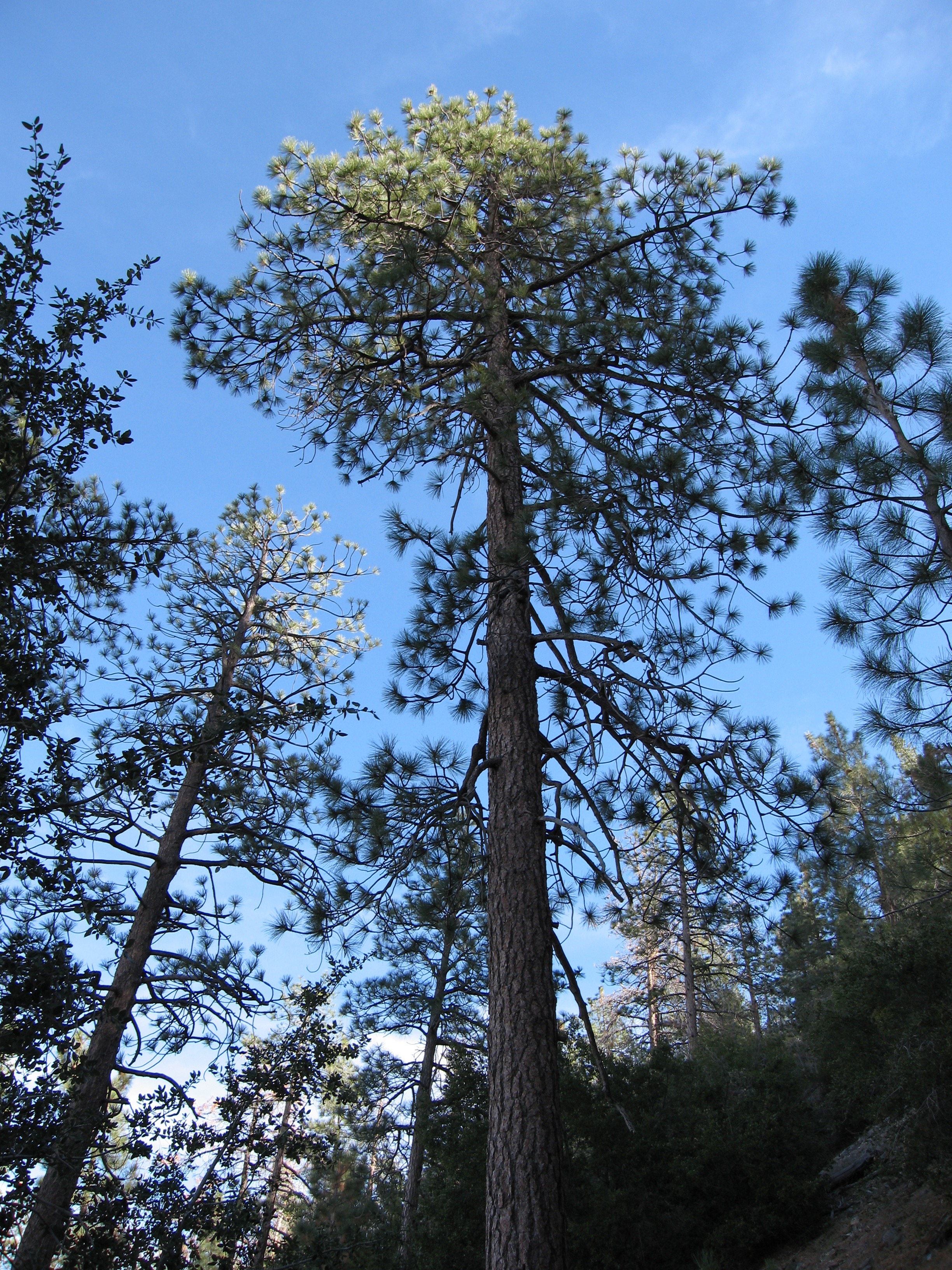
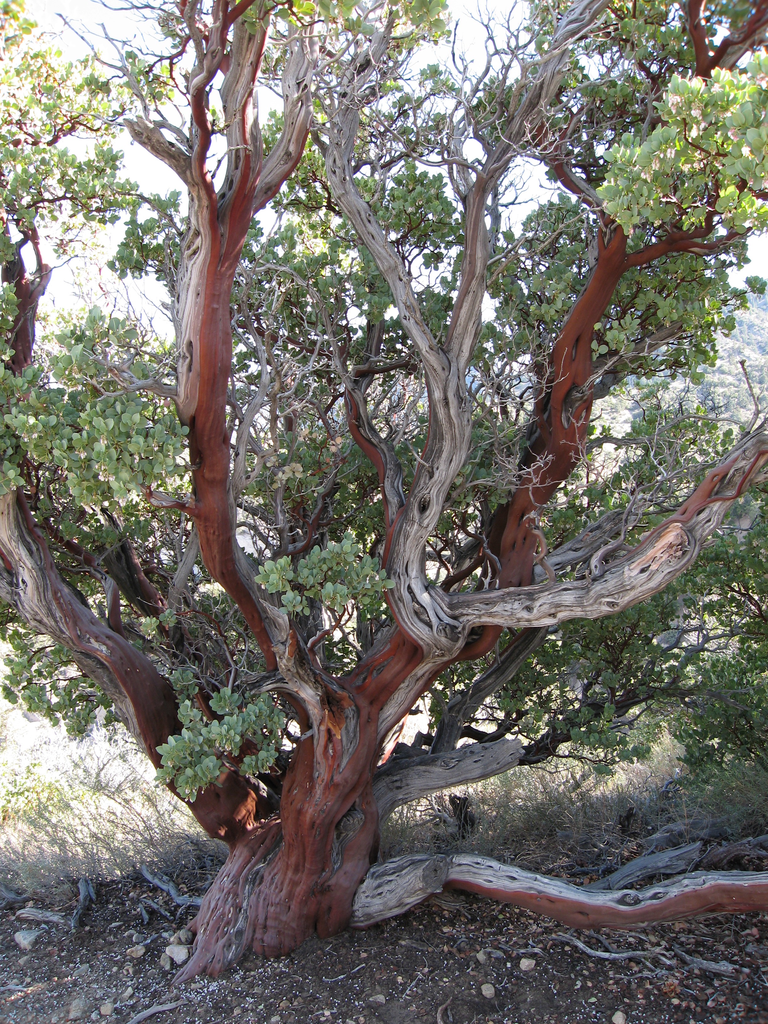
Pine cone, pine needles, pine trunk, tall pine specimen, manzanita, and view of rock formations under heavy artificial aerosols. 2/12/2006.
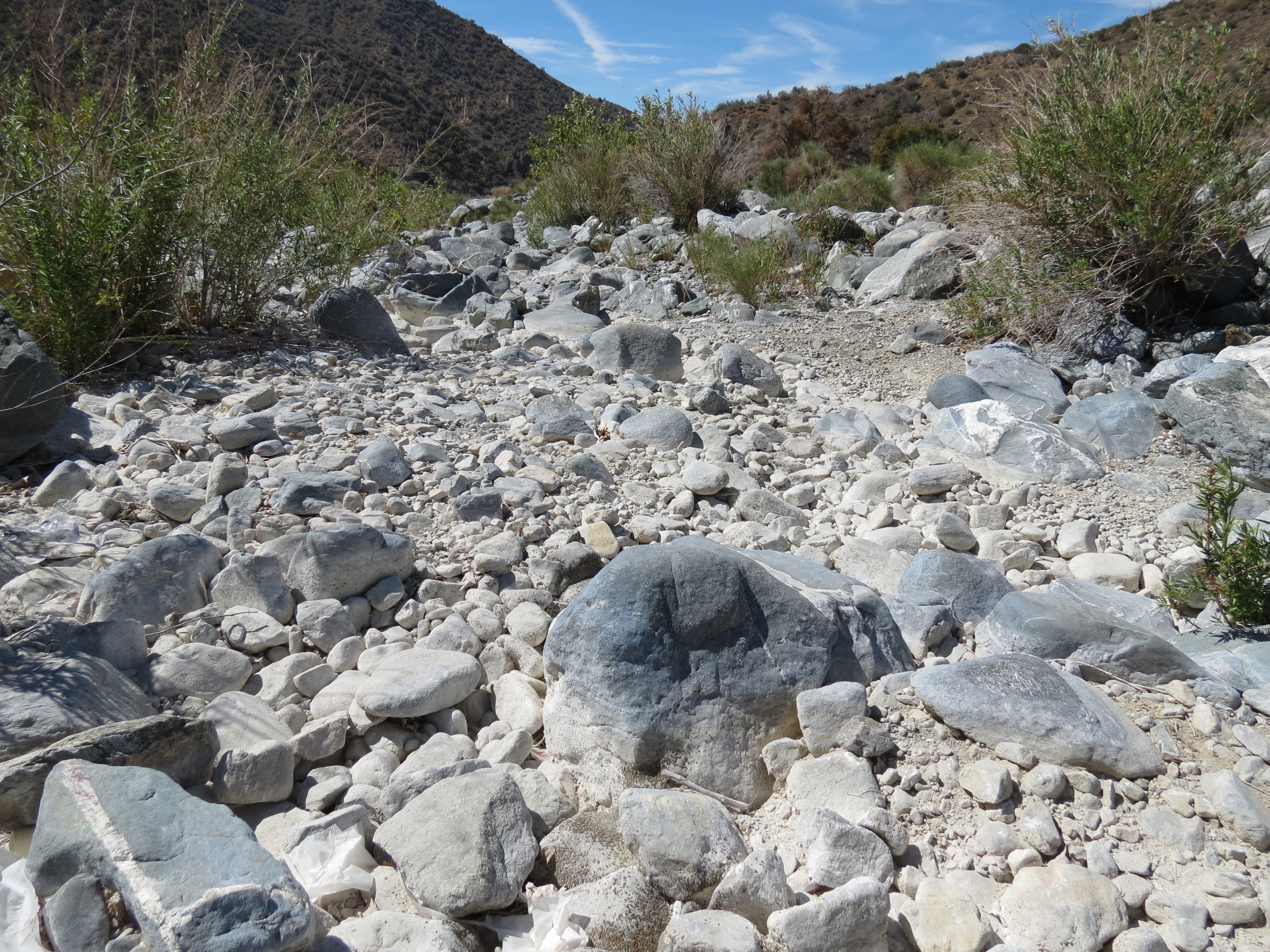
The first time in 8 years that I had seen Big Rock Creek dry. The ranger at Devil's Punchbowl said that there had only been 3 inches of rain this year, and that he expected a 50% die off of pine trees due to their impaired ability to produce sap and thereby protect against beetle infestation. 6/24/2013.
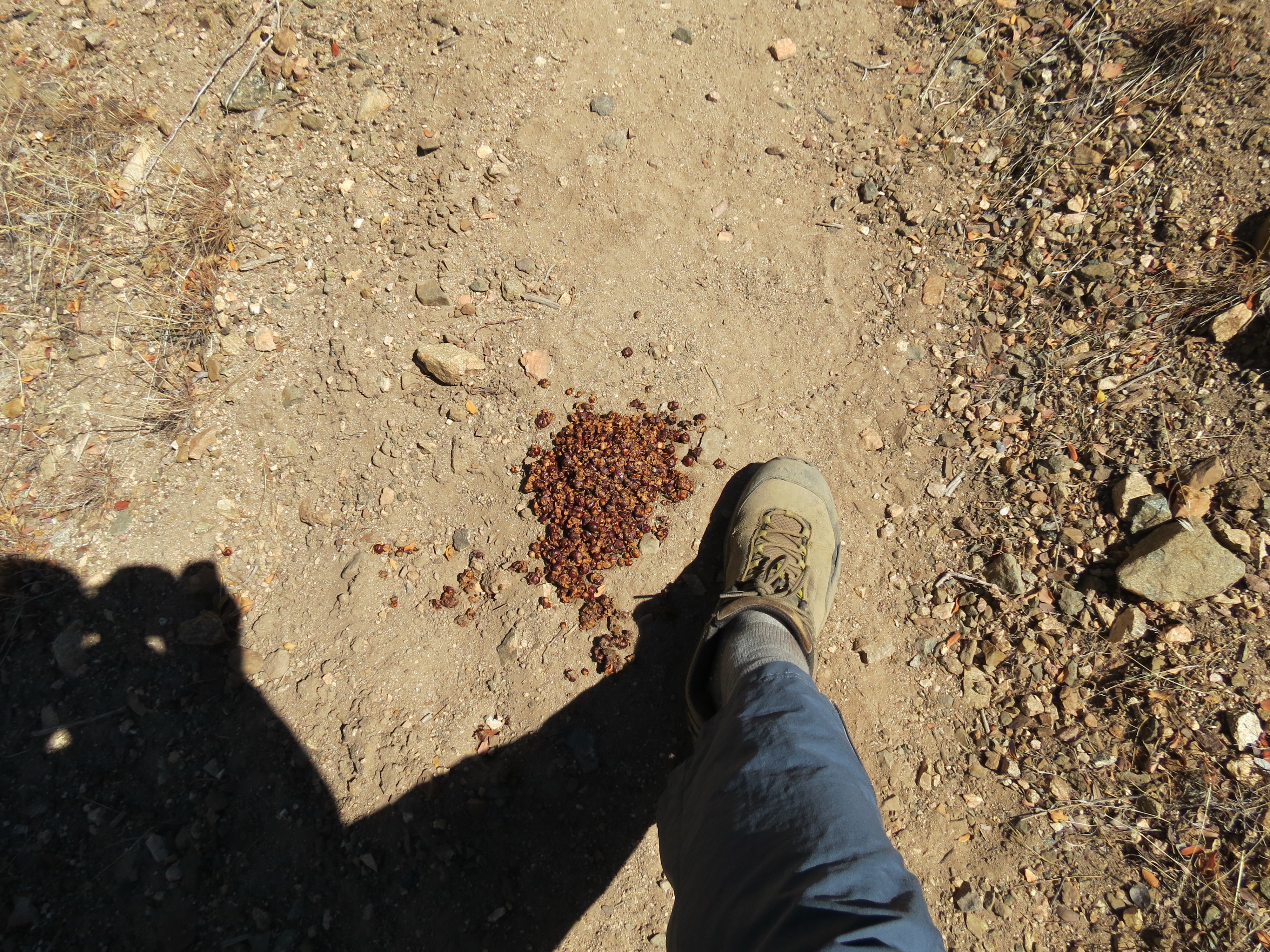
Bear scat in Holcomb Canyon, along the High Desert National Recreation Trail. I ran into the fellow two days later as I sat on a rock along the nearly dry Holcomb Creek. Hearing thick padded feet plod up the creek bed, the black bear was about 100' away when we made eye contact. He quickly bolted back the way he came. I had stripped down to my nylon boxers and had poured one of my 40 ounce flasks of water over me and was dripping dry quietly on a warm rock. It was hot that day, about 95º when I got back to the car at 1:00 p.m. I wouldn't want to have all that heavy black fur on my body on a day like today. 6/25/2013.
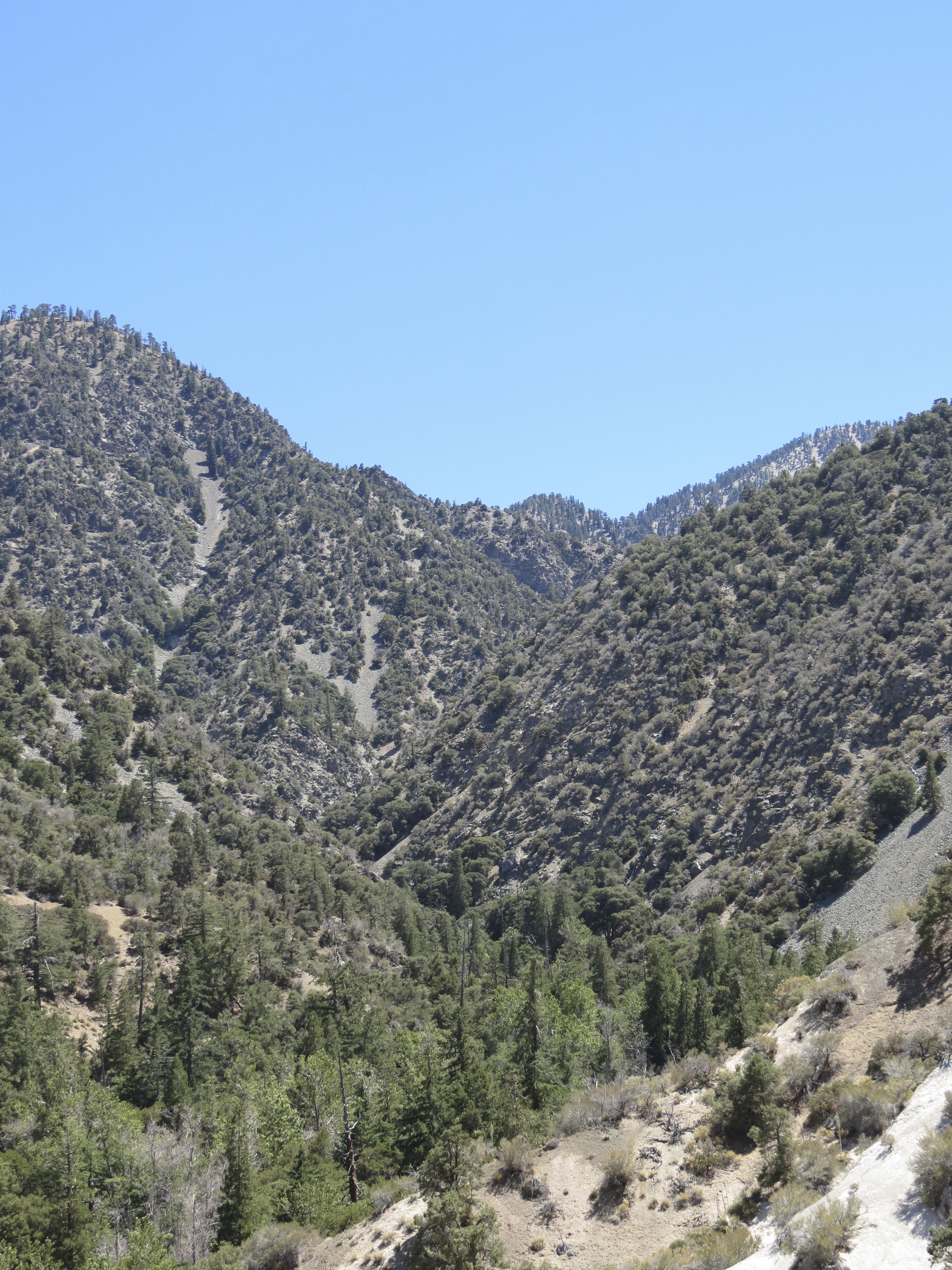
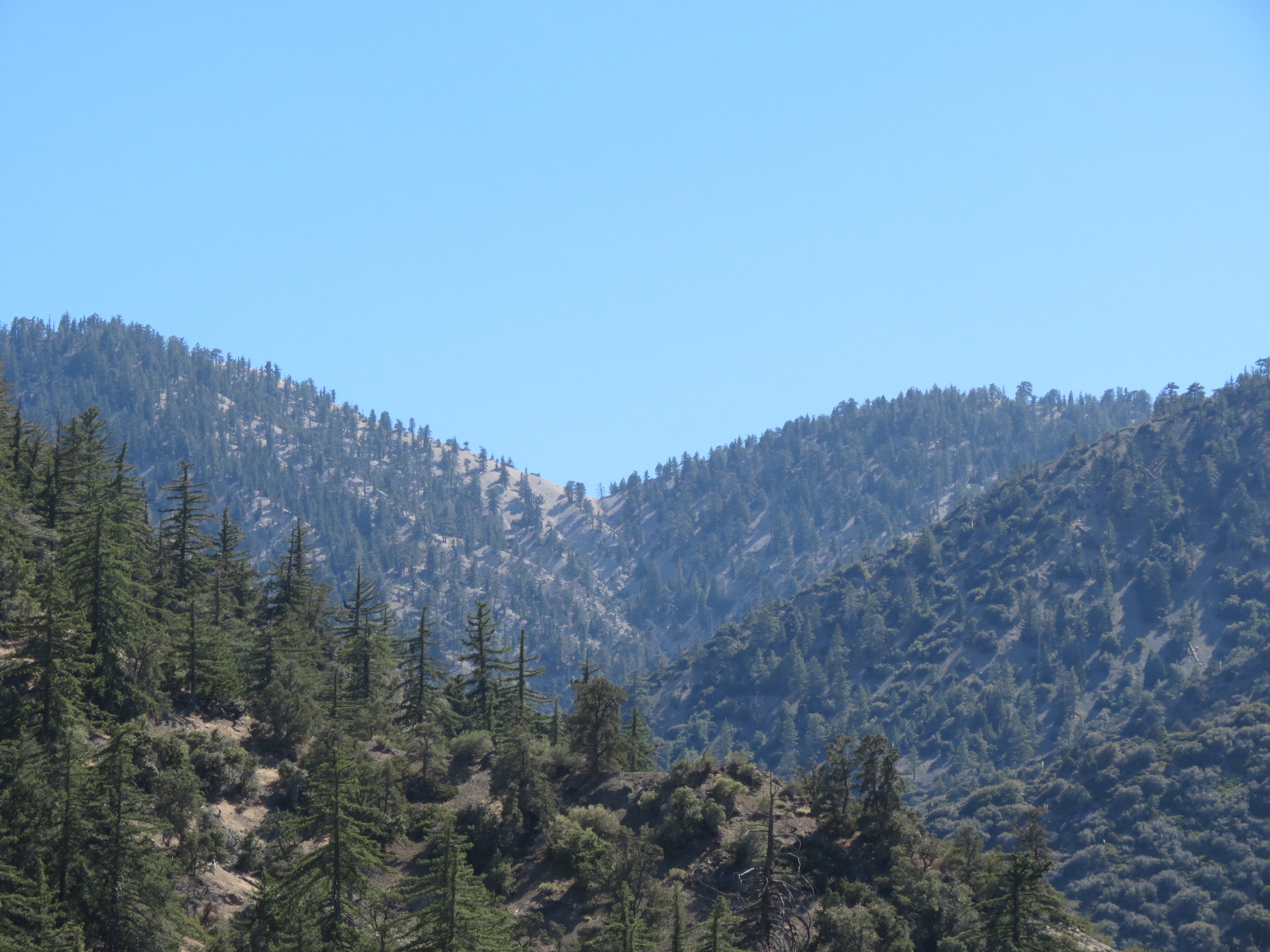
Nice shot of the upper reaches of Holcomb Canyon, as seen from the Devil's Chair trail. Is that Mount Williamson somewhere up there at over 8,000 feet? 6/25/2013.
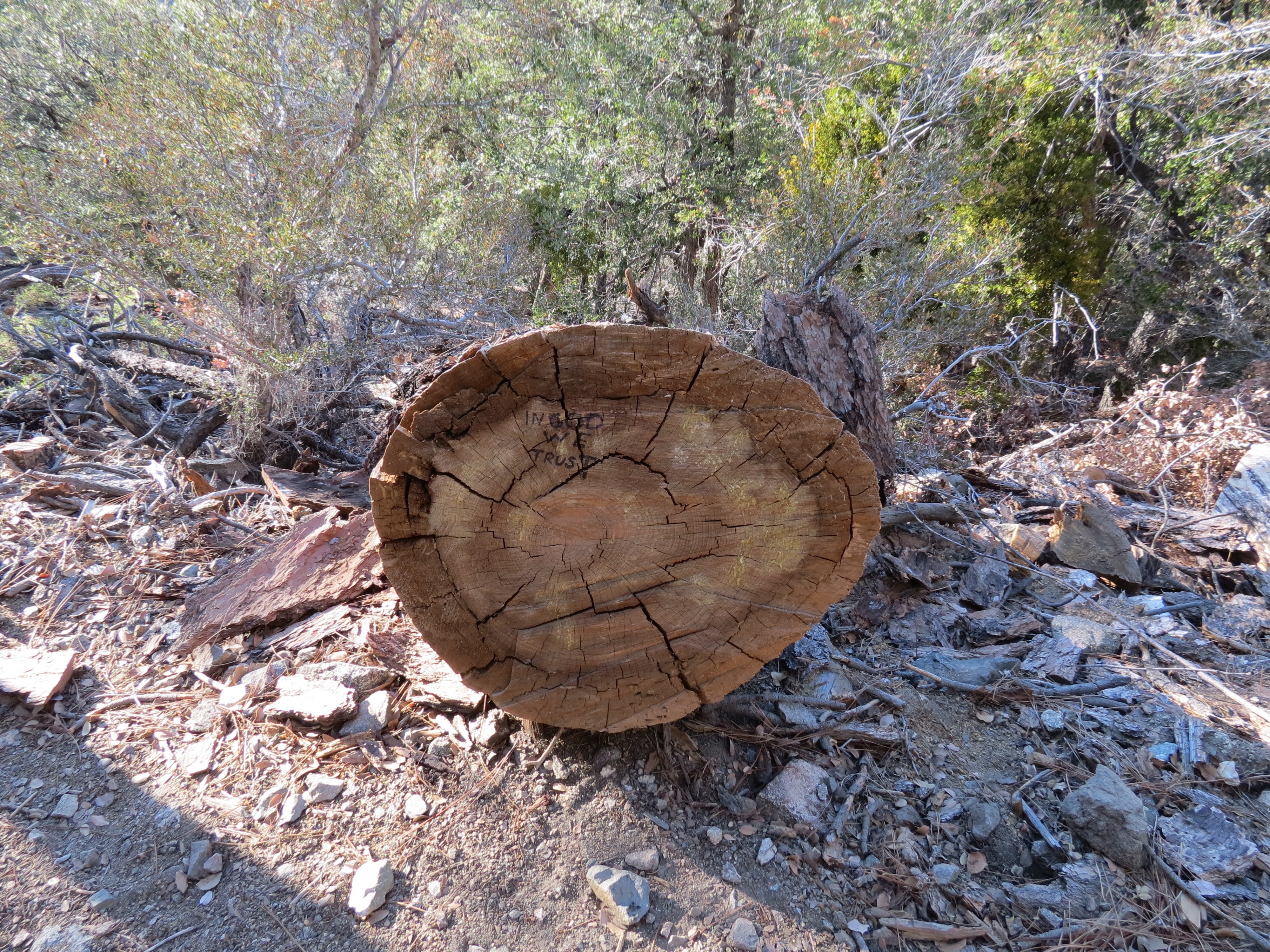
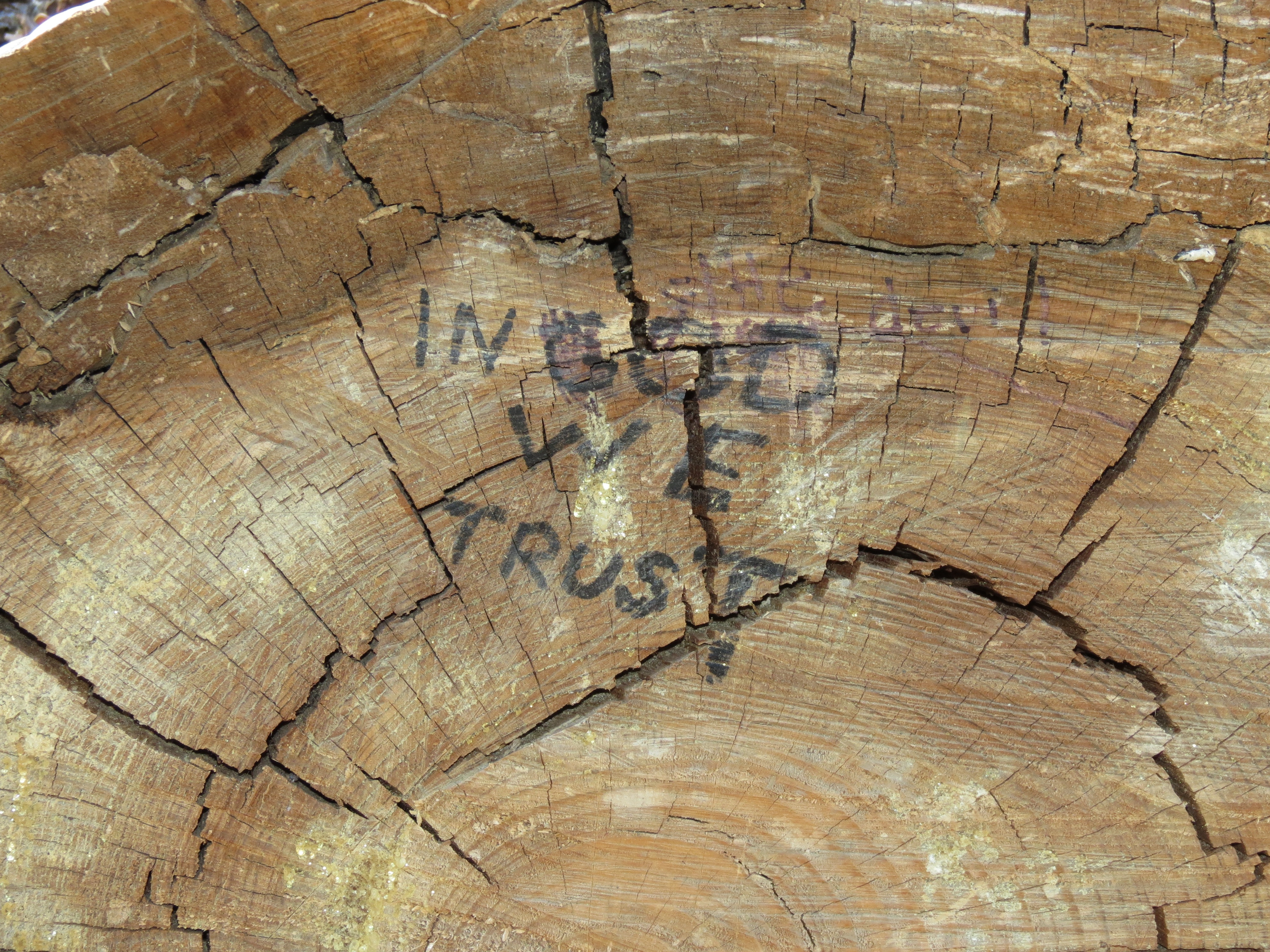
In God We Trust, written into a fallen pine tree. Note that someone had tried to scratch off God and replace it with "the Devil." Two sides of the same coin, in my opinion. But I wouldn't deface someone else's belief system. That's not how a superior belief system presents itself. If you are confident that you are correct, you don't need to force your views on others. 6/25/2013.
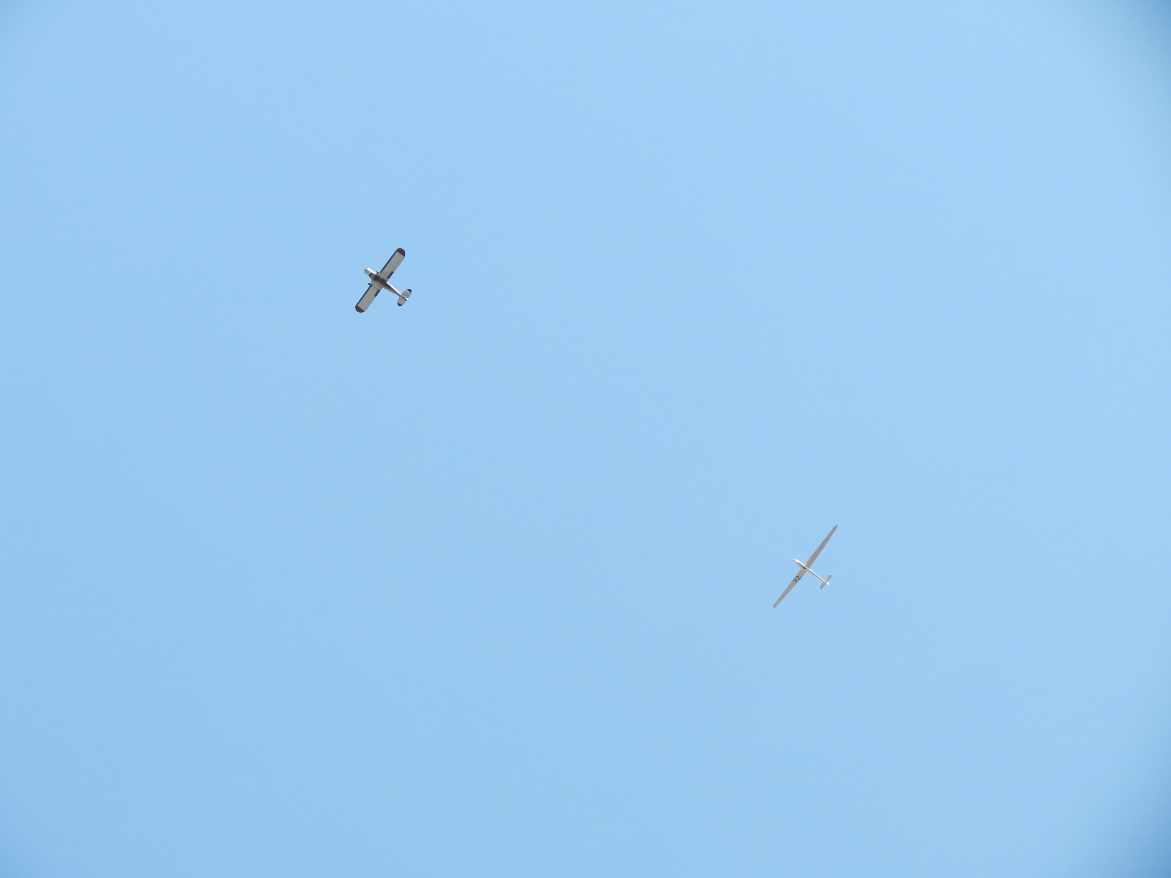
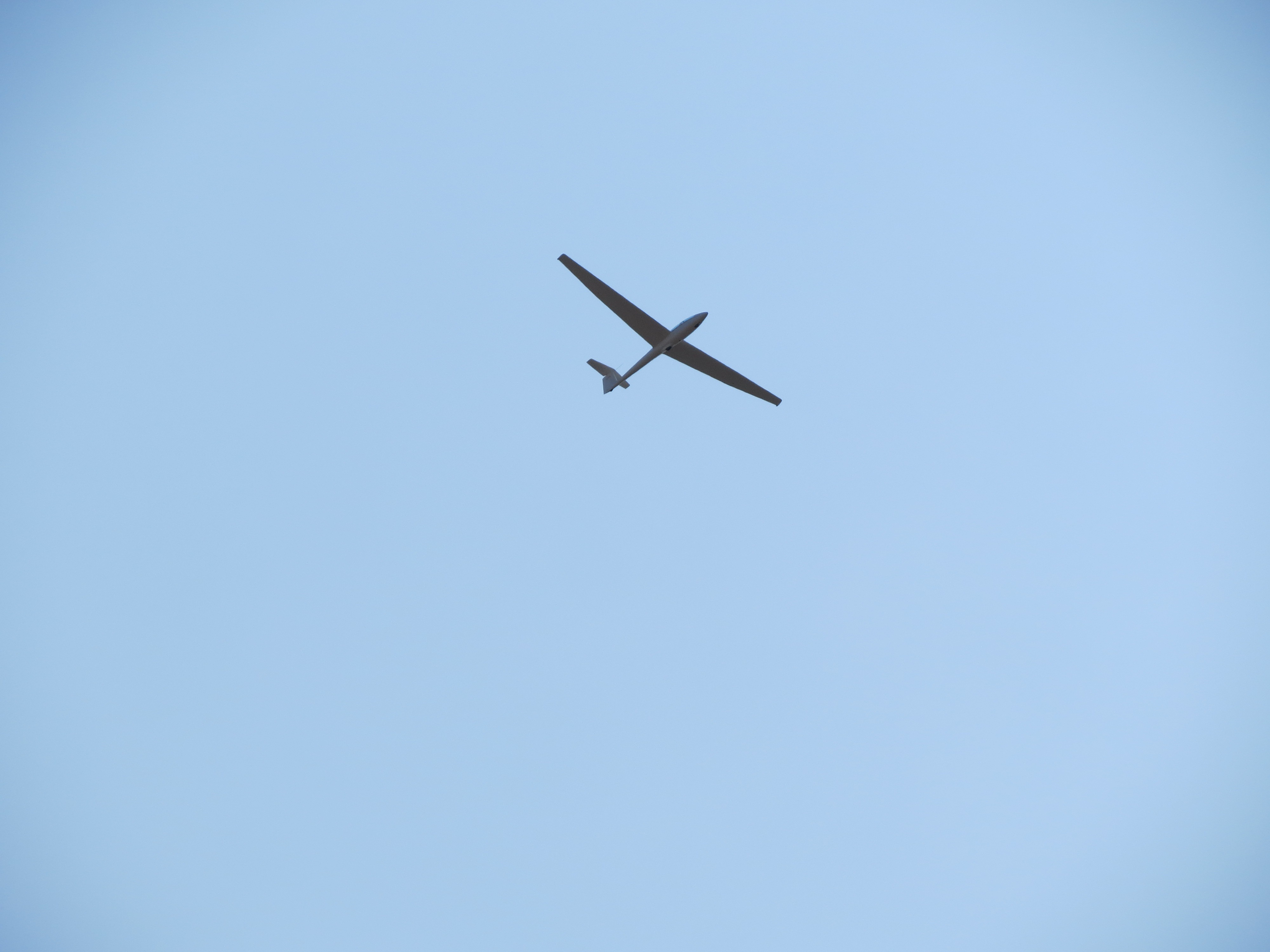
Glider and tow plane above Big Rock Creek and the San Gabriel Mountains. A few minutes after the glider was released from its hitch, it passed over head closer than usual. It was so quiet today, with no wind and no sound of the (now distant) tow plane's engine, that I could hear the sound of the glider slicing through the air with a metalic "whoosh" sound. Very cool. I plan on going up in one of those gliders some day. Hopefully I won't throw up. I think you can choose an acrobatic tour or just a plain sight seeing tour. I think I'd choose the latter. These gliders come out of the Crystalaire Airport in Llano, California, and are operated by the Southern California Soaring Academy (pdf) (YouTube). 6/29/2013.
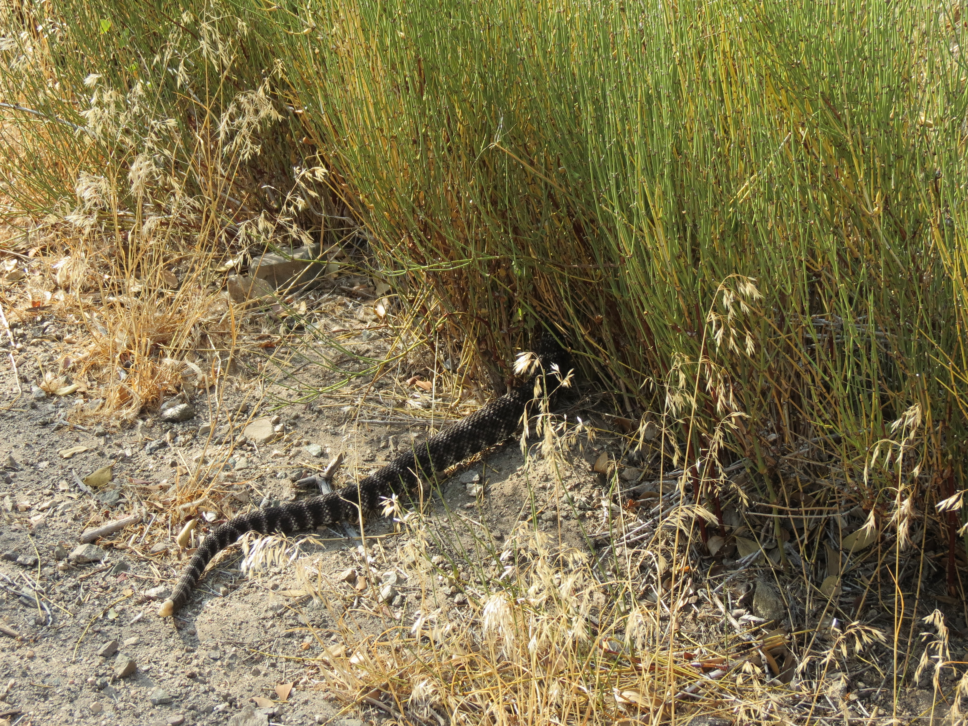
A healthy Southern Pacific Rattlesnake making his way into the tall grasses at the side of the trail at Big Rock Creek, Valyermo, California. 2016.8.20.
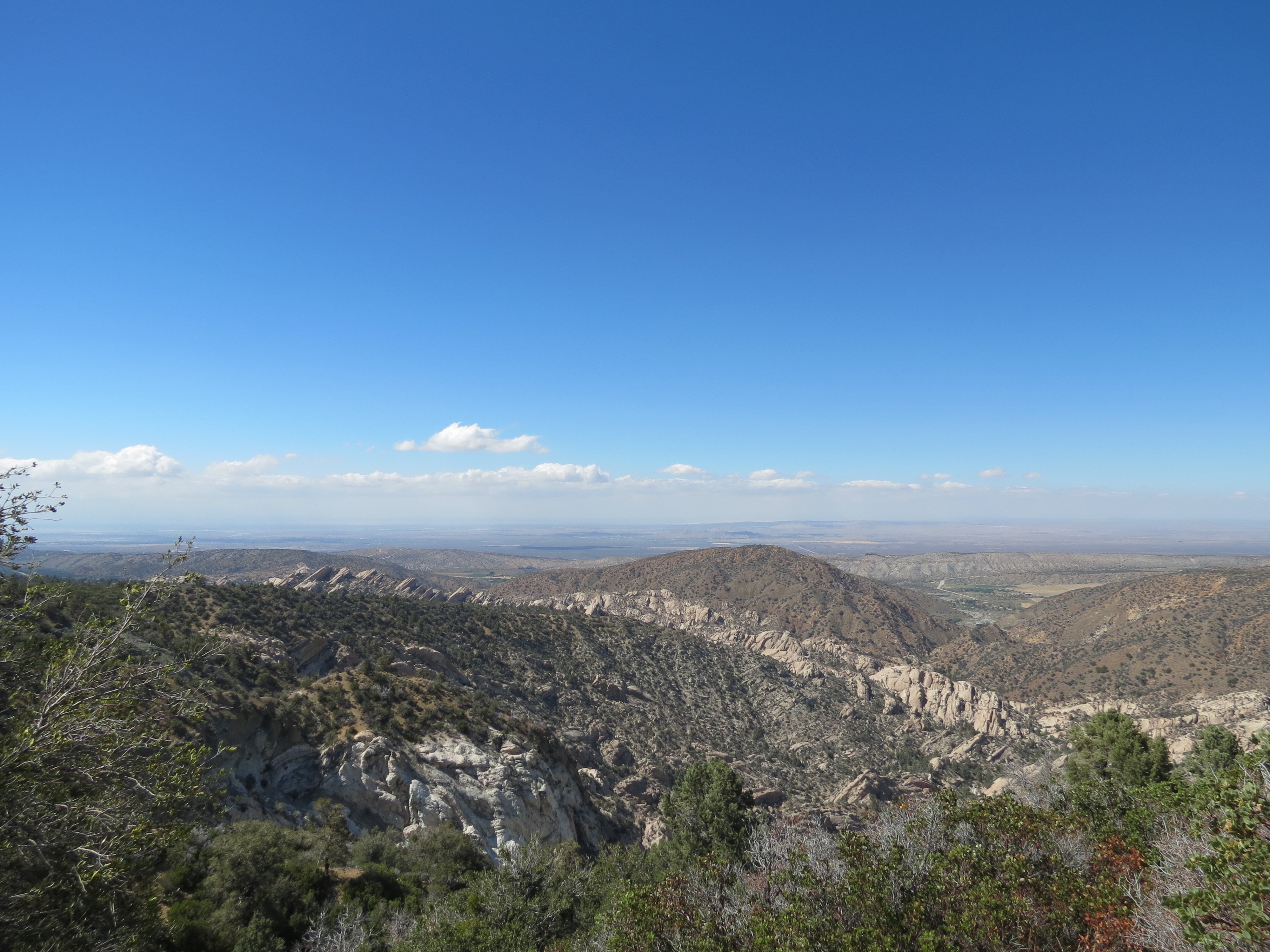
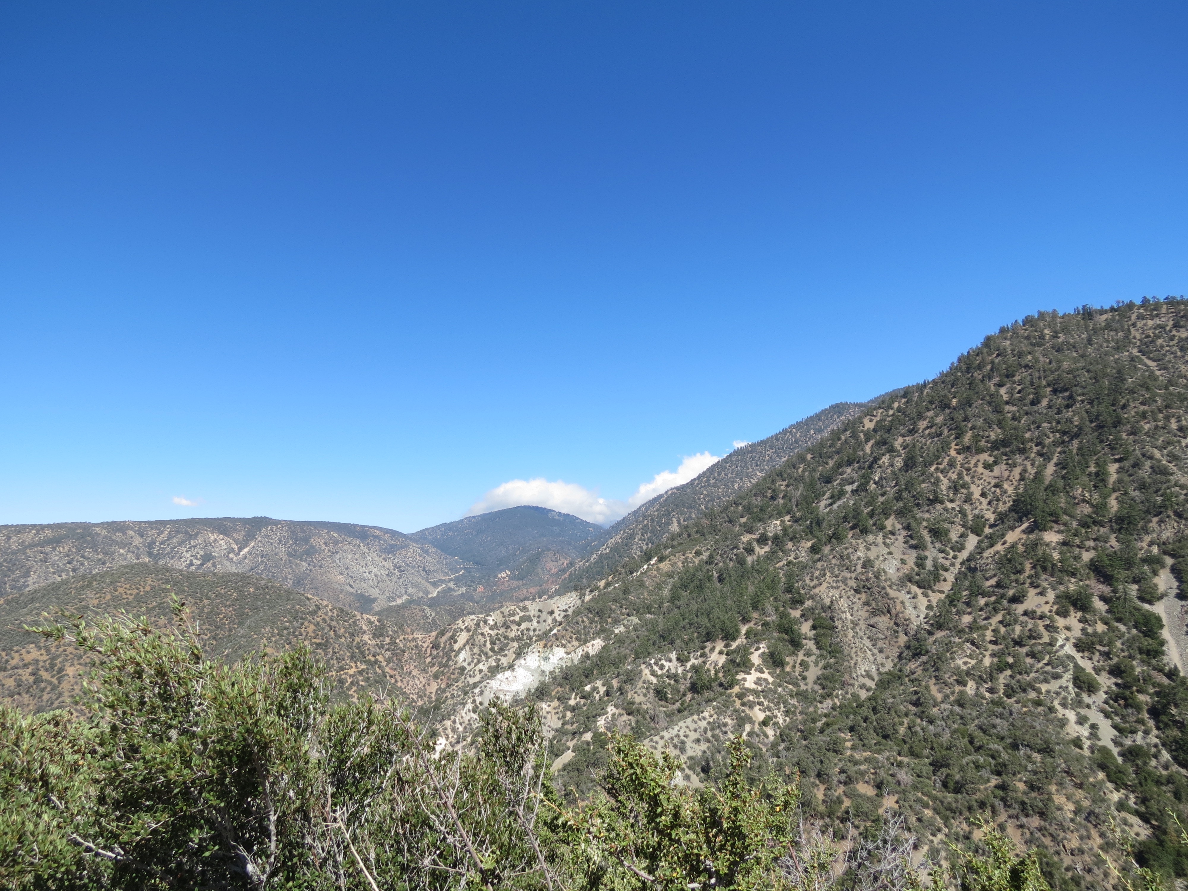
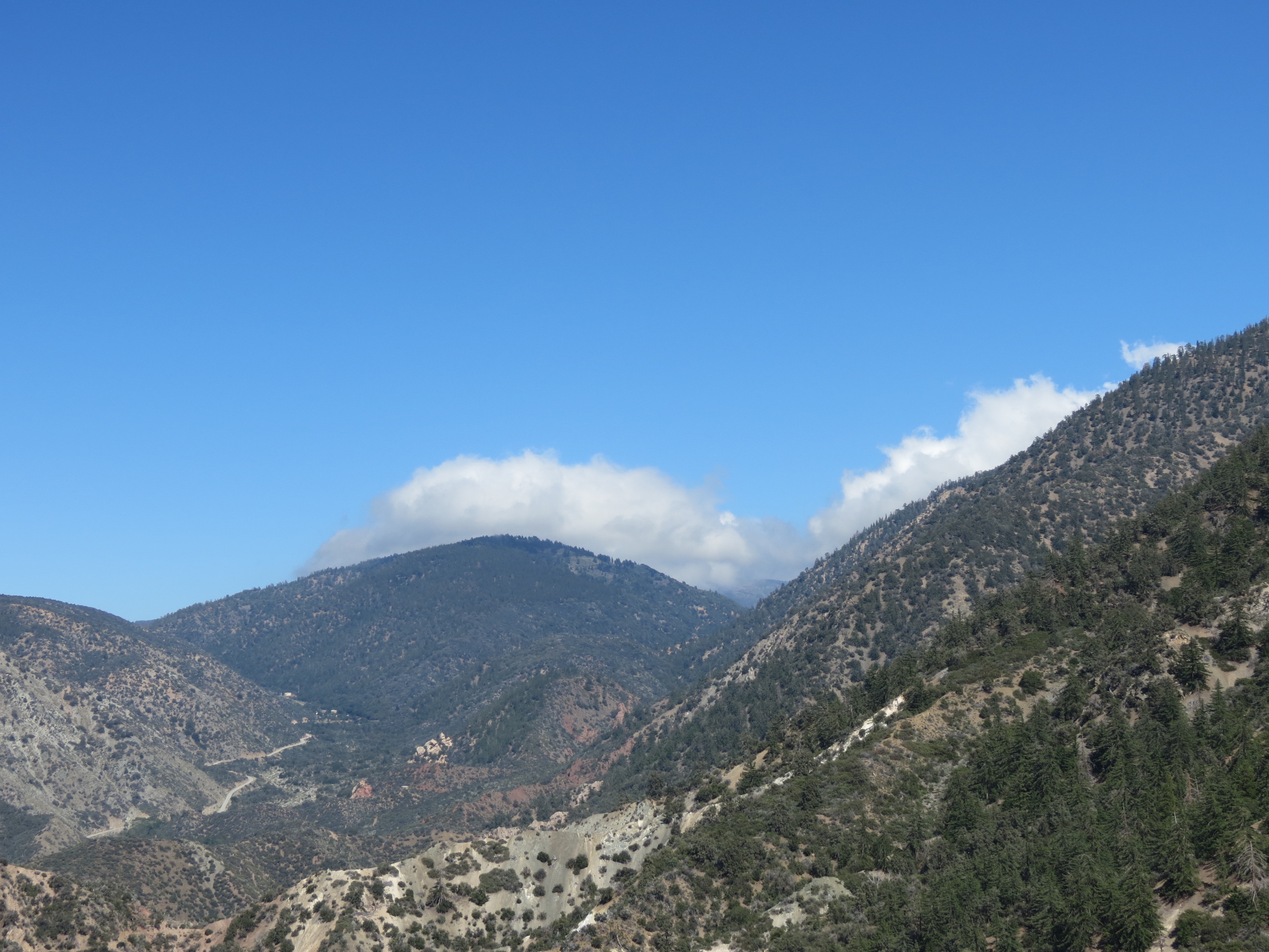

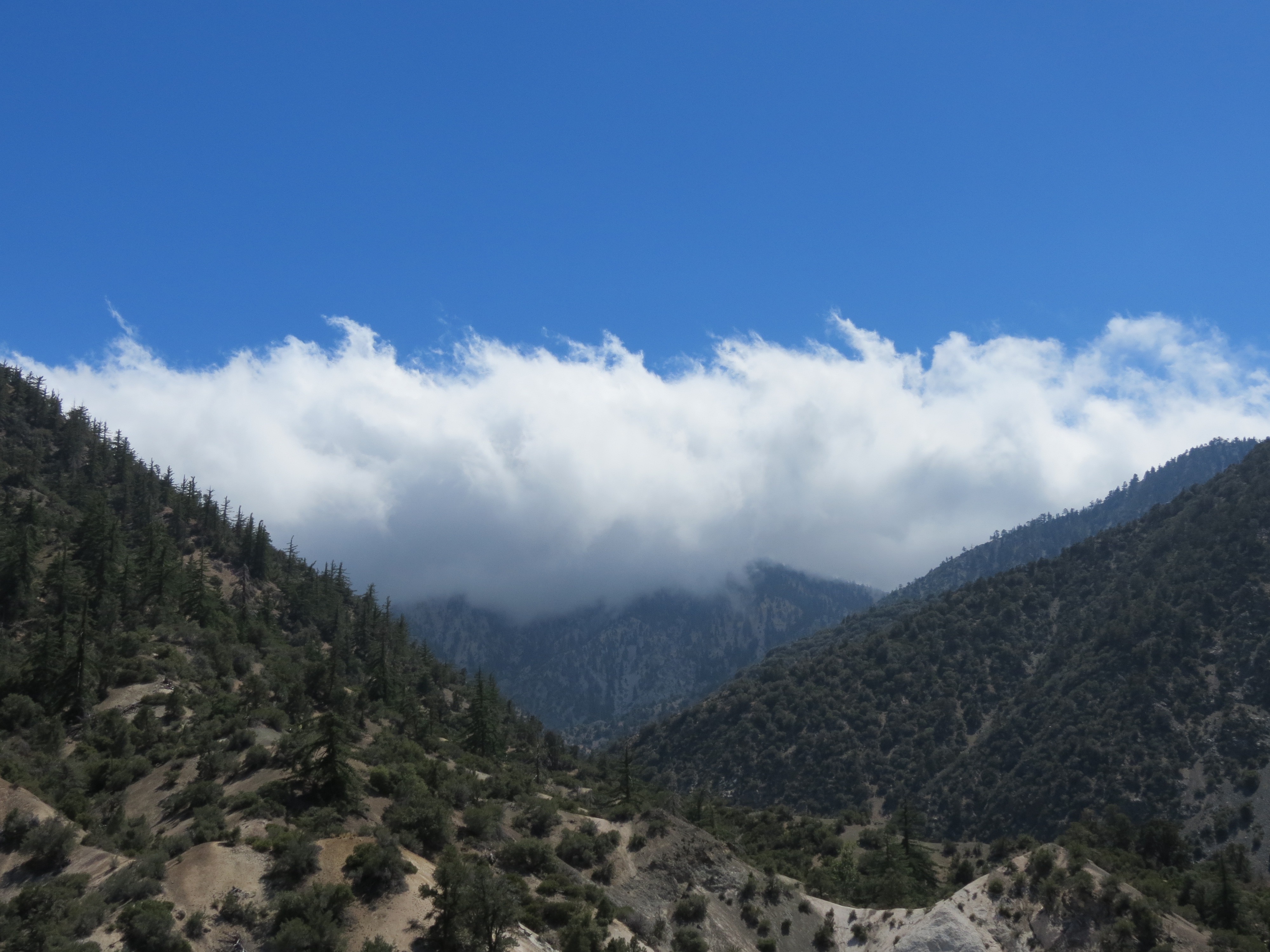
It was an unseasonably cool day for June in the desert, about 60º-62º. There had been no spraying for a day or two, hence the relatively clear skies and, amazingly, some natural clouds with minimal heavy metals contaminating them. 1) View toward Devil's Punchbowl (named after the rock formations) and Antelope Valley, as viewed from the National High Desert Recreational Trail at about 5400' in elevation. 2) View toward upper reaches of San Gabriel Mountains, just to the north and lower in elevation than Mount Lewis and Highway 2. 3-4) Jackson Flat in the distance with clouds near the town of Wrightwood. On the left is Big Rock Creek Road coming out of the valley that is the turnaround point for my 14 mile roundtrip hike that begins at the Devil's Punchbowl parking area. 5-6) Up 3000' higher in elevation is Mount Williamson obscured in clouds. It would have been uncomfortably cool up there today. I brought a friend of mine along, a fellow special education teacher from the Coachella Valley area. The three stream crossing were running still, but two probably have just a few weeks left in them before drying up. It was nice to douse myself with the spring water, despite being contaminated with aluminum as it likely was. I purchased a 40 oz Nalgene BPA free water bottle just for showering in these streams, leaving my stainless Klean Kanteen brand bottles for drinking unless no other water is available for dousing myself. It worked well, the water was freezing cold and I was able to conserve my distilled drinking water. 6/11/2017
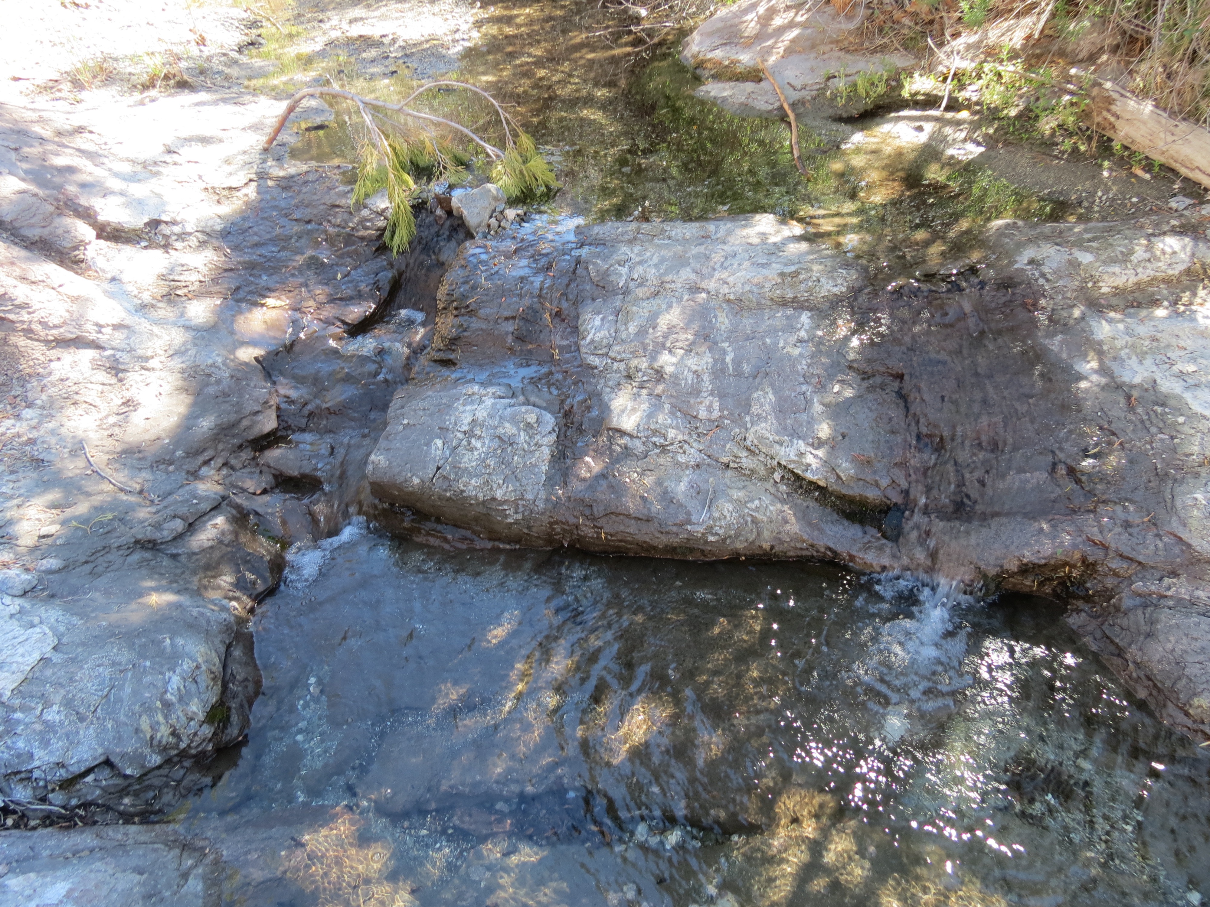
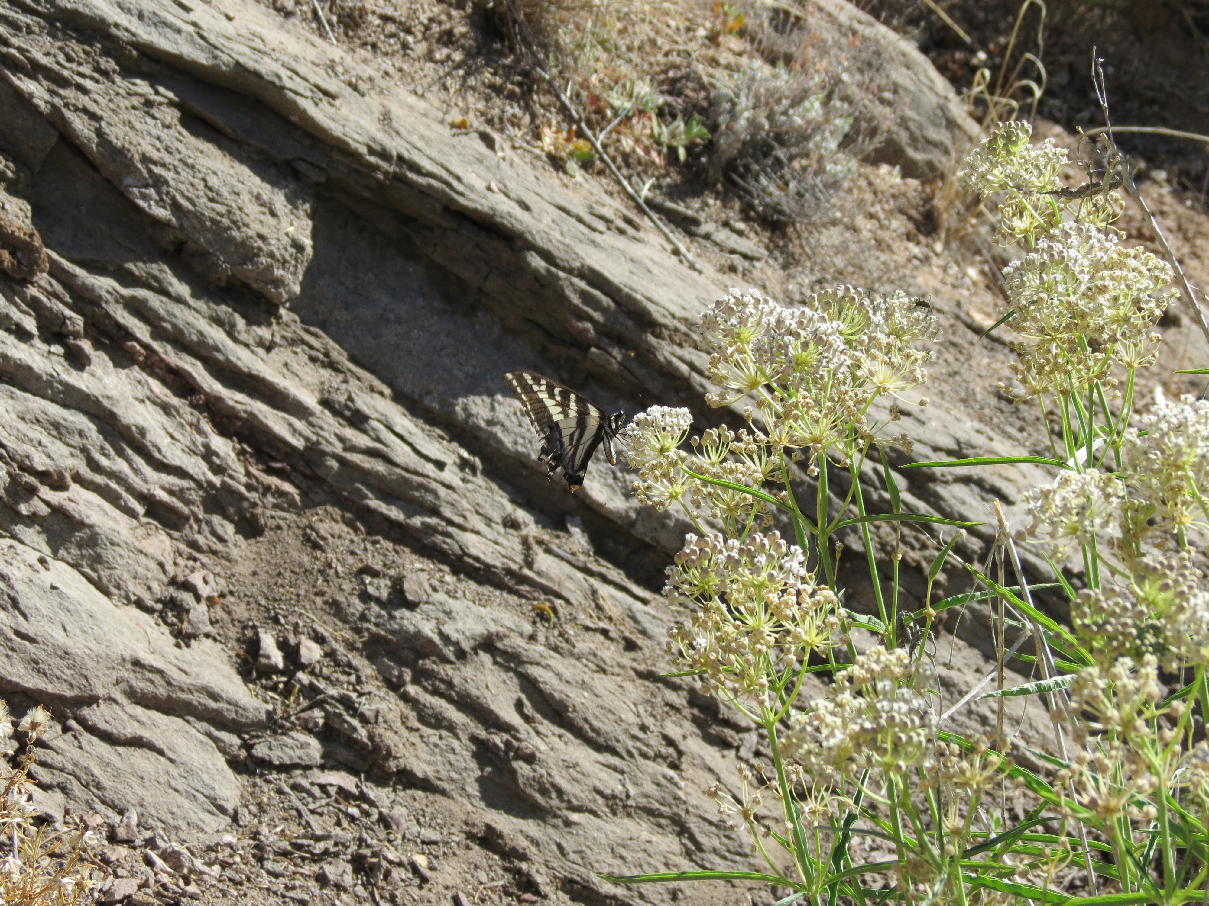
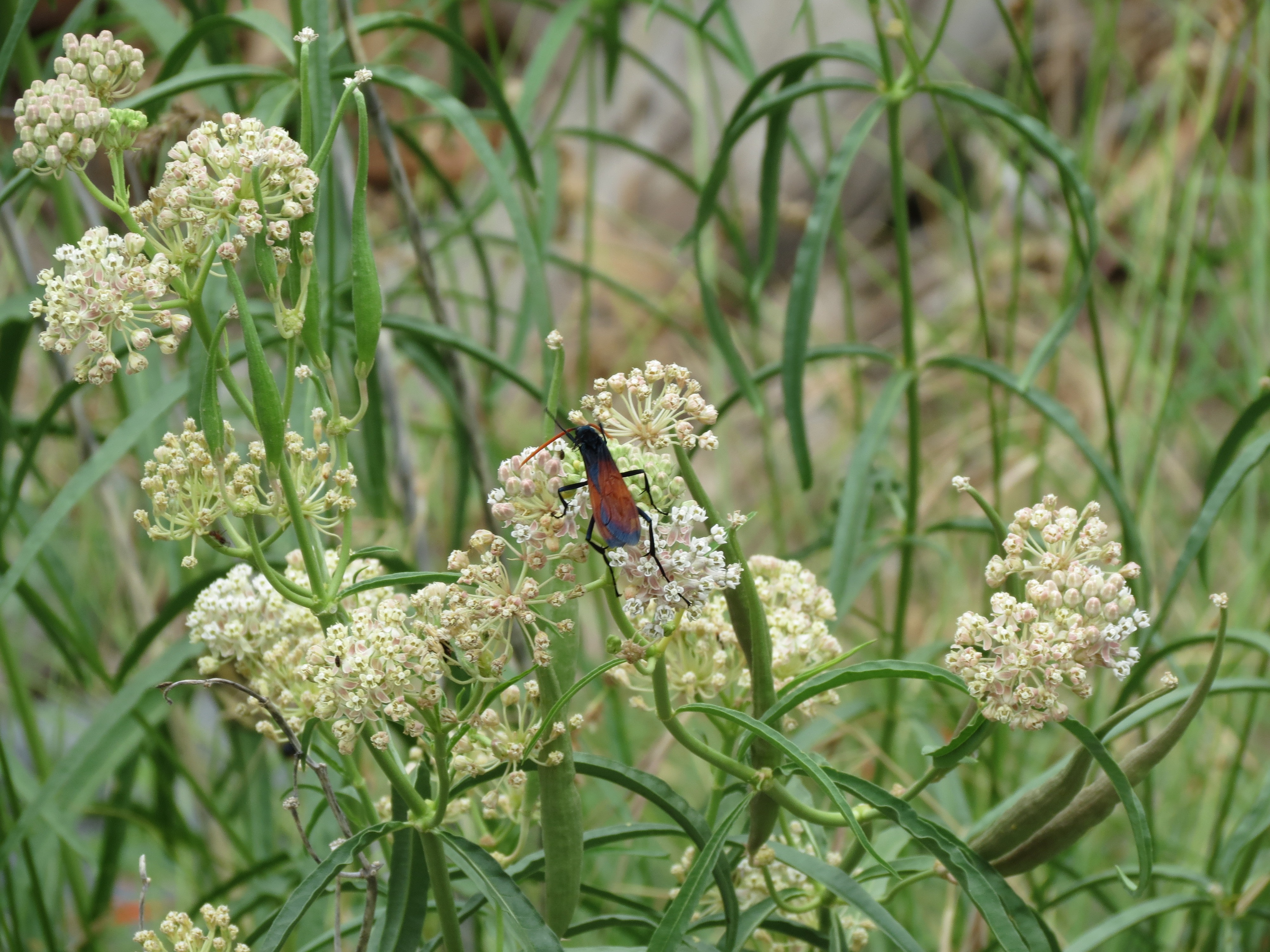
Ice cold spring in Holcomb Canyon. It was dry higher up the creek bed and I was surprised at the quantity of water flowing lower down, and how cold it was! I dropped three stainless containers full of distilled water into the creek to cool down. I then stripped down to my underwear and stepped into the water up to my calves, proceeding to dowse myself repeatedly. Click here for 3 minute video I took of the spring. Desert Black Swallowtail butterfly (Papilio polyxenes coloro) (*) nibbling on some milkweed just a few feet from the water. 6/27/2017
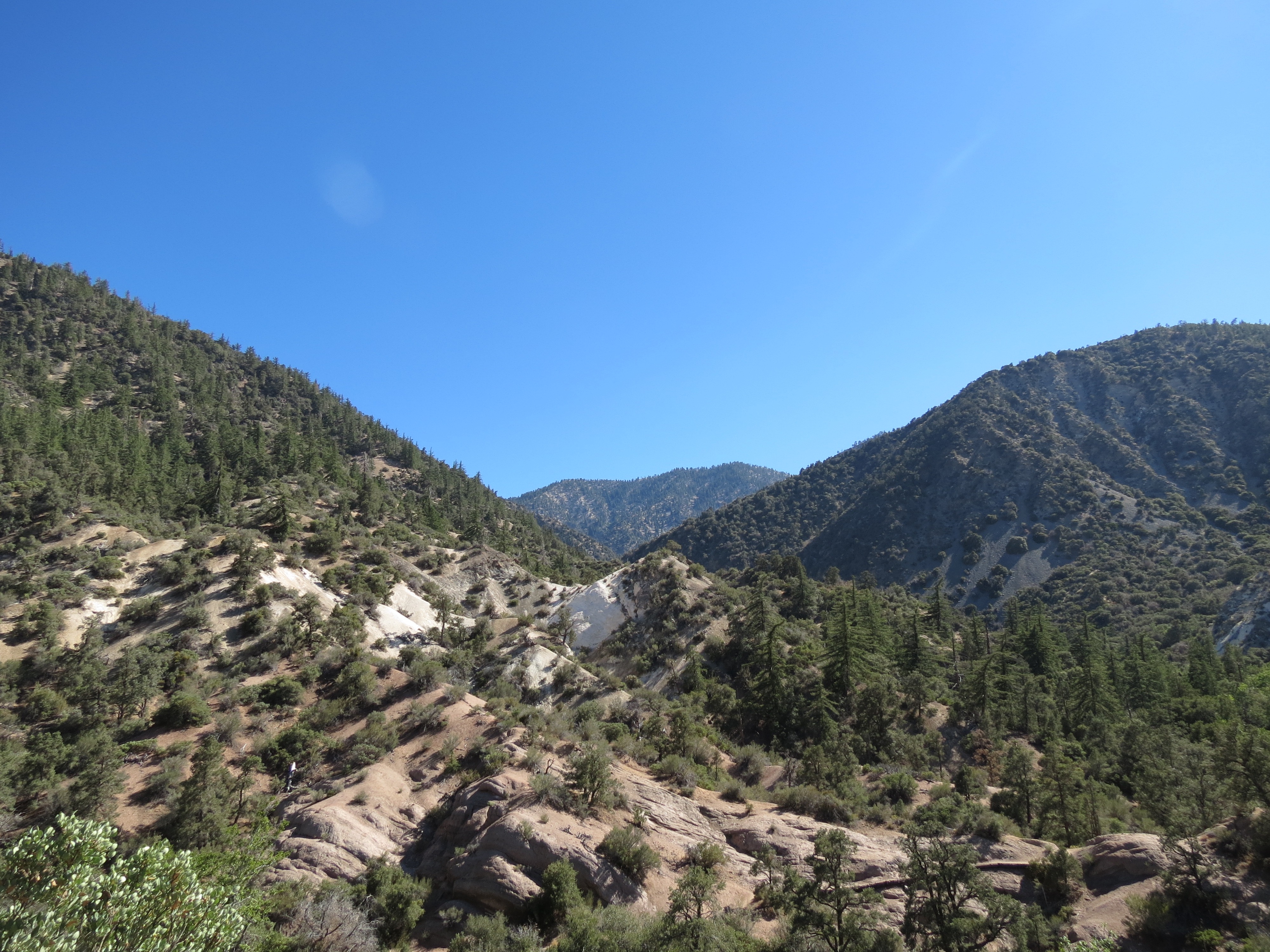
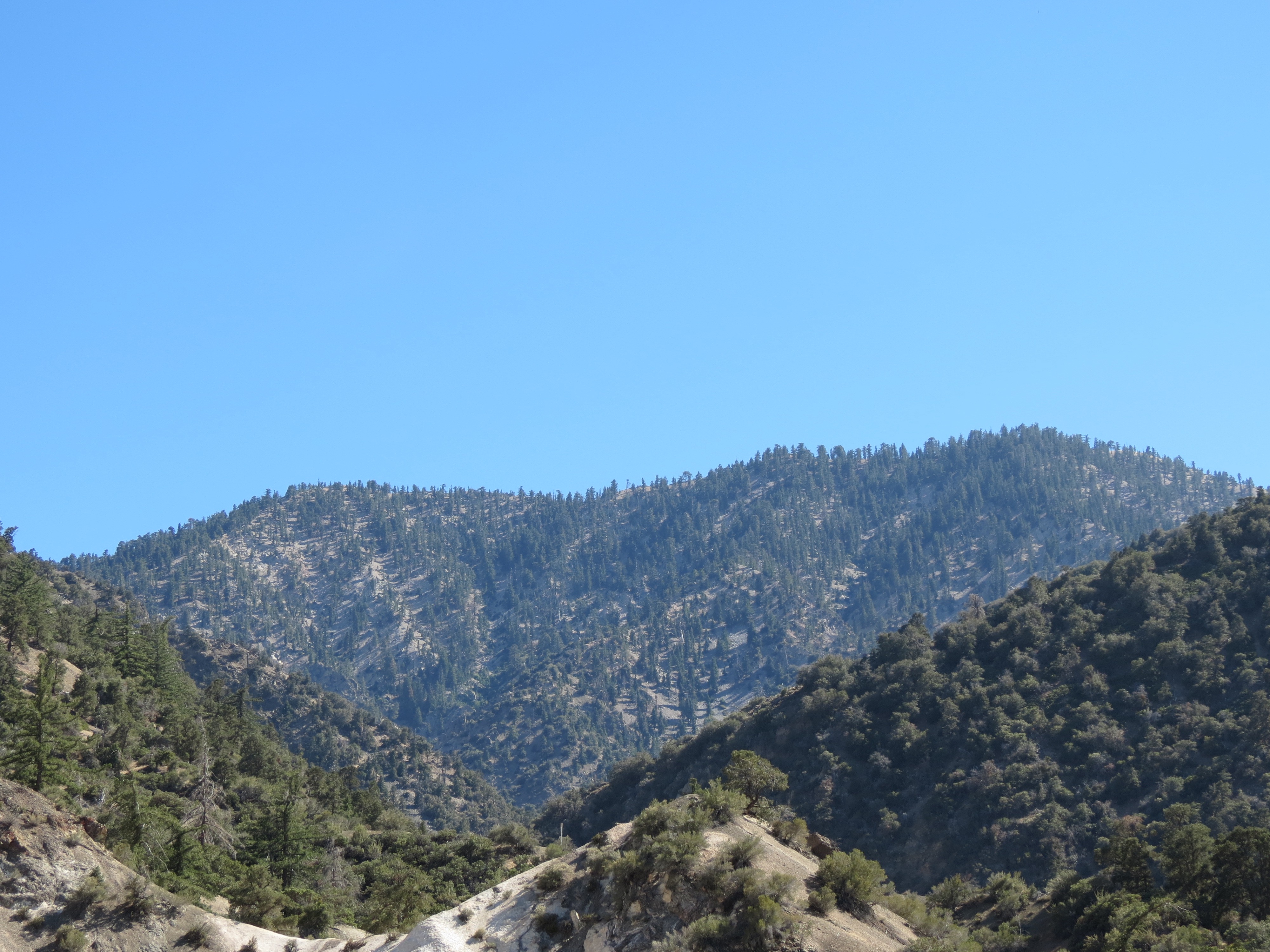

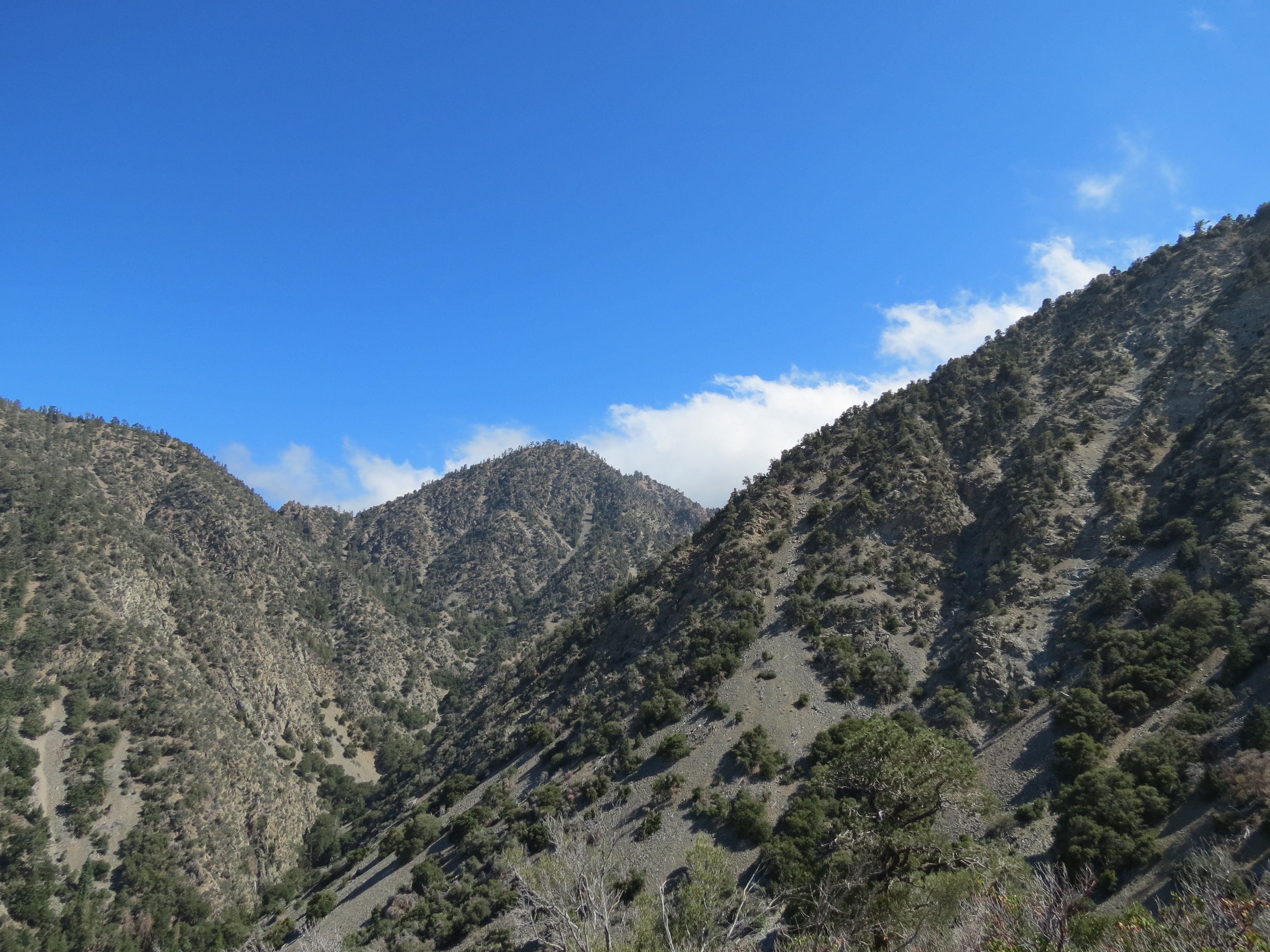
1-2) Shots of Mount Williamson from the eastbound switchback leading out of Holcomb Canyon. In the closeup you can see the entire length of the 3/4 mile length of Mount Williamson, with the summit on the left, which is where the trail from Islip Saddle takes you, to the western end and actual highest elevation (8214') to the right. 3-4) Pic and closeup again, of Mount Williamson. Note the descent from Mount Williamson to a gap a few hundred feel in elevation down, with a rise again to another peak. This is the route you take when accessing the plane wreckage that takes about 90 minutes to get to from the end of Mount Williamson. 6/27/2017
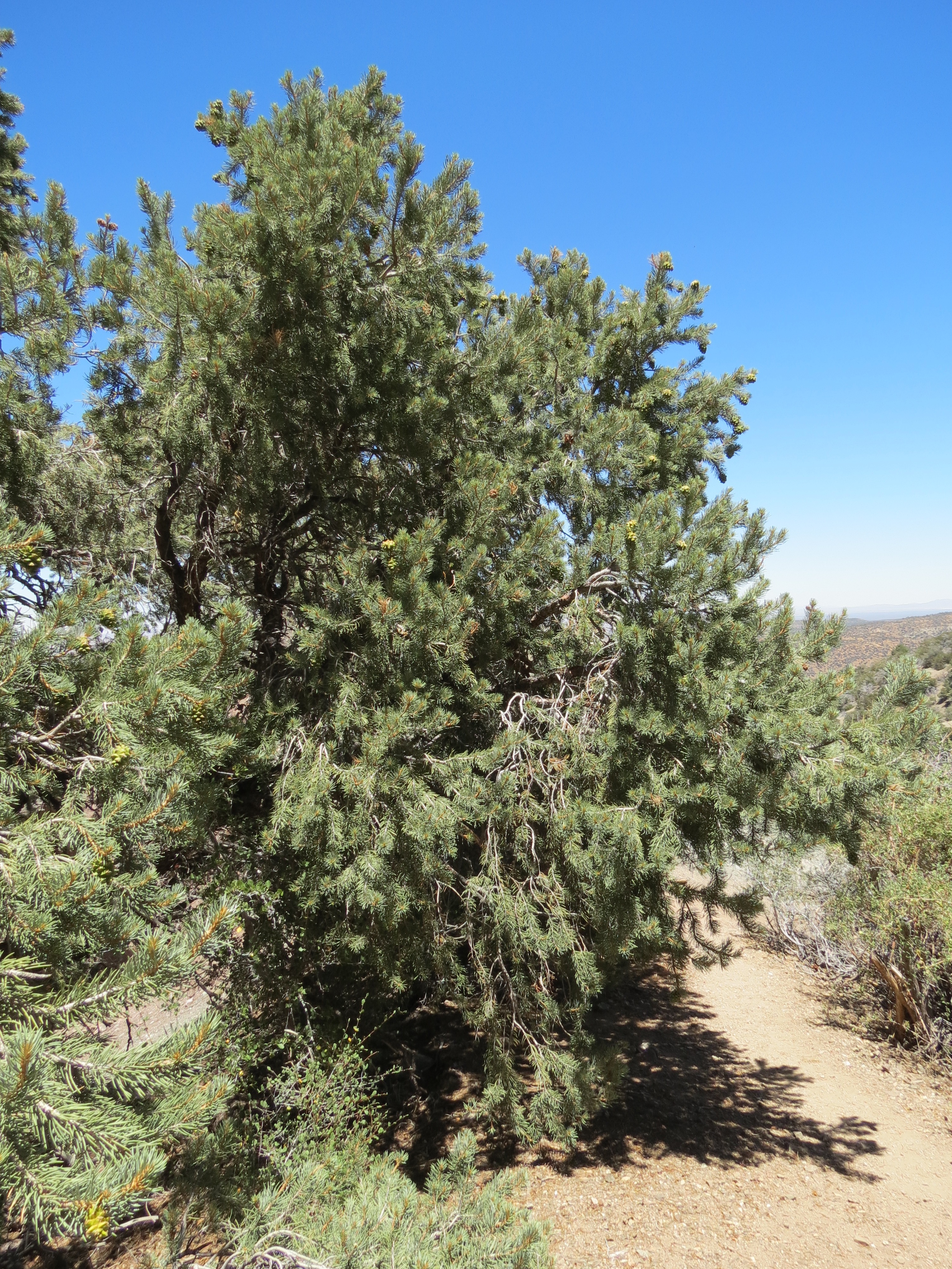

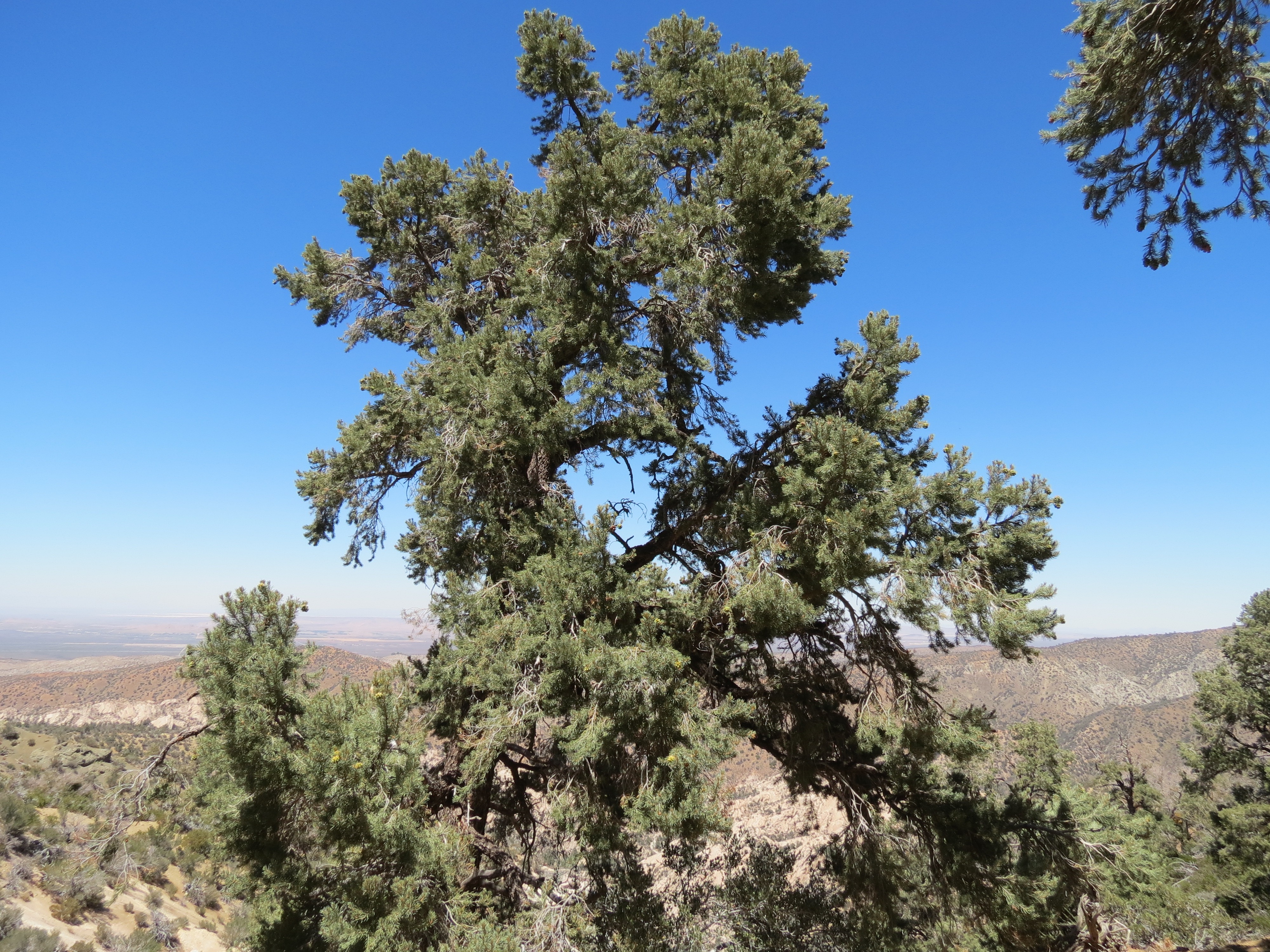

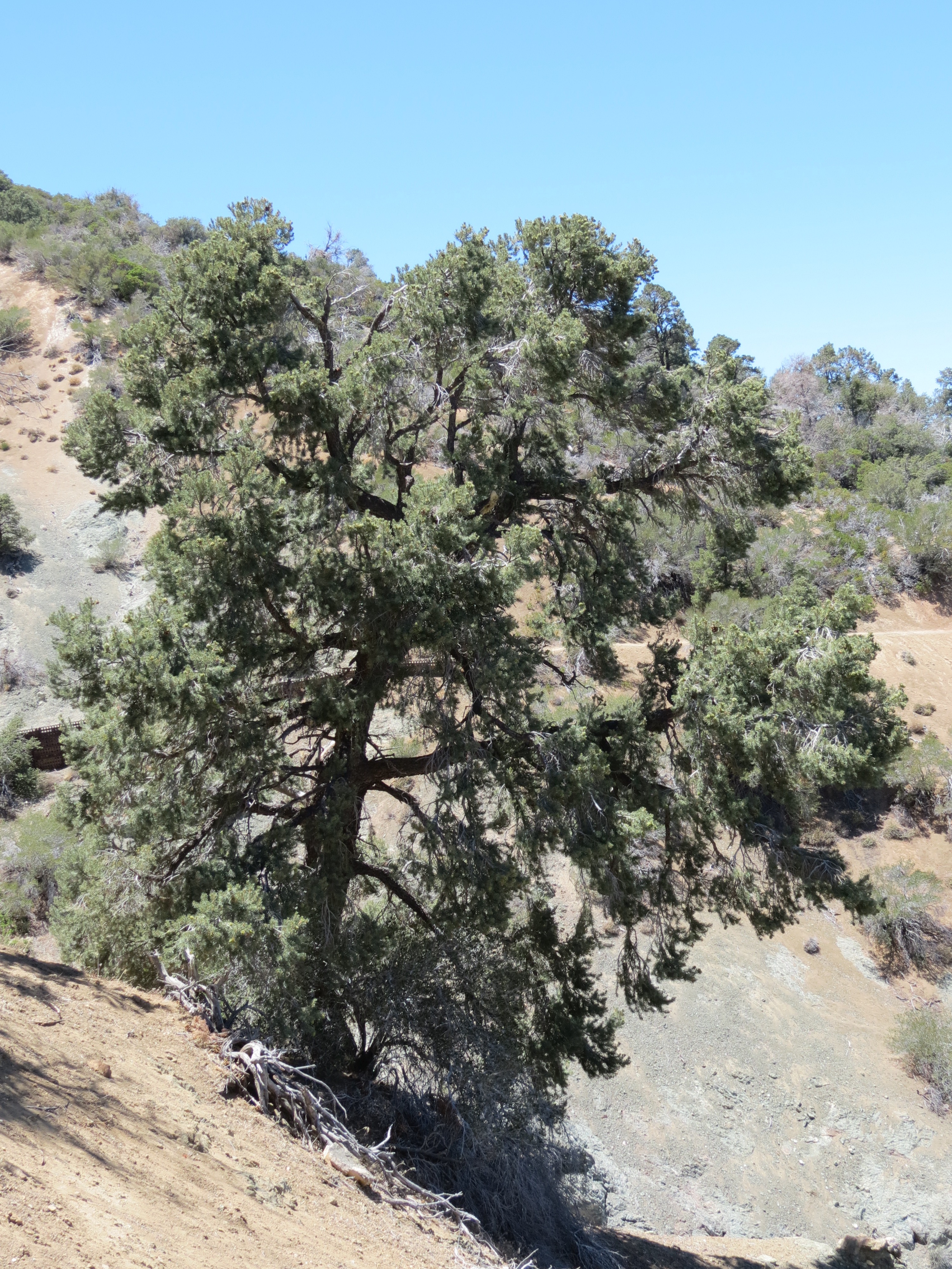
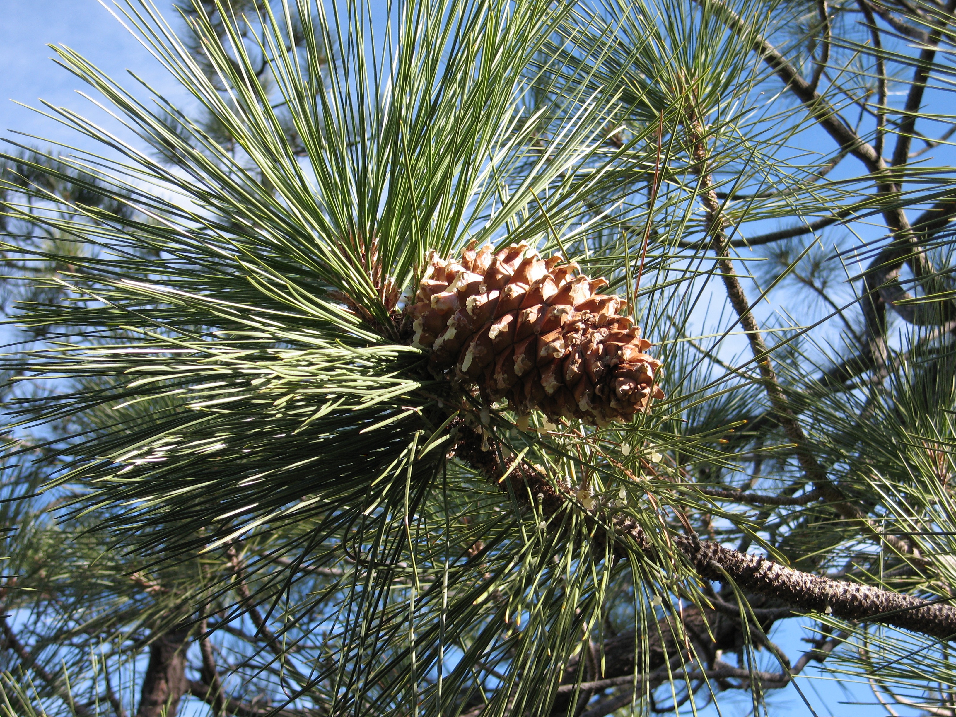
Most of the pinyon pine in the area have been visibly traumatized by the lack of precipitation and heavy metals, molds, and other toxic agents spread by the spraying program. So I was overjoyed to see a couple of specimens that were bursting forth with new pine cones (although several of the babies had dropped). I picked one off the ground and rubbed it's sap into my skin and dabbed my nostrils with it. Pine sap is a natural immune enhancer, with a delightful fragrance. 6/27/2017


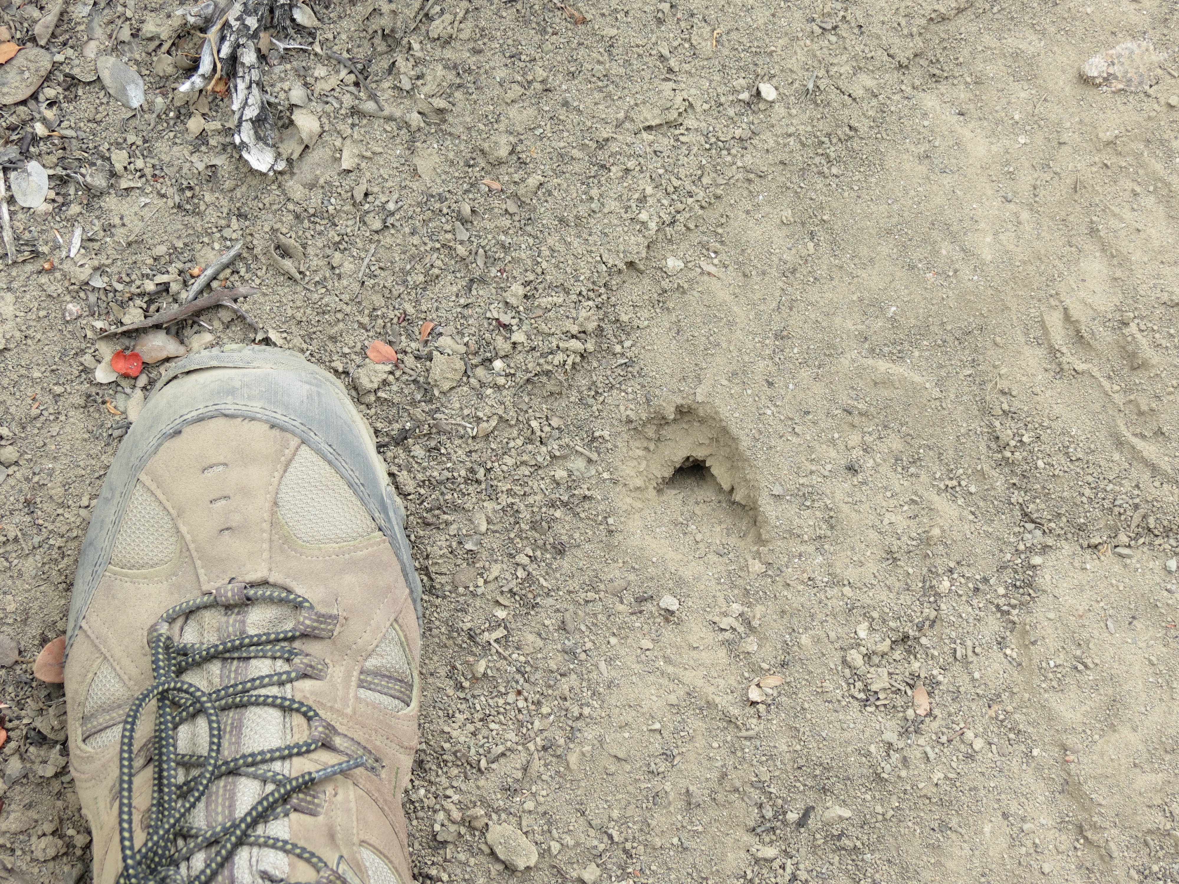


1) Plane towing glider out of Llano above the San Gabriel Mountains. 2-4) Hole from which emerged at least two baby horny toads. 5-6) A horny toad in hand is worth two in the manzanita bush. 7) Baby horny toad on the loose! 8-9) Milkweed on a nearly dried up Holcomb Creek with closeup of tarantula wasp. 7/25/2017
Criminal Aerosol Spray Operations - AKA "Chemtrails"
Electrical Sensitivity, Human Health, And Environmental Illness
Electrical Sensitivity - Personal Symptoms And Reflections
Healthful Diet And Lifestyle, Environmental Toxins, And Multiple Chemical Sensitivities
Heart Chakra Opening - Signs And Symptoms
Kundalini Awakening - Spiritual Signs And Symptoms
Kundalini Awakening - Spiritual Signs And Symptoms - Additional Posts
Kundalini Awakening - Spiritual Signs And Symptoms - EMF Complications - More
Kundalini, Orgasm, Masturbation And The Spiritual Function Of Sexual Fluids
Sexual Deviancy And Its Relation To Fear, Control, Power, Vitality, Innocence, Youth, and Death
This page was first uploaded on 8-10-2016, last modified on 8-2-2017.
All contents and design by Kundalini & Cell Towers © 2016-2017